Israel is a long, thin country on the eastern Mediterranean, a few hours' drive
from the Lebanese border in the north to the Red Sea at Eilat in the south. The
state divides itself into six districts (mehozot), and each district into
subdistricts (nafot). Six is too few for a quiz, so this game asks for the
subdistricts and groups them by the district they belong to.
- The quiz
- Name to place, on the map
- Grouped by
- The six districts the subdistricts belong to
- In the game
- 15 subdistricts
What you are looking at
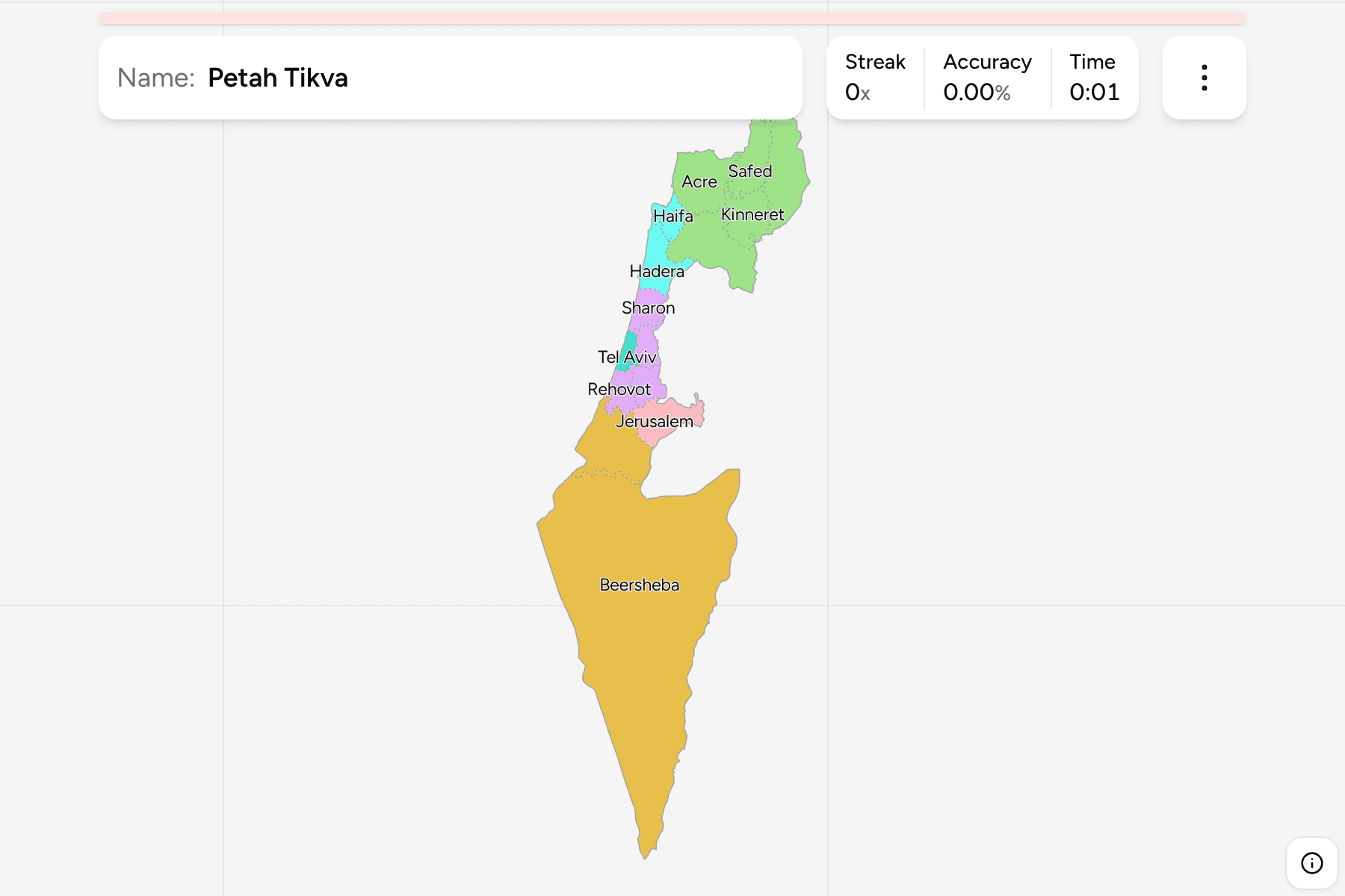
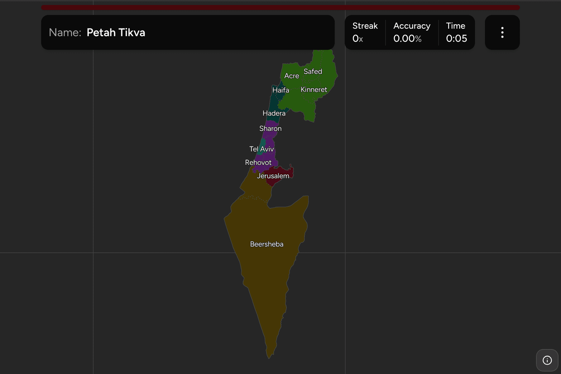
The subdistricts of Israel as the state administers them inside the Green Line,
with the Golan Heights included. The West Bank and the Gaza Strip are not drawn
here. Subdistricts are named for their main town or region, in the usual
English spelling, so some are cities (Tel Aviv, Haifa, Jerusalem) and some are
landscapes (the Golan, the Sharon, the Jezreel valley).
The sizes are wildly uneven, which is what makes the map harder than the count
suggests. The Negev desert makes up most of the country's area and belongs to a
single subdistrict, while the coastal plain between Haifa and Ashkelon is
carved into a row of slices barely a few dozen kilometres across.
How to place one
- Start with the desert. The one huge southern subdistrict is Beersheba,
a wedge that narrows to a point at the Red Sea.
- Walk up the coast. Ashkelon, Rehovot, Tel Aviv, Petah Tikva and the Sharon
follow one another from the Gaza border towards Haifa, and Hadera, Haifa and
Acre carry on to the Lebanese border.
- Fill in the middle. Ramla and Jerusalem sit inland of the coastal plain,
with Jerusalem against the West Bank.
- Finish in the north. The Jezreel valley, Kinneret, Safed and the Golan
fill the Galilee, with the Golan on the high ground east of the Sea of
Galilee.
Every subdistrict, by district
- Northern District5 subdistricts
- Acre, Golan, Jezreel, Kinneret, Safed
- Central District4 subdistricts
- Petah Tikva, Ramla, Rehovot, Sharon
- Haifa District2 subdistricts
- Hadera, Haifa
- Southern District2 subdistricts
- Ashkelon, Beersheba
- Tel Aviv District1 subdistrict
- Tel Aviv
- Jerusalem District1 subdistrict
- Jerusalem
Worked examples
Tel AvivThe smallestTel Aviv is a short stretch of coast about the size of the city itself, with
Petah Tikva behind it and Rehovot to its south. It is the one subdistrict that
is also a district, so it has no neighbour of its own group.
BeershebaThe largestBeersheba is the whole Negev, more than half of the country's area, with
Egypt to its west and Jordan along the Arava valley to its east.
GolanThe far northeastThe Golan is the plateau in the northeastern corner, above the Sea of Galilee
and against the Syrian border. Israel has administered it since 1967, and the
game draws it with the rest of the country, as the state does.
Frequently asked questions
Why does the game ask for subdistricts rather than districts?
Israel has only six districts, which is too few to make a quiz. The subdistricts are the next tier down, and the game groups them by district so you can learn the map a district at a time.
Why are the West Bank and Gaza not on the map?
The game draws the territory the Israeli districts cover inside the 1949 armistice lines, plus the Golan Heights. Its Palestinian neighbour is a separate map.
Are the names spelled the way I have seen them?
The game uses the common English forms, such as Safed, Acre, Beersheba and Ashkelon, since Hebrew names have no single romanisation.
Sources