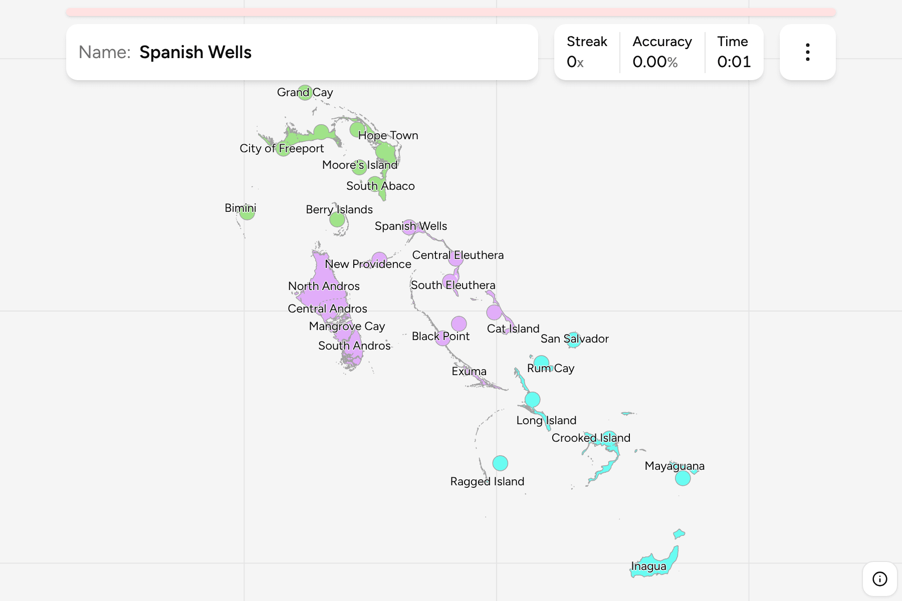
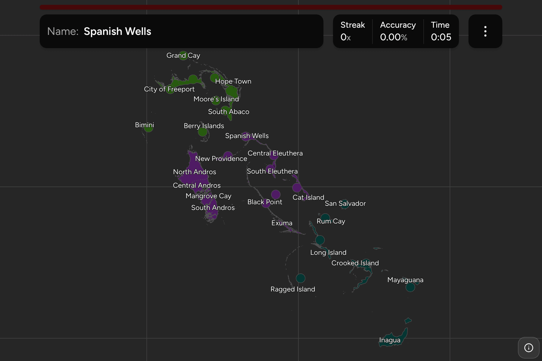
The Bahamas is an archipelago of about seven hundred islands spread across more
than a thousand kilometres of shallow sea, and its government does not try to
name them one at a time. It divides the country into districts instead: slices
of the four big islands (Abaco, Andros, Eleuthera and Grand Bahama), single
islands such as Long Island and Cat Island, and a few clusters of cays. New
Providence, home to the capital, Nassau, and most of the population, is the one
place run from the centre with no district council. This map draws the lot.
- The quiz
- Name to place, on the map
- Grouped by
- The north, the centre and the south of the chain
- In the game
- 32 districts
What you are looking at
Each district is drawn as the land it governs, with the sea left empty, so a
district made of cays is a scatter of specks and a district on a big island is a
piece of that island. That is why so many of the small ones are marked with a
circle: it is the thing to tap, since the islands themselves are a few pixels
across when the whole country fits on the screen.
The big islands are cut into numbered-by-compass districts. Abaco is North,
Central and South Abaco, with Hope Town on its offshore cays; Andros is North,
Central and South Andros with Mangrove Cay between the last two; Eleuthera is
North, Central and South Eleuthera, with Harbour Island and Spanish Wells off its
northern tip; and Grand Bahama is East and West Grand Bahama around the City of
Freeport.
Bimini is drawn as the islands along the western rim of the Great Bahama Bank.
The district also holds the Cay Sal Bank, a few specks of reef far to the west
off Cuba, which are left out of the drawing so the map is not a degree wider for
land too small to see.
The groups are not an official classification. They are the north, the centre
and the south of the chain, and a way to learn the map a piece at a time.
How to place one
- Start with the big four. Grand Bahama and Abaco are the two large islands
at the top. Andros is the biggest island of the country, due west of Nassau,
and Eleuthera is the long thin curve to its east.
- Find Nassau. New Providence is the small island just north-east of Andros,
and the capital's district is the one thing on the map with no neighbour of its
kind.
- Walk down the chain. Cat Island, San Salvador, Rum Cay and Long Island run
south-east, then Crooked Island and Acklins wrap round a shallow bay.
- Finish in the far south. Mayaguana and Inagua are the last two, Inagua
being the large island at the very bottom, close to Haiti.
Every district, by group
- North11 districts
- Berry Islands, Bimini, Central Abaco, City of Freeport, East Grand Bahama, Grand Cay, Hope Town, Moore's Island, North Abaco, South Abaco, West Grand Bahama
- Centre13 districts
- Black Point, Cat Island, Central Andros, Central Eleuthera, Exuma, Harbour Island, Mangrove Cay, New Providence, North Andros, North Eleuthera, South Andros, South Eleuthera, Spanish Wells
- South8 districts
- Acklins, Crooked Island, Inagua, Long Island, Mayaguana, Ragged Island, Rum Cay, San Salvador
Worked examples
New ProvidenceThe capitalNew Providence is a small island north-east of Andros, and the whole of
Nassau sits on it. It is the first thing to find, and the other small
islands near it make a good second step.
InaguaThe far southInagua is the southernmost district and the largest island of the south,
alone at the bottom of the map with Mayaguana as its nearest neighbour.
Spanish WellsA district you tap by its circleSpanish Wells is a pair of small cays off the northern tip of Eleuthera, next
to Harbour Island. At country scale it is a speck, so the circle is what you
tap.
Frequently asked questions
How many districts does the Bahamas have?
Thirty-one local government districts, plus New Providence, which is run by the central government. The game draws all thirty-two.
Why are the districts named North, Central and South?
The large islands of Abaco, Andros and Eleuthera are each split into three districts along their length, and are named for where they sit on the island.
Why is Bimini missing its far-western cays?
The Cay Sal Bank belongs to Bimini district but lies about 150 kilometres west of the rest, and the reefs are too small to see at this scale, so the map is clipped to the Bimini islands.
Does the Bahamas group its districts into regions?
It has no grouping players use. The groups here are the north, the centre and the south of the chain, and they will not match every list you find.
Sources