Venezuela runs from the Andes and Lake Maracaibo in the west, across the
plains of the Orinoco, to the Guiana Highlands and the delta in the east. The
state is the unit that settles a round there, because it tells you which of
those landscapes you are in before it tells you anything else.
- The quiz
- Name to place, on the map
- Grouped by
- Administrative region: the nine Venezuela plans by
- In the game
- 25 states
What you are looking at
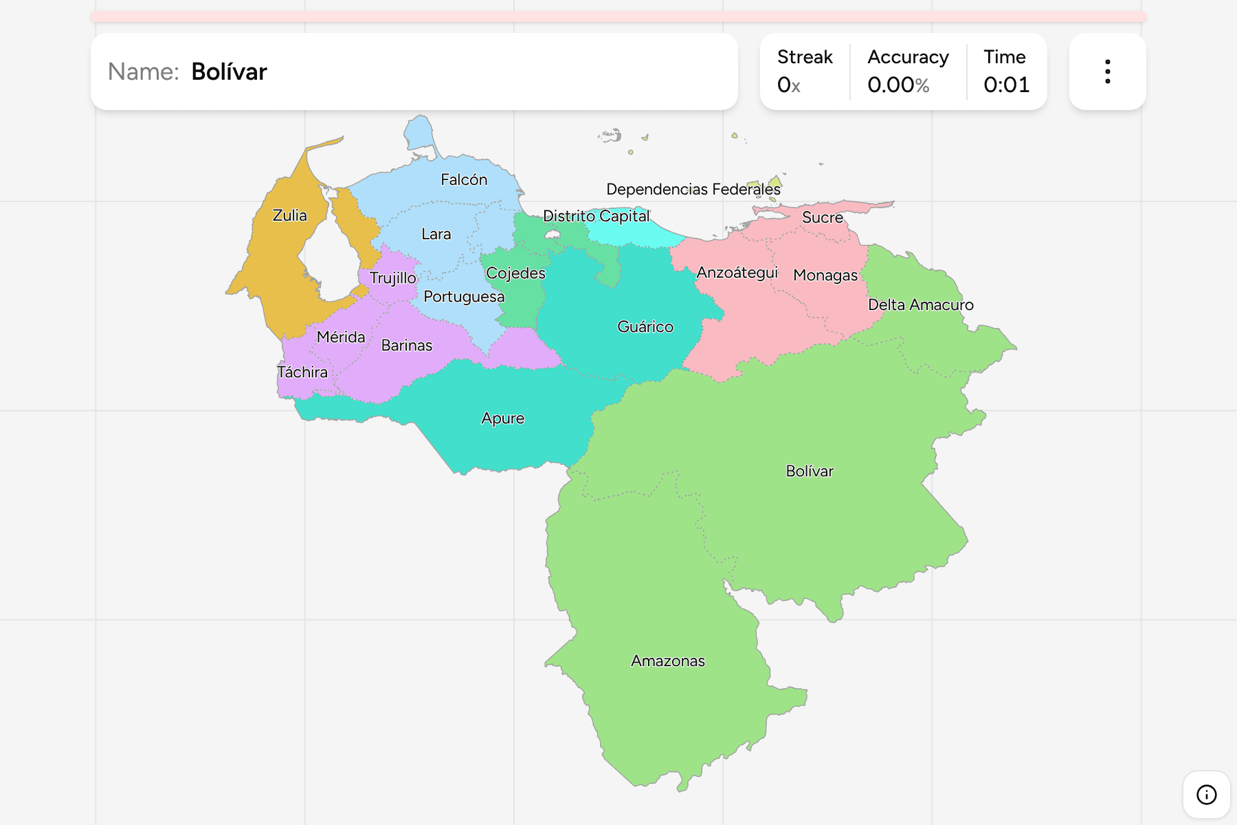
The first tier of Venezuela: its states (estados), the Capital District
(Distrito Capital) around Caracas and the Federal Dependencies (Dependencias
Federales), the Caribbean islands that belong to no state. La Guaira is the
coastal state north of Caracas that used to be called Vargas.
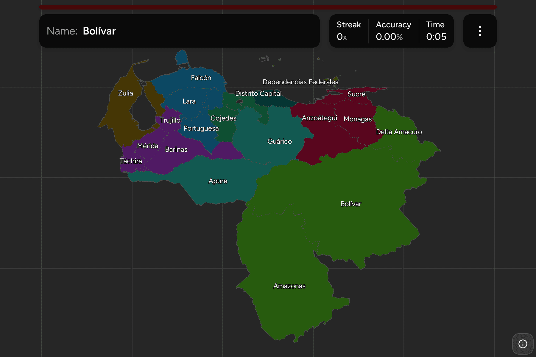
The map is lopsided. Bolívar and Amazonas fill the whole south east, a third of
the country, while the north coast packs a dozen small states and the capital
into a strip a few hundred kilometres long. Nueva Esparta is the island state
of Margarita, Coche and Cubagua, and the Federal Dependencies are scattered
along the coast out to Los Roques and Los Testigos.
The groups are the nine administrative regions that Venezuela uses for
planning. The map is the territory Venezuela administers: the Guayana Esequiba
it claims from Guyana is not drawn.
How to place one
- Start with Bolívar. It is the big state in the south east, with Amazonas
to its west on the Brazilian border.
- Find Zulia. It wraps Lake Maracaibo in the north west, next to Colombia.
- Read the coast as a line. From Falcón on the Paraguaná peninsula, east
through Carabobo, Aragua, La Guaira, the Capital District and Miranda to
Sucre on the Paria peninsula.
- Read the plains as a block. Apure, Barinas, Guárico and Monagas sit
between the Andes and the Orinoco.
Every state, by region
- Guayana3 states
- Amazonas, Bolívar, Delta Amacuro
- Los Andes4 states
- Barinas, Mérida, Táchira, Trujillo
- Capital3 states
- Distrito Capital, La Guaira, Miranda
- Zuliana1 state
- Zulia
- Los Llanos2 states
- Apure, Guárico
- Nor-Oriental3 states
- Anzoátegui, Monagas, Sucre
- Centro-Occidental4 states
- Falcón, Lara, Portuguesa, Yaracuy
- Insular2 states
- Dependencias Federales, Nueva Esparta
- Central3 states
- Aragua, Carabobo, Cojedes
Worked examples
BolívarThe biggest of themBolívar is the largest state by a wide margin, holding the Guiana Highlands,
Angel Falls and most of the country's mining and hydropower.
Distrito CapitalThe small one that is the capitalThe Capital District is a sliver of valley on the coast, holding the city of
Caracas proper. The metropolitan area spills across it into Miranda, which is
why the two are easily confused.
Frequently asked questions
How many states does Venezuela have?
23, plus the Capital District and the Federal Dependencies, which makes 25 first-level units.
Which state is Caracas in?
The Capital District, with the metropolitan area reaching into Miranda and La Guaira.
Why is there no municipalities game?
The only open municipal boundary file draws 334 of Venezuela's 335 municipalities, so it cannot be used honestly yet.
For another country at this level, see
Colombia Departments.
Sources