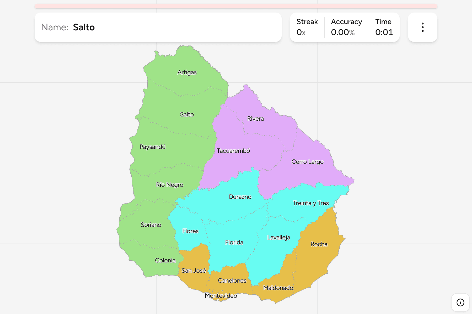
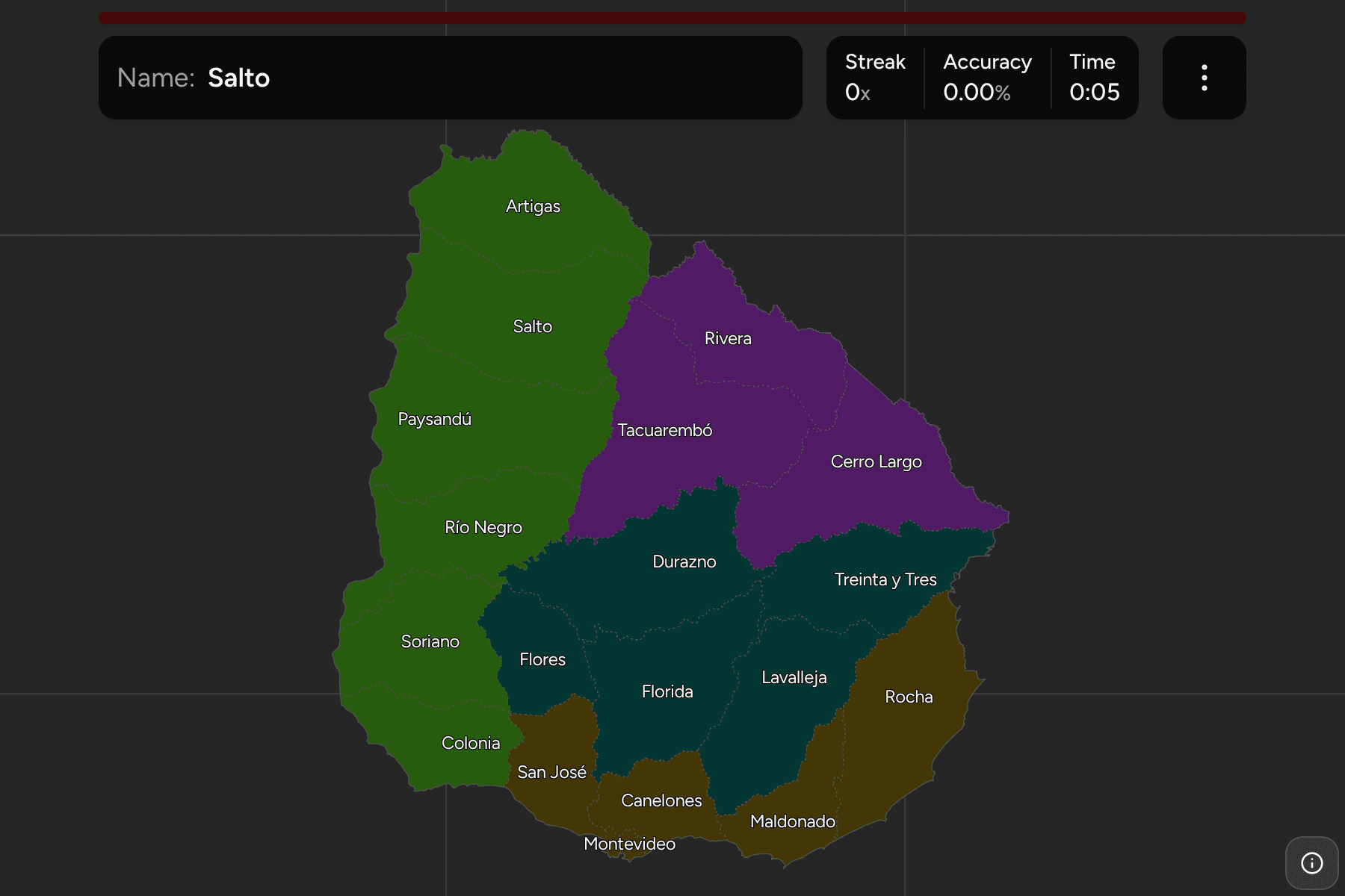
Uruguay is a small country with a simple shape: a rolling green plain between
Brazil to the north and east, Argentina across the Uruguay river to the west,
and the Río de la Plata and the Atlantic to the south. Its 19 departments
(departamentos) are the only tier of government that matters to most people,
they cover the country without a gap, and they are what the licence plates, the
road signs and the weather forecast are all named after.
- The quiz
- Name to place, on the map
- Grouped by
- The Litoral, the Norte, the Centro, and the Sur y Este
- In the game
- 19 departments
What you are looking at
The 19 departments of today, named in Spanish. Montevideo, the capital, is both
the smallest and the one with the most people, and it is surrounded on the land
side by Canelones. Everything else is one of eighteen mostly rural departments,
several of them of a similar size, which is what makes the map harder than the
count suggests.
The groups are not an official classification, because Uruguay publishes none.
They are the four parts the country is usually described in: the Litoral along
the Uruguay river, the Norte on the Brazilian border, the Centro between them,
and the Sur y Este, which holds the capital and both coasts. They are a way to
learn the map a piece at a time.
How to place one
- Start with the river. The Litoral is a chain of six departments down the
Uruguay river, from Artigas in the corner to Colonia opposite Buenos Aires.
- Find Montevideo. The capital sits on the Río de la Plata, with Canelones
to the east and north and San José to the west.
- Follow the Brazilian border. Artigas, Rivera, Cerro Largo and Rocha run along it from the northwest to the Atlantic.
- Fill in the middle last. Durazno, Flores, Florida and Lavalleja are the
interior departments with no coast and no foreign border.
Every department, by group
- Litoral6 departments
- Artigas, Colonia, Paysandú, Río Negro, Salto, Soriano
- Norte3 departments
- Cerro Largo, Rivera, Tacuarembó
- Centro5 departments
- Durazno, Flores, Florida, Lavalleja, Treinta y Tres
- Sur y Este5 departments
- Canelones, Maldonado, Montevideo, Rocha, San José
Worked examples
MontevideoThe capitalMontevideo is a small department on the Río de la Plata, the smallest of the
19, and it is home to about forty percent of
the country.
RochaThe Atlantic cornerRocha fills the southeast corner, touching Brazil at the end of the border
and the Atlantic along its whole southern edge, with Maldonado to its west.
TacuarembóThe largestTacuarembó is the largest department, a broad inland block in the north
between Rivera and Durazno, with no coast.
Frequently asked questions
How many departments does Uruguay have?
19, and all of them cover land: the game has no territory outside them.
Does Uruguay group its departments into regions?
Not officially. The groups in this game are the four parts the country is commonly described in, and they will not match every list you find.
Why not the municipalities?
Uruguay's municipios were created from 2010 and do not cover the whole country, so the map would have holes in it. The departments are the full tier.
Sources