Ecuador is a small country with three very different strips in it: the Pacific
coast, the high Andes and the edge of the Amazon basin. The province is the unit
that settles a round there, because it tells you which of the three you are in
before it tells you anything else, and Galápagos is the part of the country that
a map of the mainland leaves out.
- The quiz
- Name to place, on the map
- Grouped by
- Natural region: the Costa, the Sierra, the Amazon and Galápagos
- In the game
- 24 provinces
What you are looking at
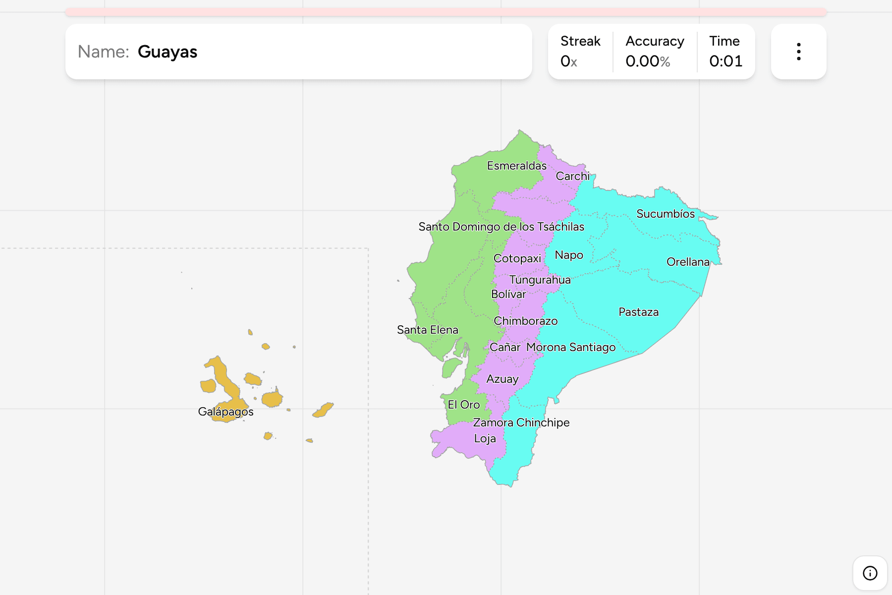
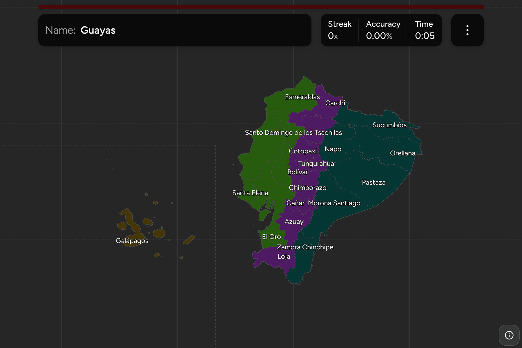
The provinces (provincias) of Ecuador. The two newest, Santa Elena and Santo
Domingo de los Tsáchilas, were split from Guayas and Pichincha in 2007, so older
maps and older guidebooks show 22.
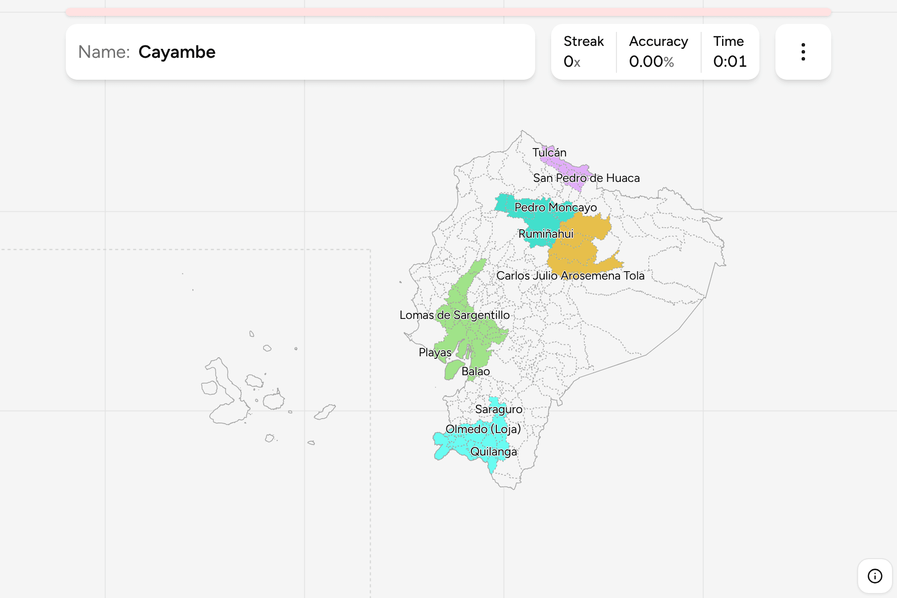
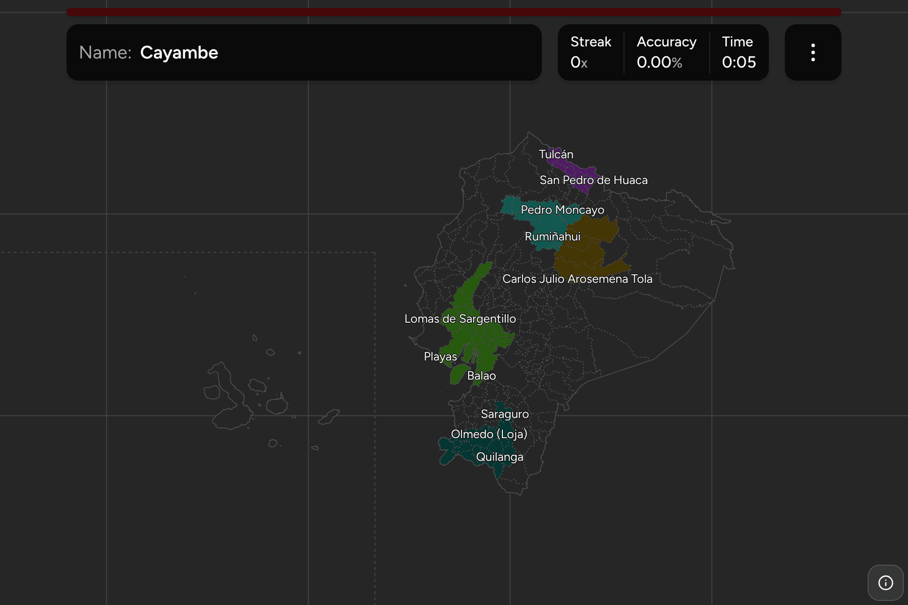
Galápagos is not where it is on the map. It lies about a thousand kilometres out
in the Pacific, so it is drawn in the sea south west of the mainland, behind a
dashed rule, at its true size and with its true shape. The answer is anywhere on
the islands.
The groups are the four natural regions Ecuadorians teach their own geography
in. The Costa is the Pacific lowland, the Sierra is the two ranges of the Andes
and the valley between them, the Amazon is the forest east of the mountains, and
Galápagos is the fourth region on its own. The provinces are the
Ecuador Cantons grouped, so the borders of the two maps match
exactly.
How to place one
- Start with the mountains. The Sierra is a spine running north to south
down the middle of the country, and the Costa and the Amazon are the two
sides of it.
- Find the Gulf of Guayaquil. Guayas sits on it and El Oro is the province
to its south, along the border with Peru.
- Read the Amazon as a column. Sucumbíos is at the top, on the Colombian
border, and Zamora Chinchipe is at the bottom, with Napo, Orellana, Pastaza
and Morona Santiago in between.
- Do the Sierra in order. It runs from Carchi on the border with Colombia
down through Imbabura, Pichincha, Cotopaxi, Tungurahua, Chimborazo, Cañar and
Azuay to Loja.
Every province, by region
- Costa7 provinces
- El Oro, Esmeraldas, Guayas, Los Ríos, Manabí, Santa Elena, Santo Domingo de los Tsáchilas
- Sierra10 provinces
- Azuay, Bolívar, Cañar, Carchi, Chimborazo, Cotopaxi, Imbabura, Loja, Pichincha, Tungurahua
- Amazon6 provinces
- Morona Santiago, Napo, Orellana, Pastaza, Sucumbíos, Zamora Chinchipe
- Galápagos1 province
- Galápagos
Worked examples
GalápagosThe one that is not where it looksGalápagos is the archipelago a thousand kilometres west of the coast. The game
draws it south west of the mainland, behind the dashed rule, and it is the
only province in its group.
Santo Domingo de los TsáchilasThe small one in the middleSanto Domingo de los Tsáchilas is a small province on the western slope of the
Andes, between Pichincha and the coast. It is easy to lose between its
neighbours, so find the capital's province first and look west.
PastazaThe big one in the eastPastaza is the largest of the Amazon provinces, in the middle of the eastern
strip. Its neighbours to the north are Napo and Orellana, and to the south
Morona Santiago.
Frequently asked questions
How many provinces does Ecuador have?
24. Santa Elena and Santo Domingo de los Tsáchilas were created in 2007, which took the country from 22 to 24.
Is Galápagos a province?
Yes. The archipelago is a province of Ecuador, and the only one made of islands.
What are the four regions?
The Costa on the Pacific, the Sierra in the Andes, the Amazon (called the Oriente) to the east, and the Galápagos Islands. The game uses them as its groups.
The tier below this one is Ecuador Cantons. For another
country in the same region, see Chile Regions.
Sources