Chile is about 4,300 km from top to bottom and rarely more than 200 across, so
knowing you are in it says almost nothing about where: Arica and Punta Arenas are
as far apart as Oslo and Tunis. The region is the unit that fixes it. Each is
run by a regional governor, elected since 2021, and a regional council, and each
has been known by a Roman numeral as much as by a name since the 1970s, which is
still how many Chileans say it ("la Octava", for Biobío).
- The quiz
- Name to place, on the map
- Grouped by
- Zona: Norte Grande, Norte Chico, Central, Sur, Austral
- In the game
- 16 regions
What you are looking at
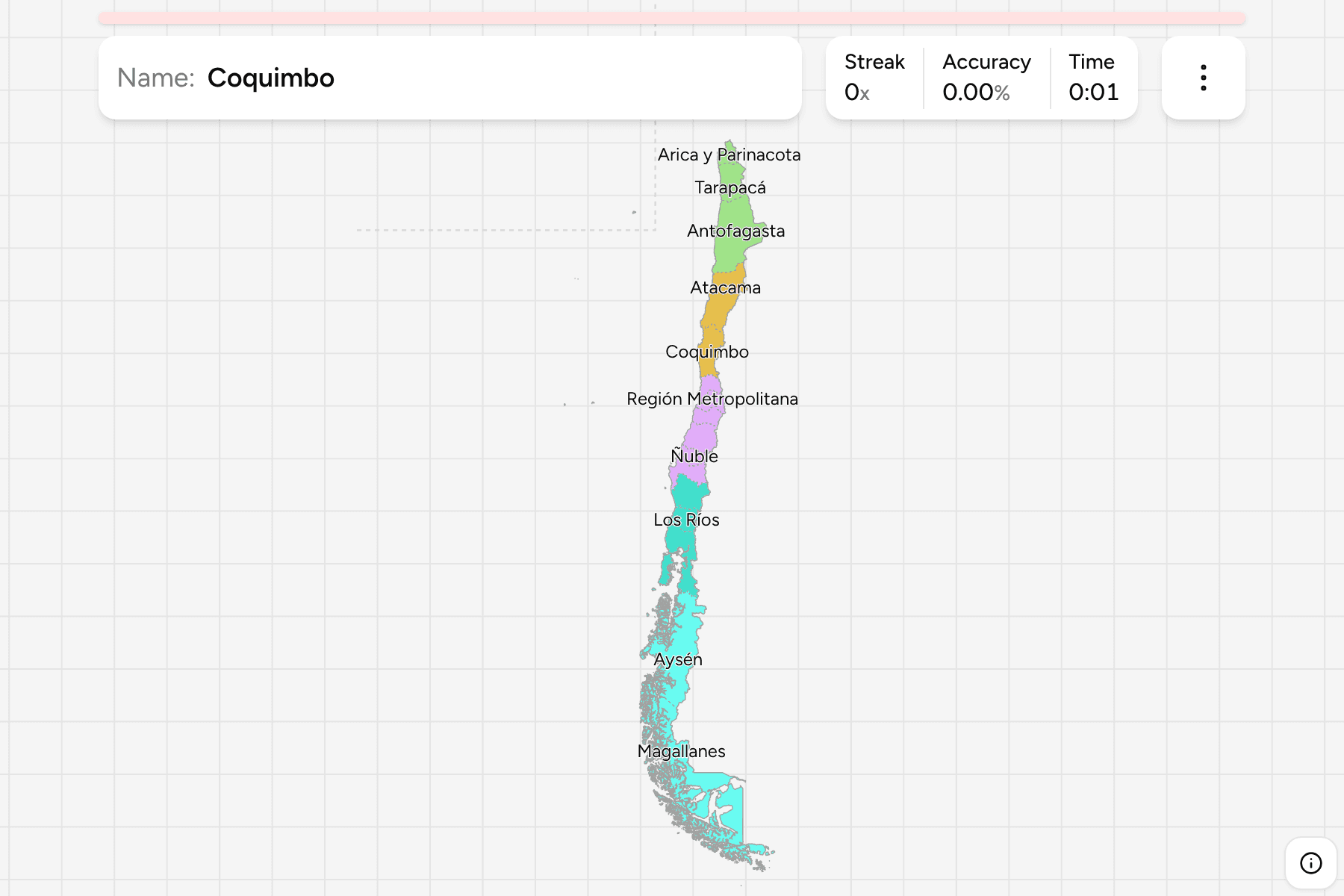
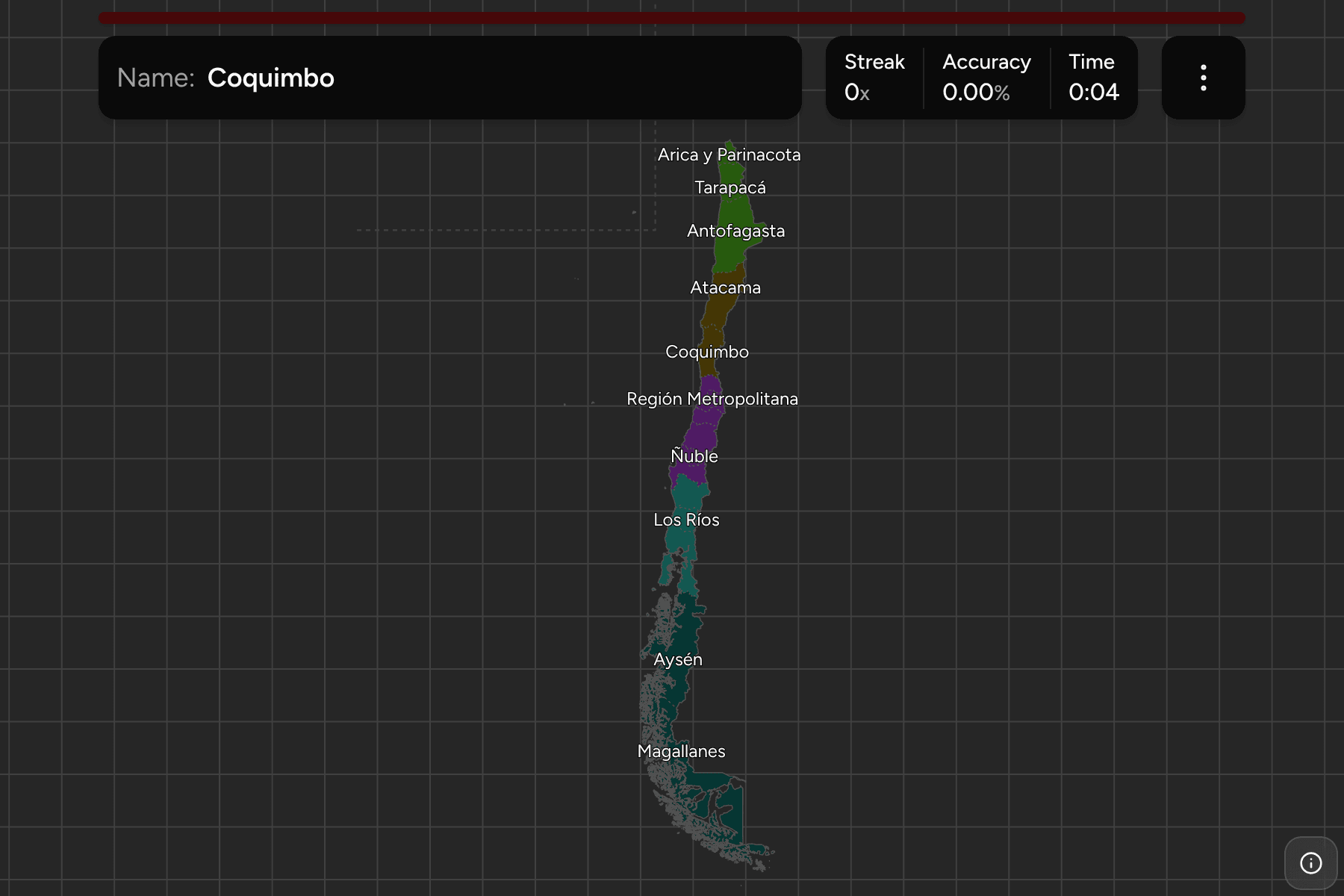
The map has the 16 regions in force since 2018, when Ñuble was split off the
Biobío, which is the change most older maps miss. Arica y Parinacota and Los
Ríos are from 2007, so a map from before that has 13.
Chile claims a sector of Antarctica as part of Magallanes, and owns Easter
Island, the Juan Fernández archipelago and the Desventuradas Islands, all of
which sit in Valparaíso. Only the last two are drawn where they really are. Easter
Island is 3,500 km out in the Pacific, and drawn there it would more than double
the width of the map, so it is moved into the empty sea off the north coast and
fenced off with a dashed line. Because the regions are the provinces dissolved,
the island is part of Valparaíso here and clicking the mainland answers for it.
The Antarctic claim is not drawn.
The zones above the regions have no government and are older than all of them:
the Norte Grande is the desert, the Norte Chico the semi-arid valleys
below it, the Zona Central holds most of the population and the capital, the
Zona Sur is the lakes and forest, and the Zona Austral is fjords, ice
fields and Patagonia.
How to place one
- Get the zone first. Five groups instead of 16, and the game lets you drill
them one at a time.
- Count from the north. The regions run in a line, so most of the work is
counting along it: Arica y Parinacota, Tarapacá and Antofagasta make up the
desert, and Atacama and Coquimbo follow before the capital.
- Use the capital as an anchor. The Región Metropolitana is the small
region in the middle, and Valparaíso is the one that reaches the coast to its
west.
- Mind the south. Los Lagos, Aysén and Magallanes are long and ragged, and
most of what separates them is fjord and island rather than a line.
Every region, by zone
- Norte Grande3 regions
- Tarapacá, Antofagasta, Arica y Parinacota
- Zona Central6 regions
- Región Metropolitana, Valparaíso, O'Higgins, Maule, Biobío, Ñuble
- Zona Austral2 regions
- Aysén, Magallanes
- Norte Chico2 regions
- Atacama, Coquimbo
- Zona Sur3 regions
- La Araucanía, Los Lagos, Los Ríos
Worked examples
Región MetropolitanaThe one around the capitalThe Región Metropolitana is one of the smallest regions and holds around forty
percent of the country's people. It is the one that is nearly landlocked,
between Valparaíso on the coast and O'Higgins to the south.
ÑubleThe newest oneÑuble was the Biobío's northern third until 2018, and keeps the cities of
Chillán and Chillán Viejo. A map older than that draws it as part of Biobío,
with no border between them.
MagallanesThe bottom of the mapMagallanes is the southernmost and, with its Antarctic claim, the largest
region, and holds Punta Arenas and Tierra del Fuego. It shares the island of
Tierra del Fuego with Argentina.
Frequently asked questions
How many regions does Chile have?
16, since Ñuble was created in September 2018. There were 15 from 2007 and 13 before that.
Why are Chilean regions called by numbers?
They were numbered from north to south when they were created in 1974, from I (Tarapacá) to XII (Magallanes), with the Región Metropolitana as RM. Later regions got the numbers XIV, XV and XVI, so the order is no longer strictly north to south.
Is Easter Island its own region?
No. It is a province of the Valparaíso region, although it has had a special territory status since 2007. In this game it is drawn off the north coast so the map stays a usable shape.
Where is the Chilean part of Antarctica?
Chile claims a sector of Antarctica as the Antártica Chilena province of Magallanes. The claim is not drawn in this game.
What are the Norte Grande and the Zona Sur?
The macrozones, the five parts of the country Chileans use to say where something is. They are not administrative divisions, and they are the groups this game is cut by.
The tier below this one is Chile Provinces, and the 16 answers
here are the 16 groups there, so it is the place to go once the regions come
easily. For another long country at this level, see
Argentina Provinces.
Sources