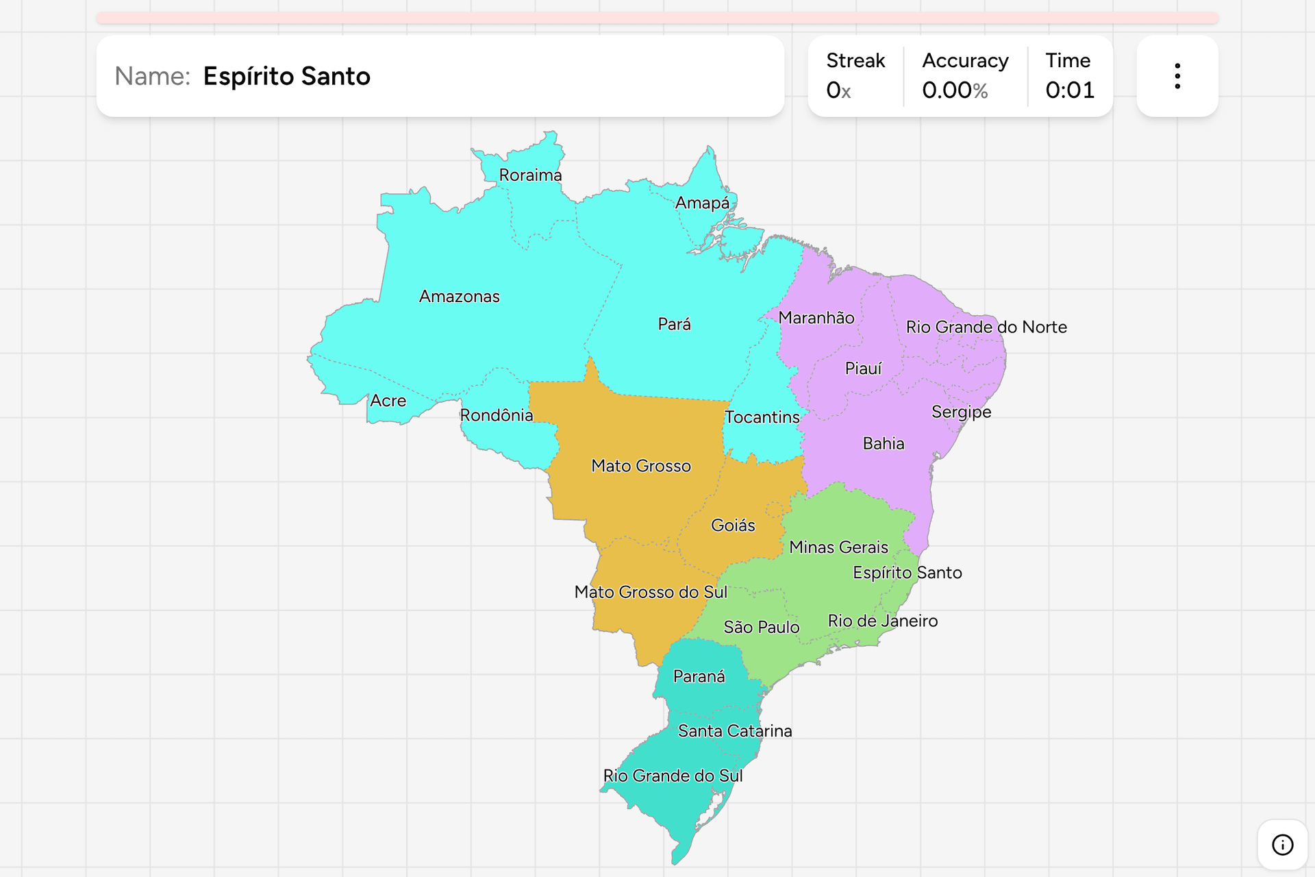
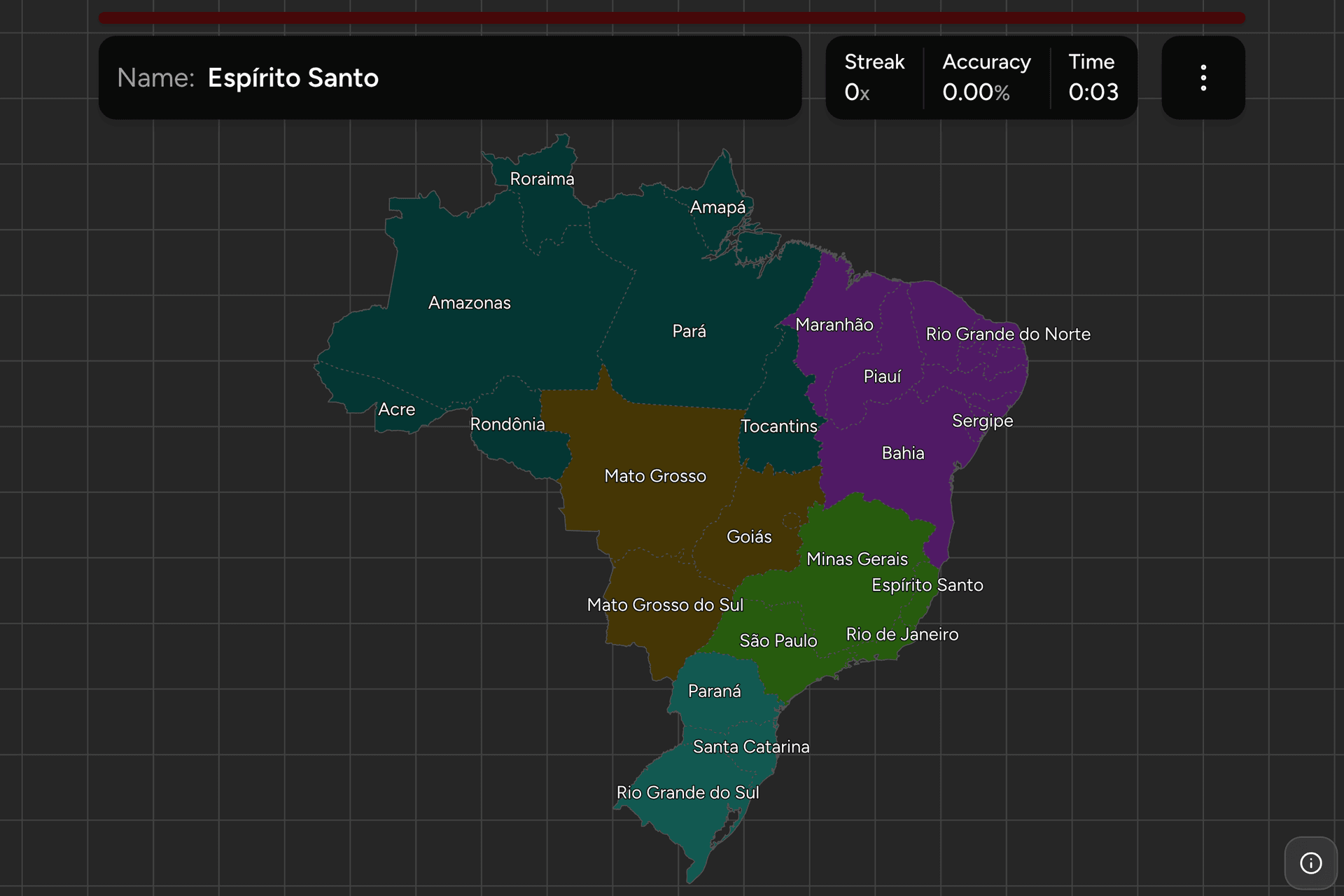
Brazil is a federation of 26 states and one federal district, and it fills
almost half of South America: from the Amazon mouth to the gaúcho pampas is
about four thousand kilometres, and the biggest state, Amazonas, is bigger than
Peru. The shapes are mostly big and blunt, which makes the map easier than
the count suggests once you know where the five regions sit. This page is the
whole set, and the game asks you to put each name where it belongs.
- The quiz
- Name to place, on the map
- Names
- Portuguese, as they are written
- In the game
- 27 federative units
What you are looking at
An estado is a member of the Brazilian federation, and each one elects its own
governor and legislature, runs its own police and courts, and collects its own
main sales tax. Twenty-six of them cover the country between them.
The twenty-seventh is not a state. Brasília was built in the interior in the
late 1950s and the Federal District was cut out of Goiás to hold it. It has the
status of a state in everything this quiz asks about (its own governor, its own
legislature, its own ISO code), but it cannot be divided into municipalities,
so Brazilians count 27 federative units and this game asks about all 27. It is
also the target everybody looks for first and the hardest one to hit: a small
patch of the plateau, wrapped almost entirely by Goiás, with a sliver of Minas
Gerais to the southeast.
Most of the northern map is recent by Brazilian standards. Acre was bought from
Bolivia in 1903 and became a state in 1962. Rondônia, Roraima and Amapá were
federal territories until 1988, and Tocantins was carved out of northern Goiás
in the same constitution, which makes it the youngest state on the map. Mato
Grosso do Sul split from Mato Grosso in 1977, and Rio de Janeiro absorbed the
old state of Guanabara, the city itself, in 1975.
Names to watch, because they sit close together: three states begin with Rio
Grande or Rio de, two with Mato Grosso, and two with Pará and Paraná, which
differ by a single letter and sit three thousand kilometres apart. Pará is the
huge one on the equator at the Amazon mouth. Paraná is the southern one that
borders Paraguay and São Paulo.
How to place one
- Anchor on the Amazon. Amazonas is the largest state on the map, the
whole northwest. Pará is the second largest, east of it and straddling the
river mouth. Acre is the small one tucked into the far western corner, and
the four northern edge states (Roraima, Amapá, Pará, Amazonas) are the ones
on the equator or above it.
- Then the middle. Mato Grosso is the big square one south of Amazonas and
Pará, and Goiás and Tocantins sit east of it, with Tocantins the long thin
one. Mato Grosso do Sul is below Mato Grosso on the Paraguay border, and
Rondônia is the small one against Bolivia in the west.
- Take the Southeast as a block. São Paulo, Rio de Janeiro, Minas Gerais
and Espírito Santo fit together: Minas Gerais is the big inland one, and the
other three are the coast in front of it, with Espírito Santo the narrow one
at the top and São Paulo the one that reaches inland on the west.
- Run down the Northeast bulge. Bahia is the big one in the middle, and
going up the coast from Sergipe it is Alagoas, Pernambuco, Paraíba and Rio
Grande do Norte, a row of narrow strips that make the corner. Ceará is the
next one around the top, then Piauí and Maranhão running inland.
- The South is three. Paraná at the top, Santa Catarina the small one in
the middle, and Rio Grande do Sul at the bottom, the one that pokes into
Uruguay and Argentina.
The mistakes are nearly all in the Northeast coastal strip, where five states
are each a few hundred kilometres across and look alike, and in Espírito Santo
against Rio de Janeiro. Alagoas and Sergipe are the two smallest on the
mainland coast after the Federal District, with Sergipe the smaller and the
more southern.
Every state, by region
- Southeast4 federative units
- São Paulo, Rio de Janeiro, Minas Gerais, Espírito Santo
- Northeast9 federative units
- Maranhão, Piauí, Ceará, Rio Grande do Norte, Paraíba, Pernambuco, Alagoas, Sergipe, Bahia
- North7 federative units
- Acre, Amapá, Amazonas, Pará, Rondônia, Roraima, Tocantins
- Center-West4 federative units
- Distrito Federal, Goiás, Mato Grosso, Mato Grosso do Sul
- South3 federative units
- Paraná, Rio Grande do Sul, Santa Catarina
These are the five macro-regions that the national statistics office defines and
every Brazilian schoolchild learns. They are a statistical grouping rather than a
level of government, but the names are in everyday use: a weather forecast, a
census and a football league all speak in them. Each group can be played on its
own from the start dialog, and the South is a three question drill while the
Northeast is a real one.
Worked examples
Distrito FederalThe one that is not a stateA small patch of the central plateau, and the smallest target here by a wide
margin. It was cut out of Goiás to hold the capital, Brasília, which was
planned from an empty field and inaugurated in 1960, and it is the only
federative unit that is a single city and its satellite towns. It has the same
standing as a state in everything this game asks.
TocantinsThe youngestThe long thin state down the middle of the country between the Amazon and the
plateau, created in 1988 from the northern half of Goiás. Its capital, Palmas,
was built from nothing in 1989, and it is the state people place too far east
or too far west, since it has no coast and no foreign border.
ParanáParaná, not ParáThe southern one, between São Paulo and Santa Catarina, with the Paraguayan
border at its western end and Iguaçu Falls where it meets Argentina. Pará is
the giant at the mouth of the Amazon, and the two names differ by one letter
and a good three thousand kilometres.
Rio Grande do SulThe one at the bottomThe southernmost state, wedged between Uruguay, Argentina and the Atlantic,
and the home of the gaúcho cattle culture. It is the only one with a long
frontier on both Uruguay and Argentina, and Porto Alegre sits on the lagoon
system that fills its eastern edge.
Frequently asked questions
How many states does Brazil have?
26, plus the Federal District, which holds the capital Brasília. The Federal District is not a state but has the same standing: its own governor, its own legislature and its own ISO code. Brazilians therefore count 27 federative units, and this game asks about all 27.
What are the five regions of Brazil?
The North, the Northeast, the Center-West, the Southeast and the South. They are defined by the national statistics office and are a statistical grouping rather than a level of government, but they are the words a weather forecast and a census use.
Which is the largest state in Brazil?
Amazonas, in the northwest, which is larger than most countries. Pará is second by area. São Paulo has by far the most people, roughly a fifth of the country, and the Federal District is the smallest unit by area.
What is the newest state in Brazil?
Tocantins, created in 1988 out of the northern half of Goiás. Rondônia, Roraima and Amapá were federal territories until the same constitution made them states, and Acre became a state in 1962.
How can you tell which Brazilian state a photo is in?
Landscape first: rainforest and wide rivers mean the North, dry scrub and sugar cane the Northeast, flat soy and cattle country the Center-West, hills and coffee the Southeast, and araucaria pines and pampas the South. After that, the area code on a shopfront is the best tell, since every code covers one state or part of one, and the number plate carries no state name any more now that Brazil has adopted a Mercosur style plate.
Brazil has a second map on the site, Brazil Dialing Codes,
which asks the same country at the area code level. The neighbours are Argentina
Provinces and Mexico Dialing
Codes, and maps in exactly this shape elsewhere:
Germany States, Nigeria States and India
States.
Sources