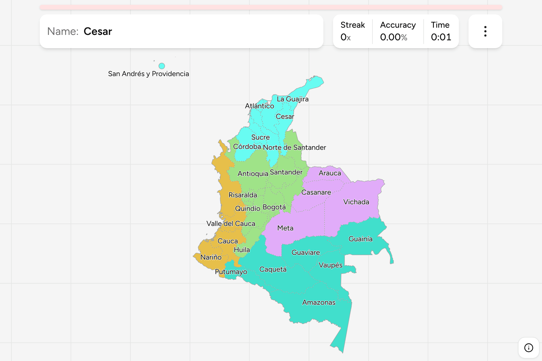
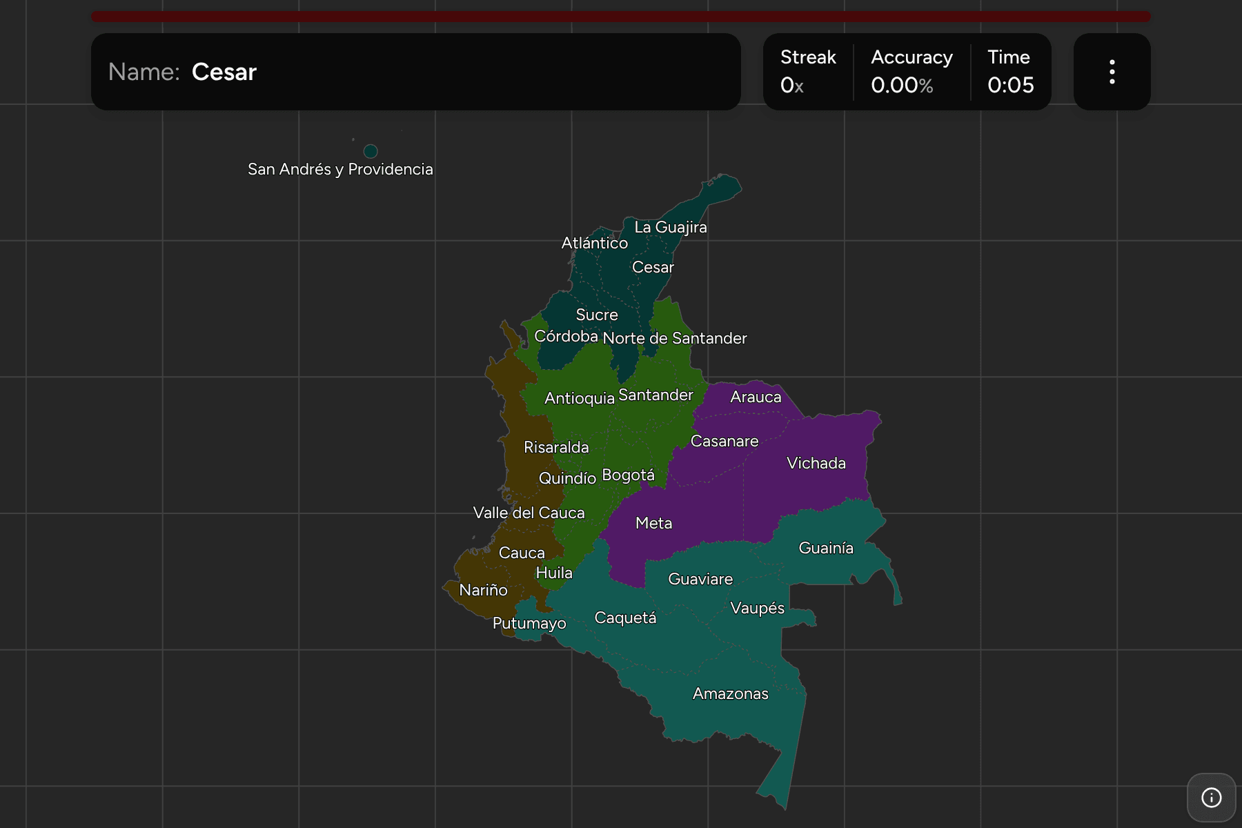
Colombia is the only South American country with coasts on both the Caribbean
and the Pacific, and it uses both: the Andes split into three ranges just inside
the border, and nearly everything a round shows you is a question of which side
of those ranges you are on. The department is the unit that fixes it. Each is
run by an elected governor and assembly, and almost every Colombian can place
the dozen around the capital and loses the rest somewhere in the eastern plains.
- The quiz
- Name to place, on the map
- Grouped by
- Natural region: Andina, Caribe, Pacífica, Orinoquía, Amazonía
- In the game
- 33 departments
What you are looking at
The map has the 32 departments and Bogotá, which is a capital district rather
than part of Cundinamarca and sits at the same level as the departments. The
newest departments are the eastern and southern ones. Arauca, Casanare,
Putumayo and Caquetá were intendencies, and Amazonas, Guainía, Guaviare, Vaupés
and Vichada commissaries, run from the capital until the 1991 constitution made
them departments. That is why they are large, thinly settled and drawn with the
straightest lines.
San Andrés y Providencia is an archipelago about 700 km north-west of the
mainland, closer to Nicaragua than to Colombia. It is drawn where it is, at the
left edge of the map, and it is small enough that its tap area is widened
beyond its shape.
The groups above the departments have no government and are the ones Colombians
use to say where something is. The Andina region is the three cordilleras and
the valleys between them, and holds the capital and most of the people. The
Caribe is the north coast and its plains, and takes the islands too. The
Pacífica is the wet coast and the south-western highlands that face it. The
Orinoquía is the eastern plains, and the Amazonía is the forest that
fills the south-east, down to the point of land at Leticia on the Amazon.
How to place one
- Get the region first. Five groups instead of 33, and the game lets you
drill them one at a time.
- Start from Bogotá. The small district sits in the middle of Cundinamarca,
which wraps it on three sides. Boyacá is the long one to the north, Tolima and
Huila the two down the Magdalena valley to the west and south.
- Learn the coffee axis as a block. Caldas, Risaralda and Quindío are three
of the smallest departments, side by side between Antioquia and Valle del
Cauca.
- Everything big and east is a plain or a forest. Meta, Vichada, Guainía,
Vaupés, Caquetá and Amazonas take up more than half the area and fewer than
one in twenty of the people. Work from the Orinoco border south.
Every department, by region
- Andina11 departments
- Antioquia, Boyacá, Caldas, Cundinamarca, Bogotá, Huila, Norte de Santander, Quindío, Risaralda, Santander, Tolima
- Orinoquía4 departments
- Arauca, Casanare, Meta, Vichada
- Caribe8 departments
- Atlántico, Bolívar, Cesar, Córdoba, La Guajira, Magdalena, San Andrés y Providencia, Sucre
- Pacífica4 departments
- Cauca, Chocó, Nariño, Valle del Cauca
- Amazonía6 departments
- Amazonas, Caquetá, Guainía, Guaviare, Putumayo, Vaupés
Worked examples
BogotáThe capital, inside another departmentBogotá is a district of its own, with a government separate from
Cundinamarca's, and the department is drawn around it. On the map it is the
small region you can find by the larger one that surrounds it, and it is the
one to go to first when you are lost.
San Andrés y ProvidenciaThe one that is not on the mainlandThe archipelago of San Andrés, Providencia and Santa Catalina is Colombian
territory off the Nicaraguan coast. It is the only department you cannot reach
by land, and the only one where English is an official language beside Spanish.
AmazonasThe one with the tailAmazonas is the largest department, and it ends in the trapezoid of land around
Leticia, the country's only port on the Amazon, wedged between Peru and Brazil.
The tail at the bottom of the map is the part to look for.
Frequently asked questions
How many departments does Colombia have?
32, plus Bogotá as a capital district, which is why quizzes count 33. Nine of them (Amazonas, Arauca, Casanare, Guainía, Guaviare, Putumayo, Vaupés, Vichada and San Andrés y Providencia) were territories until 1991, so a map from before then has far fewer.
Is Bogotá part of Cundinamarca?
No. It is the capital district and has been separate since 1991, although it is surrounded by Cundinamarca and the department's own capital is Bogotá too. Here it is its own answer.
Why are the eastern departments so large?
They were national territories, run from the capital rather than by a local government, until 1991, and they cover the Orinoco plains and the Amazon forest, where few people live. Their borders were drawn long before anyone settled them.
What are the Andina and Caribe regions?
The natural regions Colombians use to say where something is. They are not administrative divisions, and they are the groups this game is cut by. The islands of San Andrés y Providencia are counted with the Caribe here, as they sit in the Caribbean Sea.
What about the municipalities?
Colombia has about 1,100 of them, which is more than a quiz of this kind can carry, so the department is the tier this game covers.
For another long South American country at this level, see
Argentina Provinces, or for a country cut by one mountain
range, Chile Regions.
Sources
- Natural Earth, Admin 1: States, Provinces, the 33 departments and the capital district, public domain
- Departments of Colombia, the 32 departments, the capital district, and the 1991 changes
- Natural regions of Colombia, the Andean, Caribbean, Pacific, Orinoquía and Amazon regions, the groups this game uses