Afghanistan is a country the Hindu Kush cuts in two: the high ranges run
south west from the Pamirs across the middle, the Kabul basin sits in the east,
and the plains of the north and the deserts of the south lie either side. The
province is the unit that tells you which of those a place is in, and there are
34 of them.
- The quiz
- Name to place, on the map
- Grouped by
- Region: the eight the UN and Afghan statistics use
- In the game
- 34 provinces
What you are looking at
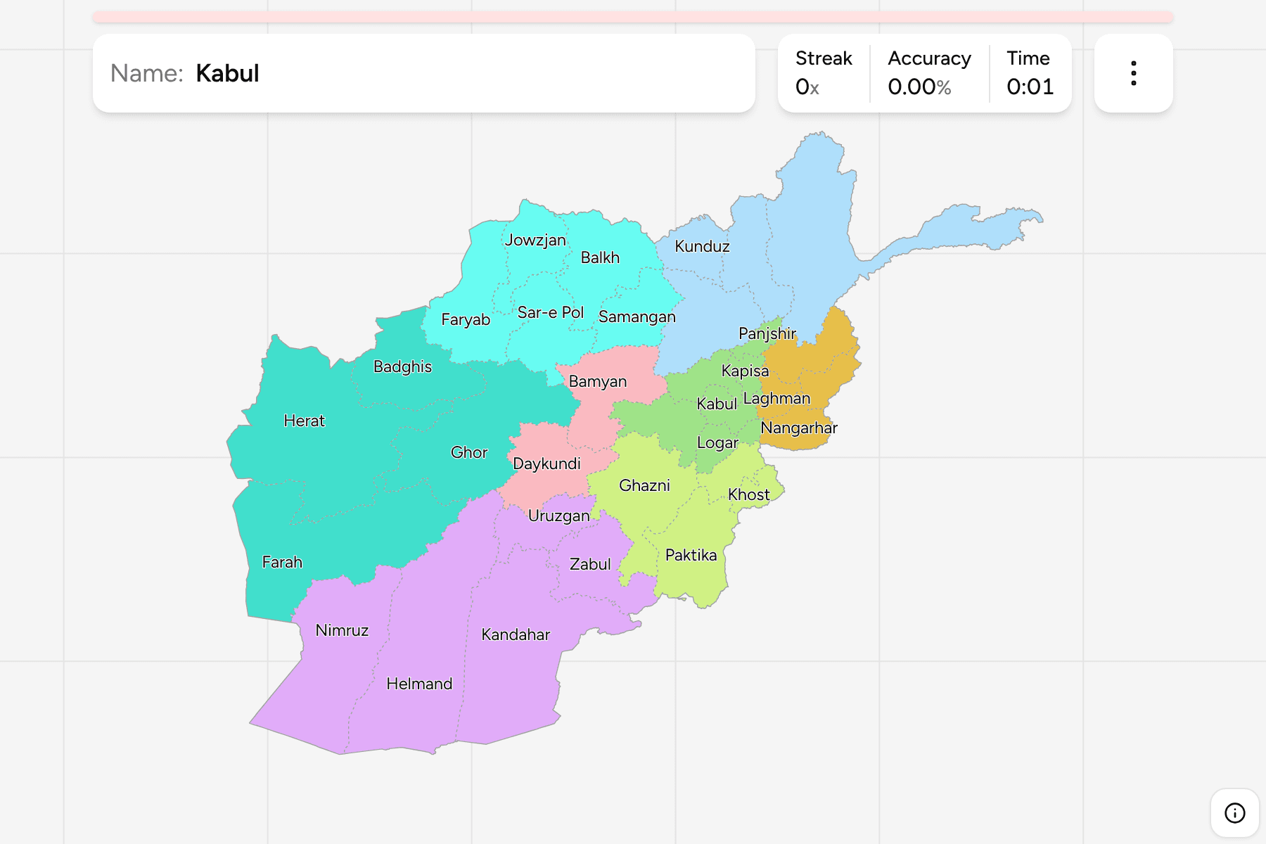
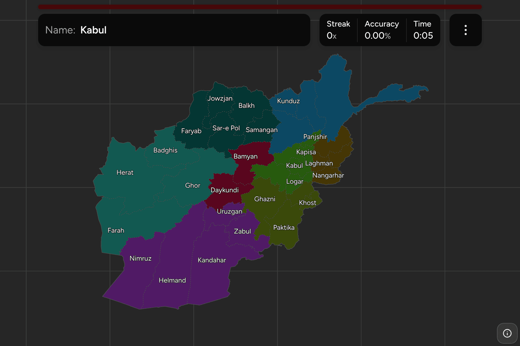
The provinces (wilayat) of Afghanistan, the first tier of the country. Most are
named for their capital city, so Kandahar, Herat, Balkh (whose city is
Mazar-i-Sharif), Kunduz and Ghazni are the same word twice. Two are recent:
Daykundi was cut out of Uruzgan in 2004, and Panjshir out of Parwan in 2004
too, which is why maps from before then show 32.
Some names have more than one romanisation. The quiz uses Maidan Wardak for the
province that older maps call Wardak, and Sar-e Pol, Kunar and Paktia as the
common English forms.
The groups are not an administrative tier. Afghanistan has no level between the
province and the country, so the quiz uses the eight regions Afghan statistics
and the UN agree on: Central, Central Highlands, East, North, North East, South,
South East and West. They are a way to drill the map a piece at a time. The
provinces are the Afghanistan Districts grouped, so
the borders of the two maps match exactly.
The map is lopsided. Helmand, Kandahar and Farah are huge and mostly desert,
Nuristan, Panjshir and Kapisa are small mountain provinces in the east, and
Badakhshan reaches out along the Wakhan Corridor to the Chinese border.
How to place one
- Start with Kabul. It is a small province on the eastern side, with
Parwan and Panjshir to the north and Logar and Wardak to the south.
- Follow the Hindu Kush. Bamyan and Daykundi are the Central Highlands, in
the middle of the country, and the roads run round them rather than over.
- Read the south as one block. Helmand, Kandahar, Nimruz, Uruzgan and Zabul
fill the south, with Farah and Herat to the west of them.
- Find the north by the Amu Darya. Jowzjan, Balkh, Kunduz and Takhar sit
along the river on the Uzbek and Tajik border, Badakhshan above them.
Every province, by region
- Central6 provinces
- Kabul, Kapisa, Logar, Panjshir, Parwan, Maidan Wardak
- South5 provinces
- Helmand, Kandahar, Nimruz, Uruzgan, Zabul
- North5 provinces
- Balkh, Faryab, Jowzjan, Samangan, Sar-e Pol
- East4 provinces
- Kunar, Laghman, Nangarhar, Nuristan
- West4 provinces
- Badghis, Farah, Ghor, Herat
- Central Highlands2 provinces
- Bamyan, Daykundi
- North East4 provinces
- Badakhshan, Baghlan, Kunduz, Takhar
- South East4 provinces
- Ghazni, Khost, Paktia, Paktika
Worked examples
HelmandThe biggest of themHelmand is the largest of the southern provinces, a desert basin watered by
the river that gives it its name, and the centre of the country's poppy and
wheat growing. It borders Pakistan in the south.
PanjshirThe small one in the mountainsPanjshir is one of the smallest provinces, a single long valley in the
Hindu Kush north of Kabul. It was made a province of its own in 2004, out of
Parwan.
Frequently asked questions
How many provinces does Afghanistan have?
34, grouped here into eight regions.
Why are the groups not an administrative tier?
Afghanistan goes straight from the province to the country. The eight regions are the cut that Afghan statistics and the UN use, and the quiz uses them to let you drill one part at a time.
What is below the province?
The districts. They are their own quiz.
The tier below this one is Afghanistan Districts. For
another country at this level, see Nepal Provinces.
Sources