Saudi Arabia is the biggest country on the Arabian Peninsula and its regions are
cut to match: a few enormous desert blocks in the middle and the north, and a
handful of small, crowded ones along the Red Sea mountains in the south-west.
They are the tier above the governorates, and the right first step before the
governorates inside them.
- The quiz
- Name to place, on the map
- Grouped by
- Part of the country: Central, North, West, South and East
- In the game
- 13 regions
What you are looking at
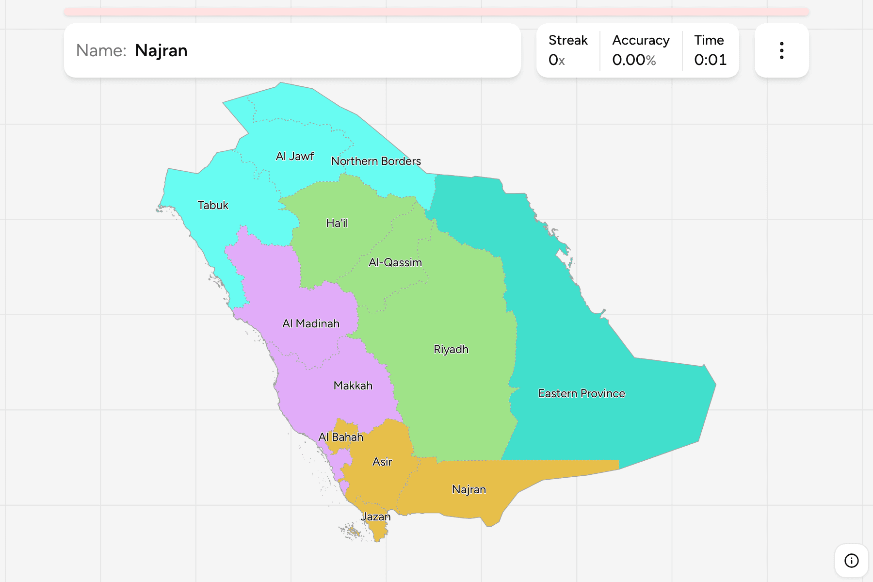
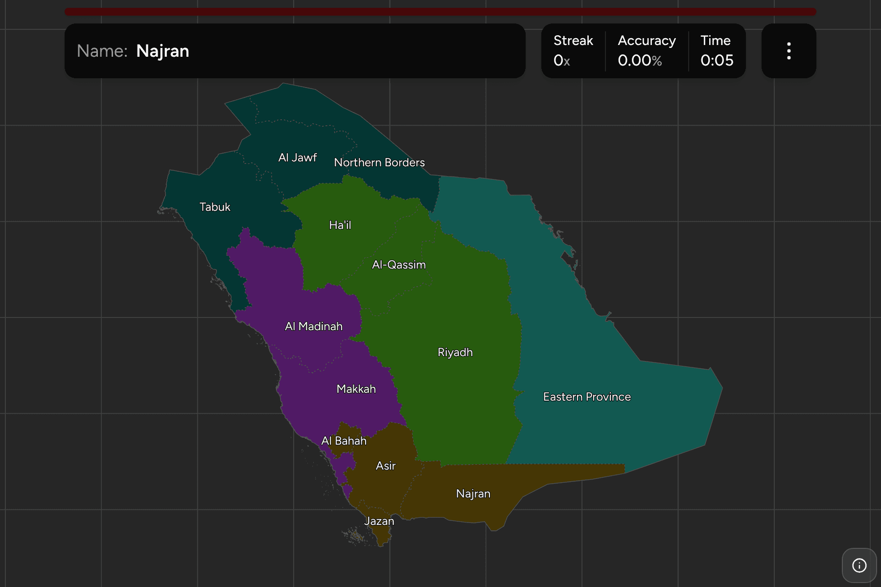
The manatiq, the first level of government. The Eastern Province is the
largest by a wide margin and holds the Gulf coast and most of the Empty
Quarter. Riyadh is the middle of the country and surrounds the capital. Makkah
and Al Madinah hold the two holy cities and the Red Sea coast between them.
The regions are the governorates of
Saudi Arabia Governorates dissolved, so the
borders of the two maps match exactly.
The groups are the five parts the country is usually taught in: the central
Najd, the north on the Jordanian and Iraqi borders, the Red Sea west, the
south, and the Eastern Province on its own.
How to place one
- Start with Riyadh. It sits in the middle of the peninsula, and the
central regions are placed by which side of it they are on.
- Hug the Red Sea. Tabuk, Al Madinah, Makkah, Al Bahah, Asir and Jazan
follow the western coast from north to south.
- Learn the small southern ones. Al Bahah, Asir, Jazan and Najran are
packed together at the Yemen border, and are the ones people mix up.
- Finish on the borders. Northern Borders and Al Jawf run along Iraq and
Jordan, with Ha'il and Al-Qassim below them.
Every region, by part of the country
- Central3 regions
- Al-Qassim, Ha'il, Riyadh
- West2 regions
- Al Madinah, Makkah
- North3 regions
- Al Jawf, Northern Borders, Tabuk
- South4 regions
- Al Bahah, Asir, Jazan, Najran
- East1 region
- Eastern Province
Worked examples
RiyadhThe capitalRiyadh is the region around the capital, in the middle of the peninsula. Al-Qassim is
to the north, the Eastern Province to the east, and Makkah and Najran to the
west and south.
Eastern ProvinceThe biggest of themThe Eastern Province is the largest region, running from the Gulf coast and
the Bahrain causeway across the Empty Quarter to the borders of Oman and the
United Arab Emirates.
Al BahahThe small one in the south-westAl Bahah is the smallest region, a strip of mountains and coastal plain
between Makkah and Asir. It is easy to miss because the regions around it are
so much larger.
Frequently asked questions
How many regions does Saudi Arabia have?
13. Al Bahah, Al Jawf, Al Madinah, Al-Qassim, Asir, the Eastern Province, Ha'il, Jazan, Makkah, Najran, the Northern Borders, Riyadh and Tabuk.
What are the groups in this quiz?
Five parts of the country: Central, North, West, South and East. They are a teaching convention rather than an administrative level, and the Eastern Province is a part of its own.
Why do the regions have different spellings elsewhere?
Arabic names have no single English spelling. The quiz keeps the transliteration of its boundary data, with Ha'il, Asir and the Eastern Province written the way most maps print them.
The tier below this one is Saudi Arabia Governorates.
For another Asian country at this level, see Jordan Governorates.
Sources