The district is the second tier of Sri Lanka, between the nine provinces and the
divisional secretariats, and the unit most Sri Lankans give when they say where
they are from. There are 25 of them, from the three crowded districts of the
south west coast to the large, empty ones of the northern plains.
- The quiz
- Name to place, on the map
- Grouped by
- Province: the nine of the country
- In the game
- 25 districts
What you are looking at
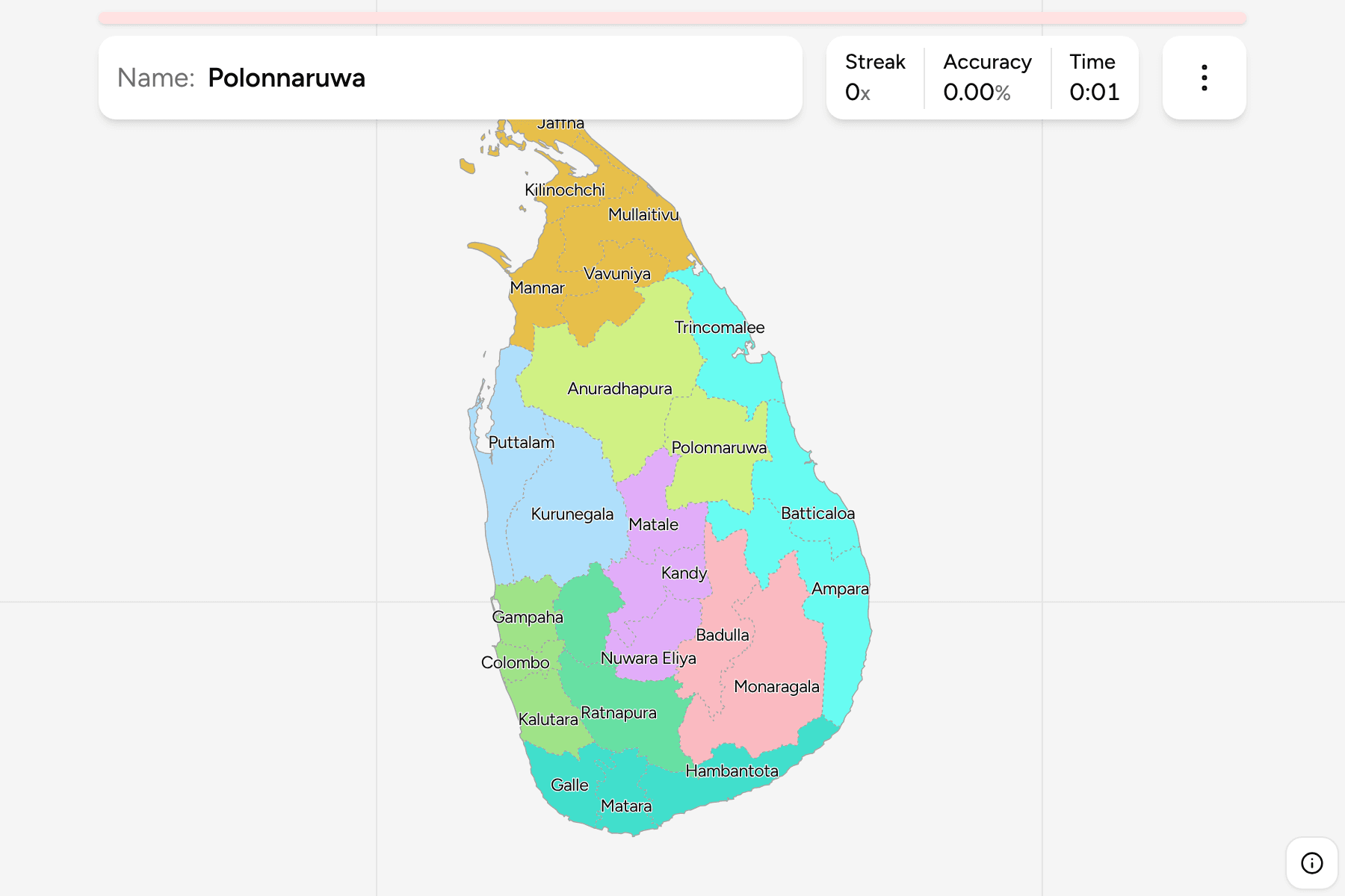
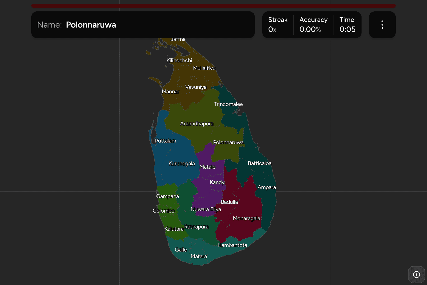
The districts of Sri Lanka. Most are named for their main town, so the name of a
town is usually the name of a district too, and several share it with the
province they sit in or a city that is not the capital of its own district.
The districts are very uneven. Colombo, Gampaha and Kalutara are small and
packed along the south west coast, and Colombo is small enough to need a tap area
on the map, so zooming in is the way to reach it. At the other extreme,
Anuradhapura, Ampara and Monaragala are each far larger than the districts of the
wet zone.
The groups are the provinces, so the game lets you drill them one at a time.
Each province answers under the same name in
Sri Lanka Provinces.
How to place one
- Pick one province and learn it. North Central, North Western, Sabaragamuwa
and Uva have only two districts each and are the quickest to finish; Northern
has five.
- Start with the north. The five Northern districts are the ones that most
players lose, because the Jaffna peninsula and the islands hang off the top of
the map.
- Follow the coast. The districts run around the island, from Jaffna down
the east through Trincomalee, Batticaloa and Ampara, then Hambantota, Matara
and Galle in the south, and back up the west to Colombo and Puttalam.
- Leave the middle for last. Kandy, Matale and Nuwara Eliya fill the
highlands, and the inland districts of Badulla and Ratnapura wrap the edges.
Every district, by province
- Western3 districts
- Colombo, Gampaha, Kalutara
- Central3 districts
- Kandy, Matale, Nuwara Eliya
- Eastern3 districts
- Ampara, Batticaloa, Trincomalee
- Northern5 districts
- Jaffna, Kilinochchi, Mannar, Mullaitivu, Vavuniya
- Southern3 districts
- Galle, Hambantota, Matara
- Uva2 districts
- Badulla, Monaragala
- North Western2 districts
- Kurunegala, Puttalam
- North Central2 districts
- Anuradhapura, Polonnaruwa
- Sabaragamuwa2 districts
- Kegalle, Ratnapura
Worked examples
ColomboThe small one with the capitalColombo is the smallest district on the island, and holds the commercial
capital and the port. The official capital, Sri Jayawardenepura Kotte, is in the
same district a few kilometres east of the city.
Nuwara EliyaThe tea countryNuwara Eliya sits in the highlands of the Central Province and is the coolest
part of the island. It holds Sri Lanka's highest mountain, Pidurutalagala, and
the tea estates around it.
MonaragalaThe big one in the south eastMonaragala is the largest district in Uva Province by a wide margin, in the dry
south east, and is mostly forest and scrub with few large towns.
Frequently asked questions
How many districts does Sri Lanka have?
25, spread over the nine provinces.
Which province is each district in?
The quiz groups them by province, so you can drill one province at a time. Each province is its own quiz as well.
Why do some districts look so large?
The map is drawn on the land the district administers, and the dry-zone districts of the north and east are large and thinly populated, while the districts of the wet south west are small and crowded.
The tier above this one is Sri Lanka Provinces. For
another country at this level, see Bangladesh Districts.
Sources