Under the seven provinces of Nepal sit 77 districts, from Bhaktapur, which fits
inside the Kathmandu valley, to Dolpa, which is bigger than some countries. This
is the full list, grouped by the province each one belongs to.
- The quiz
- Name to place, on the map
- Grouped by
- Province: the seven provinces of the 2015 constitution
- In the game
- 77 districts
What you are looking at
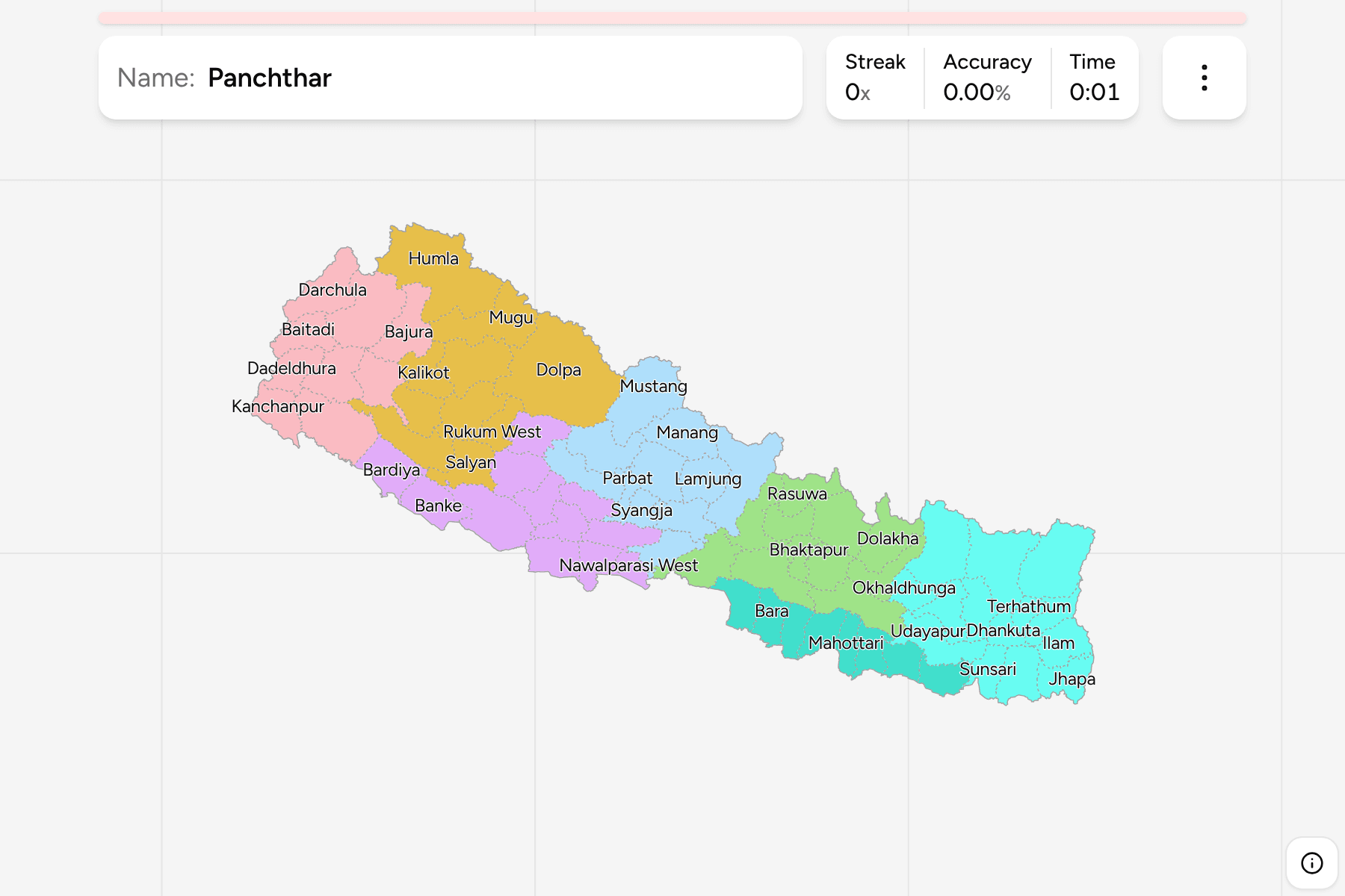
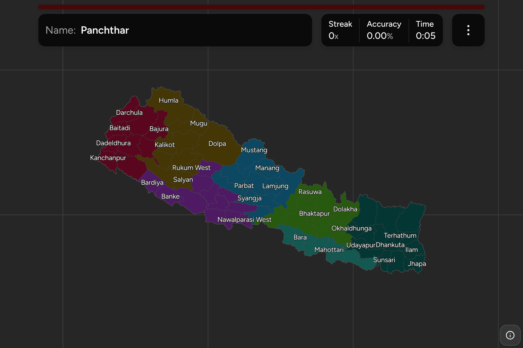
The districts (jilla) of Nepal, the second tier of the country. There are 77 of
them since 2017, when the old 75 became 77 by splitting Nawalparasi and Rukum
each in two. Both splits cross a provincial border, so Nawalparasi East is in
Gandaki and Nawalparasi West in Lumbini, and Rukum East is in Lumbini and Rukum
West in Karnali. A map older than that has one district where this one has two.
The map is uneven in the way the country is. The Terai along the southern border
and the valleys of the middle are cut fine, and the mountain districts of the
north are enormous: Dolpa and Mustang are the largest answers by a wide margin.
The smallest cluster in and around the Kathmandu valley, where Bhaktapur,
Lalitpur and Kathmandu are small enough to need tap areas.
The groups are the provinces, so the game lets you drill them one at a time.
Each province answers under the same name in Nepal Provinces.
How to place one
- Pick one province and learn it. Madhesh, with eight, is the shortest, and
Koshi, with fourteen, is the longest.
- Start from the valley. Kathmandu, Lalitpur and Bhaktapur sit together,
with Nuwakot, Dhading and Kavrepalanchok around them.
- Follow the southern strip. The Terai districts line up along the Indian
border, from Jhapa in the east to Kanchanpur in the far west.
- Treat the north as the empty half. Its districts are large, so they are
the quickest to place.
Every district, by province
- Bagmati13 districts
- Bhaktapur, Chitawan, Dhading, Dolakha, Kathmandu, Kavrepalanchok, Lalitpur, Makwanpur, Nuwakot, Ramechhap, Rasuwa, Sindhuli, Sindhupalchok
- Lumbini12 districts
- Arghakhanchi, Banke, Bardiya, Dang, Gulmi, Kapilbastu, Nawalparasi West, Palpa, Pyuthan, Rolpa, Rukum East, Rupandehi
- Koshi14 districts
- Bhojpur, Dhankuta, Ilam, Jhapa, Khotang, Morang, Okhaldhunga, Panchthar, Sankhuwasabha, Solukhumbu, Sunsari, Taplejung, Terhathum, Udayapur
- Karnali10 districts
- Dailekh, Dolpa, Humla, Jajarkot, Jumla, Kalikot, Mugu, Rukum West, Salyan, Surkhet
- Madhesh8 districts
- Bara, Dhanusa, Mahottari, Parsa, Rautahat, Saptari, Sarlahi, Siraha
- Sudurpashchim9 districts
- Achham, Baitadi, Bajhang, Bajura, Dadeldhura, Darchula, Doti, Kailali, Kanchanpur
- Gandaki11 districts
- Baglung, Gorkha, Kaski, Lamjung, Manang, Mustang, Myagdi, Nawalparasi East, Parbat, Syangja, Tanahu
Worked examples
DolpaThe biggest of themDolpa is the largest district, a high and thinly settled block of mountain in
Karnali on the Tibetan border.
BhaktapurThe smallest of themBhaktapur is the smallest district, in the Kathmandu valley between Kathmandu
and Kavrepalanchok. It needs a tap area on the map.
Nawalparasi EastHalf of a districtNawalparasi was split in 2015 and the halves went to different provinces:
Nawalparasi East to Gandaki and Nawalparasi West to Lumbini. Rukum is split the
same way.
Frequently asked questions
How many districts does Nepal have?
77, since Nawalparasi and Rukum were each split in two under the 2015 constitution.
What is below the district?
Local governments, which number in the hundreds and are not in the game.
The tier above this one is Nepal Provinces. For another
country at this level, see Bangladesh Districts.
Sources