Bhutan is a small Himalayan kingdom between Tibet to the north and the Indian
states of Assam, West Bengal and Sikkim to the south, and its map runs from
subtropical plains to peaks above 7,000 metres in a few days' drive. Its 20
districts (dzongkhags) cover the country without a gap, and they are the unit
that the national census, the road network and the festival calendar are all
organised around.
- The quiz
- Name to place, on the map
- Grouped by
- The West, the Central valleys, the South West and the East
- In the game
- 20 districts
What you are looking at
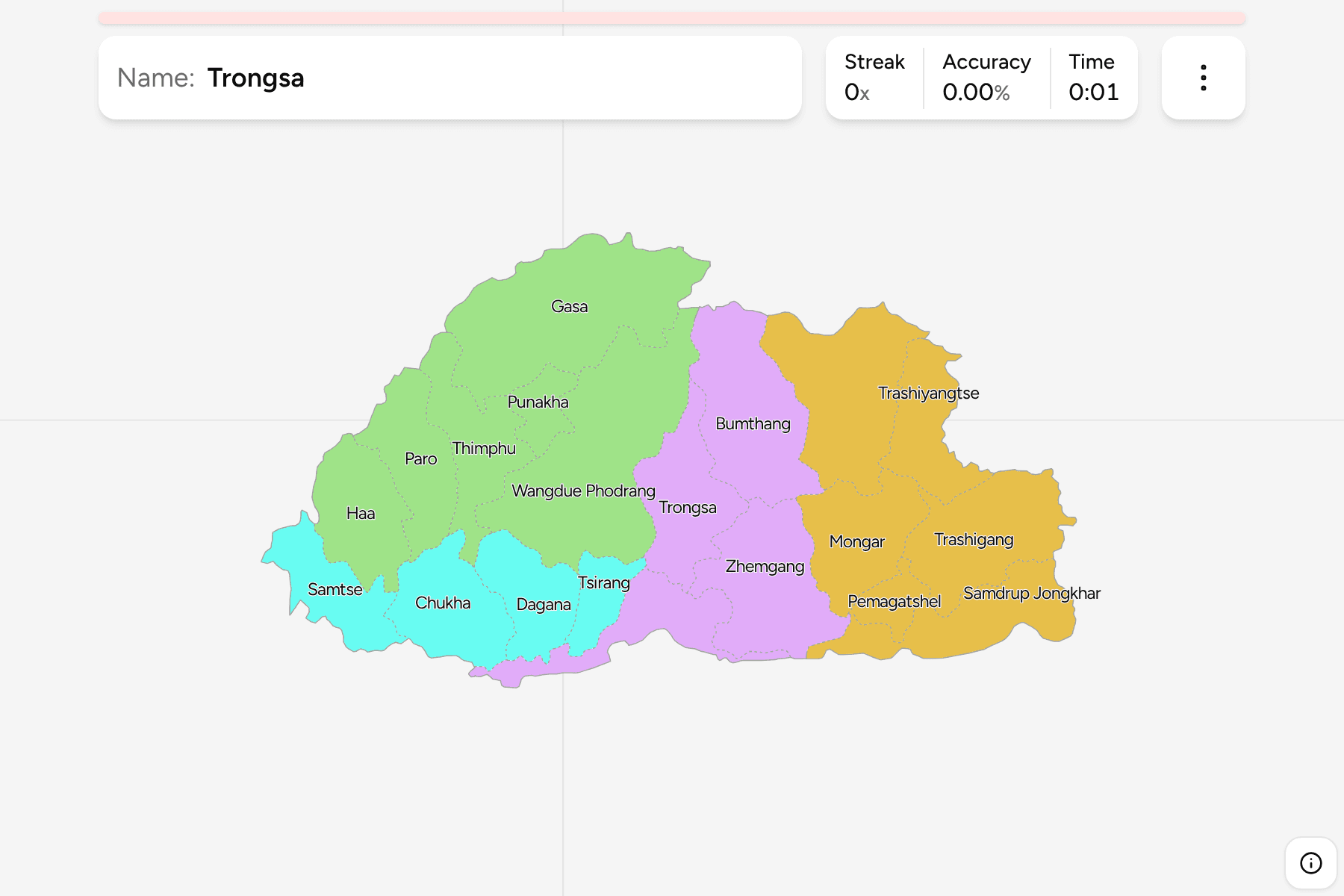
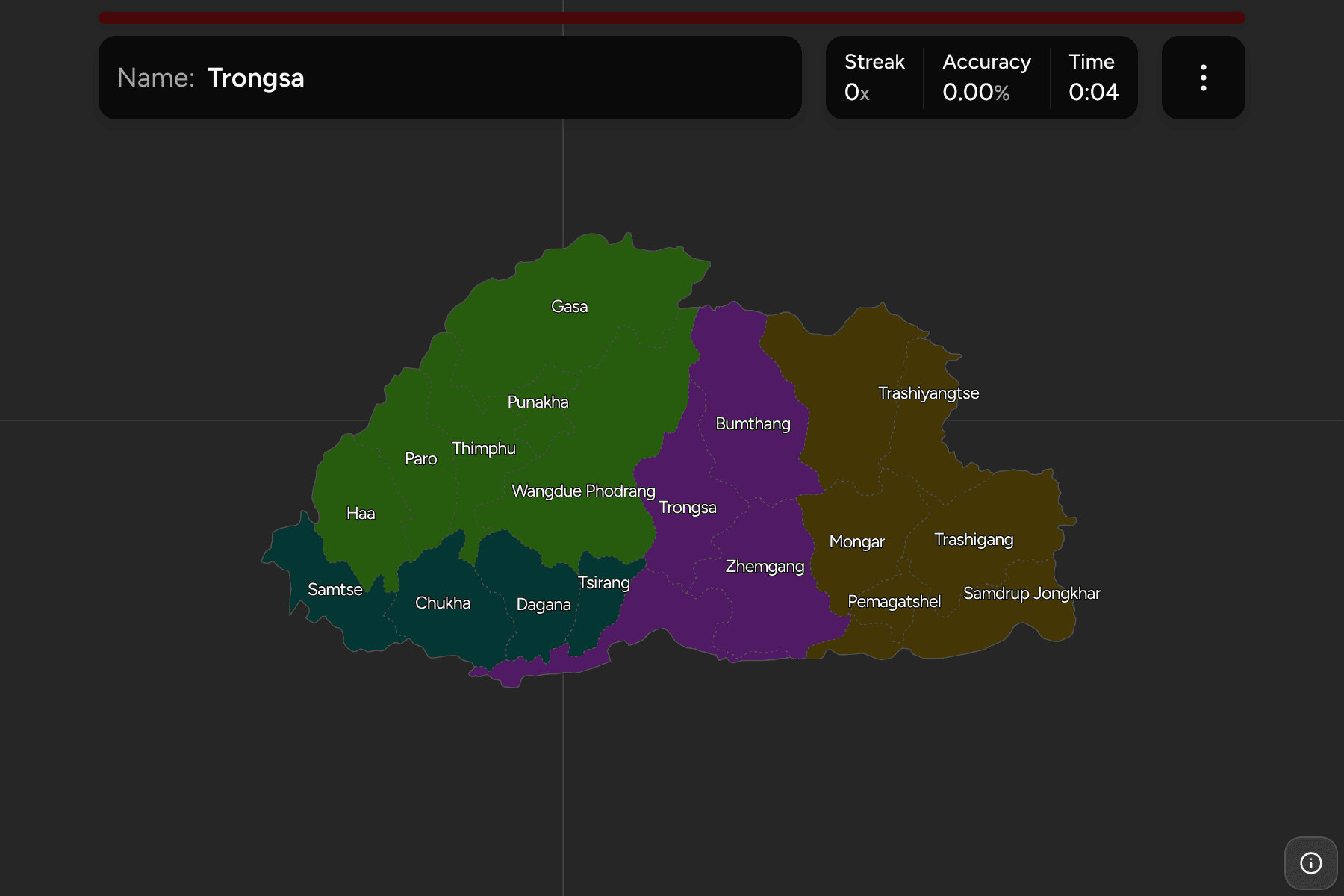
The 20 districts of today, named in their usual English spelling. Thimphu, the
capital, sits in the west beside Paro, which has the country's only
international airport. The largest districts are in the thinly populated
north and centre, while the smallest are the ones packed into the western
valleys and along the southern edge, which is what makes the map harder than
the count suggests.
The groups are not an official classification. They are the four parts of the
country it is usually described in, and a way to learn the map a piece at a
time: the West around Thimphu and Paro, the South West on the Indian border,
the Central valleys of Bumthang and Trongsa, and the East.
How to place one
- Start in the west. Haa and Paro lie against the Chinese border, with
Thimphu to the east of them and Punakha and Gasa further along the same
line of valleys.
- Follow the Indian border. Samtse, Chukha, Dagana, Tsirang, Sarpang and
Samdrup Jongkhar run along the south.
- Find the heart. Trongsa, Bumthang and Zhemgang are the central
districts, and Trongsa is the one that links east and west.
- Fill in the east last. Mongar, Lhuntse, Trashigang, Trashiyangtse and
Pemagatshel are the five eastern districts above Samdrup Jongkhar.
Every district, by group
- West6 districts
- Gasa, Haa, Paro, Punakha, Thimphu, Wangdue Phodrang
- Central4 districts
- Bumthang, Sarpang, Trongsa, Zhemgang
- South West4 districts
- Chukha, Dagana, Samtse, Tsirang
- East6 districts
- Lhuntse, Mongar, Pemagatshel, Samdrup Jongkhar, Trashigang, Trashiyangtse
Worked examples
ThimphuThe capitalThimphu is a central western district, with Paro to its west and Punakha to
its east, and it holds the capital and the largest share of the population.
Wangdue PhodrangThe largestWangdue Phodrang is the largest district, a long north to south block in the
middle of the country that reaches from the high Gasa border down towards the
southern foothills.
Samdrup JongkharThe eastern cornerSamdrup Jongkhar fills the southeast corner, running along the Indian border
below Pemagatshel and Trashigang.
Frequently asked questions
How many districts does Bhutan have?
20, and all of them cover land: the game has no territory outside them.
Does Bhutan group its districts into regions?
Not in a way this game relies on. The groups here are the four parts the country is commonly described in, and they will not match every list you find.
Why are two districts spelled differently elsewhere?
Thimphu is sometimes written Thimpu and Trashiyangtse Yangtse. The game uses Thimphu and Trashiyangtse.
Sources