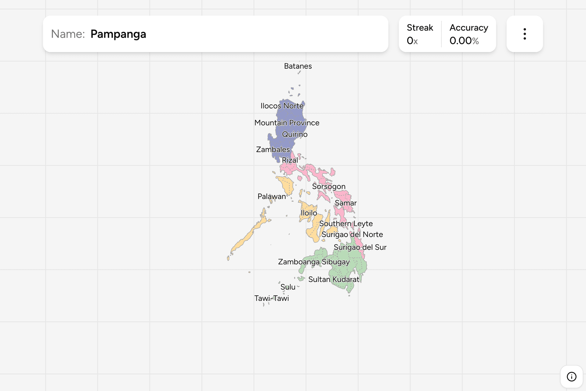
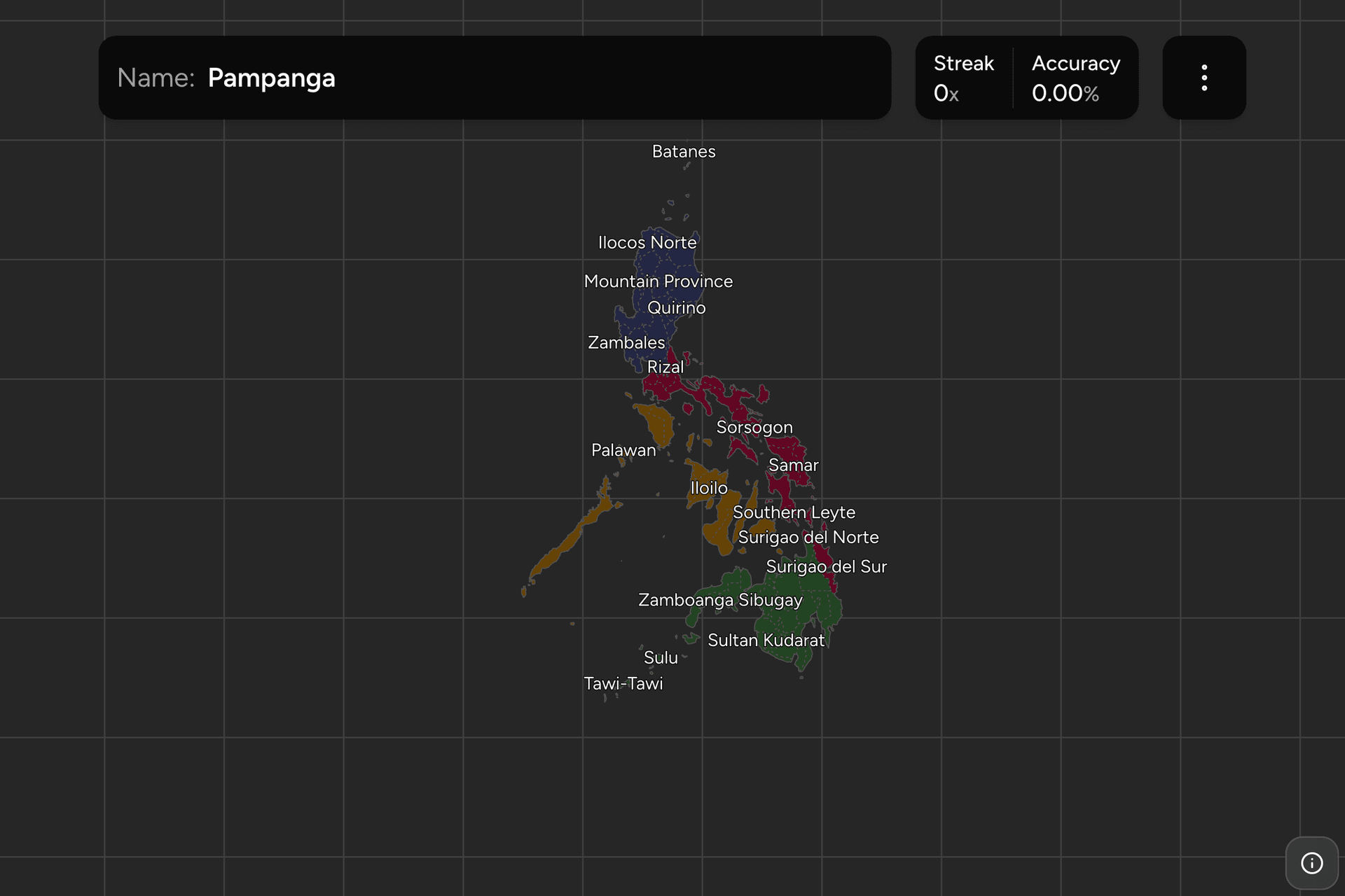
The Philippines is thousands of islands administered as provinces, and the
provinces are how anything local is addressed, reported and signposted. They
are also, once you have the three island groups straight, one of the more
learnable maps in Asia: most provinces are an island, a peninsula or a valley
with a name that tells you which half of something it is. This page is the
whole list, and the game puts each name on the map.
- The quiz
- Name to place, on the map
- Grouped by
- Quarter of the archipelago
- In the game
- 80 provinces
What you are looking at
A province is the first level of local government below the national one, run
by an elected governor. Above them sit the regions, which are administrative
groupings rather than governments, and the three island groups (Luzon in the
north, the Visayas in the middle, Mindanao in the south) which are geography
rather than administration. Below them are the cities and municipalities, and
a handful of cities are independent of any province: this game folds those
back into the province around them, so Cebu is one target rather than three.
Metro Manila is the exception the map cannot hide. The National Capital Region
is not a province and has no provincial government; it is sixteen cities and
one municipality, and in the boundary data behind this game the whole region
carries the name of one of them. Treat that target as Metro Manila.
The list of provinces also moves, and this game's map is a few years behind the
current one. Davao Occidental, Dinagat Islands and the 2022 split of
Maguindanao into a northern and a southern province are not in it, and Davao de
Oro appears under its former name, Compostela Valley. Everything else matches.
How to place one
- Get the island group. Luzon is the big northern island plus the ones
around it. Mindanao is the big southern one. The Visayas are the cluster
between them, and Palawan is the long thin island out to the southwest on
its own.
- Read the second word. Norte is the northern half of a divided province,
Sur the southern half; Occidental is the western half, Oriental the eastern.
Ilocos, Agusan, Surigao, Lanao, Camarines, Davao and Zamboanga come in Norte
and Sur pairs. Misamis, Mindoro and Negros come in Occidental and Oriental
pairs. Getting the halves the right way round is most of the difficulty in
this game.
- Then work the coast. Almost every province touches water, so the order
along a coastline is a stronger memory than a shape. In the Visayas, Samar
and Leyte are the eastern pair, Cebu and Bohol the middle, Negros and Panay
the west.
The traps are the small islands that are provinces in their own right:
Siquijor, Camiguin, Guimaras, Biliran, Batanes, Marinduque, Romblon and
Catanduanes. Each is one click, and each is easy to miss when you are scanning
for something province sized.
Every province, by quarter
- North24 provinces
- Aurora, Bulacan, Pampanga, Bataan, Zambales, Pangasinan, La Union, Ilocos Sur, Ilocos Norte, Cagayan, Isabela, Batanes, Nueva Ecija, Rizal, Quirino, Nueva Vizcaya, Benguet, Ifugao, Mountain Province, Tarlac, Apayao, Kalinga, Abra, Mandaluyong City
- East19 provinces
- Surigao del Norte, Surigao del Sur, Southern Leyte, Leyte, Eastern Samar, Biliran, Samar, Quezon, Camarines Norte, Camarines Sur, Albay, Sorsogon, Batangas, Cavite, Northern Samar, Masbate, Marinduque, Catanduanes, Laguna
- West15 provinces
- Palawan, Camiguin, Siquijor, Bohol, Guimaras, Negros Occidental, Negros Oriental, Cebu, Aklan, Antique, Iloilo, Capiz, Romblon, Mindoro Oriental, Mindoro Occidental
- South22 provinces
- Sulu, Davao del Norte, Zamboanga Sibugay, Agusan del Norte, Misamis Oriental, Lanao del Norte, Zamboanga del Sur, Misamis Occidental, Zamboanga del Norte, Lanao del Sur, Maguindanao, Sultan Kudarat, Sarangani, Davao del Sur, Compostela Valley, Davao Oriental, Tawi-Tawi, Basilan, Agusan del Sur, Bukidnon, Cotabato, South Cotabato
The four groups are quarters of the archipelago rather than the island groups:
the southern one is essentially Mindanao, the northern one is northern Luzon,
and the eastern and western groups split the middle of the country down the
Visayas. The Surigao provinces on the northeast corner of Mindanao sit with
the eastern group, which is worth knowing before you switch a group off. Any
of them can be played on its own from the game's start dialog.
Worked examples
PalawanThe anchor in the westThe long island running southwest towards Borneo, and the largest province by
area. It is unmistakable on the map and a good anchor: everything else in the
west is a short hop north or east of it.
Mandaluyong CityMetro ManilaThe National Capital Region, which is not a province and appears here under
the name of one of its component cities, because that is how the boundary
data names the merged region. It is the small dense patch on the eastern
shore of Manila Bay, halfway down the west coast of Luzon.
BatanesThe far northThe northernmost province, a scatter of small islands in the strait between
Luzon and Taiwan, and the smallest by both area and population. Nobody finds
this by guessing; it is worth clicking once on purpose so you know where the
map puts it.
Misamis OccidentalOccidental or OrientalThe western of the two Misamis provinces, on the north coast of Mindanao,
facing its Oriental twin across Iligan Bay. This is the pair to drill until
the rule is automatic, because Occidental and Oriental cost more points in
this game than any shape does.
Frequently asked questions
How many provinces does the Philippines have?
82 as of the 2022 split of Maguindanao. This game is built on boundary data that predates the newest ones, so Davao Occidental, Dinagat Islands and the two Maguindanao provinces are not in it, and Davao de Oro still appears as Compostela Valley.
What do Norte, Sur, Occidental and Oriental mean in Philippine province names?
They are the halves of a province that was divided. Norte is north and Sur is south, so Ilocos Norte sits above Ilocos Sur. Occidental is west and Oriental is east, so Misamis Occidental sits west of Misamis Oriental. The words are Spanish, left over from three centuries of Spanish administration.
Is Metro Manila a province?
No. The National Capital Region is a region made up of sixteen cities and one municipality, with no provincial government above them. It appears on this map as a single target because the boundary data treats it as one unit, and it carries the name of one of its cities.
What is the difference between a province and a region in the Philippines?
A province is a unit of local government with an elected governor. A region is a grouping of provinces used to organise national government offices, and it has no elected government of its own. The Bangsamoro region in the southwest is the exception, with its own parliament.
Which Philippine provinces are hardest to remember?
The paired ones, because the shapes are similar and only the second word differs: the Norte and Sur pairs in Ilocos, Agusan, Surigao, Lanao, Camarines, Davao and Zamboanga, and the Occidental and Oriental pairs in Misamis, Mindoro and Negros. After those, the small single island provinces such as Siquijor, Camiguin, Guimaras and Biliran.
More administrative maps in the region: Japan
Prefectures, India States, Thailand
Provinces and Vietnam Provinces.
Sources