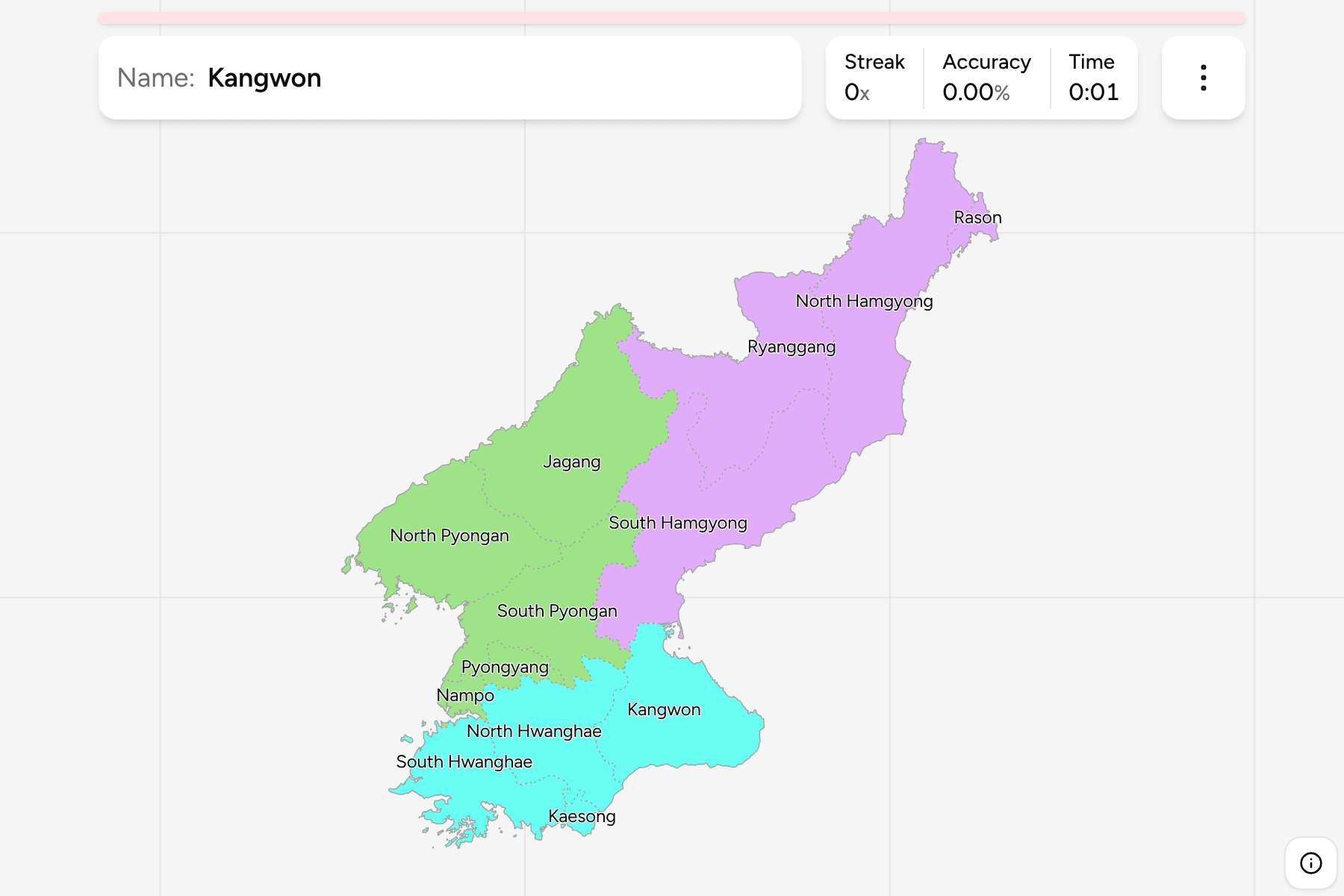
North Korea has no street-level coverage for a GeoGuessr round to draw on, so
this quiz stands on its own terms: the first tier of a country whose map is
easy to read once you see the shape. A mountain spine runs down the east, the
plains and the capital lie in the west, and thirteen units divide it up.
- The quiz
- Name to place, on the map
- Grouped by
- Three parts of the country, an unofficial cut
- In the game
- 13 province or cities
What you are looking at
Nine provinces (do) and four cities that answer to the central government
instead of to a province: Pyongyang, Nampo, Rason and Kaesong. The four cities
are small, so they have tap areas, and zooming in is the way to reach them.
The names are the old halves of a few historical provinces. Pyongan, Hwanghae
and Hamgyong were each split into a north and a south province, so the map has
three pairs that share a name, and learning which is which is most of the game:
north is the one on the Chinese border, south is the one on the coast or
towards the capital. Ryanggang and Jagang are the two mountain provinces along
the northern border, and Kangwon is the one on the east coast that reaches the
border with the South.
The boundary file draws Rason inside North Hamgyong and Kaesong inside North
Hwanghae, as they were before they became cities of their own. The quiz cuts
each out as a unit, using the single county the file draws for it, so the
provinces are the North Korea Counties grouped and the
borders of the two maps match exactly. The groups are not an official
classification: North Korea has no tier between the provinces and the country,
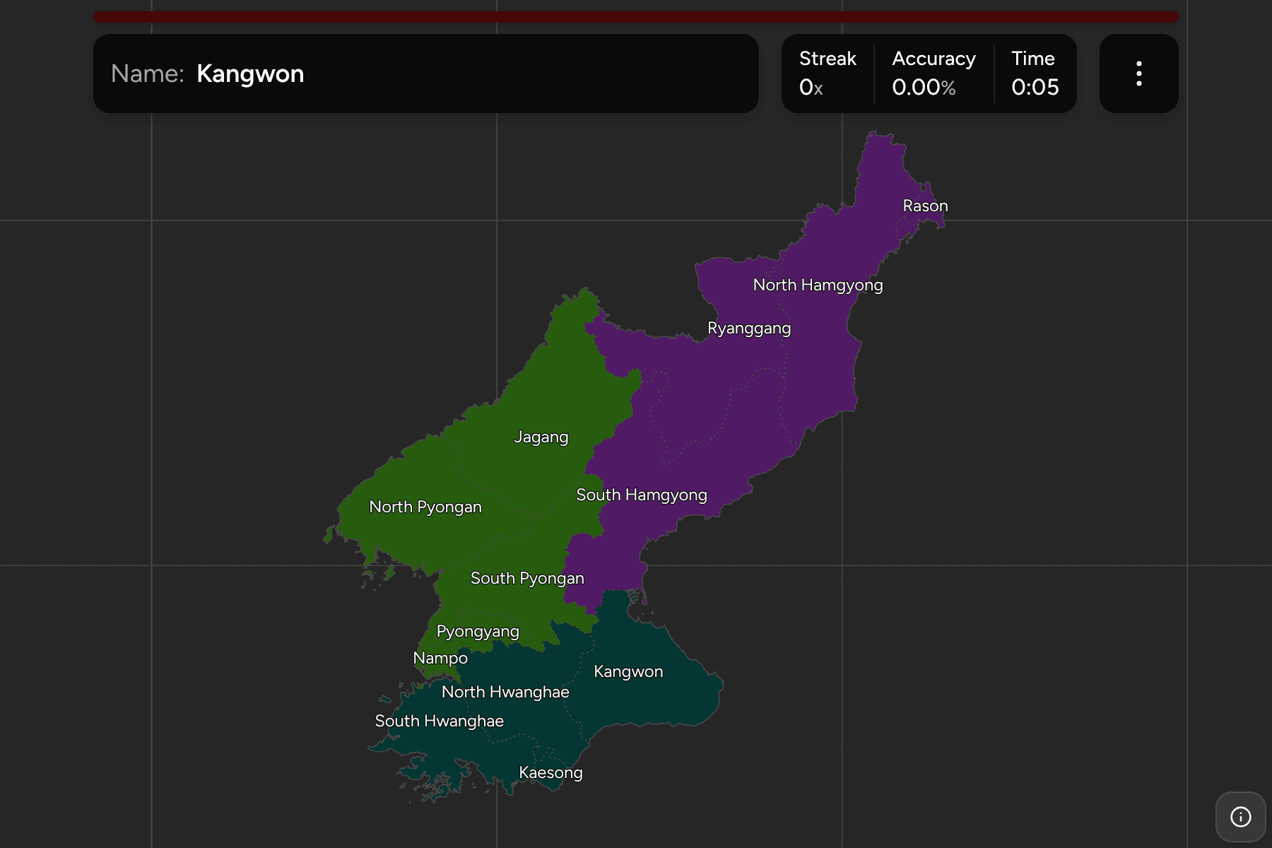
so the quiz cuts the thirteen into the north west, the north east and the south
to let you drill them a piece at a time.
How to place one
- Start with the capital and its neighbour. Pyongyang and Nampo are the two
small cities on the Taedong river, in the west.
- Learn the north east. Ryanggang, North Hamgyong and South Hamgyong run down
the east coast in that order, with Rason at the very tip.
- Split the Pyongans. North Pyongan is on the Chinese border, South Pyongan
is below it and holds the capital, and Jagang is the mountain province between
them and Ryanggang.
- Finish in the south. The Hwanghae provinces fill the south west with
Kaesong beside the border, and Kangwon is the east coast province above it.
Every province, by group
- North West5 province or cities
- Jagang, Nampo, North Pyongan, Pyongyang, South Pyongan
- North East4 province or cities
- North Hamgyong, Rason, Ryanggang, South Hamgyong
- South4 province or cities
- Kaesong, Kangwon, North Hwanghae, South Hwanghae
Worked examples
RyanggangThe northern borderRyanggang lies on the Chinese border in the north, a high plateau around the
volcano Paektu, and takes its name from the two rivers that meet there. It is
the province to find first in the north east.
RasonThe city at the tipRason is a small city at the far north east tip, where the borders of China and
Russia meet the sea. It is small enough that a tap area is the way to reach it,
and the boundary file draws it as part of North Hamgyong.
KaesongThe city on the borderKaesong is a city of its own on the border with South Korea, south of the
Hwanghae provinces. It is known for its old capital buildings and for the
industrial park that lay just north of the border.
Frequently asked questions
How many provinces does North Korea have?
Nine provinces and four directly governed cities (Pyongyang, Nampo, Rason and Kaesong), thirteen first-level units in all.
Why are the groups not official?
North Korea has no administrative tier between the provinces and the country, so the quiz groups them into three parts of the map by position.
What is below the province?
The counties, which are their own quiz. The file draws 179 of them, fewer than the country has: the capital alone is folded into three.
The tier below this one is North Korea Counties. For
the other half of the peninsula, see South Korea Provinces.
Sources