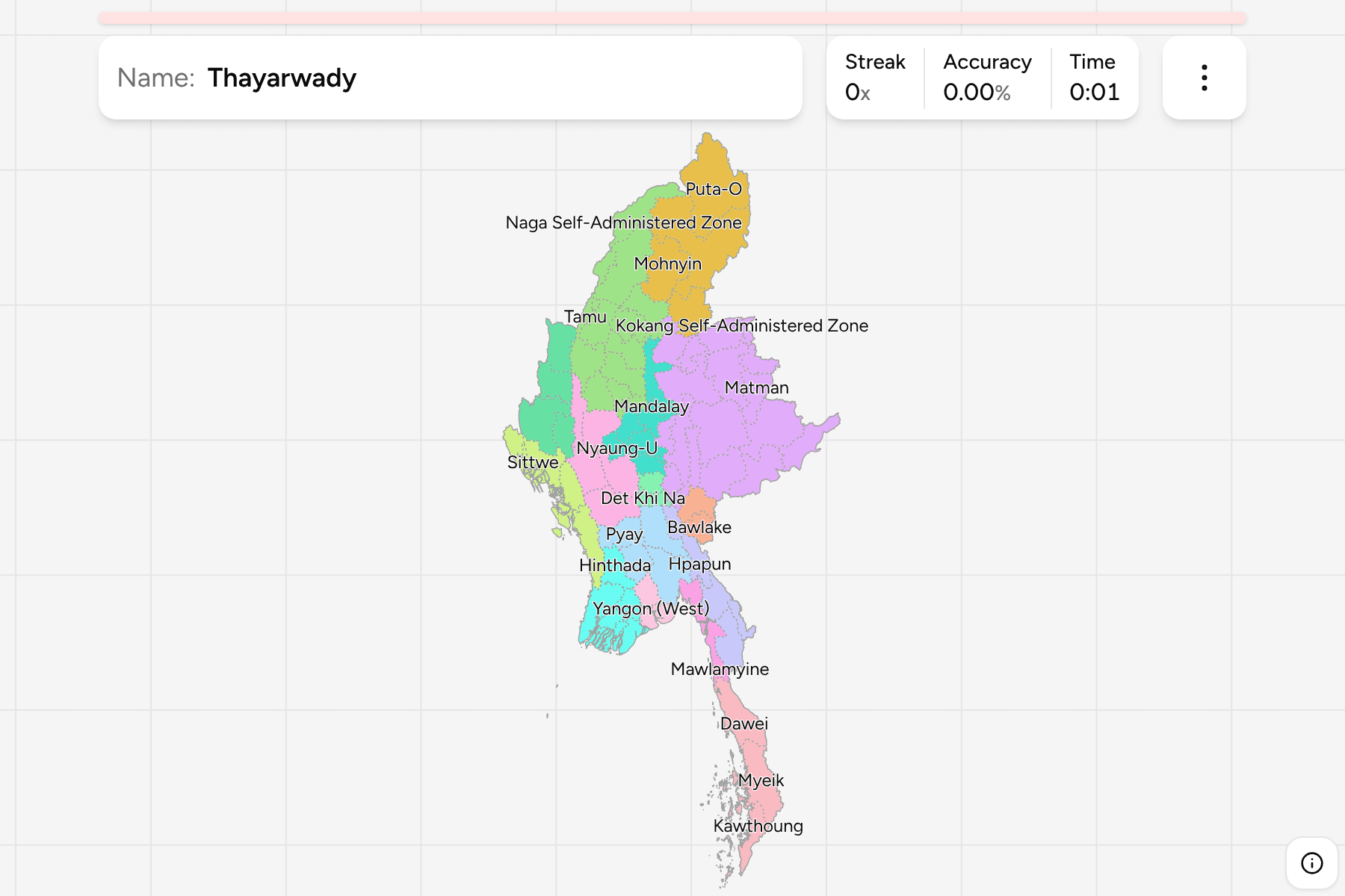
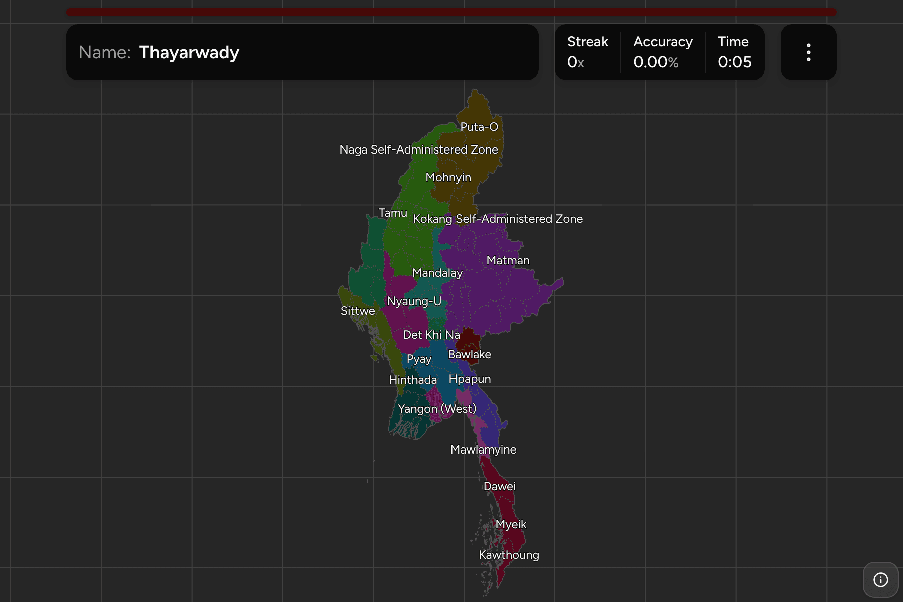
Under the states and regions of Myanmar sit its districts, from the four small
ones around Yangon to Myitkyina, in the far north, which is larger than
Switzerland. This is the full list, grouped by the state or region each one
belongs to.
- The quiz
- Name to place, on the map
- Grouped by
- State or region: all 15
- In the game
- 80 districts
What you are looking at
The districts of Myanmar, the second tier of the country. Most take the name of
their chief town, so Mawlamyine, Pathein and Myitkyina are a district and a city
at once. Yangon is the exception, split into North, South, East and West, and
the East and West districts are the smallest answers on the map, so the game
gives them tap areas.
Five of the answers are self-administered zones (Danu, Kokang, Pa-O and Pa Laung
in Shan, and Naga in Sagaing), which the source lists at district level because
that is where the constitution puts them.
The source draws Bago and Shan each in several pieces; the groups here put them
back together as one state or region each. Nay Pyi Taw has two districts in this
file, though it was reorganised into more in 2022, so a recent map may split it
further than this one does.
How to place one
- Work by group. Learn Shan's sixteen on their own, then Sagaing's twelve,
which are the two biggest lists.
- Use the rivers. The Irrawaddy runs through Mandalay, Magway and Bago, and
the districts of those regions follow it.
- Do the delta last. Ayeyarwady and Yangon are the low end of the river and
the districts are small and close together.
Every district, by state or region
- Sagaing12 districts
- Hkamti, Kale, Kanbalu, Katha, Kawlin, Mawlaik, Monywa, Naga Self-Administered Zone, Sagaing, Shwebo, Tamu, Yinmarbin
- Shan16 districts
- Danu Self-Administered Zone, Hopang, Kengtung, Kokang Self-Administered Zone, Kyaukme, Langkho, Lashio, Loilen, Matman, Monghsat, Mongmit, Muse, Pa Laung Self-Administered Zone, Pa-O Self-Administered Zone, Tachileik, Taunggyi
- Ayeyarwady6 districts
- Hinthada, Labutta, Maubin, Myaungmya, Pathein, Pyapon
- Kachin4 districts
- Bhamo, Mohnyin, Myitkyina, Puta-O
- Mandalay7 districts
- Kyaukse, Mandalay, Meiktila, Myingyan, Nyaung-U, Pyinoolwin, Yamethin
- Tanintharyi3 districts
- Dawei, Kawthoung, Myeik
- Bago4 districts
- Bago, Pyay, Taungoo, Thayarwady
- Rakhine5 districts
- Kyaukpyu, Maungdaw, Mrauk-U, Sittwe, Thandwe
- Chin4 districts
- Falam, Hakha, Matupi, Mindat
- Magway5 districts
- Gangaw, Magway, Minbu, Pakokku, Thayet
- Kayin4 districts
- Hpa-An, Hpapun, Kawkareik, Myawaddy
- Yangon4 districts
- Yangon (East), Yangon (North), Yangon (South), Yangon (West)
- Mon2 districts
- Mawlamyine, Thaton
- Kayah2 districts
- Bawlake, Loikaw
- Nay Pyi Taw2 districts
- Det Khi Na, Oke Ta Ra
Worked examples
MyitkyinaThe biggest of themMyitkyina is the largest answer on the map, the Kachin district that holds the
state capital and the confluence where the Irrawaddy begins.
Yangon (West)The smallest of themYangon West is the central part of the old capital, a few dozen square
kilometres, and small enough to need a tap area.
Kokang Self-Administered ZoneA zone that counts as a districtKokang is a self-administered zone in the north of Shan, on the Chinese
border, listed alongside the ordinary districts.
Frequently asked questions
Why do some districts have 'Self-Administered Zone' in the name?
The 2008 constitution gave several areas of Shan and Sagaing a degree of self-rule. The boundary file lists five of them at district level, and so does this map.
Why does Nay Pyi Taw have so few districts here?
The file draws the capital territory as two districts. It was reorganised in 2022, and the source has not moved with it.
Why are Bago and Shan not split?
Some files split them in two and three. The groups here use the country's own count of states and regions.
The tier above this one is Myanmar Regions. For another
country at this level, see Madagascar Districts.
Sources