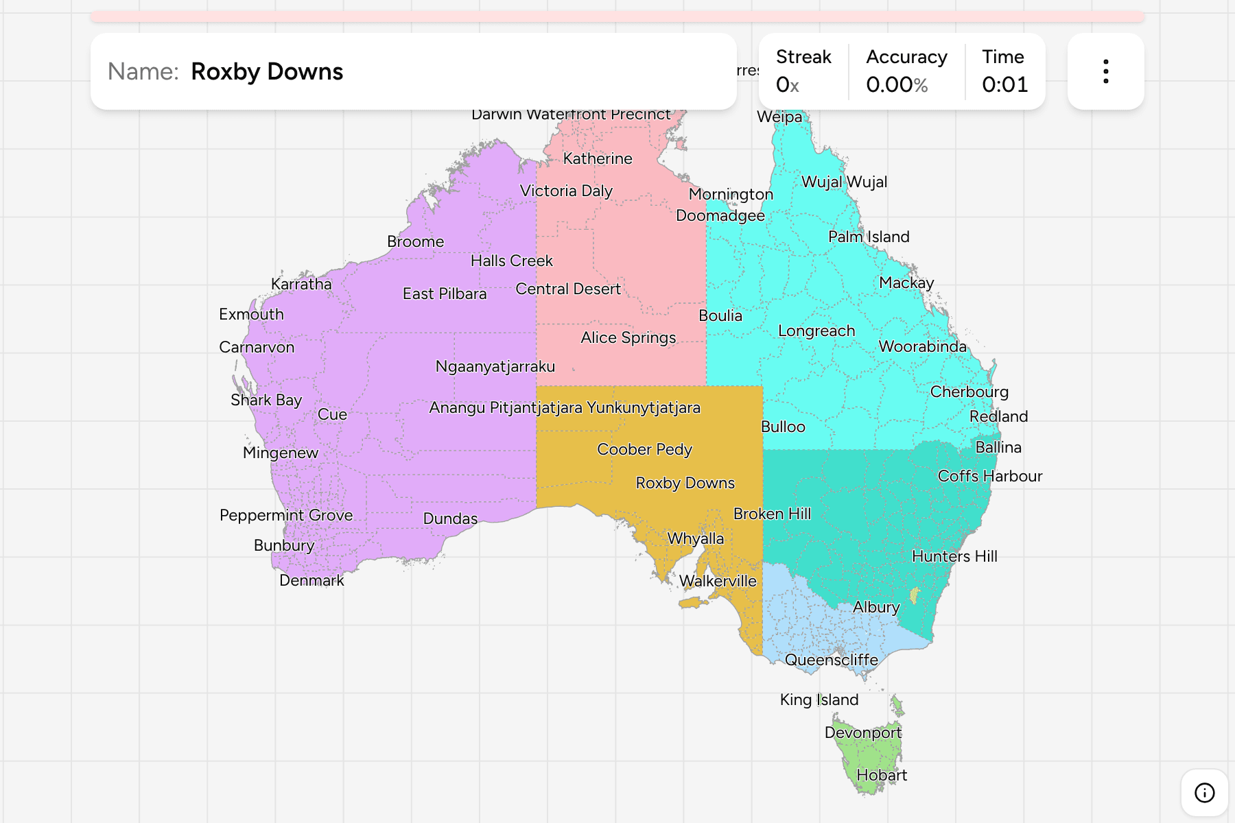
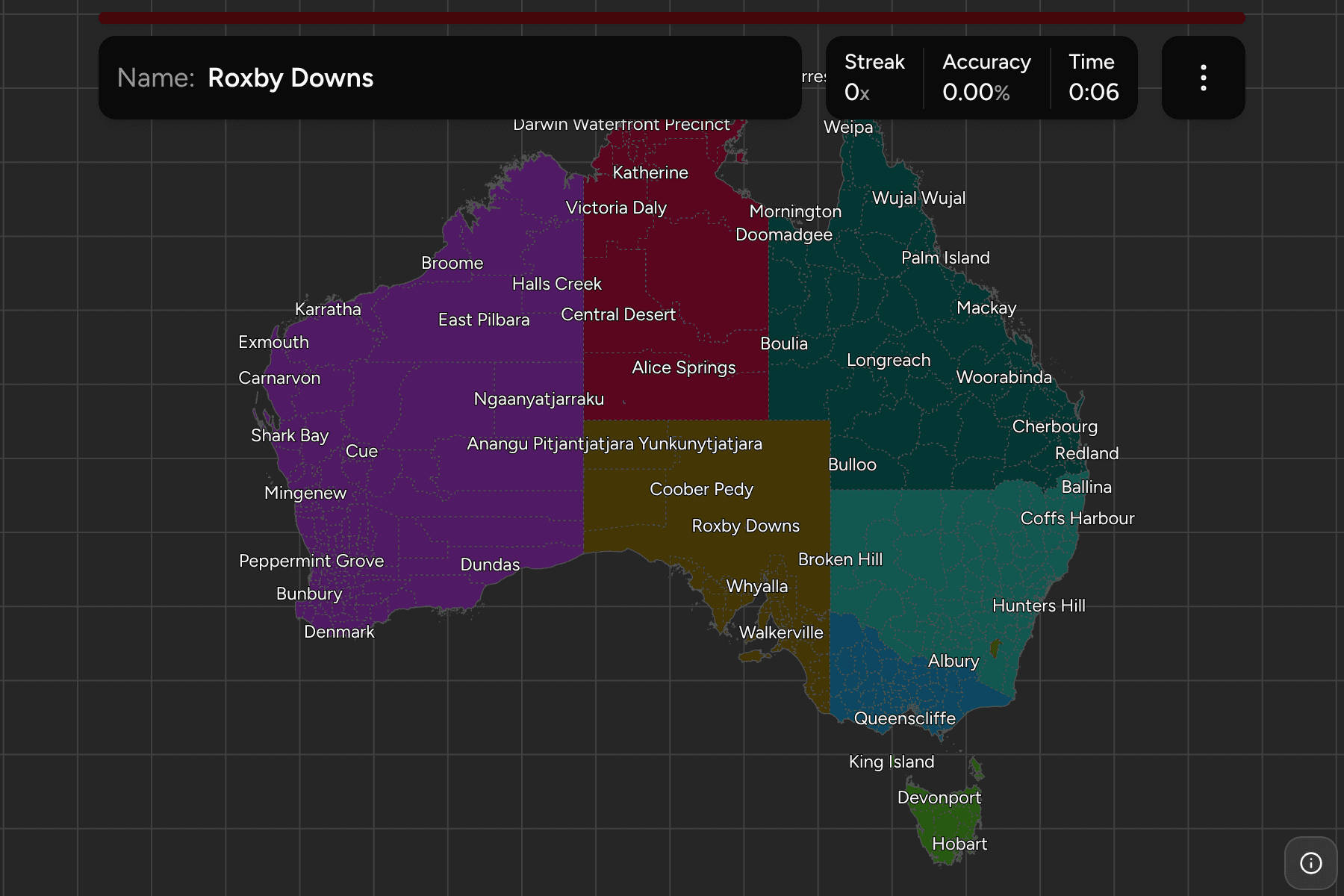
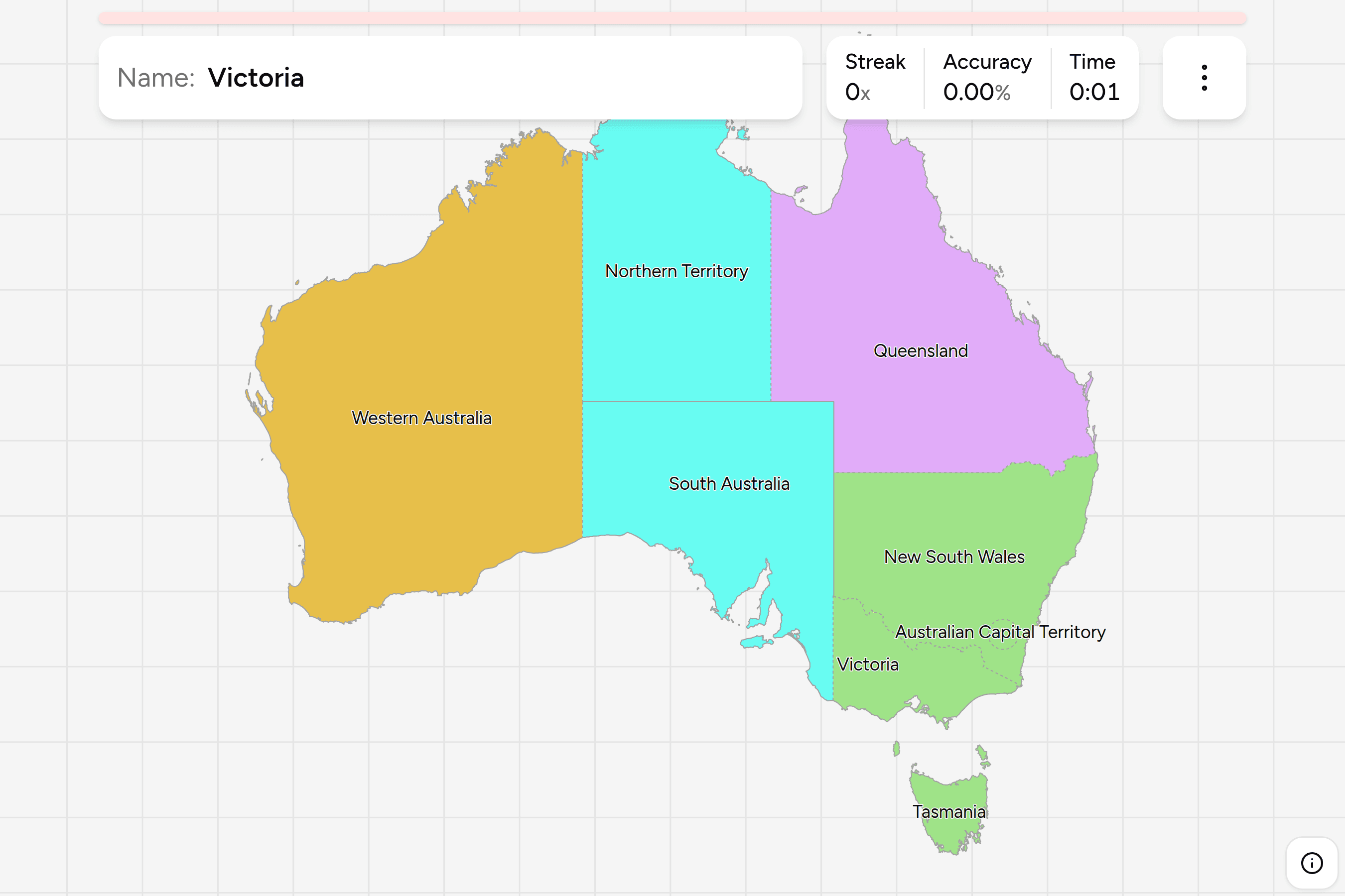
An Australian local government area is the council tier under the state: the
shire, city, regional council or municipality that collects the rates, runs the
roads and issues the planning permits. It is the unit a bushfire warning, a
flood map or a council rates notice names, and it is the second thing a
photograph from Australia settles once the state is known. Learn the states and
territories first, then this map for when a round puts you somewhere the state
alone does not decide.
Every state draws its own councils, so the map is eight different systems laid
side by side. Western Australia and New South Wales have the most, and the
country's two ends could not be less alike: the shires of the Western Australian
wheatbelt and the Sydney basin are a few dozen kilometres across, while the
Pilbara, the Goldfields and the Kimberley are each a handful of councils the size
of a European country. Victoria and Tasmania are small, and every council in
them is a neighbour of five others. Queensland's coast is a chain of
regional councils, and its interior is a few enormous shires.
Not all of the land has a council. The Far West of New South Wales, the Outback
of South Australia and the unorganised parts of the Northern Territory belong to
no local government at all, and the Bureau of Statistics files them as
Unincorporated areas. They are on the map under that name, because they are
among the biggest shapes on it, and a hole there would be the first thing
anybody saw. The Australian Capital Territory has no councils either, and is one
area under its own name.
Some of the names are used in more than one state, and the state in brackets
tells them apart: Campbelltown in New South Wales and South Australia, Kingston
in South Australia and Victoria, Flinders in Queensland and Tasmania. The
smallest areas, mostly the inner suburbs of the capitals, are given a tap area
wider than their shape; zoom in for the rest.
The map leaves off Christmas Island and the Cocos Islands, which are councils but
lie thousands of kilometres off the coast, and the scraps of land that belong to
no council in Victoria and the external territories. A new device opens on
Tasmania, twenty-nine councils on one island, rather than all of them at once.
Every state answers under the same name in
Australia States.
- Tasmania29 local government areas
- Break O'Day, Brighton, Burnie, Central Coast (Tas.), Central Highlands (Tas.), Circular Head, Clarence, Derwent Valley, Devonport, Dorset, Flinders (Tas.), George Town, Glamorgan-Spring Bay, Glenorchy, Hobart, Huon Valley, Kentish, King Island, Kingborough, Latrobe (Tas.), Launceston, Meander Valley, Northern Midlands, Sorell, Southern Midlands, Tasman, Waratah-Wynyard, West Coast, West Tamar
- Western Australia137 local government areas
- Albany, Armadale, Ashburton, Augusta Margaret River, Bassendean, Bayswater, Belmont, Beverley, Boddington, Boyup Brook, Bridgetown-Greenbushes, Brookton, Broome, Broomehill-Tambellup, Bruce Rock, Bunbury, Busselton, Cambridge, Canning, Capel, Carnamah, Carnarvon, Chapman Valley, Chittering, Claremont, Cockburn, Collie, Coolgardie, Coorow, Corrigin, Cottesloe, Cranbrook, Cuballing, Cue, Cunderdin, Dalwallinu, Dandaragan, Dardanup, Denmark, Derby-West Kimberley, Donnybrook-Balingup, Dowerin, Dumbleyung, Dundas, East Fremantle, East Pilbara, Esperance, Exmouth, Fremantle, Gingin, Gnowangerup, Goomalling, Gosnells, Greater Geraldton, Halls Creek, Harvey, Irwin, Jerramungup, Joondalup, Kalamunda, Kalgoorlie-Boulder, Karratha, Katanning, Kellerberrin, Kent, Kojonup, Kondinin, Koorda, Kulin, Kwinana, Lake Grace, Laverton, Leonora, Mandurah, Manjimup, Meekatharra, Melville, Menzies, Merredin, Mingenew, Moora, Morawa, Mosman Park, Mount Magnet, Mount Marshall, Mukinbudin, Mundaring, Murchison, Murray, Nannup, Narembeen, Narrogin, Nedlands, Ngaanyatjarraku, Northam, Northampton, Nungarin, Peppermint Grove, Perenjori, Perth, Pingelly, Plantagenet, Port Hedland, Quairading, Ravensthorpe, Rockingham, Sandstone, Serpentine-Jarrahdale, Shark Bay, South Perth, Stirling, Subiaco, Swan, Tammin, Three Springs, Toodyay, Trayning, Upper Gascoyne, Victoria Park, Victoria Plains, Vincent, Wagin, Wandering, Wanneroo, Waroona, West Arthur, Westonia, Wickepin, Williams, Wiluna, Wongan-Ballidu, Woodanilling, Wyalkatchem, Wyndham-East Kimberley, Yalgoo, Yilgarn, York
- Queensland78 local government areas
- Aurukun, Balonne, Banana, Barcaldine, Barcoo, Blackall Tambo, Boulia, Brisbane, Bulloo, Bundaberg, Burdekin, Burke, Cairns, Carpentaria, Cassowary Coast, Central Highlands (Qld), Charters Towers, Cherbourg, Cloncurry, Cook, Croydon, Diamantina, Doomadgee, Douglas, Etheridge, Flinders (Qld), Fraser Coast, Gladstone, Gold Coast, Goondiwindi, Gympie, Hinchinbrook, Hope Vale, Ipswich, Isaac, Kowanyama, Livingstone, Lockhart River, Lockyer Valley, Logan, Longreach, Mackay, Mapoon, Maranoa, Mareeba, McKinlay, Moreton Bay, Mornington, Mount Isa, Murweh, Napranum, Noosa, North Burnett, Northern Peninsula Area, Palm Island, Paroo, Pormpuraaw, Quilpie, Redland, Richmond, Rockhampton, Scenic Rim, Somerset, South Burnett, Southern Downs, Sunshine Coast, Tablelands, Toowoomba, Torres, Torres Strait Island, Townsville, Weipa, Western Downs, Whitsunday, Winton, Woorabinda, Wujal Wujal, Yarrabah
- South Australia71 local government areas
- Adelaide, Adelaide Hills, Adelaide Plains, Alexandrina, Anangu Pitjantjatjara Yunkunytjatjara, Barossa, Barunga West, Berri Barmera, Burnside, Campbelltown (SA), Ceduna, Charles Sturt, Clare and Gilbert Valleys, Cleve, Coober Pedy, Coorong, Copper Coast, Elliston, Flinders Ranges, Franklin Harbour, Gawler, Goyder, Grant, Holdfast Bay, Kangaroo Island, Karoonda East Murray, Kimba, Kingston (SA), Light, Lower Eyre Peninsula, Loxton Waikerie, Maralinga Tjarutja, Marion, Mid Murray, Mitcham, Mount Barker, Mount Gambier, Mount Remarkable, Murray Bridge, Naracoorte Lucindale, Northern Areas, Norwood Payneham and St Peters, Onkaparinga, Orroroo Carrieton, Peterborough, Playford, Port Adelaide Enfield, Port Augusta, Port Lincoln, Port Pirie, Prospect, Renmark Paringa, Robe, Roxby Downs, Salisbury, Southern Mallee, Streaky Bay, Tatiara, Tea Tree Gully, Tumby Bay, Unincorporated SA, Unley, Victor Harbor, Wakefield, Walkerville, Wattle Range, West Torrens, Whyalla, Wudinna, Yankalilla, Yorke Peninsula
- New South Wales129 local government areas
- Albury, Armidale, Ballina, Balranald, Bathurst, Bayside (NSW), Bega Valley, Bellingen, Berrigan, Blacktown, Bland, Blayney, Blue Mountains, Bogan, Bourke, Brewarrina, Broken Hill, Burwood, Byron, Cabonne, Camden, Campbelltown (NSW), Canada Bay, Canterbury-Bankstown, Carrathool, Central Coast (NSW), Central Darling, Cessnock, Clarence Valley, Cobar, Coffs Harbour, Coolamon, Coonamble, Cootamundra-Gundagai, Cowra, Cumberland, Dubbo, Dungog, Edward River, Eurobodalla, Fairfield, Federation, Forbes, Georges River, Gilgandra, Glen Innes Severn, Goulburn Mulwaree, Greater Hume, Griffith, Gunnedah, Gwydir, Hawkesbury, Hay, Hilltops, Hornsby, Hunters Hill, Inner West, Inverell, Junee, Kempsey, Kiama, Ku-ring-gai, Kyogle, Lachlan, Lake Macquarie, Lane Cove, Leeton, Lismore, Lithgow, Liverpool, Liverpool Plains, Lockhart, Maitland, Mid-Coast, Mid-Western, Moree Plains, Mosman, Murray River, Murrumbidgee, Muswellbrook, Nambucca Valley, Narrabri, Narrandera, Narromine, Newcastle, North Sydney, Northern Beaches, Oberon, Orange, Parkes, Parramatta, Penrith, Port Macquarie-Hastings, Port Stephens, Queanbeyan-Palerang, Randwick, Richmond Valley, Ryde, Shellharbour, Shoalhaven, Singleton, Snowy Monaro, Snowy Valleys, Strathfield, Sutherland, Sydney, Tamworth, Temora, Tenterfield, The Hills, Tweed, Unincorporated NSW, Upper Hunter, Upper Lachlan, Uralla, Wagga Wagga, Walcha, Walgett, Warren, Warrumbungle, Waverley, Weddin, Wentworth, Willoughby, Wingecarribee, Wollondilly, Wollongong, Woollahra, Yass Valley
- Northern Territory19 local government areas
- Alice Springs, Barkly, Belyuen, Central Desert, Coomalie, Darwin, Darwin Waterfront Precinct, East Arnhem, Katherine, Litchfield, MacDonnell, Palmerston, Roper Gulf, Tiwi Islands, Unincorporated NT, Victoria Daly, Wagait, West Arnhem, West Daly
- Victoria79 local government areas
- Alpine, Ararat, Ballarat, Banyule, Bass Coast, Baw Baw, Bayside (Vic.), Benalla, Boroondara, Brimbank, Buloke, Campaspe, Cardinia, Casey, Central Goldfields, Colac Otway, Corangamite, Darebin, East Gippsland, Frankston, Gannawarra, Glen Eira, Glenelg, Golden Plains, Greater Bendigo, Greater Dandenong, Greater Geelong, Greater Shepparton, Hepburn, Hindmarsh, Hobsons Bay, Horsham, Hume, Indigo, Kingston (Vic.), Knox, Latrobe (Vic.), Loddon, Macedon Ranges, Manningham, Mansfield, Maribyrnong, Maroondah, Melbourne, Melton, Mildura, Mitchell, Moira, Monash, Moonee Valley, Moorabool, Moreland, Mornington Peninsula, Mount Alexander, Moyne, Murrindindi, Nillumbik, Northern Grampians, Port Phillip, Pyrenees, Queenscliffe, South Gippsland, Southern Grampians, Stonnington, Strathbogie, Surf Coast, Swan Hill, Towong, Wangaratta, Warrnambool, Wellington, West Wimmera, Whitehorse, Whittlesea, Wodonga, Wyndham, Yarra, Yarra Ranges, Yarriambiack
- Australian Capital Territory1 local government area
- Australian Capital Territory