New Zealand is two long islands and the strait between them, and almost
everything that tells one stretch of road from another is which region it is
in: the volcanic plateau of the Waikato, the dry plains of Canterbury, the
rain-soaked West Coast and the sheep country of Otago. Each region is run by a
regional council, and most players can place the big South Island ones and the
handful around Auckland, then lose the rest somewhere on the east coast of the
North Island.
- The quiz
- Name to place, on the map
- Grouped by
- Island: North or South
- In the game
- 16 regions
What you are looking at
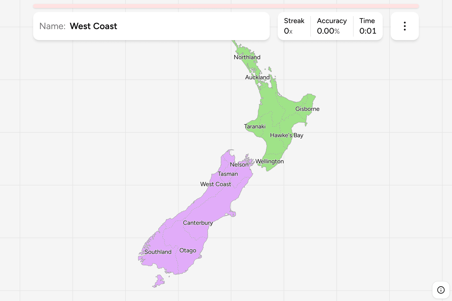
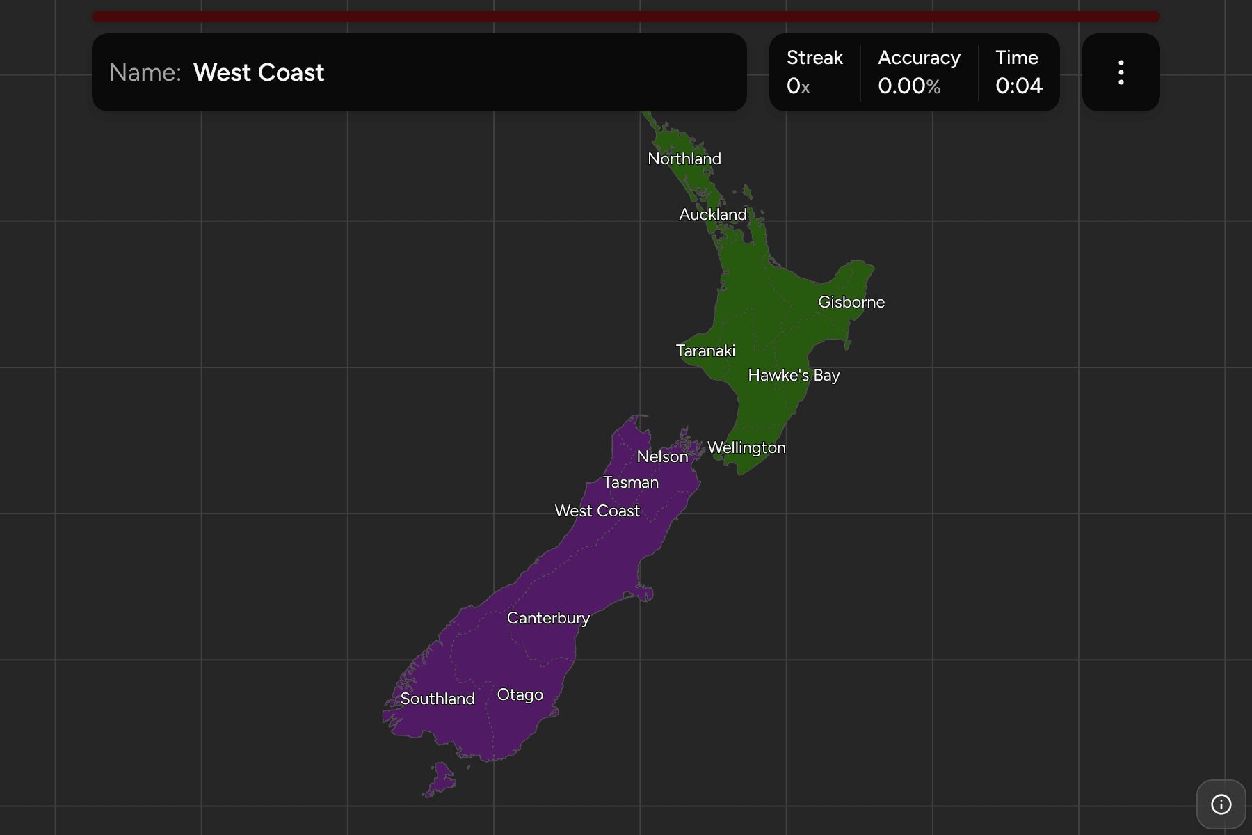
The map has the 16 regions that cover the two main islands, with Stewart Island
inside Southland. Five of them are not run by a regional council at all:
Auckland, Gisborne, Tasman, Nelson and Marlborough are unitary authorities, a
council that does the job of a district and a region together, and they count as
regions here as they do for the statistics office.
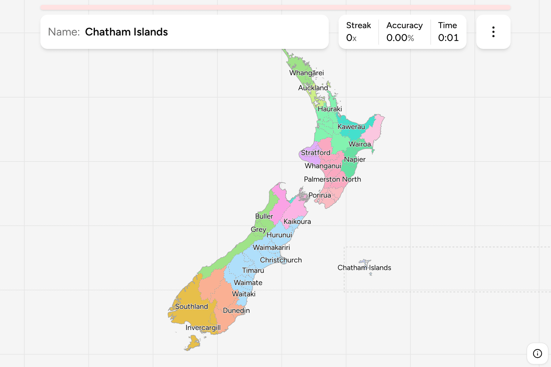
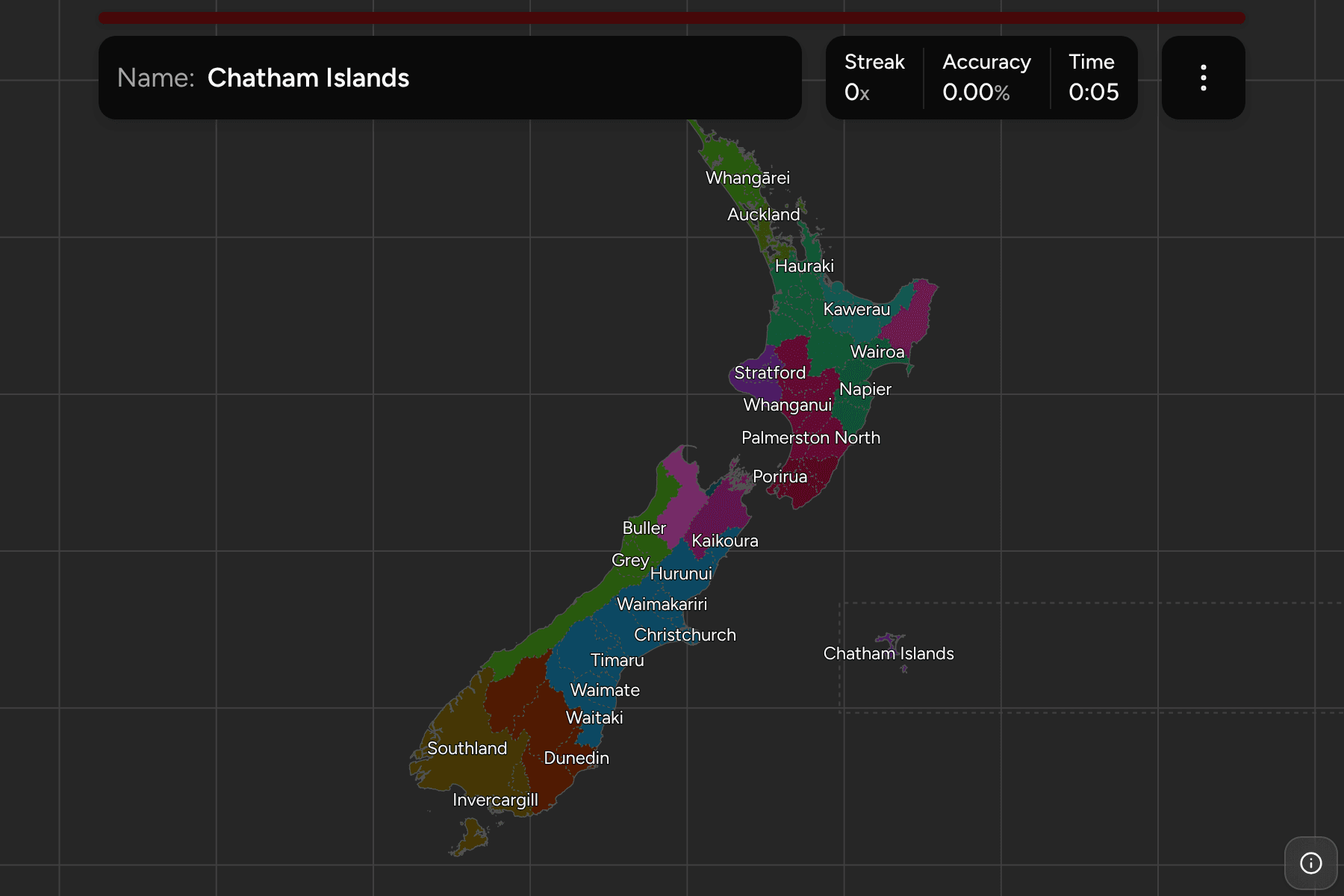
The Chatham Islands are left off. They sit 800 kilometres east of the South
Island and belong to no region, so they only appear on the districts map.
Nelson is a small city squeezed between Tasman and Marlborough at the top of
the South Island, and the smallest region on the map.
How to place one
- Split the islands first. The groups are the North and South Islands, and
the game lets you drill them one at a time.
- Count down the North Island. Northland is the long tail, Auckland the
narrow waist beneath it, and Waikato and the Bay of Plenty fill the middle
before Gisborne and Hawke's Bay on the east and Taranaki, the round bulge, on
the west.
- Find the top of the South Island. Tasman, Nelson and Marlborough are the
three small ones facing the strait. Everything south of them down the west
side is the West Coast.
- Everything big and south is Canterbury, Otago or Southland. Canterbury is
the large eastern block, Otago sits below it, and Southland is the bottom.
Every region, by island
- North Island9 regions
- Auckland, Bay of Plenty, Gisborne, Hawke's Bay, Manawatū-Whanganui, Northland, Taranaki, Waikato, Wellington
- South Island7 regions
- Canterbury, Marlborough, Nelson, Otago, Southland, Tasman, West Coast
Worked examples
NelsonThe smallest oneNelson is a single city and a unitary authority, pressed against the shore of
Tasman Bay. It is the one to hunt for at country scale, and the quickest way to find it is by the two bigger ones that surround it.
TaranakiThe round oneTaranaki is the bulge on the west of the North Island, and it is shaped by the
volcano at its centre. Of every region, it is the one a player recognises on
outline alone.
CanterburyThe big oneCanterbury is the largest region by area, and it takes in most of the
east-central South Island: the plains around Christchurch and the Southern
Alps behind them.
Frequently asked questions
How many regions does New Zealand have?
16, which is the 11 regions run by a regional council and the five unitary authorities of Auckland, Gisborne, Tasman, Nelson and Marlborough. The Chatham Islands are a territory outside the regions.
Why are the Chatham Islands not on this map?
They are not in any region. They are in the districts game, drawn beside the South Island with a line around them, because they lie across the antimeridian from the rest of the country.
Are regions and districts the same thing?
No. A region is a regional council's area, drawn along catchments, and a district is a city or district council's. A district can lie in two regions, and a unitary authority is both at once.
What about the districts?
New Zealand has 67 of them, and they are the next tier down. See New Zealand Districts for that map.
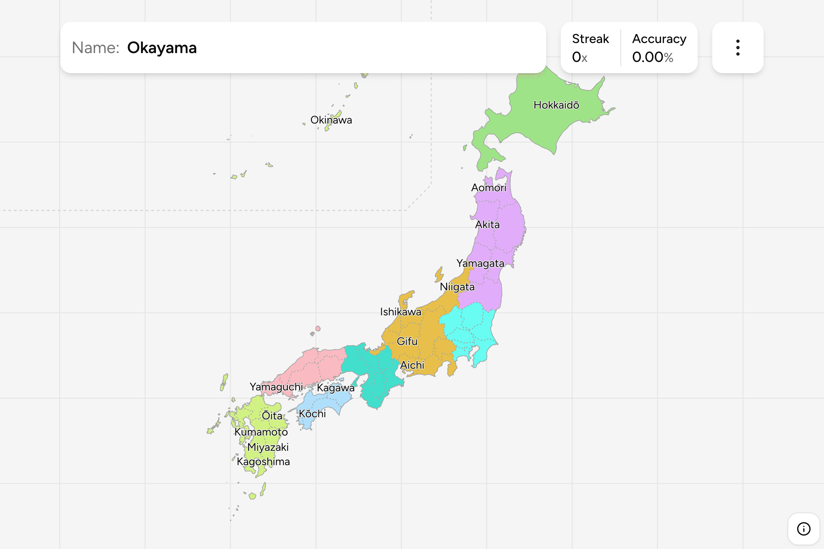
The tier below this one is New Zealand Districts, and
the 16 answers here are 16 of the groups there, so it is the place to go once
the regions come easily. For another country of two long landmasses at this
level, see Japan Prefectures.
Sources