A New Zealand region narrows a round down to a stretch of one island, and no
more. The district is the tier that names a town: 67 territorial authorities,
the city and district councils that run the roads, the rubbish and the signs
you read from the car. They range from Auckland, one council for about a third of the
country's people, to Kawerau, a mill town a few kilometres across.
- The quiz
- Name to place, on the map
- Grouped by
- Region: all 16 regions, and the Chatham Islands
- In the game
- 67 districts
What you are looking at
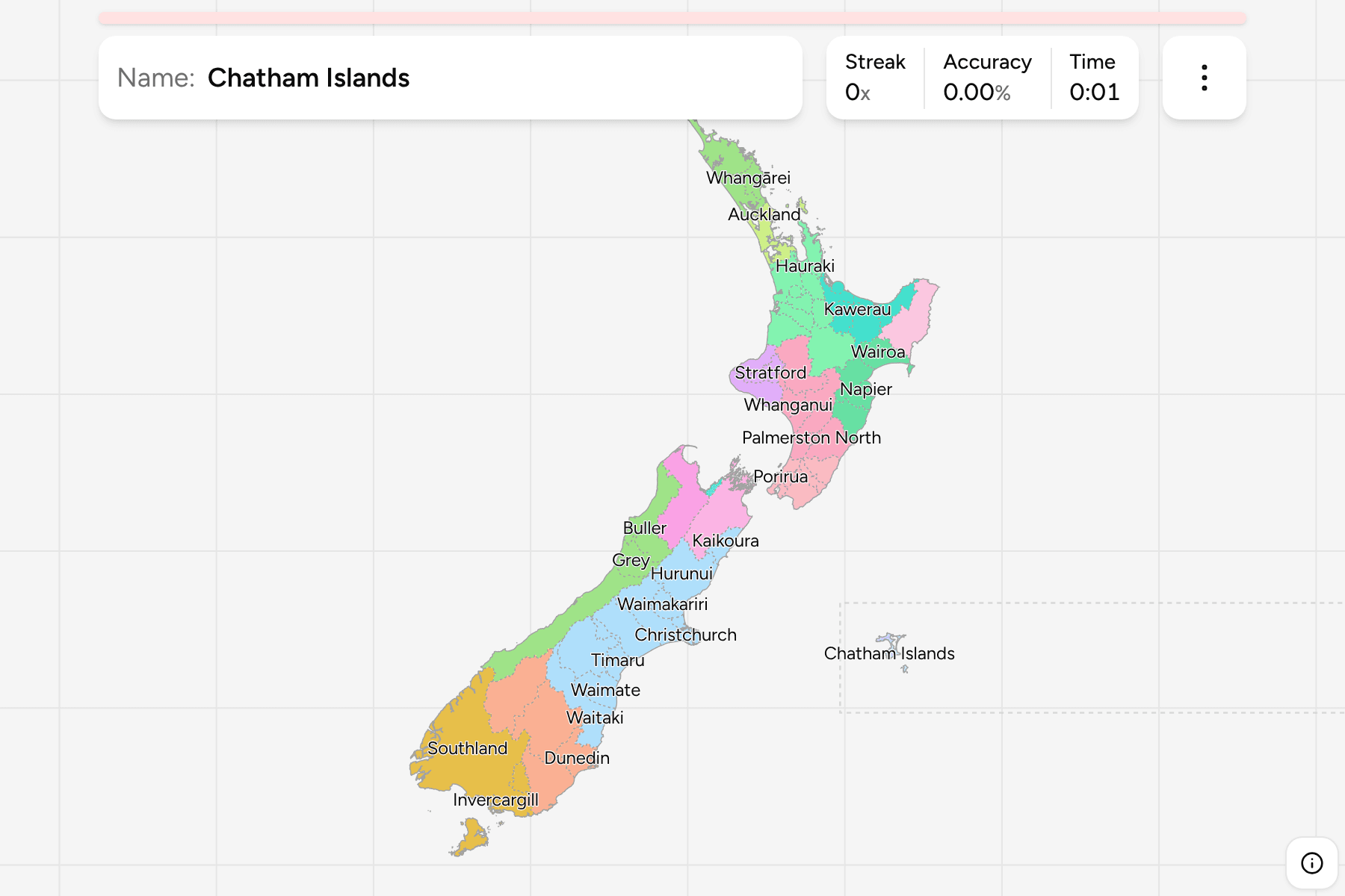
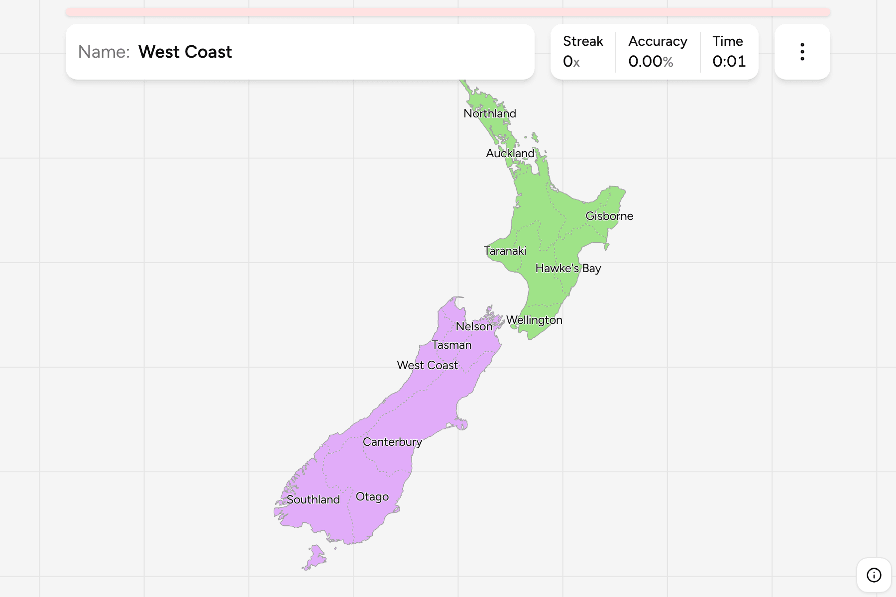
The map has all 67 territorial authorities: the cities, the districts and the
Chatham Islands Territory. Auckland is a single answer, as it is to the
government, although its council is divided into local boards. Each district
is placed in the region it mostly lies in, which gives the groups, so the regions
game is the place to start and this one is the same map at full resolution.
Taupō and Waitomo each cross a regional line, and the map puts them in the
Waikato.
The Chatham Islands are 800 kilometres east of the South Island, on the other
side of the antimeridian from everything else. The map moves them into the sea
off Canterbury and draws a line around them, and they are a group of one.
Ten of the city councils are small enough that their tap area is widened beyond
their shape: Hamilton, Tauranga, Napier, Palmerston North, Invercargill, Kawerau
and the four cities of the Wellington valley.
How to place one
- Pick one region and learn it. The groups are the regions, and the game
lets you drill them one at a time. Wellington has eight districts and
Northland three.
- Find the cities first. Each city council is a small shape inside, or
beside, a large district: Hamilton in the Waikato, Palmerston North in the
Manawatū, Christchurch in Canterbury. The district around it is named for the
area, not the town.
- Use the coast. Most of the North Island's districts touch the sea, and
they run round it in a ring: Far North, Whangārei and Kaipara on the west,
Wairoa, Hastings and Napier on the east.
- Treat the south as a few large blocks. Southland, Westland and
Queenstown-Lakes are far larger than any North Island city.
Every district, by region
- Northland3 districts
- Far North, Kaipara, Whangārei
- Taranaki3 districts
- New Plymouth, South Taranaki, Stratford
- Nelson1 district
- Nelson
- Southland3 districts
- Gore, Invercargill, Southland
- Bay of Plenty6 districts
- Kawerau, Ōpōtiki, Rotorua, Tauranga, Western Bay of Plenty, Whakatane
- Wellington8 districts
- Carterton, Kāpiti Coast, Lower Hutt, Masterton, Porirua, South Wairarapa, Upper Hutt, Wellington
- Canterbury10 districts
- Ashburton, Christchurch, Hurunui, Kaikoura, Mackenzie, Selwyn, Timaru, Waimakariri, Waimate, Waitaki
- Auckland1 district
- Auckland
- Hawke's Bay4 districts
- Central Hawke's Bay, Hastings, Napier, Wairoa
- Marlborough1 district
- Marlborough
- Chatham Islands1 district
- Chatham Islands
- Gisborne1 district
- Gisborne
- Tasman1 district
- Tasman
- Otago4 districts
- Central Otago, Clutha, Dunedin, Queenstown-Lakes
- Waikato10 districts
- Hamilton, Hauraki, Matamata-Piako, Ōtorohanga, South Waikato, Taupō, Thames-Coromandel, Waikato, Waipa, Waitomo
- Manawatū-Whanganui7 districts
- Horowhenua, Manawatū, Palmerston North, Rangitikei, Ruapehu, Tararua, Whanganui
- West Coast3 districts
- Buller, Grey, Westland
Worked examples
AucklandThe biggest councilAuckland is one council and the answer to one question, although it has 21
local boards. It is the narrow isthmus between two harbours, and the one
district in its own region.
KawerauThe smallest oneKawerau is a mill town in the Bay of Plenty, and the smallest district on the
map by a wide margin. It is wedged between the much larger Whakatāne and
Rotorua, which is the way to find it.
Chatham IslandsThe one that is not where it looksThe Chatham Islands Territory is not a district at all but a council of its
own, far out in the Pacific. On this map it is parked beside Canterbury, behind
a line, so the whole country fits on screen.
Frequently asked questions
How many districts does New Zealand have?
67 territorial authorities: the city and district councils, Auckland Council, and the Chatham Islands Territory.
Why is Auckland one answer when it has local boards?
Because the local boards are not councils. Auckland Council is the territorial authority, and the 21 boards are part of how it governs.
Why are the Chatham Islands next to Canterbury?
They are really 800 kilometres east of it, across the antimeridian. Drawing them there would shrink the rest of the country to fit, so the map moves them and marks the move with a line.
How does a district get its region?
A region follows a catchment and a district follows a council, so the two do not always agree. Each district takes the region it overlaps most.
The tier above this one is New Zealand Regions, whose 16
answers are the groups here. For another country at this level, see
Japan Prefectures.
Sources