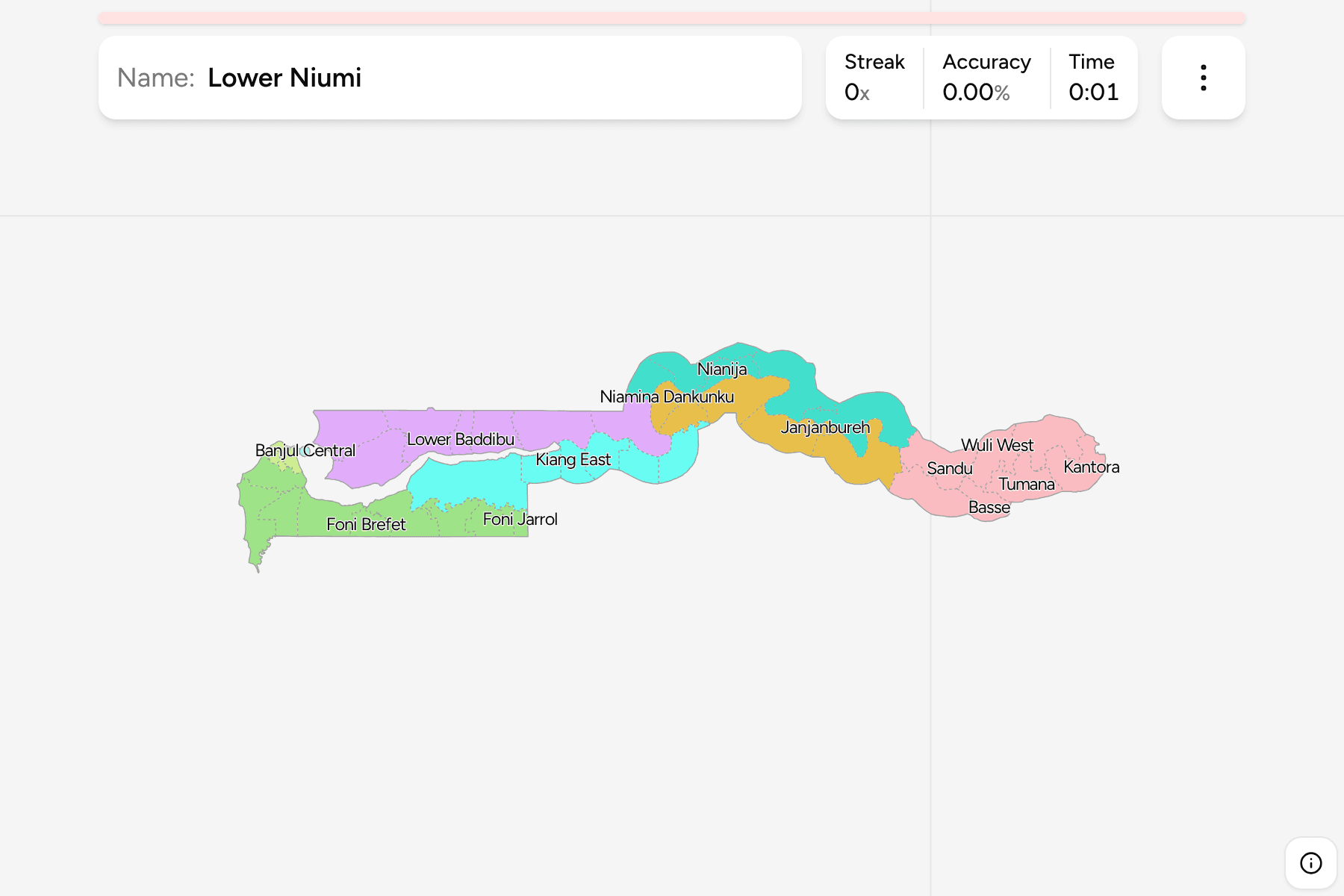
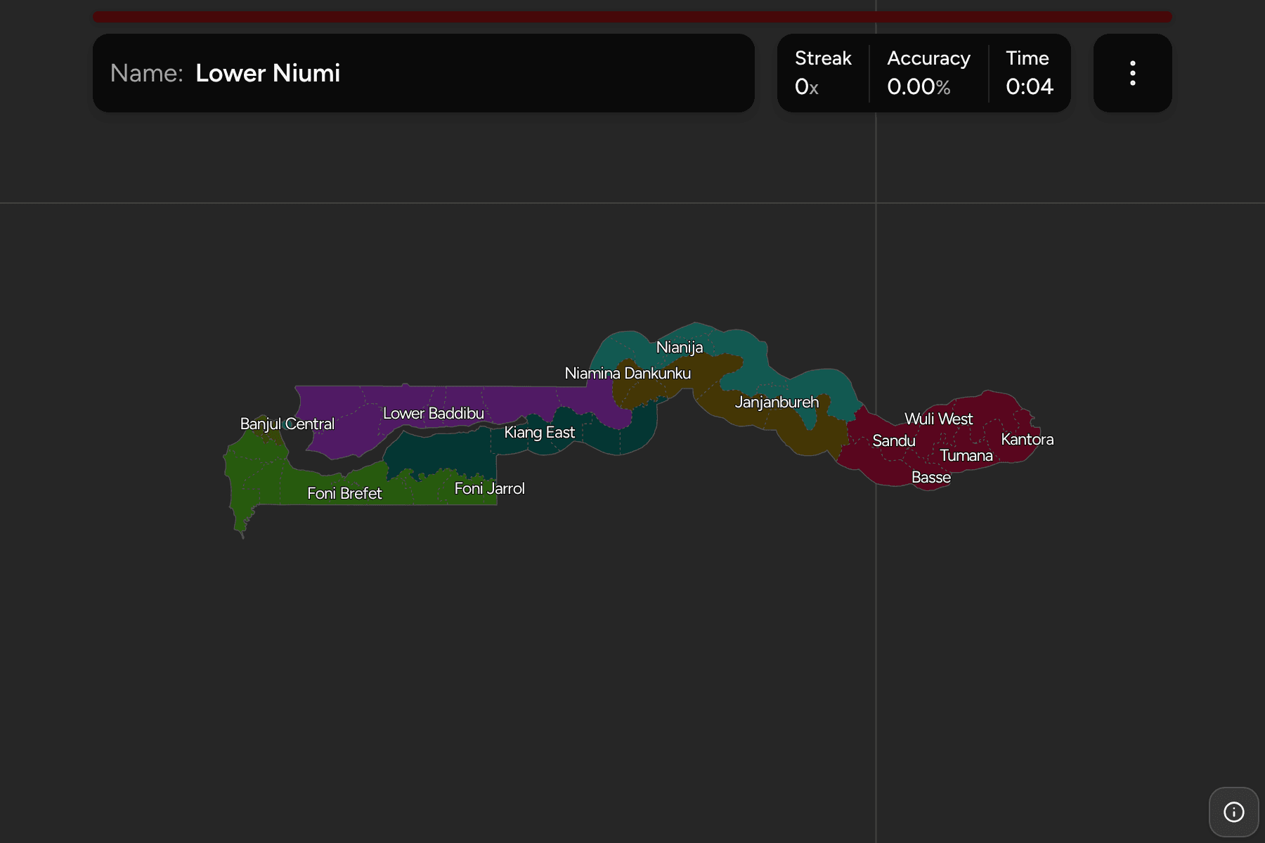
The Gambia is a ribbon of land on either bank of one river, with Senegal on
every side but the Atlantic. The district is the tier below the divisions: it
is the unit of the district tribunal, the seyfo (the district chief) and the
national census, and it names the places on a road sign far better than
the division does. Most of the names repeat in pairs, Upper and Lower, East and
West, so this is a quiz about the compass as much as the map.
- The quiz
- Name to place, on the map
- Grouped by
- Local government area: the six divisions, plus the city of Banjul and the Kanifing municipality
- In the game
- 49 districts
What you are looking at
The districts of the eight local government areas. Two of the eight are
cities: Banjul, the capital, on an island at the river mouth, and the Kanifing
Municipal Council, which holds the largest towns on the coast. The file this
map is drawn from splits them into districts of their own, three in Banjul and
six in Kanifing, so the list is longer than the one for the six divisions alone.
The groups are the local government areas. The divisions are named for the
river: West Coast, Lower River and North Bank at the mouth, and Central River
North, Central River South and Upper River heading inland.
How to place one
- Find the river. The Gambia River runs the whole length of the country,
and the districts hang off it on both sides. North Bank is the north side
of the lower river, Lower River the south side.
- Start at the coast. The Atlantic coast is the West Coast division, with
the Kombo districts around the capital and the Foni districts to the south.
Banjul and Kanifing are the specks at the mouth.
- Split Central River in two. Central River North and Central River South
are the same stretch of river on its two banks. Janjanbureh, once called
Georgetown, is on an island in the river between them.
- End at Basse. Upper River is the last division, in the east, and Basse
is its largest town.
Every district, by local government area
- West Coast9 districts
- Foni Bintang Karenai, Foni Bondali, Foni Brefet, Foni Jarrol, Foni Kansala, Kombo Central, Kombo East, Kombo North, Kombo South
- North Bank7 districts
- Central Baddibu, Illiassa, Jokadu, Lower Baddibu, Lower Niumi, Sabach Sanjal, Upper Niumi
- Lower River6 districts
- Jarra Central, Jarra East, Jarra West, Kiang Central, Kiang East, Kiang West
- Central River South6 districts
- Janjanbureh, Lower Fuladu West, Niamina Dankunku, Niamina East, Niamina West, Upper Fuladu West
- Central River North5 districts
- Lower Saloum, Niani, Nianija, Sami, Upper Saloum
- Upper River7 districts
- Basse, Jimara, Kantora, Sandu, Tumana, Wuli East, Wuli West
- Banjul3 districts
- Banjul Central, Banjul North, Banjul South
- Kanifing6 districts
- Bakau, Jeshwang, Mangrove, Sere Kunda Central, Sere Kunda East, Sere Kunda West
Worked examples
Banjul CentralThe capitalBanjul Central is the smallest district on the map, on the island at the
mouth of the river. Banjul North and Banjul South are the other two districts
of the city, and the Kanifing districts are the mainland beside it.
JanjanburehA district on an islandJanjanbureh is a small district around an island town in the middle of the
river. It sits where Central River North and Central River South meet, and it
belongs to the southern division.
BasseThe far endBasse is a district in the Upper River division, near the eastern tip of the
country, and the last stop on the river before the border closes in on both
banks.
Frequently asked questions
How many districts does the Gambia have?
49 on this map, in eight local government areas. The usual tally of 43 counts Banjul and Kanifing as one unit each, and the source this map is drawn from splits them into three and six districts.
What are the Gambia's local government areas?
Eight: the city of Banjul, the Kanifing Municipal Council, and the six divisions of West Coast, Lower River, North Bank, Central River North, Central River South and Upper River.
Is Banjul the largest city in the Gambia?
No. Banjul is the capital, but the towns of the Kanifing municipality beside it, such as Serekunda, are larger.
For the country around it, see Senegal Departments.
Sources