Namibia lies on the Atlantic coast of southwestern Africa, between Angola and
South Africa, and it is one of the least densely settled countries in the world.
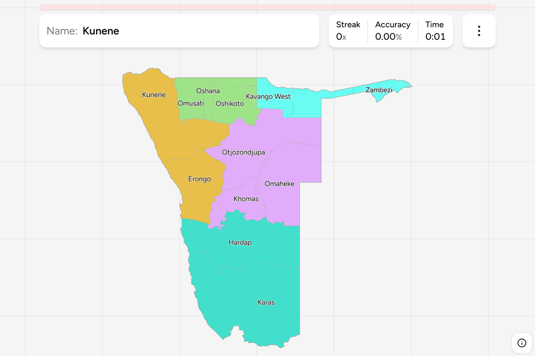
Its 14 regions cover it without a gap, from the crowded north, where most of the
population lives, to the empty desert and coastal dunes of the south and west,
and they include the long Zambezi strip that reaches east between Angola,
Zambia and Botswana.
- The quiz
- Name to place, on the map
- Grouped by
- The North-central, Northeast, West coast, Central and east, and South
- In the game
- 14 regions
What you are looking at
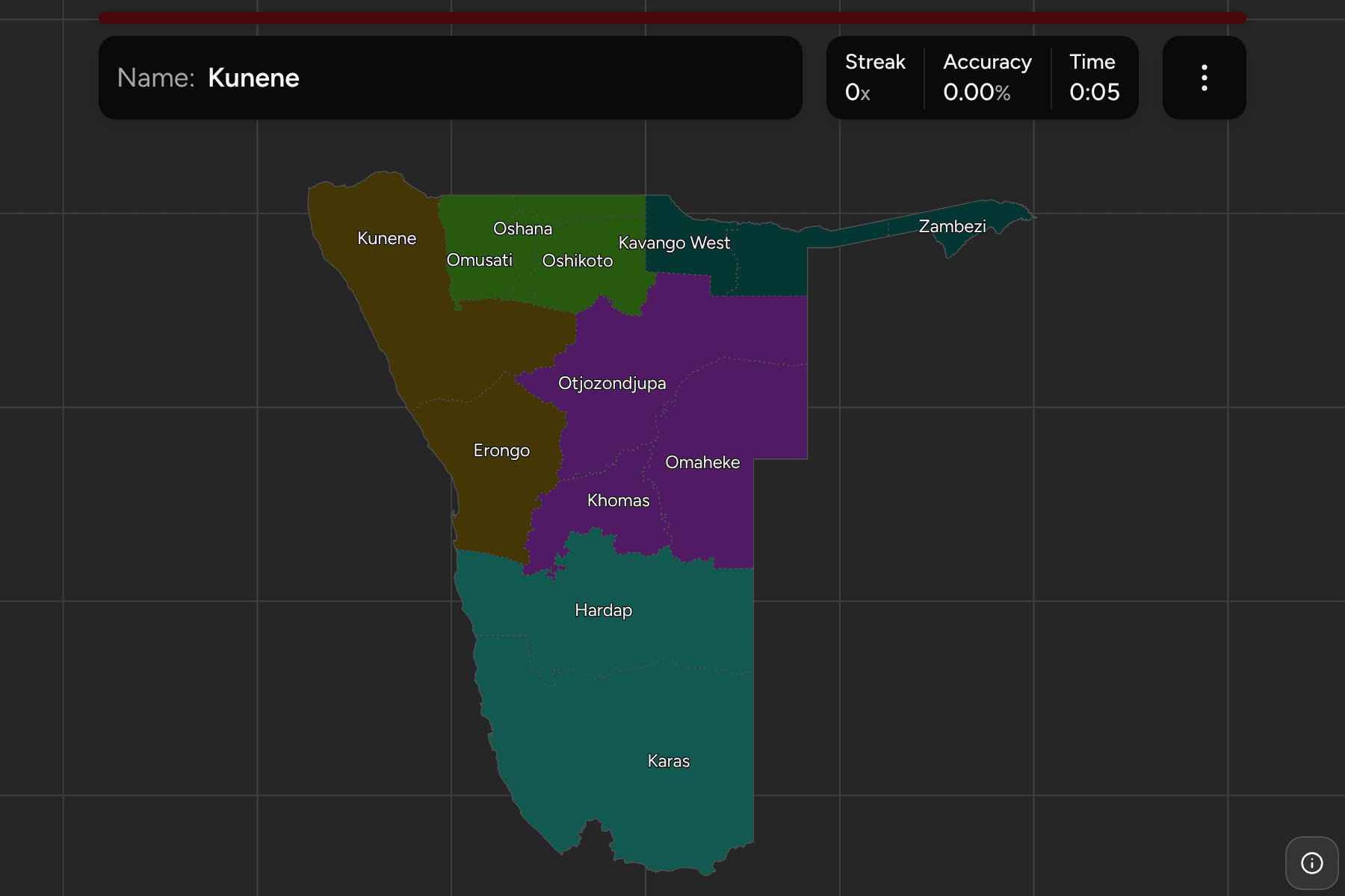
The 14 regions of today. Kavango was split into Kavango East and Kavango West in
2013, which is the pair most often mixed up, and older maps still show one
region there. The four regions of the north-central part, Omusati, Oshana,
Ohangwena and Oshikoto, are small and close together because that is where most
Namibians live. Everything south of them is large: Karas, Hardap and Kunene are
each bigger than most European countries.
The groups are not an official classification. They are the five parts of the
country it is usually described in, and a way to learn the map a piece at a
time.
How to place one
- Start at the capital. Windhoek is in Khomas, in the middle of the
country, with Otjozondjupa to its north and Omaheke to its east.
- Find the strip. Zambezi is the thin arm that runs east along the top,
and nothing else looks like it.
- Work the north. Kunene, then the four small regions of the north-central
group, then Kavango West and Kavango East along the Angolan border.
- Follow the coast down. Erongo holds Walvis Bay and Swakopmund, then
Hardap and Karas fill the south to the Orange River.
Every region, by group
- North-central4 regions
- Ohangwena, Omusati, Oshana, Oshikoto
- Central and east3 regions
- Khomas, Omaheke, Otjozondjupa
- Northeast3 regions
- Kavango East, Kavango West, Zambezi
- West coast2 regions
- Erongo, Kunene
- South2 regions
- Hardap, Karas
Worked examples
KhomasThe capitalKhomas is a small region in the centre of the country, holding Windhoek, with
Erongo to its west and Omaheke to its east.
ZambeziThe stripZambezi is the narrow strip that runs east from the Kavango regions between
Angola and Botswana, ending at the Zambezi and Chobe rivers near Zambia.
KarasThe largestKaras fills the south of the country, from the Atlantic coast to the border
with South Africa and Botswana, and it is the largest region of Namibia.
Frequently asked questions
How many regions does Namibia have?
14. Kavango was split into Kavango East and Kavango West in 2013, and the other twelve are older.
Why is there no game for the constituencies?
Namibia has 121 constituencies since the 2013 split, and no boundary file we can use draws all of them yet: the ones we can reach still show the 107 from before it.
Does Namibia group its regions?
Not in a way this game relies on. The groups here are the five parts the country is commonly described in, and they will not match every list you find.
Sources