Rwanda is the land of a thousand hills, one of the most densely settled
countries in Africa, and a round there is usually decided by altitude and by
which side of the country you are on. The province is the first tier of that
picture, and there are only five of them.
- The quiz
- Name to place, on the map
- Grouped by
- Two parts of the country, an unofficial cut
- In the game
- 5 provinces
What you are looking at
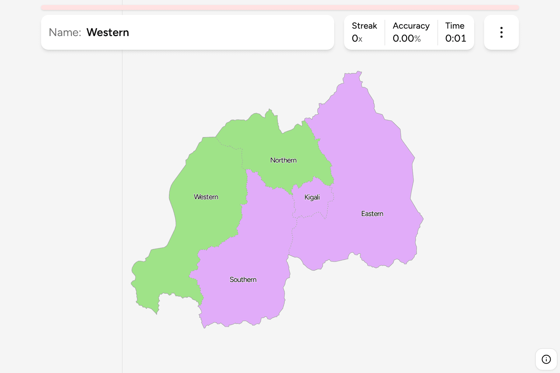
The provinces (intara) of Rwanda, as the 2006 reform drew them: four named for
their position, Northern, Southern, Eastern and Western, and Kigali, the city
province around the capital. Before 2006 there were twelve, named for their
main towns, so a map from before then looks nothing like this one.
Kigali is the small one at the heart of the country, and it is the only
province that is not a compass point. The Eastern province is by far the
largest: low, dry savannah running to the Tanzanian border and the Akagera
park. The Western province follows the shore of Lake Kivu and the border with
the Democratic Republic of the Congo. The Northern province holds the volcanoes
on the Ugandan border, and the Southern province is everything between Kigali
and Burundi.
The groups are not an official classification. Rwanda has no tier between the
province and the country, so the quiz cuts the five into the highlands of the
north and west and the lower country of the south and east (Kigali with it),
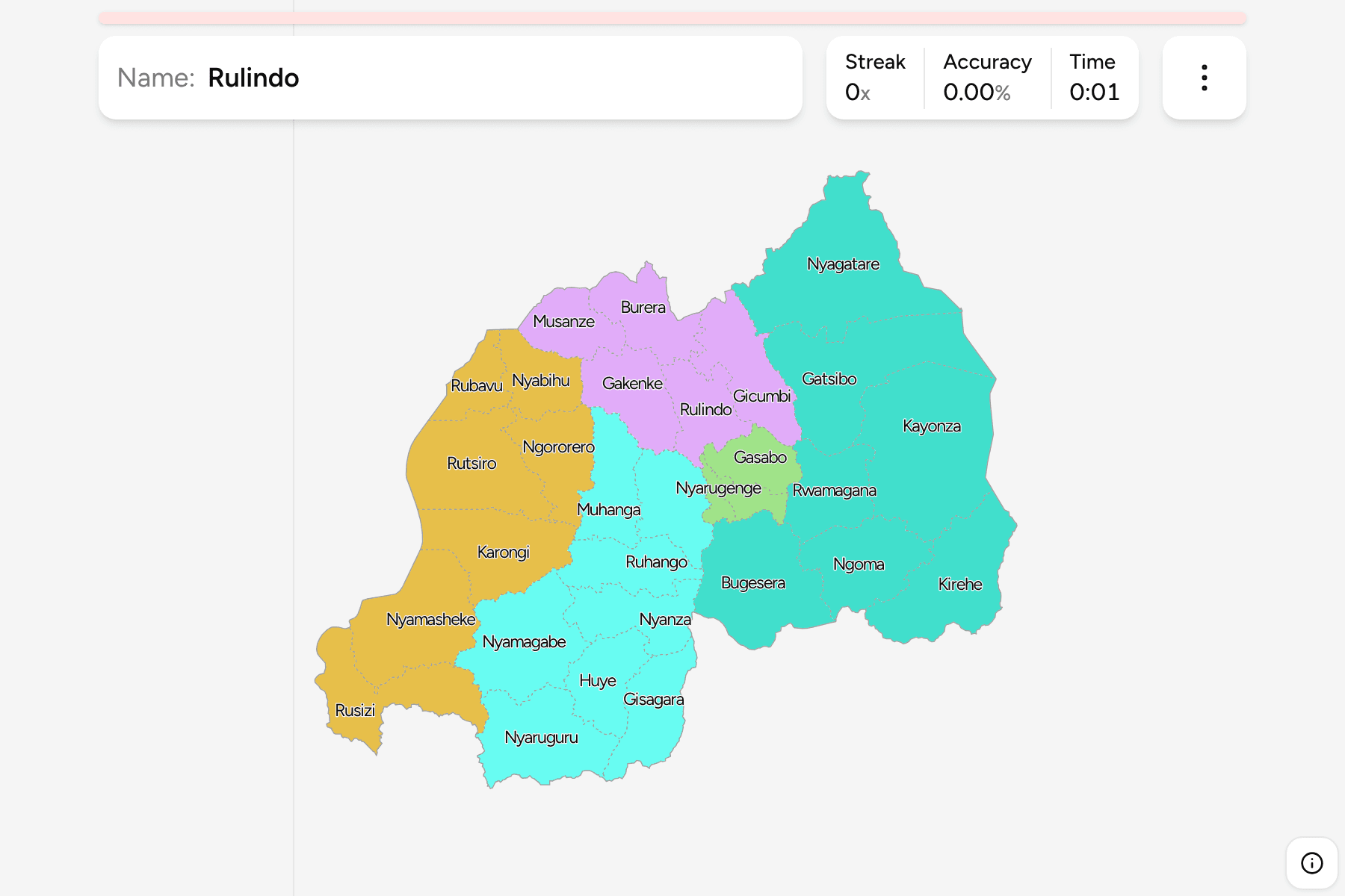
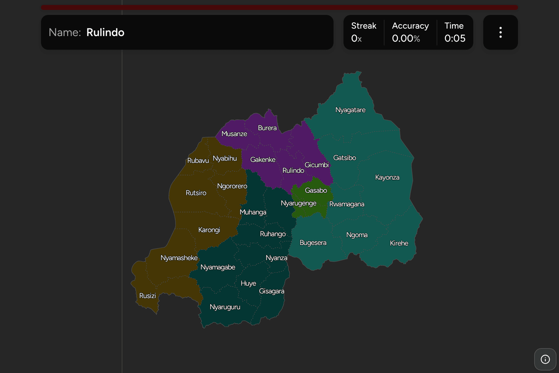
to let you drill the map a piece at a time. The provinces are the
Rwanda Districts grouped, so the borders of the two maps
match exactly.
How to place one
- Start with Kigali. It is the small province in the middle, and the one
every other province touches or sits close to.
- Take the east as one piece. The Eastern province is the broad half of the
country from Kigali to Tanzania.
- Follow the lake. The Western province is the strip along Lake Kivu, the
long border with the Congo.
- Split what is left by the volcanoes. The Northern province is the one
that reaches the Virunga volcanoes at the Ugandan corner, and the Southern
one is the part that reaches Burundi.
Every province, by group
- North and West2 provinces
- Northern, Western
- South and East3 provinces
- Eastern, Kigali, Southern
Worked examples
EasternThe biggest of themThe Eastern province is the largest by a wide margin, and the flattest. It is
the savannah side of Rwanda, with the lakes and swamps along the Akagera river
on the Tanzanian border and the national park named for it.
KigaliThe one that is a cityKigali is a province of its own, made up of three districts around the
capital. It is the only one named for a place rather than a direction, and
small enough that on a phone it needs a careful tap.
Frequently asked questions
How many provinces does Rwanda have?
Five: the City of Kigali, and the Northern, Southern, Eastern and Western provinces. The reform of 2006 cut twelve down to these.
Why are the groups not official?
Rwanda has no administrative tier between the provinces and the country, so the quiz groups the five into two parts of the map by position.
What is below the province?
The districts, which number 30. They are their own quiz.
The tier below this one is Rwanda Districts. For another
country at this level, see Senegal Regions.
Sources