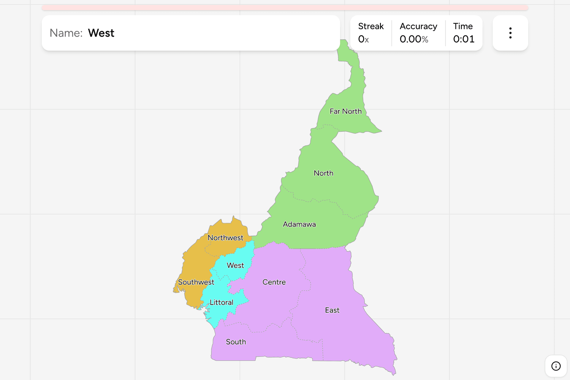
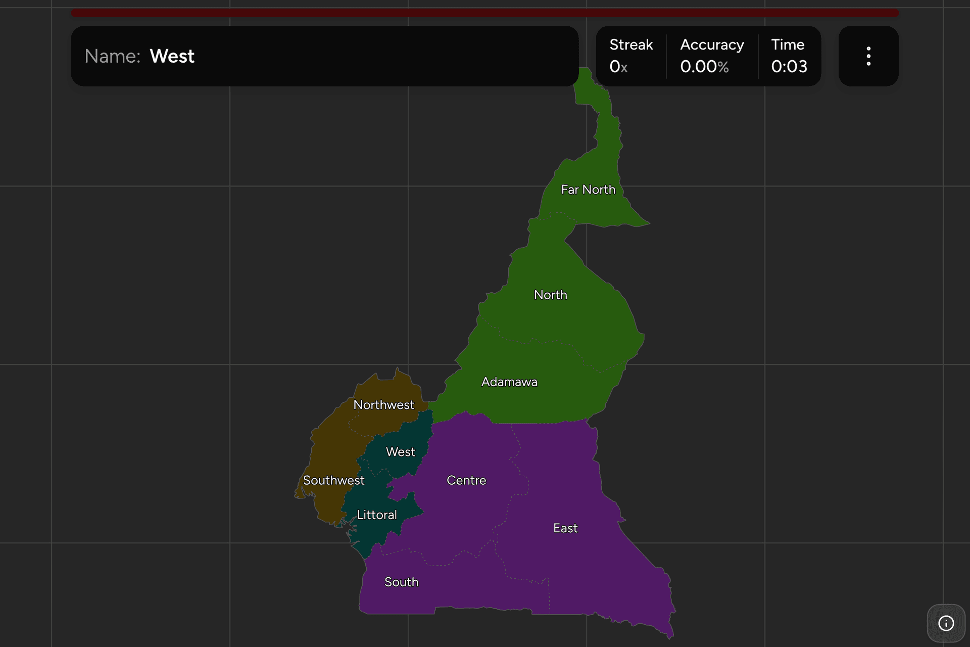
Cameroon has 10 regions, and nearly all of them are named after a compass
point, which makes the map easy to say and surprisingly easy to get wrong: the
North is not the northernmost region, the West is not the westernmost, and the
South is not the whole south. The country is officially bilingual, so every
region has an English and a French name. This page is all ten in both
languages, the four groups they fall into, and what tells you which one you are
in.
- The quiz
- Name to place, on the map
- Where it helps
- Plate codes, English or French signs, forest versus savannah
- In the game
- 10 regions
What you are looking at
The region is the top tier of Cameroon's administration. Each is run by a
governor appointed by the president and divided into departments, of which the
country has 58. The regions were called provinces until 2008, when they were
renamed without a single line on the map moving, so a map or a book that says
"province" is describing the same ten shapes.
Most of the names are directions, and the directions are relative. The
North is in the middle of the northern half, with the Far North above it. The West is a small highland region inland, and the Southwest reaches a good deal further west than it does. The South is the strip along
the borders with Equatorial Guinea and Gabon, and the East takes the whole south
east corner. Only three regions have a name that is not a direction: Adamawa,
after the plateau it sits on, Centre, which holds the capital, and Littoral, the
coast.
English or French on the signs is a clue in itself. Cameroon's two official languages are not spread evenly: the Northwest and Southwest were British
until independence and are English speaking; the other eight were French and
are French speaking. A shop sign, a church notice or a school board in English
puts you in one of two regions out of ten.
A Cameroonian plate names a region. Plates open with a two-letter code for
the region the vehicle was registered in: CE for Centre, LT for Littoral, OU for
West, NW for Northwest, and so on for all ten. Since most vehicles stay close to
home, the code at the front of the plate is one of the most direct clues the
country offers.
How to place one
- Decide north or south. The country is two landscapes. The south is
equatorial rainforest, red earth roads and tall green walls of trees; the
north, from the Adamawa plateau upwards, is savannah turning to Sahel, with
flat dry plains, thorn trees and round thatched huts. If it is dry and open,
you are in the Grand Nord.
- In the north, go by how dry it is. Adamawa is a high, green, rolling
plateau with cattle; the North is lower and hotter, along the Benue; the Far
North is the Sahel, flat and dusty, with the Mandara mountains on the
Nigerian border and Lake Chad at the top.
- In the south, look for hills. The western half of the south is
highland, the grassfields of the West and Northwest, with eucalyptus,
terraced fields and steep red hills. The Centre, South and East are rolling
forest. The coast is the Southwest, the Littoral around Douala, and the South around Kribi.
- Then check the language. English signs in the highlands are the
Northwest; English signs on the coast or under Mount Cameroon are the
Southwest. French signs in the same hills are the West.
The traps are the directions themselves.
The North is not at the top. The Far North is, and it is the narrow tail of
the country running up to Lake Chad. The North is the wide region below it,
around Garoua.
The West is not the westernmost. It is the small, densely populated highland region around Bafoussam, inland of the two anglophone regions, and the Southwest reaches more than a degree further west.
The East is huge and the South is not. The East is the largest region by a
long way, all forest, and reaches down to the borders with Congo and the Central
African Republic. The South is the band along the Gabonese and Equatorial Guinean borders, from the sea at Kribi across to the East.
Every region, by group
- Grand Nord3 regions
- Adamawa (Adamaoua), Far North (Extrême-Nord), North (Nord)
- Centre, South and East3 regions
- Centre, East (Est), South (Sud)
- West and Littoral2 regions
- Littoral, West (Ouest)
- Anglophone regions2 regions
- Northwest (Nord-Ouest), Southwest (Sud-Ouest)
Two of those groups are Cameroon's own. The Grand Nord is what the whole
country calls the three northern regions, and they were a single province, the
Nord, until it was split into Adamawa, North and Far North in 1983. The
anglophone regions are the old West Cameroon, the British half of the
federation the country was from 1961 to 1972. The other two follow the map:
Centre, South and East are the forest plateau, and the Centre and the South
were a single province, Centre-Sud, until the same 1983 split; West and
Littoral are the French speaking highlands and the coast below them, from
Bafoussam down to Douala.
Worked examples
EastThe largestEast: the whole south east of the country, from the Adamawa plateau down to
the borders with the Central African Republic and Congo, with its capital at
Bertoua. It is the largest region, close to a quarter of the country, and one
of the least populated: almost all of it is rainforest, crossed by long red
logging roads. If you are in deep forest and far from any city, this is the
likeliest answer.
WestThe smallest, and not the westernmostWest: the highlands around Bafoussam, Dschang and Foumban, and the smallest
region on the map. It is one of the most densely populated, all hills, small
farms and eucalyptus, and it looks very like the Northwest next door. The
difference is the language on the signs: French here, English there.
SouthwestEnglish speaking, and on the coastSouthwest: the coast from the Nigerian border to the estuary opposite Douala, with Mount Cameroon, the highest mountain in the country, standing over its capital,
Buea, and the beach town of Limbe at its foot. It holds the Bakassi peninsula,
handed over by Nigeria in 2008. Wet, green and volcanic, with tea and rubber
plantations, and signs in English.
Frequently asked questions
How many regions does Cameroon have?
10. Cameroon had seven provinces until 1983, when the Nord was split into Adamawa, North and Far North and Centre-Sud into Centre and South. The ten provinces were renamed regions in 2008, with no change to their borders.
What are the capitals of Cameroon's regions?
Adamawa: Ngaoundéré. Centre: Yaoundé, which is also the national capital. East: Bertoua. Far North: Maroua. Littoral: Douala, the main port and the economic capital. North: Garoua. Northwest: Bamenda. South: Ebolowa. Southwest: Buea. West: Bafoussam.
Which regions of Cameroon speak English?
The Northwest and the Southwest. They were the British administered Southern Cameroons until 1961, when they joined the former French Cameroon in a federation, and they remain the English speaking part of the country. The other eight regions are French speaking.
Do Cameroonian number plates show the region?
Yes. A Cameroonian plate opens with a two-letter code for the region the vehicle was registered in, such as CE for Centre, LT for Littoral and NW for Northwest, followed by a number and letters.
Which is the largest region of Cameroon, and which the smallest?
The East is the largest by area, close to a quarter of the country. The West is the smallest, and one of the most densely populated.
What are the regions of Cameroon called in French?
Adamaoua, Centre, Est, Extrême-Nord, Littoral, Nord, Nord-Ouest, Sud, Sud-Ouest and Ouest. Turn on the local name in the game's start dialog to play with the French names.
Which Cameroonian regions are easiest to confuse?
The ones named for directions. The North is below the Far North rather than at the top of the country, and the West is inland of the Southwest rather than the westernmost region. The West and the Northwest also look alike, both being green, hilly and densely farmed, and the language on the signs is the quickest way to tell them apart.
The other African trainers here are Nigeria States, next
door, Ghana Regions, Senegal Regions,
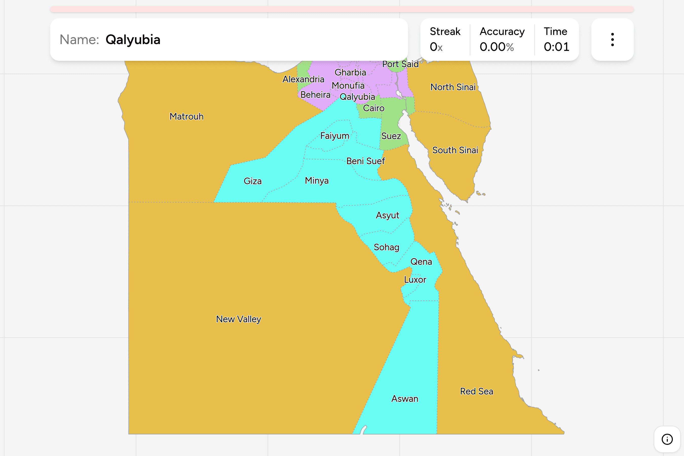
Kenya Counties, Egypt Governorates,
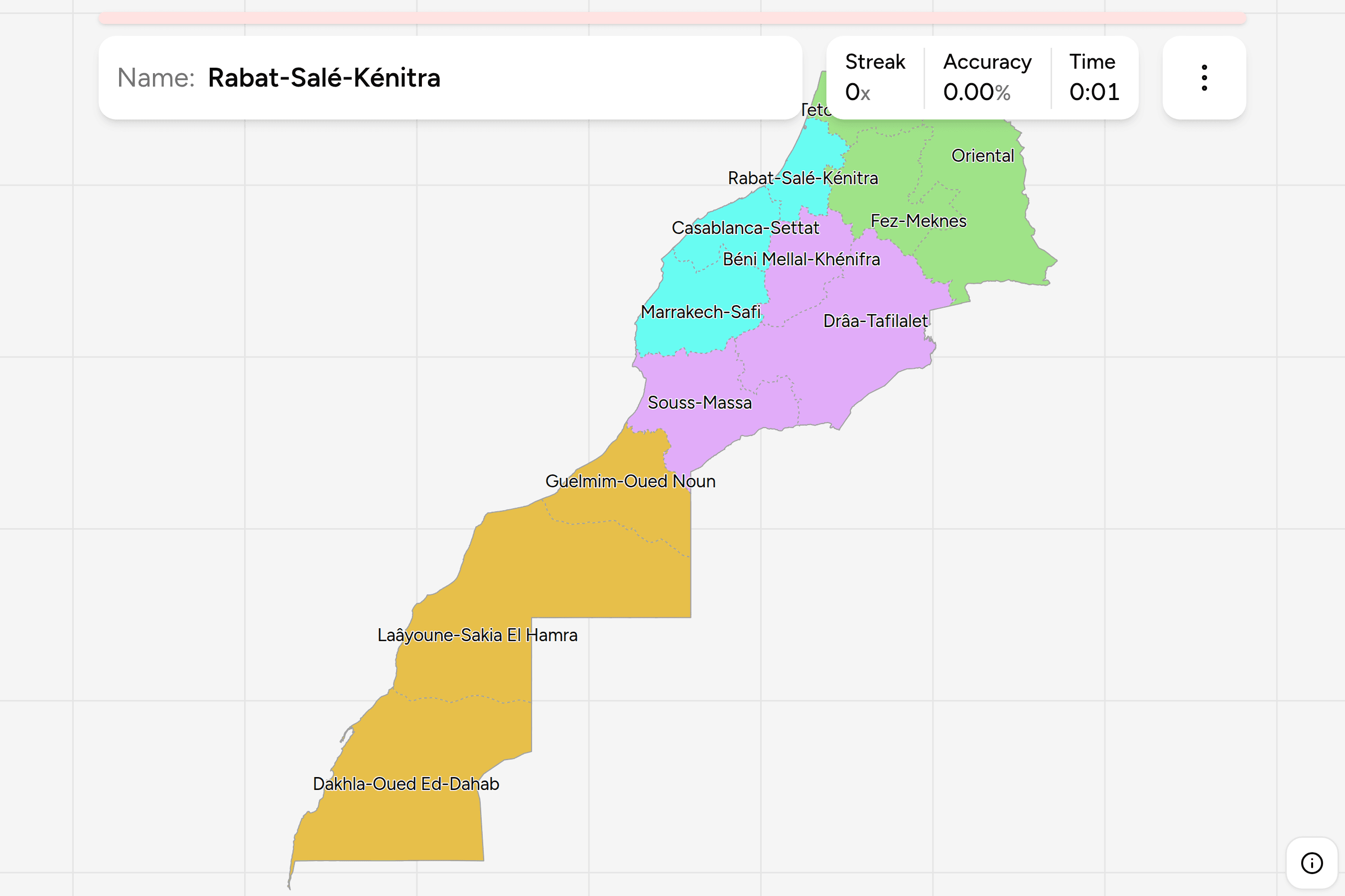
Morocco Regions, Tunisia
Governorates, South Africa
Provinces and South Africa Dialing
Codes. For a map of a similar size, try Canada
Provinces or UK Nations and Regions.
Sources