Georgia redrew its local government in 2014: 59 municipalities and five
self-governing cities. Maps from before that, and some boundary files still
published, miss the cities of Batumi, Kutaisi, Poti and Rustavi and give their
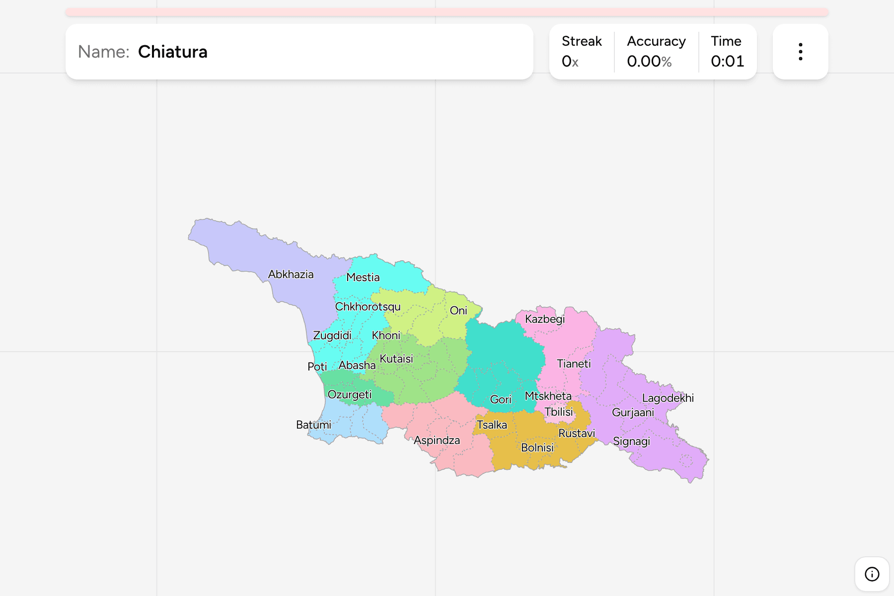
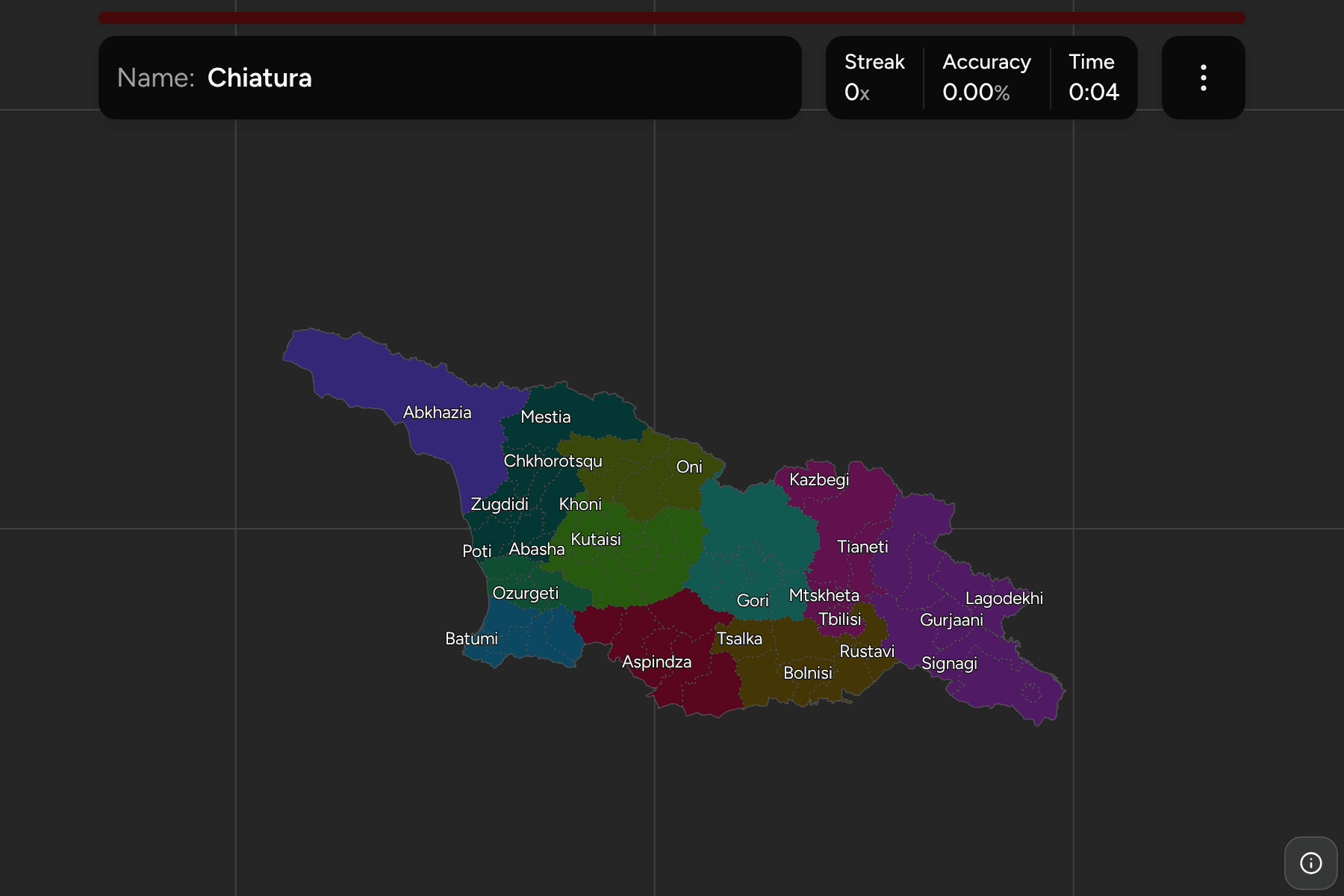
land to the municipalities around them. This game draws the current map.
- The quiz
- Name to place, on the map
- Grouped by
- The twelve regions, the same ones as the regions quiz
- In the game
- 66 municipalities
What you are looking at
Most municipalities are named for their main town, and run from the high
mountain districts of Mestia and Kazbegi down to small lowland ones in Imereti
and Guria. Tbilisi, Batumi, Kutaisi, Poti and Rustavi are cities that govern
themselves, and they are small shapes set inside the municipalities around
them: Batumi in Adjara, Poti on the coast of Samegrelo, Kutaisi in the middle of
Imereti and Rustavi south east of the capital.
Two units are not municipalities. Abkhazia and the Tskhinvali region (South
Ossetia) are outside Tbilisi's control, but they are inside Georgia's
internationally recognised borders, so each is drawn as a single target rather
than as the districts they were divided into. The Tskhinvali region is counted
in Shida Kartli.
How to place one
- Start with a region. The municipalities are grouped by region, so you can
drill one at a time. Kakheti has eight, Imereti twelve, Samegrelo-Zemo
Svaneti nine.
- Find the five cities first. They are the small ones, and the game gives
most of them a tap area.
- Follow the highway. Tbilisi, Gori, Khashuri, Zestaponi and Kutaisi line
up on the east-west road across the middle of the country.
- Leave the mountains for last. Mestia, Lentekhi, Oni and Kazbegi are long
and thin, and they sit along the northern border.
Every municipality, by region
- Imereti12 municipalities
- Baghdati, Chiatura, Kharagauli, Khoni, Kutaisi, Sachkhere, Samtredia, Terjola, Tqibuli, Tskaltubo, Vani, Zestaponi
- Kakheti8 municipalities
- Akhmeta, Dedoplistsqaro, Gurjaani, Kvareli, Lagodekhi, Sagarejo, Signagi, Telavi
- Samegrelo-Zemo Svaneti9 municipalities
- Abasha, Chkhorotsqu, Khobi, Martvili, Mestia, Poti, Senaki, Tsalenjikha, Zugdidi
- Kvemo Kartli7 municipalities
- Bolnisi, Dmanisi, Gardabani, Marneuli, Rustavi, Tetritskaro, Tsalka
- Shida Kartli5 municipalities
- Gori, Kareli, Kaspi, Khashuri, South Ossetia
- Samtskhe-Javakheti6 municipalities
- Adigeni, Akhalkalaki, Akhaltsikhe, Aspindza, Borjomi, Ninotsminda
- Adjara6 municipalities
- Batumi, Keda, Khelvachauri, Khulo, Kobuleti, Shuakhevi
- Racha-Lechkhumi and Kvemo Svaneti4 municipalities
- Ambrolauri, Lentekhi, Oni, Tsageri
- Guria3 municipalities
- Chokhatauri, Lanchkhuti, Ozurgeti
- Mtskheta-Mtianeti4 municipalities
- Dusheti, Kazbegi, Mtskheta, Tianeti
- Abkhazia1 municipality
- Abkhazia
- Tbilisi1 municipality
- Tbilisi
Worked examples
RustaviThe city that is not in the capitalRustavi is a steel town south east of Tbilisi and a self-governing city of its
own. Older boundary files fold it into Gardabani, which surrounds it on every
side, so a map without it is missing a municipality.
BatumiThe one on the coastBatumi is the capital of Adjara and a port on the Black Sea, set between
Khelvachauri and Kobuleti. It is one of the five self-governing cities.
Frequently asked questions
How many municipalities does Georgia have?
64: the capital Tbilisi, the four self-governing cities of Batumi, Kutaisi, Poti and Rustavi, and 59 municipalities. The quiz has two more targets, Abkhazia and the Tskhinvali region, so that the map has no gaps.
Why are Abkhazia and South Ossetia single targets?
Tbilisi does not run their local government, so the municipalities they were divided into are not part of the 64. They are inside Georgia's recognised borders, so the map draws each as one unit instead of leaving a hole.
For the tier above this one, see Georgia Regions.
Sources