Kiribati is about 800 square kilometres of land scattered over more than three
million square kilometres of the central Pacific, and it is the one country
that lies in all four hemispheres, because the equator and the antimeridian both
run through it. Almost every island is a coral atoll a few metres above the sea,
and each has its own island council, so the island is the unit that an address,
a ferry and a share of the national budget are all counted in.
- The quiz
- Name to place, on the map
- Grouped by
- The Gilbert, Line and Phoenix Islands
- In the game
- 24 islands
What you are looking at
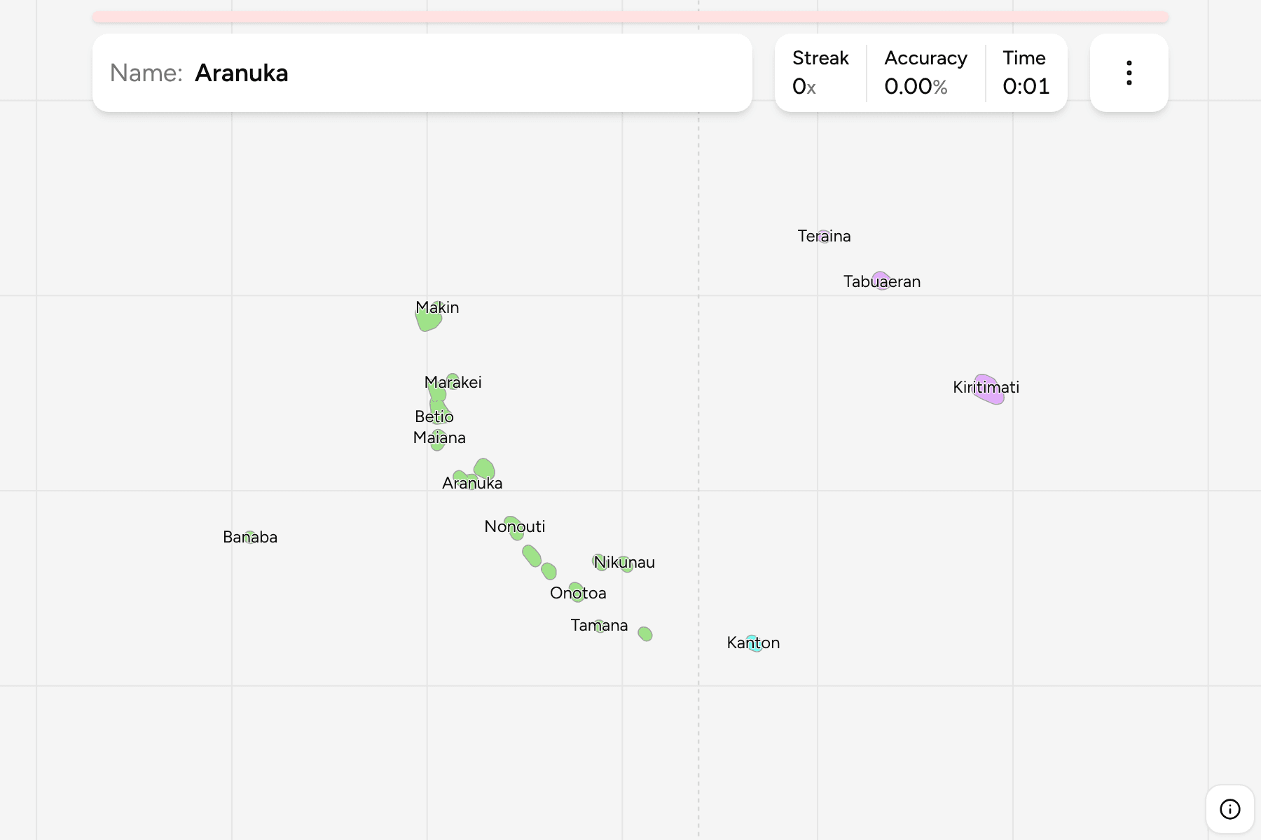
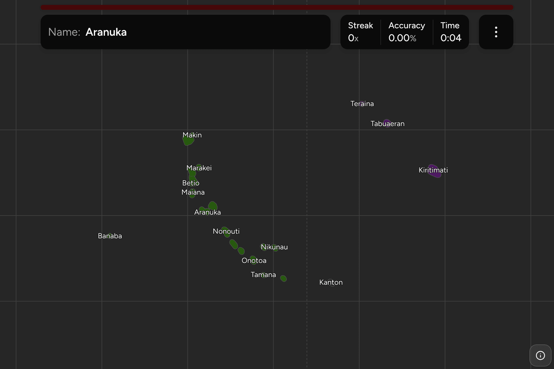
Each island is drawn as its land grown a little, because an atoll's islets are
slivers a few hundred metres wide that would not be there to point at. South
Tarawa, the capital, is split into three councils (Betio, Teinainano and Eita),
which is why one atoll supplies three answers.
The real country is about 4,000 kilometres across, and drawn where it lies the
map would be two thirds empty ocean. So the map is not to scale in one place:
the Line Islands and Kanton, which sit east of the antimeridian, are moved west
into the sea beside the Gilberts, and a line marks the seam. Their positions
relative to each other and to the equator are kept, and so are their shapes.
How to place one
- Start with the Gilberts. They are the chain that runs from Makin and
Butaritari in the north, across the equator, to Arorae in the south east,
and they hold nearly everyone in the country.
- Find South Tarawa. Betio, Teinainano and Eita make up the atoll just
north of the equator, with Abaiang to the north and Maiana to the south.
- Go south. Nonouti, the two halves of Tabiteuea, Beru, Nikunau, Onotoa,
Tamana and Arorae follow the chain down.
- Then the outliers. Banaba stands alone to the west. Behind the seam are
the Line Islands (Teraina, Tabuaeran and Kiritimati) and Kanton, the only
inhabited Phoenix island.
Every island, by group
- Gilbert Islands20 islands
- Abaiang, Abemama, Aranuka, Arorae, Banaba, Beru, Betio, Butaritari, Kuria, Maiana, Makin, Marakei, Nikunau, Nonouti, Onotoa, Tabiteuea North, Tabiteuea South, Tamana, Tarawa Eita, Tarawa Teinainano
- Line Islands3 islands
- Kiritimati, Tabuaeran, Teraina
- Phoenix Islands1 island
- Kanton
Worked examples
Tarawa TeinainanoThe capitalTeinainano is the long southern arm of Tarawa, the atoll that holds the
capital and about half of the country's people. Betio sits at its western
tip, and Eita is the northern arm.
KiritimatiThe big oneKiritimati, or Christmas Island, is the largest atoll in the world by land
area, and by itself nearly half of the country's dry land. It is one of
the Line Islands, so the map shows it behind the seam.
BanabaThe odd one outBanaba is a raised coral island rather than an atoll, far to the west of the
Gilberts, and it is grouped with them here.
Frequently asked questions
How many islands does Kiribati have on this map?
24 island council areas. Tarawa counts as three because it has three councils.
Why is the map not to scale?
Kiribati spans about 4,000 kilometres of ocean. The Line Islands and Kanton are moved west into the empty sea beside the Gilberts so that the islands are large enough to tap, and a line marks where.
Which group is Banaba in?
It is grouped with the Gilbert Islands, although it lies on its own far to the west.
Sources