Samoa is a small Pacific nation of two large islands and a few islets, halfway
between Hawaii and New Zealand. The map is worth knowing on its own terms: the
districts are traditional territories, so the lines follow old chiefly
boundaries rather than a grid, and several of them run from the coast to the
middle of an island like slices.
- The quiz
- Name to place, on the map
- Grouped by
- Upolu and its islets, and Savai'i
- In the game
- 11 districts
What you are looking at
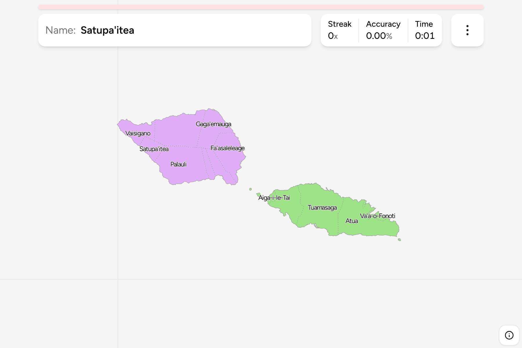
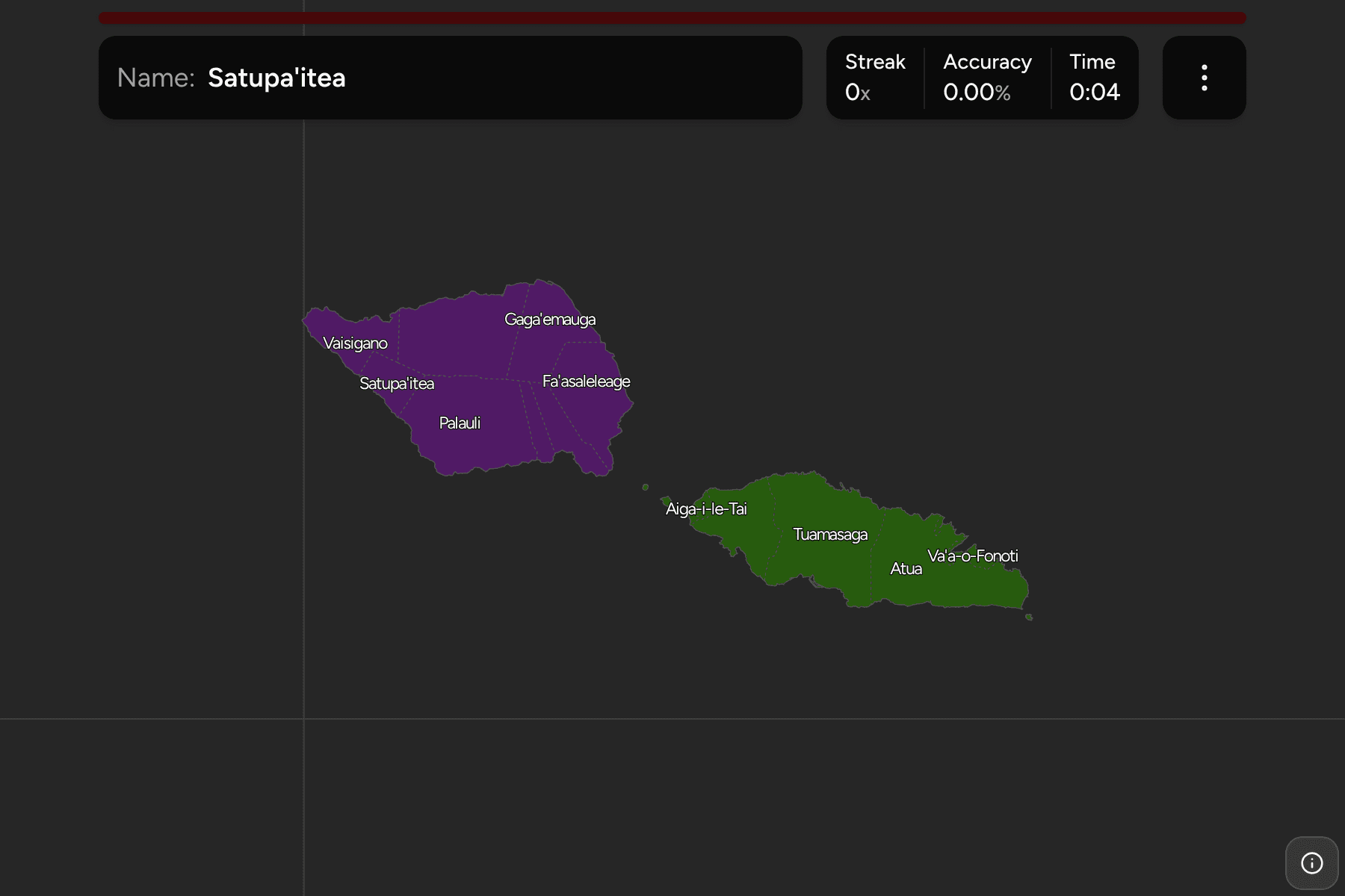
Samoa's 11 political districts, which together cover both main islands and the
two small islands between them. Savai'i, the larger island to the west, holds
six. Upolu, to the east, is home to the capital Apia and holds five, one of
which also owns Manono and Apolima, the islets in the strait.
The groups are not an official classification. They are the two main islands,
and a way to learn the map a piece at a time.
How to place one
- Split the two islands first. Everything on the western island is on
Savai'i, and everything on the eastern one is on Upolu or an islet beside it.
- On Upolu, read west to east. A'ana and Aiga-i-le-Tai are the west, Tuamasaga
is the centre around Apia, Va'a-o-Fonoti is the small district on the east
coast and Atua takes the whole of the east end.
- On Savai'i, go round the coast. Fa'asaleleage is the north east,
Gaga'emauga the north, Gaga'ifomauga the north west tip, Vaisigano and
Satupa'itea the west, and Palauli the long south side.
Every district, by group
- Upolu and its islets5 districts
- A'ana, Aiga-i-le-Tai, Atua, Tuamasaga, Va'a-o-Fonoti
- Savai'i6 districts
- Fa'asaleleage, Gaga'emauga, Gaga'ifomauga, Palauli, Satupa'itea, Vaisigano
Worked examples
AtuaThe east endAtua fills the eastern third of Upolu, and is the biggest district on that
island. Its far corner reaches the small islets off the south east coast.
Aiga-i-le-TaiThe islets in the straitAiga-i-le-Tai is a thin strip on the north west of Upolu, and it also owns
Manono and Apolima, the two small islands in the strait between the main
islands. They are small enough that they are easy to miss on the map.
PalauliThe south of Savai'iPalauli takes most of the south coast of Savai'i, the longest stretch of
coast any district on either island has.
Frequently asked questions
How many districts does Samoa have?
Eleven political districts: five on Upolu and its islets and six on Savai'i.
Why do the districts look like slices?
They follow traditional territories, which run from the coast into the interior of each island, rather than a survey grid.
Does Samoa group its districts?
Not in a way this game uses. The groups are the two main islands, and they will not match every list you find.
Sources