Papua New Guinea is the eastern half of the island of New Guinea together with
an arc of islands to the north and east: New Britain, New Ireland, Manus and
Bougainville. Its first tier is 20 provinces, the National Capital District
around Port Moresby, and the Autonomous Region of Bougainville, and this page
lists all 22. Few outsiders can place more than a handful, which makes the map
a good one to learn from scratch.
- The quiz
- Name to place, on the map
- Grouped by
- The four regions: Southern, Highlands, Momase and the Islands
- In the game
- 22 provinces
What you are looking at
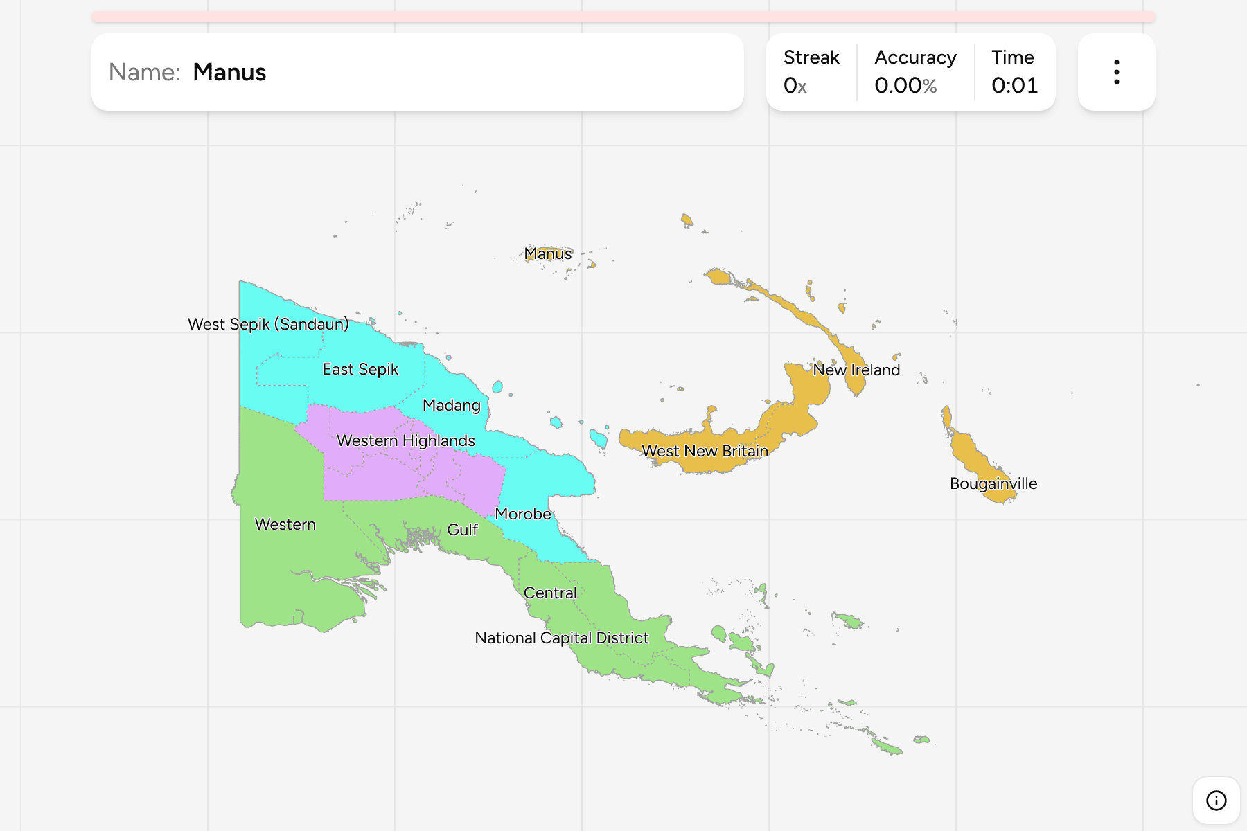
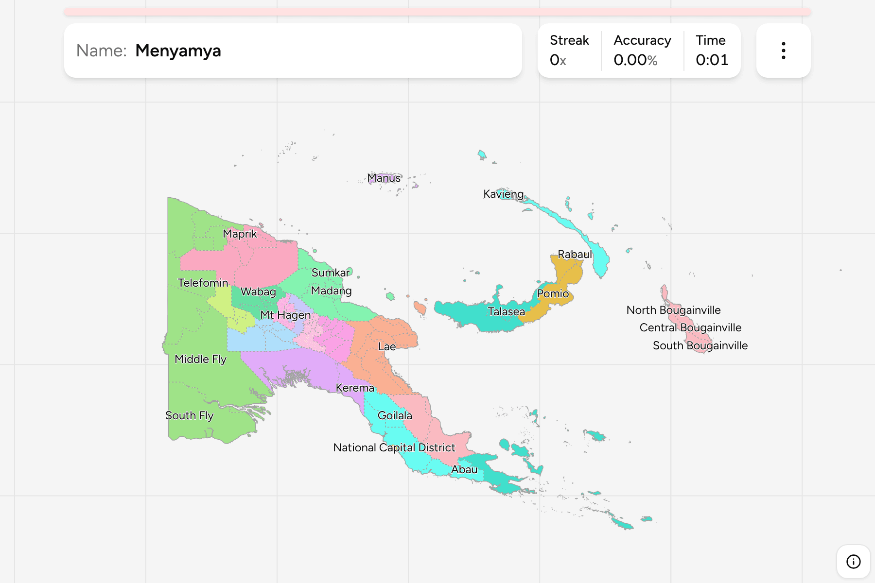
The first-level divisions of Papua New Guinea. The country is cut in two by the
central cordillera, and the Highlands, a block of seven provinces, hold
a large share of its people. The southern coast is low and swampy, with Western
and Gulf provinces taking the big river plains, while the north coast runs from
West Sepik, on the border with Indonesia, down through East Sepik, Madang and
Morobe.
Hela and Jiwaka are the newest provinces, created in 2012 out of Southern
Highlands (Hela) and Western Highlands and Chimbu (Jiwaka), and some older maps still draw the country
without them. Bougainville is an autonomous region rather than a province, and
the National Capital District is its own unit, a small patch around Port
Moresby on the Gulf of Papua. Several provinces go by two names: Chimbu is also
spelled Simbu, Northern is called Oro, and West Sepik is Sandaun.
The groups are the four regions Papua New Guinea itself uses, and they are the
way to drill the map a piece at a time. The provinces are the districts grouped,
so the two maps share every border. Each province is split up in
Papua New Guinea Districts.
How to place one
- Start with the four regions. The Islands are the easiest: Manus,
New Ireland, the two New Britains and Bougainville are all separate pieces.
- Find the island's spine. The Highlands provinces sit in the middle of the
mainland, with Enga in the west and Eastern Highlands in the east.
- Work along the north coast. West Sepik, East Sepik, Madang and Morobe
follow each other from the Indonesian border to the Huon Peninsula.
- Finish on the south. Western, Gulf, Central and Milne Bay run round the
coast, with Northern (Oro) on the other side of the Owen Stanley Range.
Every province, by region
- Southern6 provinces
- Central, Gulf, Milne Bay, National Capital District, Northern (Oro), Western
- Highlands7 provinces
- Chimbu (Simbu), Eastern Highlands, Enga, Hela, Jiwaka, Southern Highlands, Western Highlands
- Momase4 provinces
- East Sepik, Madang, Morobe, West Sepik (Sandaun)
- Islands5 provinces
- Bougainville, East New Britain, Manus, New Ireland, West New Britain
Worked examples
National Capital DistrictThe capital, inside another provincePort Moresby is not in a province at all. The National Capital District is a
small unit on the Gulf of Papua, and Central Province wraps around it.
WesternThe big one in the south westWestern Province is the largest by area, a flat, wet plain drained by the Fly
River that runs up to the Indonesian border.
Frequently asked questions
How many provinces does Papua New Guinea have?
20, plus the National Capital District and the Autonomous Region of Bougainville, which are counted beside them as first-level divisions. Hela and Jiwaka, created in 2012, are the newest.
Why do some provinces have two names?
Chimbu is also written Simbu, Northern is known as Oro, and West Sepik is Sandaun. The quiz shows both where they differ.
What is below the province?
The districts, which number 87. They are their own quiz.
The tier below this one is Papua New Guinea Districts.
For another country at this level in the Pacific, see
New Zealand Regions.
Sources