Niger is the largest country in West Africa, and more than half of it is one
region. Agadez covers the Aïr mountains and the Ténéré desert and is larger than
the other seven put together, while almost everyone lives in the Sahel and the
river valley of the south. The regions are the first tier of the country, and a
short list to learn.
- The quiz
- Name to place, on the map
- Grouped by
- An unofficial cut: the west, the centre, the east and the north
- In the game
- 8 regions
What you are looking at
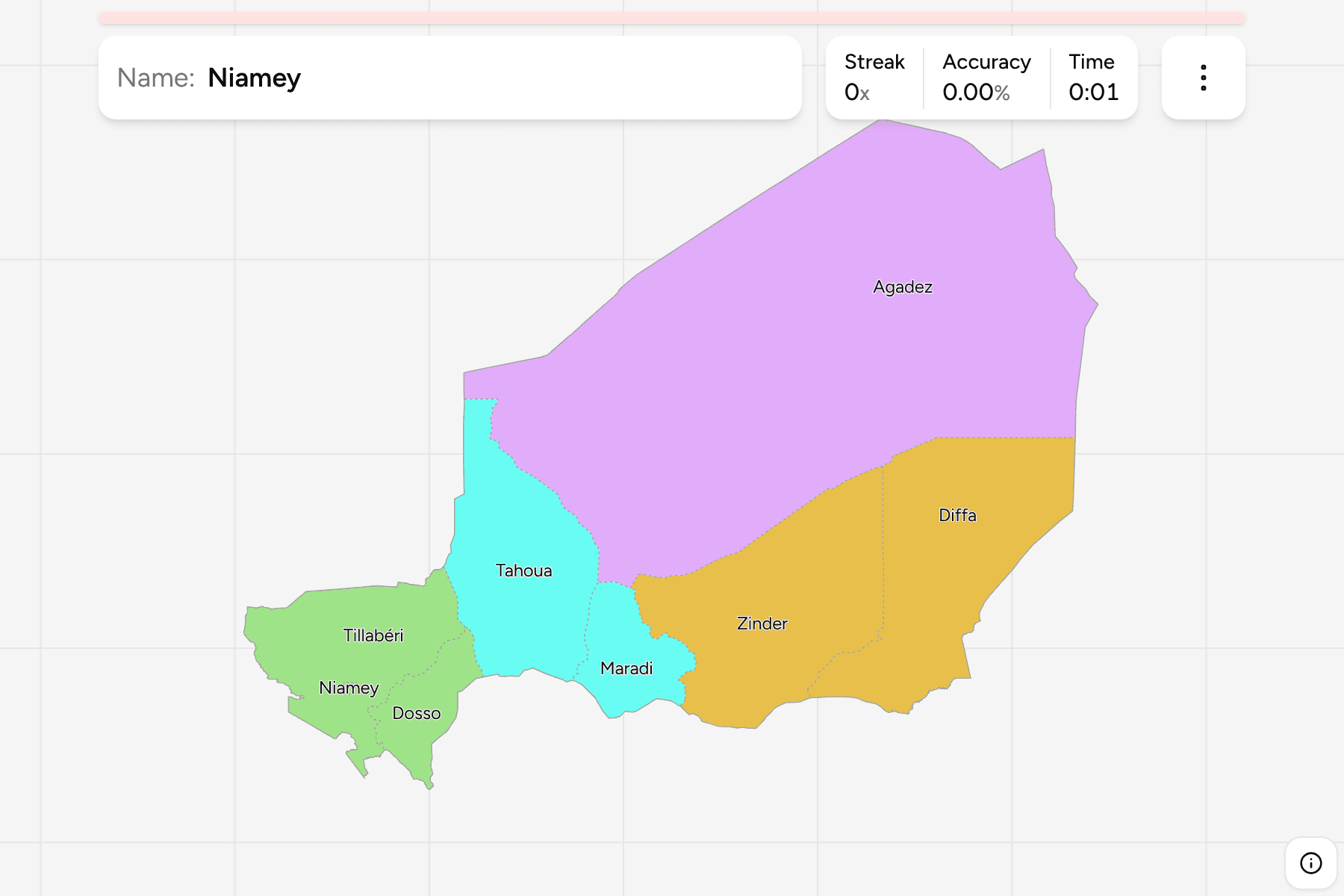
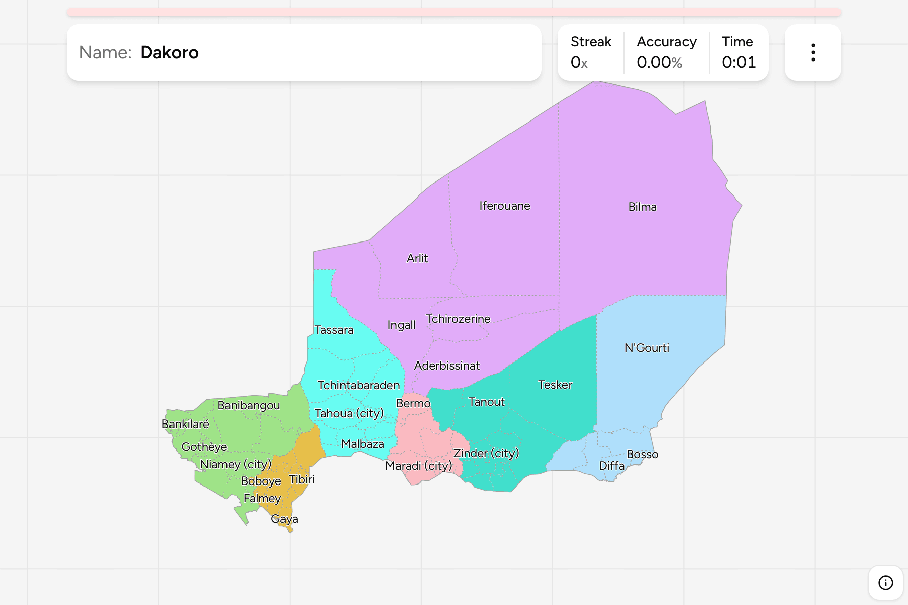
The seven regions of Niger and the capital district of Niamey, which has the
rank of a region and is a speck on the map. Six of the regions are named for
their capital, a town of the same name, and the seventh, Tillabéri, curls round
Niamey on the river.
Agadez is the exception to everything: it is the huge northern region that
touches Libya, Algeria and Chad. The other regions are a band of similar sized
pieces across the south, from Tillabéri on the Mali border to Diffa on Lake
Chad.
There is no official grouping above the regions, so the groups are an
unofficial cut of the map into the west along the river, the centre, the east
and the Saharan north. They are a way to learn the map one piece at a time, not
a classification. The regions are the Niger Departments
grouped, so the borders of the two maps match exactly.
How to place one
- Start with Agadez. It is the whole north and more than half the map.
- Cross the south from west to east. Tillabéri, Dosso, Tahoua, Maradi,
Zinder and Diffa follow each other along the Nigerian border.
- Find Niamey on the river. It is a tap area on the map, in the south west
inside Tillabéri.
Every region, by group
- West3 regions
- Dosso, Niamey, Tillabéri
- North1 region
- Agadez
- Centre2 regions
- Maradi, Tahoua
- East2 regions
- Diffa, Zinder
Worked examples
AgadezThe biggest of themAgadez is over 600,000 square kilometres, about 52 percent of the country, and
almost all of it is desert.
NiameyThe smallest of themNiamey is the capital district, about 560 square kilometres on the river and
surrounded by Tillabéri. It gets a tap area on the map.
DiffaThe one at the far endDiffa is the south east corner of the country, on the shore of Lake Chad and
the Nigerian border.
Frequently asked questions
How many regions does Niger have?
Eight on this map: seven regions and the capital district of Niamey.
Why is Agadez so large?
It holds the Sahara part of the country, where few people live, so it was never divided further.
What is below the region?
The departments, which number 67 on this map, counting four cities with a special status. They are their own quiz.
The tier below this one is Niger Departments. For another
country at this level, see Madagascar Regions.
Sources