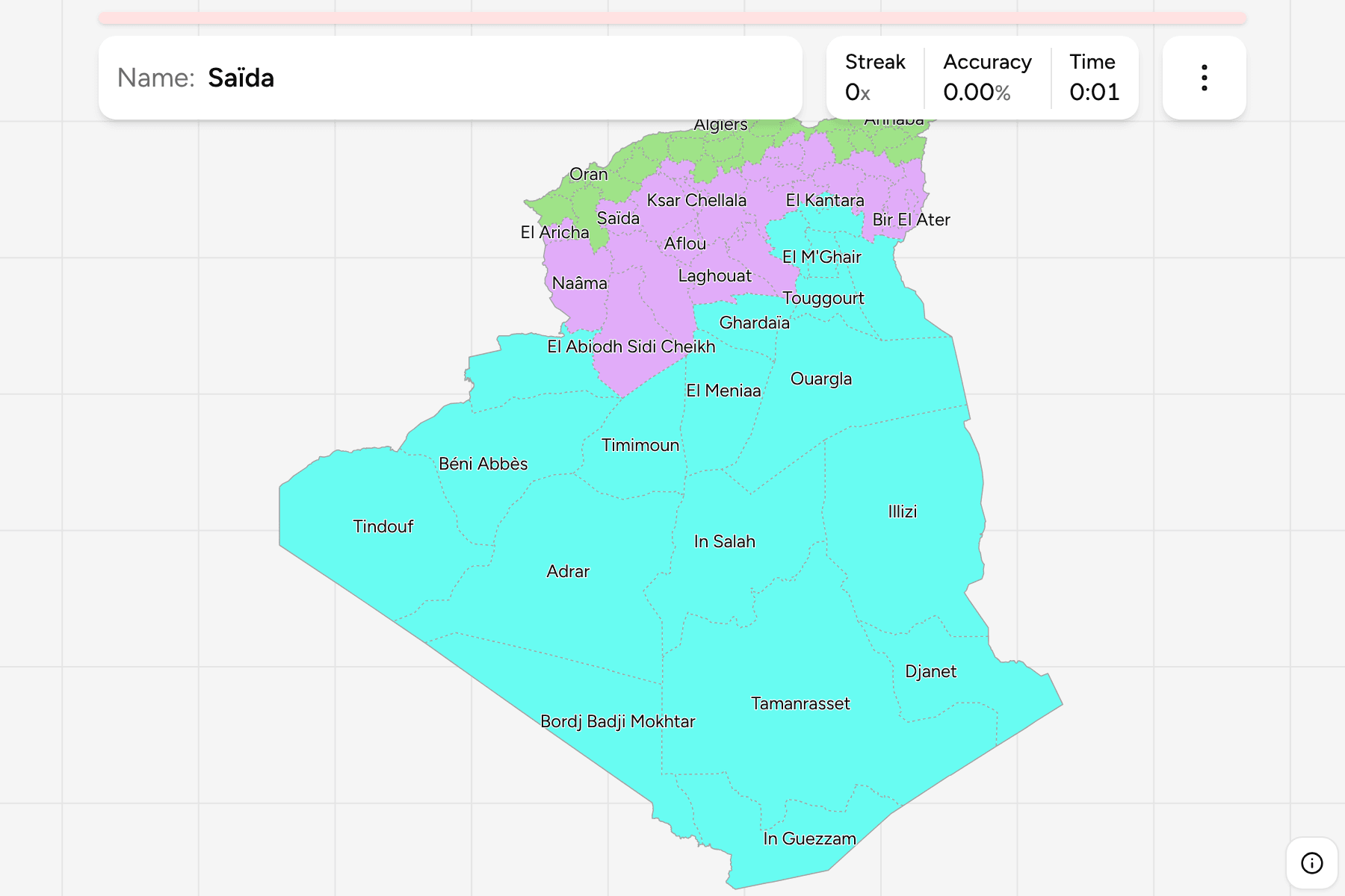
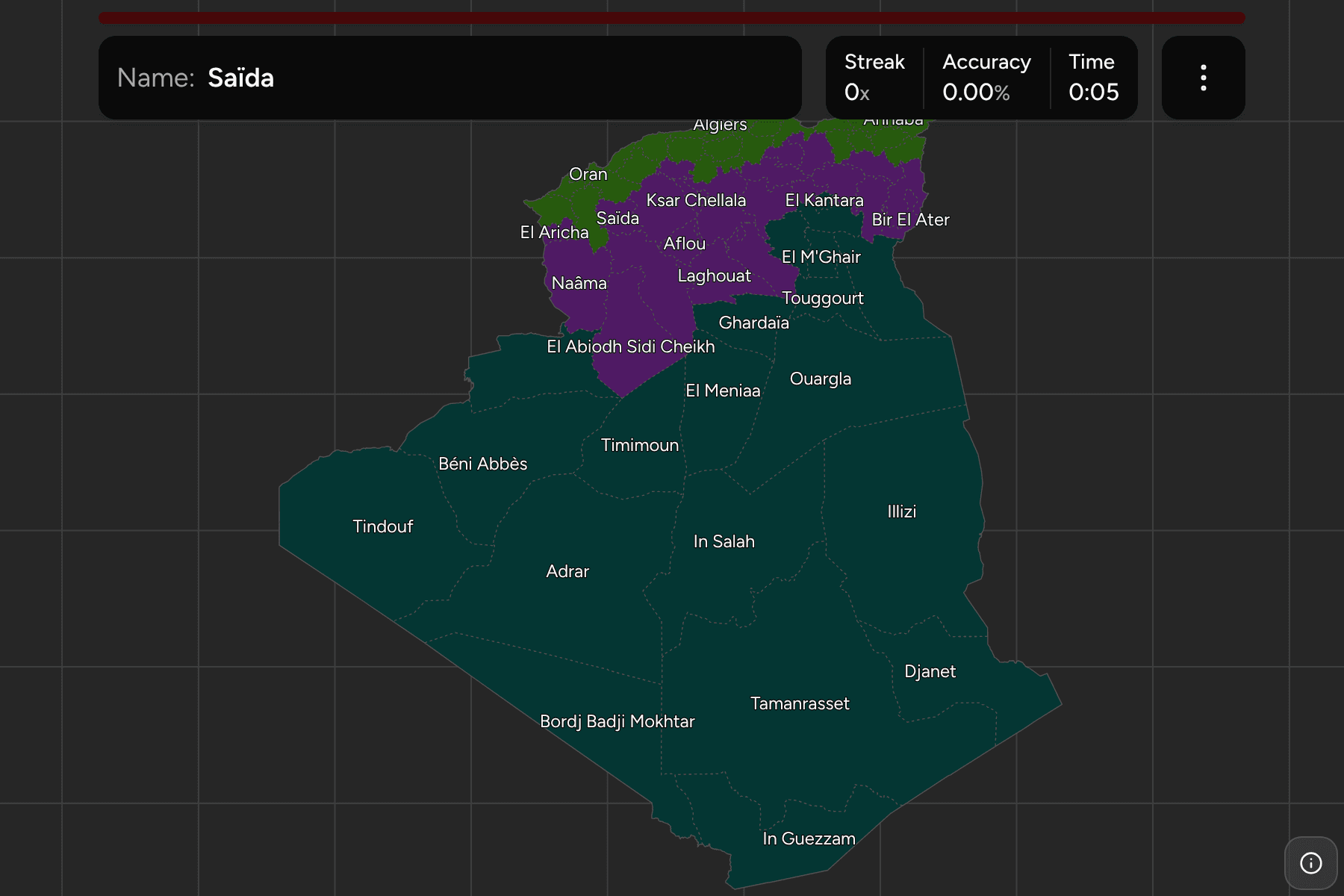
Algeria is the largest country in Africa, and its map has changed twice in
a few years. Ten wilayas were created in 2019 and eleven more in April 2026,
which took the count from 58 to 69. The boundary files that most quizzes still
use stop at 48, so this game draws the 69 of today.
- The quiz
- Name to place, on the map
- Grouped by
- The Tell, the High Plateaux and the Sahara
- In the game
- 69 provinces
What you are looking at
The 69 wilayas (provinces), the first level of Algerian government. Each is
named after its chef-lieu, and each is run by a wali the president appoints.
Almost all of the people live in the strip along the Mediterranean, which is
why the north is a crowd of small wilayas and the south is a few enormous ones.
The game groups them in three bands that Algerian planning speaks of: the Tell
along the coast, the High Plateaux behind it, and the Sahara. A wilaya belongs
to the band its chef-lieu lies in, so one that was cut out of another follows
its own capital rather than its parent.
How to place one
- Start with the coast. The Tell is a row of narrow wilayas, from Tlemcen
by the Moroccan border to El Tarf by the Tunisian one, and Algiers is a
small one in the middle.
- Find the High Plateaux behind them. Tiaret, Djelfa, M'Sila and Batna sit
in a band across the steppe, and the eleven newest wilayas are mostly cut
from this band and the edge of the Sahara.
- Treat the Sahara as a few big shapes. Tamanrasset, Adrar, Illizi and
Tindouf fill the south and the west, and the 2019 wilayas were carved out of
them.
- Leave the newest for last. The 2026 wilayas are the ones an older map
does not have, and most sit on the High Plateaux, cut from the wilayas
around them.
Every province, by band
- North (the Tell)26 provinces
- Aïn Defla, Aïn Témouchent, Algiers, Annaba, Béjaïa, Blida, Bouira, Boumerdès, Chlef, Constantine, El Tarf, Guelma, Jijel, Ksar El Boukhari, Mascara, Médéa, Mila, Mostaganem, Oran, Relizane, Sidi Bel Abbès, Skikda, Souk Ahras, Tipaza, Tizi Ouzou, Tlemcen
- High Plateaux23 provinces
- Aflou, Aïn Ouessara, Barika, Batna, Bir El Ater, Bordj Bou Arreridj, Bou Saâda, Djelfa, El Abiodh Sidi Cheikh, El Aricha, El Bayadh, Khenchela, Ksar Chellala, Laghouat, M'Sila, Messaad, Naâma, Oum El Bouaghi, Saïda, Sétif, Tébessa, Tiaret, Tissemsilt
- South (the Sahara)20 provinces
- Adrar, Béchar, Béni Abbès, Biskra, Bordj Badji Mokhtar, Djanet, El Kantara, El M'Ghair, El Meniaa, El Oued, Ghardaïa, Illizi, In Guezzam, In Salah, Ouargla, Ouled Djellal, Tamanrasset, Timimoun, Tindouf, Touggourt
Worked examples
TamanrassetThe biggest of themTamanrasset fills the far south, down to the borders of Mali and Niger, and
is still the largest wilaya after In Guezzam and Bordj Badji Mokhtar were
taken out of it.
AlgiersThe smallest of themAlgiers is the capital and the smallest wilaya, a patch of coast between
Boumerdès and Tipaza. At the size the whole country fits it is a few pixels
wide, which is why the game gives it a tap area.
AflouThe newest of themAflou is one of the wilayas of 2026, cut from Laghouat, and lies on the High
Plateaux to its north-west.
Frequently asked questions
How many provinces does Algeria have?
69. There were 48 until 2019, when ten were added, and Law 26-06 of April 2026 added eleven more, so maps from before that show 48 or 58.
Are the three bands a level of government?
No. The Tell, the High Plateaux and the Sahara are geographic and planning terms, which is why the game uses them as groups rather than as a quiz of their own.
Why does the game show Arabic names?
Arabic is the first official language. The French spelling most maps use is shown by default, and the Arabic form is a switch in the start dialog.
Sources