Eritrea is a long wedge of the Horn of Africa between Sudan, Ethiopia and
Djibouti, with a Red Sea coast of more than a thousand kilometres. Since 1995 it
has been divided into six regions (zobas), which are the units its
administration, its census and its maps are organised around. They cover the
country without a gap, the Dahlak Archipelago included.
- The quiz
- Name to place, on the map
- Grouped by
- The highlands and the west, and the Red Sea coast
- In the game
- 6 regions
What you are looking at
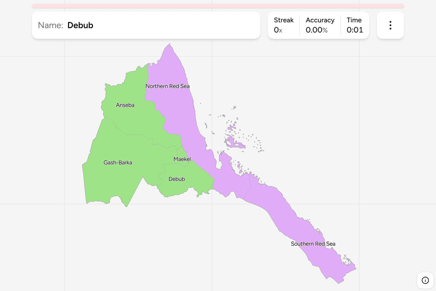
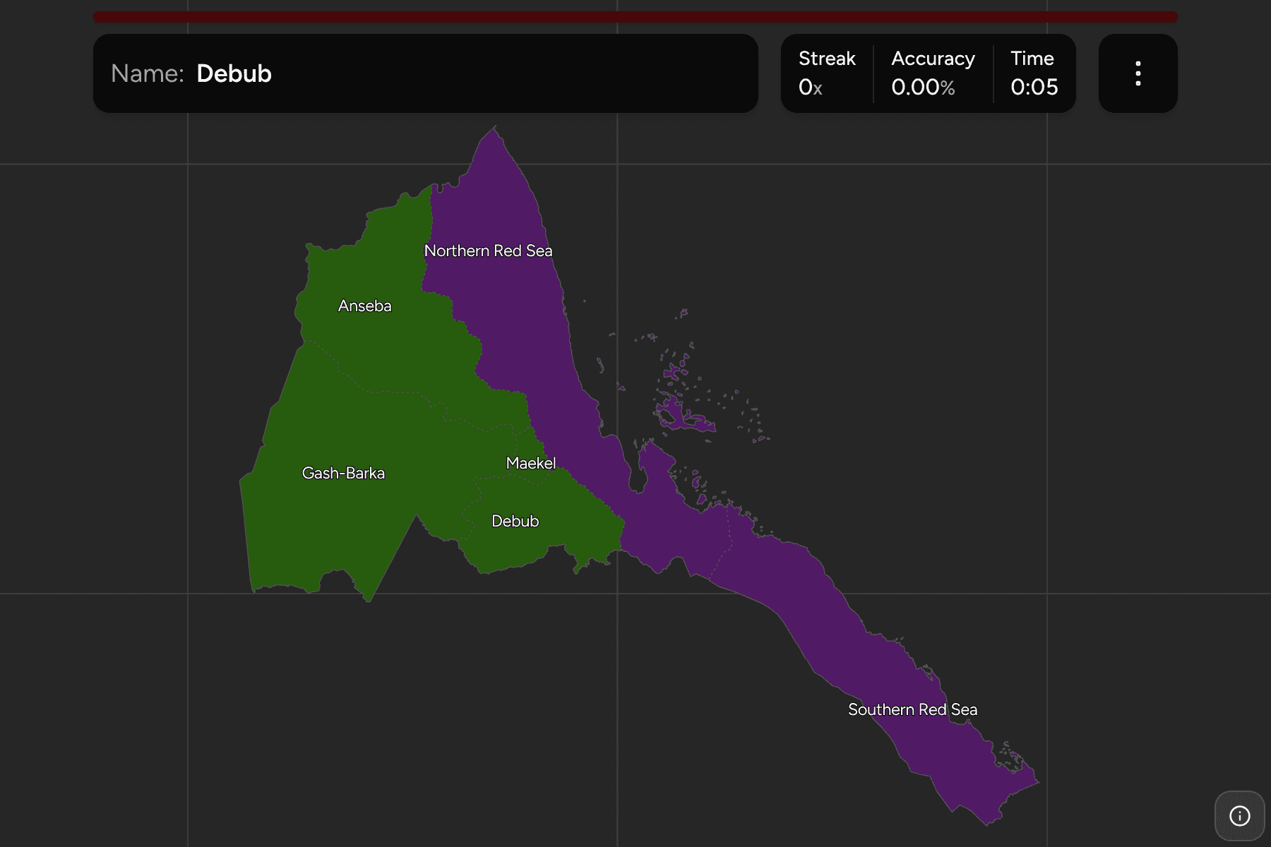
The six regions of today, named in their usual English spelling. The capital's
region, Maekel, is the smallest by a wide margin and sits in the middle of the
highlands, wrapped by Anseba to the north west, Debub to the south and the
Northern Red Sea to the east. Gash-Barka fills the whole west, bordering Sudan
and Ethiopia. The two Red Sea regions share the coast: one above Massawa, one
running down the Danakil depression to the border with Djibouti.
The groups are not an official classification. They split the country the way it
is usually described, the cool highlands and the lowlands to the west on one
side and the hot Red Sea coast on the other, and are a way to learn the map a
piece at a time.
How to place one
- Start with Maekel. It is the small region in the middle of the country,
and every other name is easiest to find relative to it.
- Look at what wraps it. Anseba lies to its north west, Debub to its south,
and the Northern Red Sea to its east.
- Go west. Gash-Barka is the largest block on the map and runs from the
northern edge of the Debub region out to the Sudanese border.
- Follow the coast down. The Northern Red Sea holds the coast and most of
the islands, and the Southern Red Sea is the long thin region that carries on
to the Djibouti border.
Every region, by group
- Highlands and west4 regions
- Anseba, Debub, Gash-Barka, Maekel
- Red Sea coast2 regions
- Northern Red Sea, Southern Red Sea
Worked examples
MaekelThe capitalMaekel is the small central region that holds Asmara. It touches only three
other regions and never reaches the coast.
Southern Red SeaThe Danakil coastThe Southern Red Sea is the narrow south eastern region, a strip of coast and
desert that runs down to the border with Djibouti and ends at the port of
Assab.
Gash-BarkaThe westGash-Barka is the biggest region, filling the lowlands of the west up to the
Sudanese border, with Anseba above it and Debub to the east.
Frequently asked questions
How many regions does Eritrea have?
Six, and together they cover the whole country, so the game has no territory outside them.
Why is it Debub and not Southern?
Debub is the Tigrinya word for south, and it is the name the region goes by in English as well. The game uses it, as the Northern and Southern Red Sea regions use their English names.
Does Eritrea group its regions?
Not in a way this game relies on. The two groups here are how the country is commonly described, and they will not match every list you find.
Sources