Burundi is one of the smallest countries in Africa, and since 2025 one of the
simplest to learn: its 18 provinces were merged into five. Most maps and
guidebooks still show the old list, so a round here is easy to lose to a
province name that did not exist a few years ago.
- The quiz
- Name to place, on the map
- Grouped by
- Where they sit: the west and south, and the north, centre and east
- In the game
- 5 provinces
What you are looking at
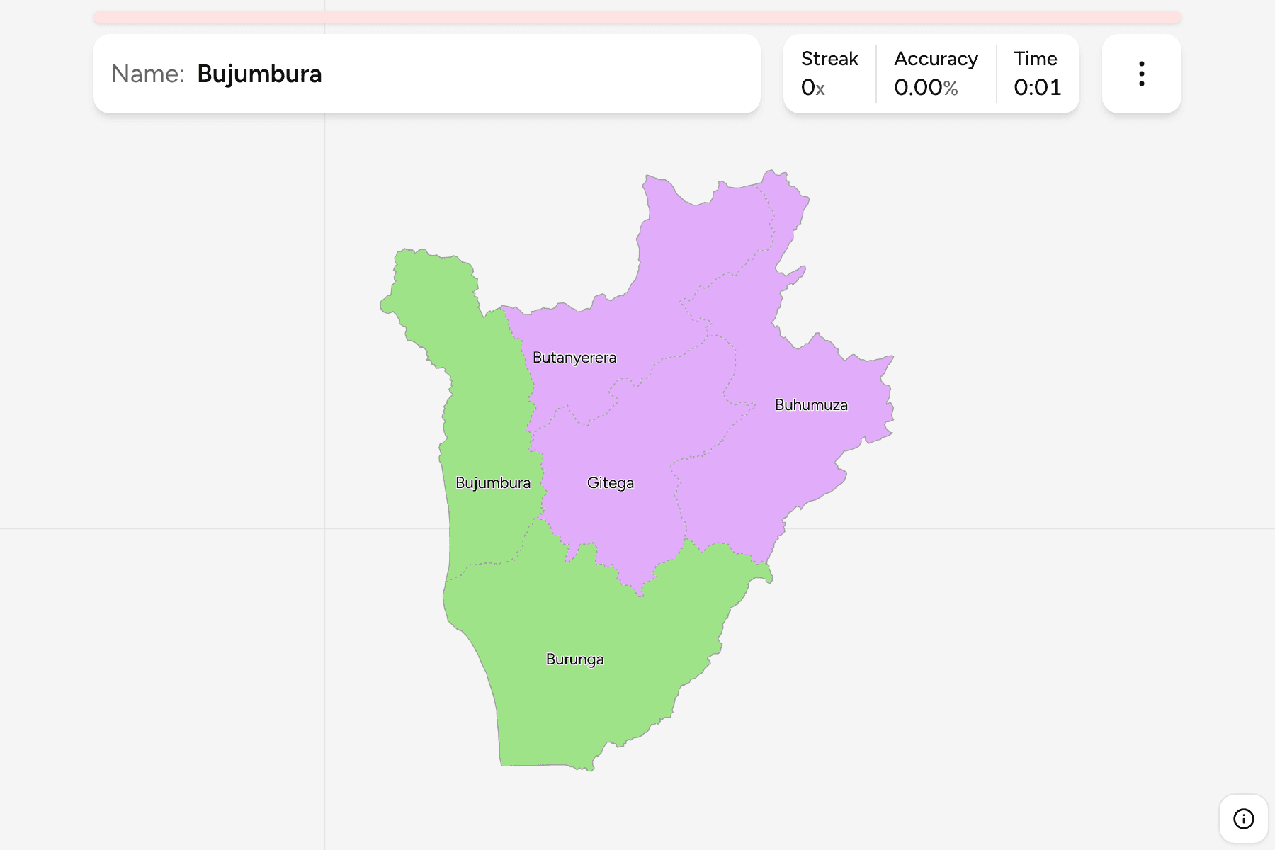
The five provinces of Burundi, as the 2025 reform drew them: Buhumuza,
Bujumbura, Burunga, Butanyerera and Gitega. Each is a block of the old ones, so
the map is five wide pieces rather than the many narrow ones an older atlas
shows. Gitega holds the political capital, and Bujumbura, on the shore of Lake
Tanganyika, the largest city.
Burunga is the biggest, running down the whole south and west side of the
country, with Lake Tanganyika on its western edge. Bujumbura is the smallest, a
western province wedged between the lake, the Congolese border and the
provinces to the east.
The groups are informal. Burundi has no tier between its provinces and the
country, so the groups are an unofficial cut into two parts of the map, to drill
it a piece at a time. The borders of the provinces match those of the
Burundi Communes exactly.
How to place one
- Start with Burunga. It is the largest, and it takes the whole south.
- Put Bujumbura on the lake. It is the province on the western edge, north
of Burunga.
- Take the north next. Butanyerera is the province along the border with
Rwanda.
- Fill the middle and the east. Gitega is the centre of the country, and
Buhumuza is the province along the Tanzanian border.
Every province, by group
- West and South2 provinces
- Bujumbura, Burunga
- North, Centre and East3 provinces
- Buhumuza, Butanyerera, Gitega
Worked examples
BurungaThe biggest of themBurunga is the largest province, covering the south and the south west of the
country, including the shore of Lake Tanganyika south of the capital.
BujumburaThe smallest of themBujumbura is the smallest province, on the north eastern shore of Lake
Tanganyika, and the one that holds the country's largest city.
GitegaThe one in the middleGitega sits at the centre of the country on the plateau, and its town has been
the political capital since 2019.
Frequently asked questions
How many provinces does Burundi have?
Five since the 2025 reform, which merged the 18 provinces that older maps show.
Are the groups official?
No. There is no tier between the provinces and the country, so the groups are an informal way to split the map into two parts.
What is below the province?
The communes, which number 42 on this map. They are their own quiz.
The tier below this one is Burundi Communes. For another
country at this level, see Rwanda Provinces.
Sources