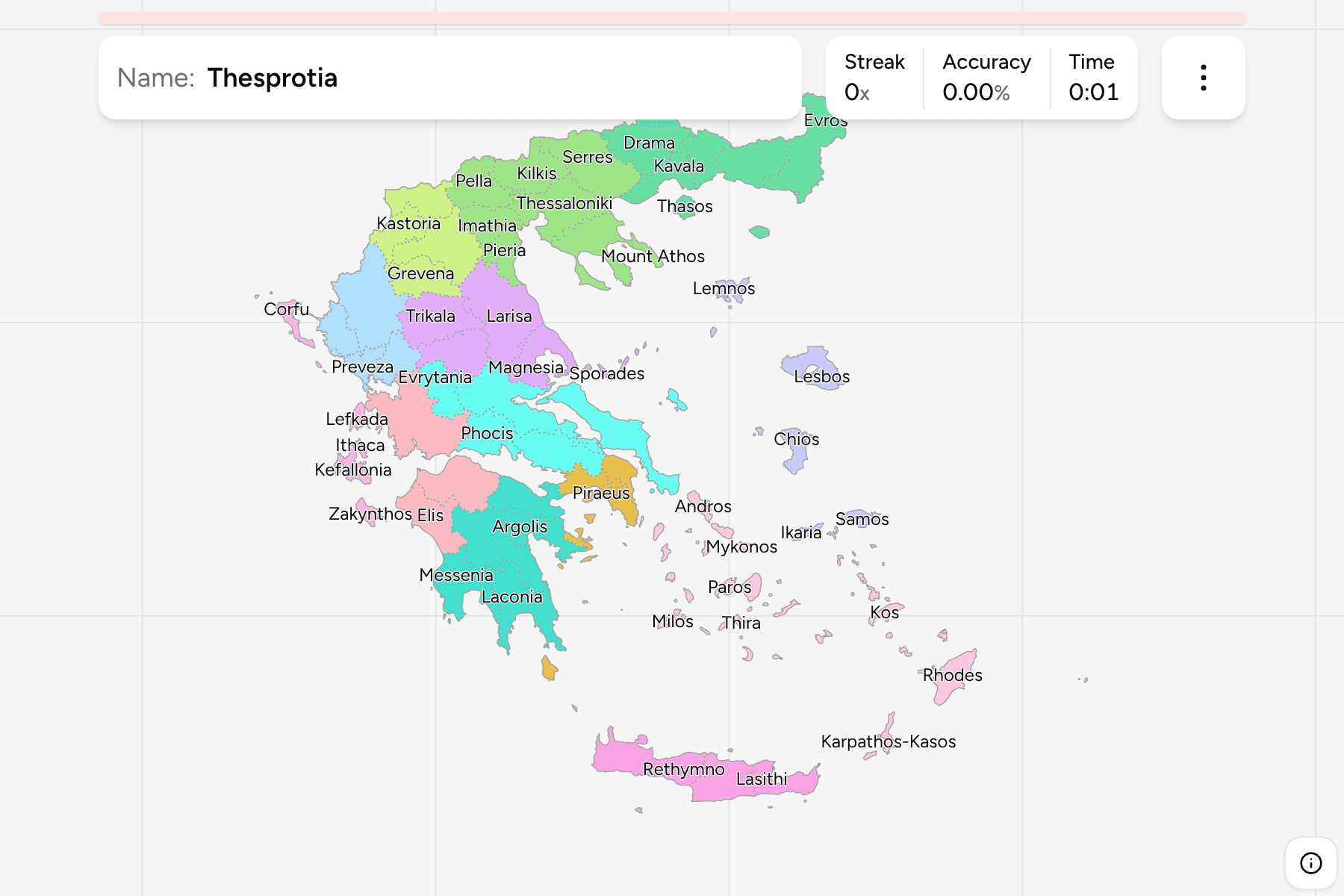
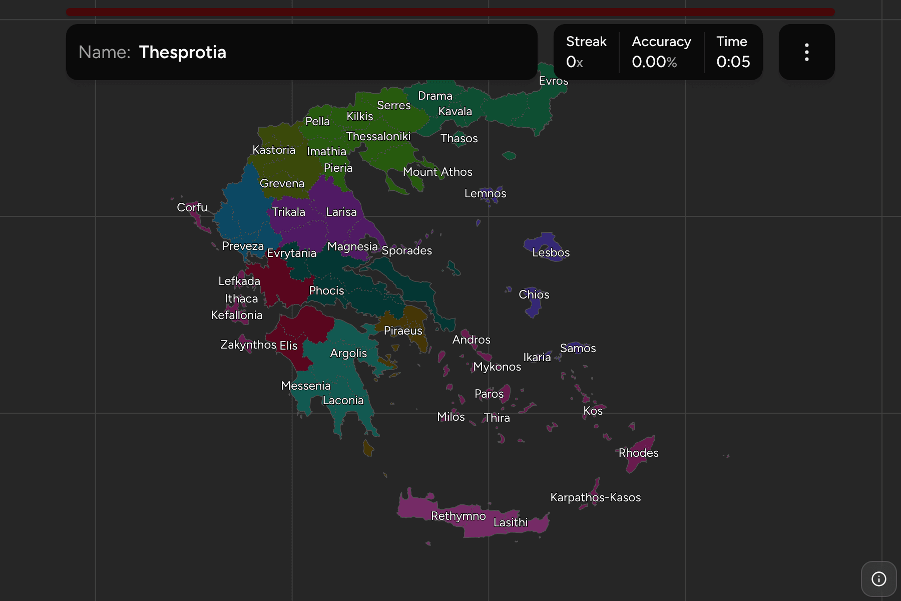
A Greek region narrows a round down to a corner of the country, and the regional
unit is the tier that names a place. There are 74 of them, plus Mount Athos, from
the four that make up Crete to the thirteen that scatter across the Cyclades and
the Dodecanese. Most of them are named after the prefecture they replaced, and the
prefecture's name is what a road sign still says.
- The quiz
- Name to place, on the map
- Grouped by
- Region: all thirteen, from Attica to the South Aegean
- In the game
- 75 regional units
What you are looking at
The Perifereiakés Enótites that the 2011 Kallikratis reform drew, which replaced
the 54 prefectures: 74 regional units and Mount Athos, which belongs to none of
them. The reform cut the old prefecture of Athens and Piraeus
into eight units, so the capital is five small shapes (the north, west, central and
south sectors of Athens, and Piraeus) with the Islands, East Attica and West Attica
around them. The Athenian ones are too small to tap at the scale of the country;
the smallest of each cluster has its tap area widened beyond its shape, and the
rest are there when you zoom in.
On the islands the units follow the archipelagos. Some are a single island, such
as Corfu, Lesbos, Chios, Samos and Naxos, and some are several: Kea-Kythnos,
Karpathos-Kasos and the Sporades are each a unit made of islands that share a
name. The Islands unit in Attica is the odd one, because it is Aegina, Hydra,
Kythira and the rest, which are not next to each other at all.
The groups are the regions, so the game lets you drill them one at a time. The
South Aegean has the most units, 13, and Western Greece the fewest, three. Mount
Athos goes with Central Macedonia, where Eurostat files it. Each region answers
under the same name in Greece Regions.
How to place one
- Pick one region and learn it. Western Greece has three units and Crete
four, which makes them the shortest rounds to start on.
- Learn Attica as a ring. Athens is the small shapes in the middle, Piraeus
the port beside them, and East Attica and West Attica the larger areas to
either side.
- Follow the coast in the north. Evros, Rhodope, Xanthi, Kavala and Drama
run west along the Thracian coast, and Thasos is the island just off it.
- Read the Cyclades as a map of the sea. Andros, Tinos, Mykonos, Syros,
Paros, Naxos, Milos and Thira each have their own unit, and Kea-Kythnos is the
pair closest to Attica.
Every regional unit, by region
- Central Macedonia8 regional units
- Chalkidiki, Imathia, Kilkis, Mount Athos, Pella, Pieria, Serres, Thessaloniki
- Thessaly5 regional units
- Karditsa, Larisa, Magnesia, Sporades, Trikala
- Central Greece5 regional units
- Boeotia, Euboea, Evrytania, Phocis, Phthiotis
- Attica8 regional units
- Central Athens, East Attica, Islands, North Athens, Piraeus, South Athens, West Athens, West Attica
- Peloponnese5 regional units
- Arcadia, Argolis, Corinthia, Laconia, Messenia
- Western Greece3 regional units
- Achaea, Aetolia-Acarnania, Elis
- Epirus4 regional units
- Arta, Ioannina, Preveza, Thesprotia
- Western Macedonia4 regional units
- Florina, Grevena, Kastoria, Kozani
- Eastern Macedonia and Thrace6 regional units
- Drama, Evros, Kavala, Rhodope, Thasos, Xanthi
- Ionian Islands5 regional units
- Corfu, Ithaca, Kefallonia, Lefkada, Zakynthos
- Northern Aegean5 regional units
- Chios, Ikaria, Lemnos, Lesbos, Samos
- South Aegean13 regional units
- Andros, Kalymnos, Karpathos-Kasos, Kea-Kythnos, Kos, Milos, Mykonos, Naxos, Paros, Rhodes, Syros, Thira, Tinos
- Crete4 regional units
- Chania, Heraklion, Lasithi, Rethymno
Worked examples
PiraeusThe smallest of themPiraeus is the port of Athens, and the smallest regional unit on the map by a
wide margin. It is the one that most needs a tap area.
LarisaThe biggest of themLarisa is the largest regional unit by land, a plain in the middle of Thessaly
that runs from the Vale of Tempe to the foothills of the Pindus.
IslandsThe one that is not a placeThe Islands unit of Attica is Aegina, Hydra, Poros, Spetses, Kythira and
Antikythera. Kythira is far to the south of the others, so this is the answer
that has to be learned as a list of dots rather than as a shape.
Frequently asked questions
How many regional units does Greece have?
74, since the Kallikratis reform of 2011. Mount Athos is a self-governing monastic state and is not part of any of them, but it is on the map as a 75th answer.
What happened to the prefectures?
The 54 prefectures were abolished in 2011. Most regional units kept the prefecture's name and the same land, and the biggest change is Attica, which was one prefecture and is now eight units.
Why do some units have two names?
Kea-Kythnos and Karpathos-Kasos each combine two island groups that were separate municipalities, and the unit takes both names.
The tier above this one is Greece Regions. For another
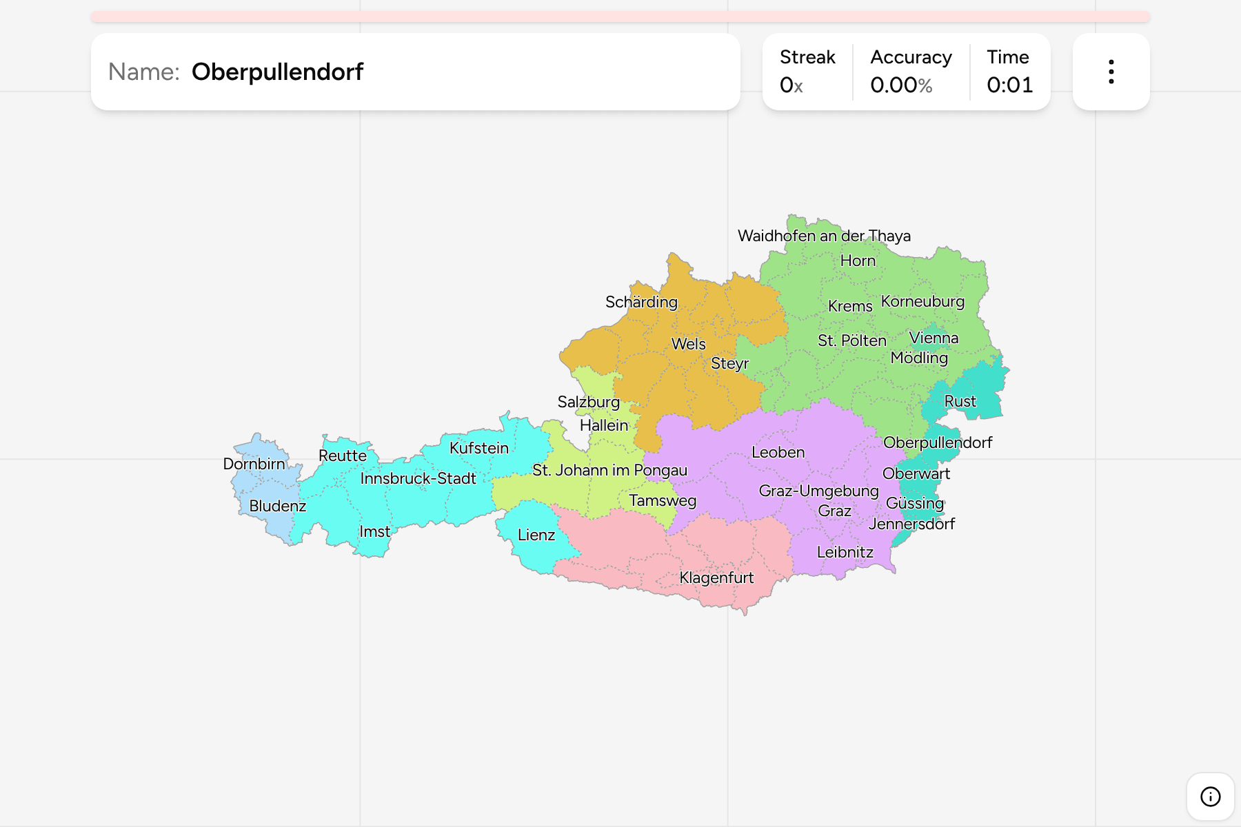
country at this level, see Austria Districts.
Sources