Guyana is the only English-speaking country in South America, and almost all of
its people live in a strip of low coast between the Essequibo and the Corentyne
rivers. Its ten administrative regions are the units its government, its
census and its elections are organised around, and they cover the country
without a gap.
- The quiz
- Name to place, on the map
- Grouped by
- The coast, and the interior
- In the game
- 10 regions
What you are looking at
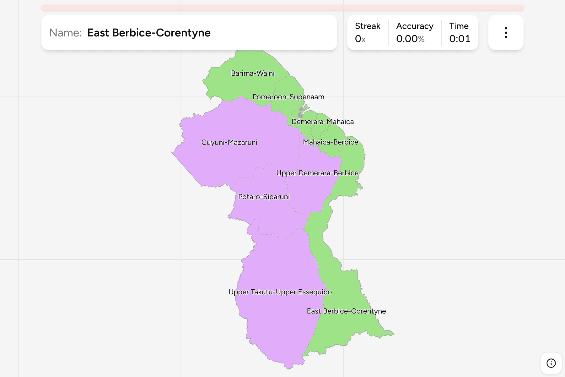
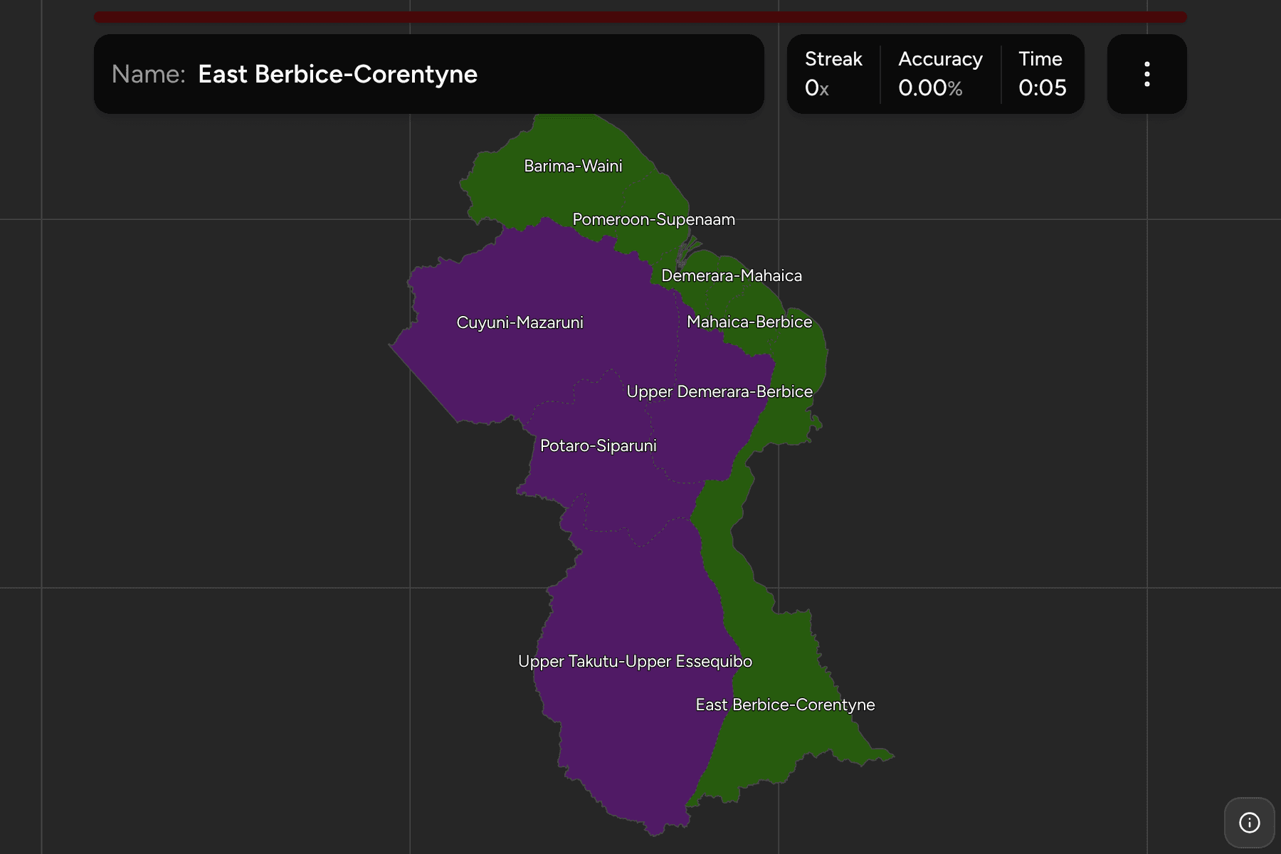
The regions of today, named as Guyana names them: a number from 1 to 10 in
law, and a hyphenated pair of rivers or places in everyday use, which is what
the game asks for. Six of them touch the Atlantic. Barima-Waini is the
north-western corner against Venezuela, Pomeroon-Supenaam and Essequibo
Islands-West Demerara follow along the coast to the Demerara river,
Demerara-Mahaica and Mahaica-Berbice are two thin strips around Georgetown,
and East Berbice-Corentyne runs on to the Suriname border. The other four lie
inland: Cuyuni-Mazaruni in the north-west, Potaro-Siparuni and Upper
Takutu-Upper Essequibo in the south-west and centre, and Upper Demerara-Berbice,
the middle of the country.
The groups are not an official classification. They are the six coastal
regions and the four inland ones, a way to learn the map a piece at a time. The
map draws the western border where Guyana administers it, along the Cuyuni and
Essequibo rivers, which Venezuela disputes.
How to place one
- Start with the coast. Georgetown is on the Demerara river, in
Demerara-Mahaica, and the regions either side of it are small. The big
coastal ones are at the ends: Barima-Waini to the north-west and East
Berbice-Corentyne to the east.
- Work inland from the coast. Cuyuni-Mazaruni sits above Pomeroon-Supenaam
and Essequibo Islands-West Demerara, with Upper Demerara-Berbice to its east.
- Finish with the south. Upper Takutu-Upper Essequibo is the largest region
by far, the whole of the south-west against Brazil, and Potaro-Siparuni sits
between it and the north.
Every region, by group
- The coast6 regions
- Barima-Waini, Demerara-Mahaica, East Berbice-Corentyne, Essequibo Islands-West Demerara, Mahaica-Berbice, Pomeroon-Supenaam
- The interior4 regions
- Cuyuni-Mazaruni, Potaro-Siparuni, Upper Demerara-Berbice, Upper Takutu-Upper Essequibo
Worked examples
Demerara-MahaicaThe capital regionDemerara-Mahaica holds Georgetown and most of Guyana's people, in a strip of
coast far smaller than the empty regions behind it.
Upper Takutu-Upper EssequiboThe savannahUpper Takutu-Upper Essequibo is the biggest region: the Rupununi savannah and
the Brazilian border, with a handful of people over a huge area.
East Berbice-CorentyneThe eastEast Berbice-Corentyne takes in the coast from the Berbice river to the
Corentyne, the Suriname border, and the long southern tail of the country
beside it.
Frequently asked questions
How many regions does Guyana have?
Ten, and together they cover the whole of the country, so the game has no territory outside them. The ten date from 1980.
Does Guyana group its regions?
Not officially. The two groups here are the six regions on the Atlantic coast and the four inland, and they are only a way to learn the map.
Why is the western border drawn where it is?
The map shows Guyana as it is administered, to the Essequibo river and beyond. Venezuela claims the land west of that river, a dispute that is before the International Court of Justice.
Sources