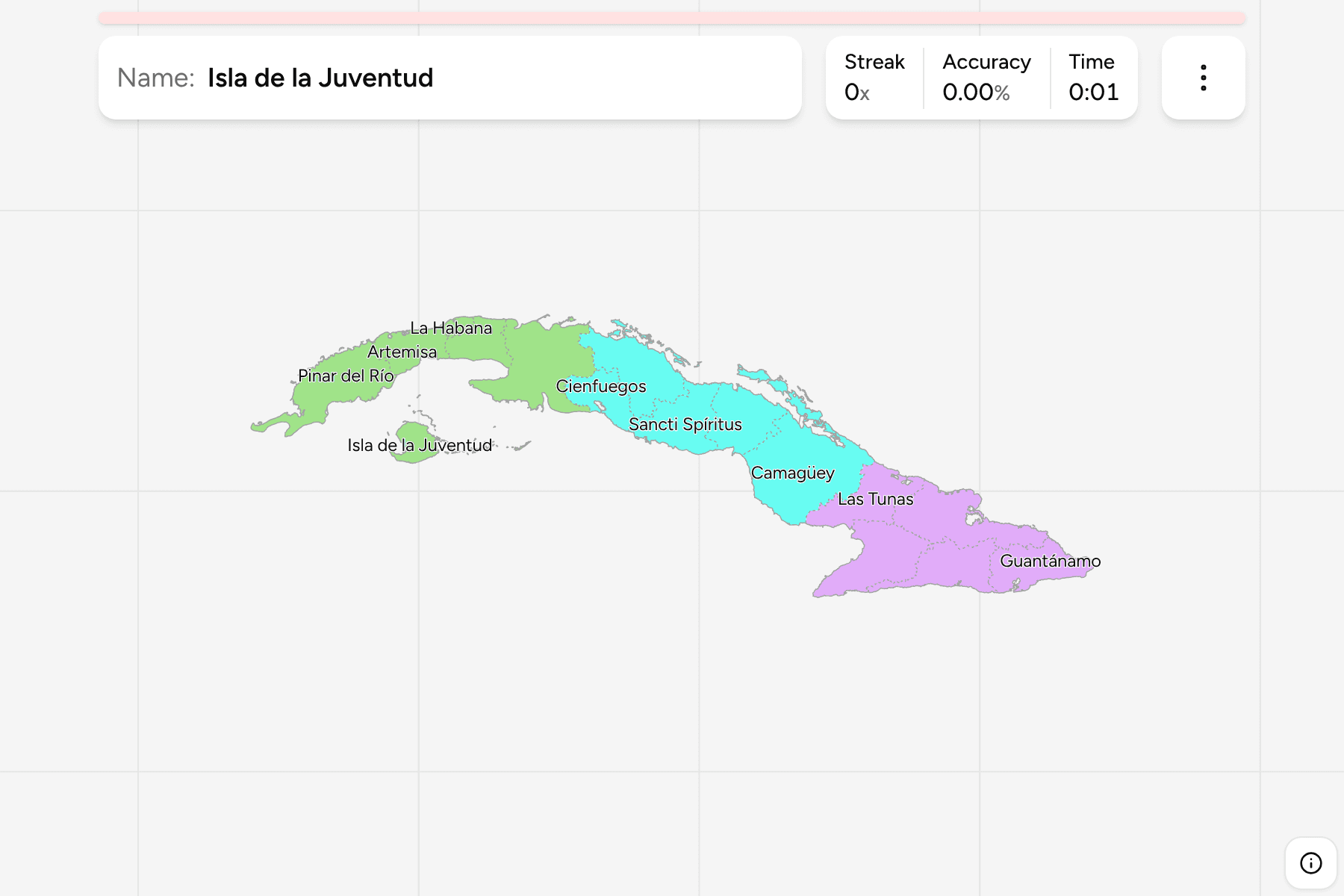
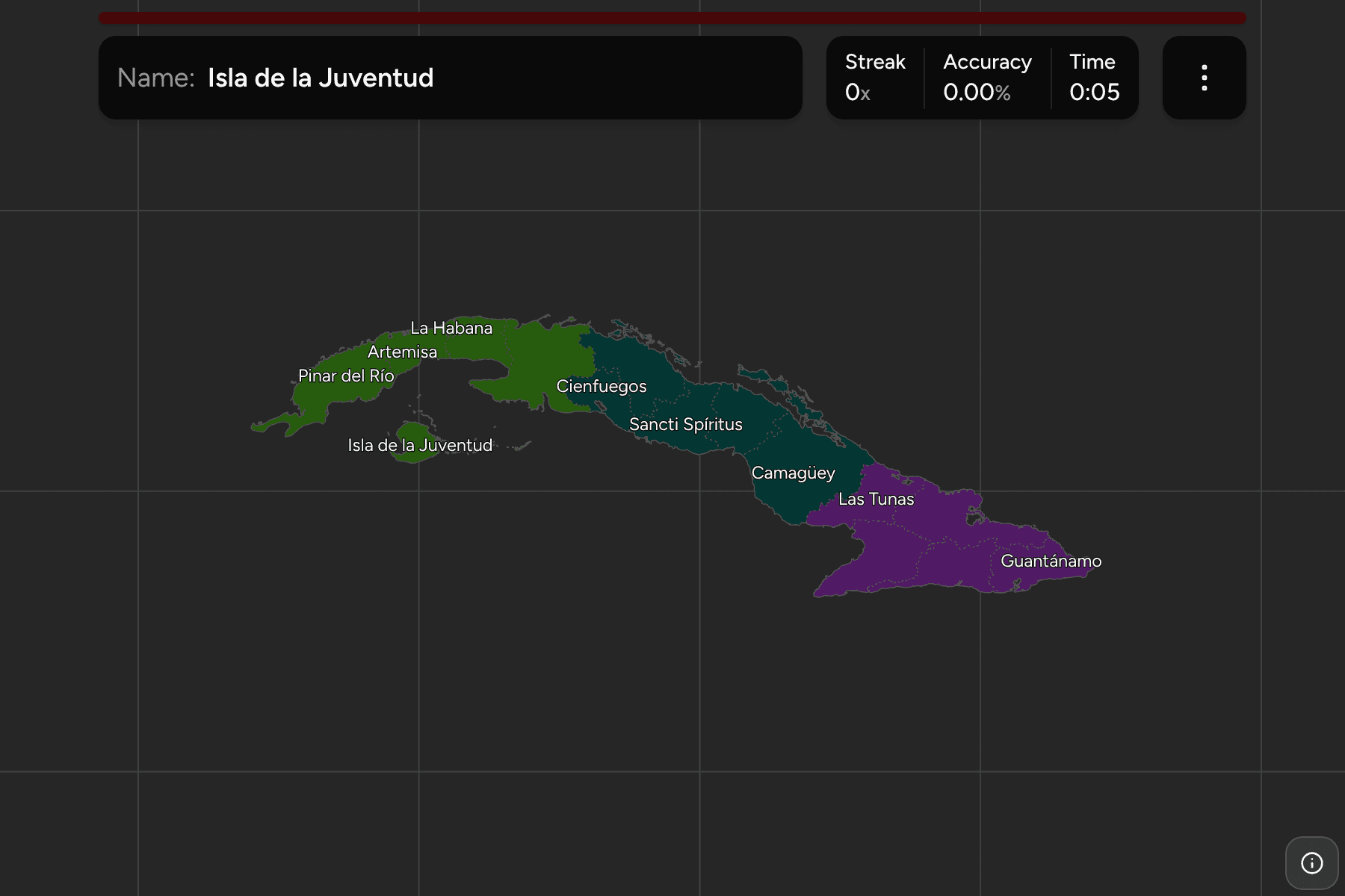
Cuba is one long island, about 1,200 km from end to end and rarely more than
100 across, so the question on its map is never which side you are on but how
far along. The province is the unit that answers it. Cubans split the island
into Occidente in the west, Centro and Oriente in the east, and this quiz
groups the provinces the same way.
- The quiz
- Name to place, on the map
- Grouped by
- Region: Occidente, Centro and Oriente
- In the game
- 16 provinces
What you are looking at
The provinces (provincias) of Cuba, the first tier of the country, plus the
Isle of Youth. Havana was divided in 2011: its old western province became
Artemisa and Mayabeque, and the city kept the name La Habana, so older maps show
fourteen provinces where this one shows fifteen.
The Isle of Youth (Isla de la Juventud) is not a province. It is a special
municipality ruled directly from Havana, and it sits in the Caribbean south of
Mayabeque, but it is the size of a province and Cubans list it beside them, so
it is a target here too.
The provinces are very uneven. La Habana is a city and covers less than 900
square kilometres, while Camagüey in the middle of the island is the largest by
a wide margin. In the east, Granma is named for the yacht that
carried the revolutionaries ashore in 1956.
The groups are the regions Cubans teach their own geography in. The
provinces are the Cuba Municipalities grouped, so the
borders of the two maps match exactly.
How to place one
- Start in the middle. Camagüey is the broad province in the centre of the
island, with Ciego de Ávila to its west and Las Tunas to its east.
- Walk west from Havana. Matanzas is the province with the Varadero
peninsula, Mayabeque and La Habana sit side by side beyond it, and Artemisa
and Pinar del Río run on to the western tip.
- Finish with the east. Holguín is the northern bulge, Granma the south
coast around the Gulf of Guacanayabo, and Santiago de Cuba and Guantánamo
fill the end of the island.
- Do not forget the island. The Isle of Youth is the lone shape in the sea
to the south west.
Every province, by region
- Occidente6 provinces
- Artemisa, Isla de la Juventud, La Habana, Matanzas, Mayabeque, Pinar del Río
- Oriente5 provinces
- Granma, Guantánamo, Holguín, Las Tunas, Santiago de Cuba
- Centro5 provinces
- Camagüey, Ciego de Ávila, Cienfuegos, Sancti Spíritus, Villa Clara
Worked examples
CamagüeyThe biggest of themCamagüey is the largest province on the island, running from the north coast
to the south. Its capital is the city of the same name.
La HabanaThe city on the north coastLa Habana is the capital and covers under 900 square kilometres. It is small
enough to need a tap area on the map, so zoom in to reach it.
Isla de la JuventudThe one that is not a provinceThe Isle of Youth is the second largest island of the Cuban archipelago, and
a special municipality rather than a province. It has its own place in the
quiz because it is the one shape on the map that is not part of the main
island.
Frequently asked questions
How many provinces does Cuba have?
Fifteen, and the Isle of Youth as a special municipality, which is why the quiz has sixteen answers.
When did Cuba get its current provinces?
In 2011, when the province of Havana was split into Artemisa and Mayabeque.
What is below the province?
The municipalities, 168 of them, which are their own quiz and are grouped by province.
The tier below this one is Cuba Municipalities. For
another island country at this level, see Dominican Republic
Provinces.
Sources