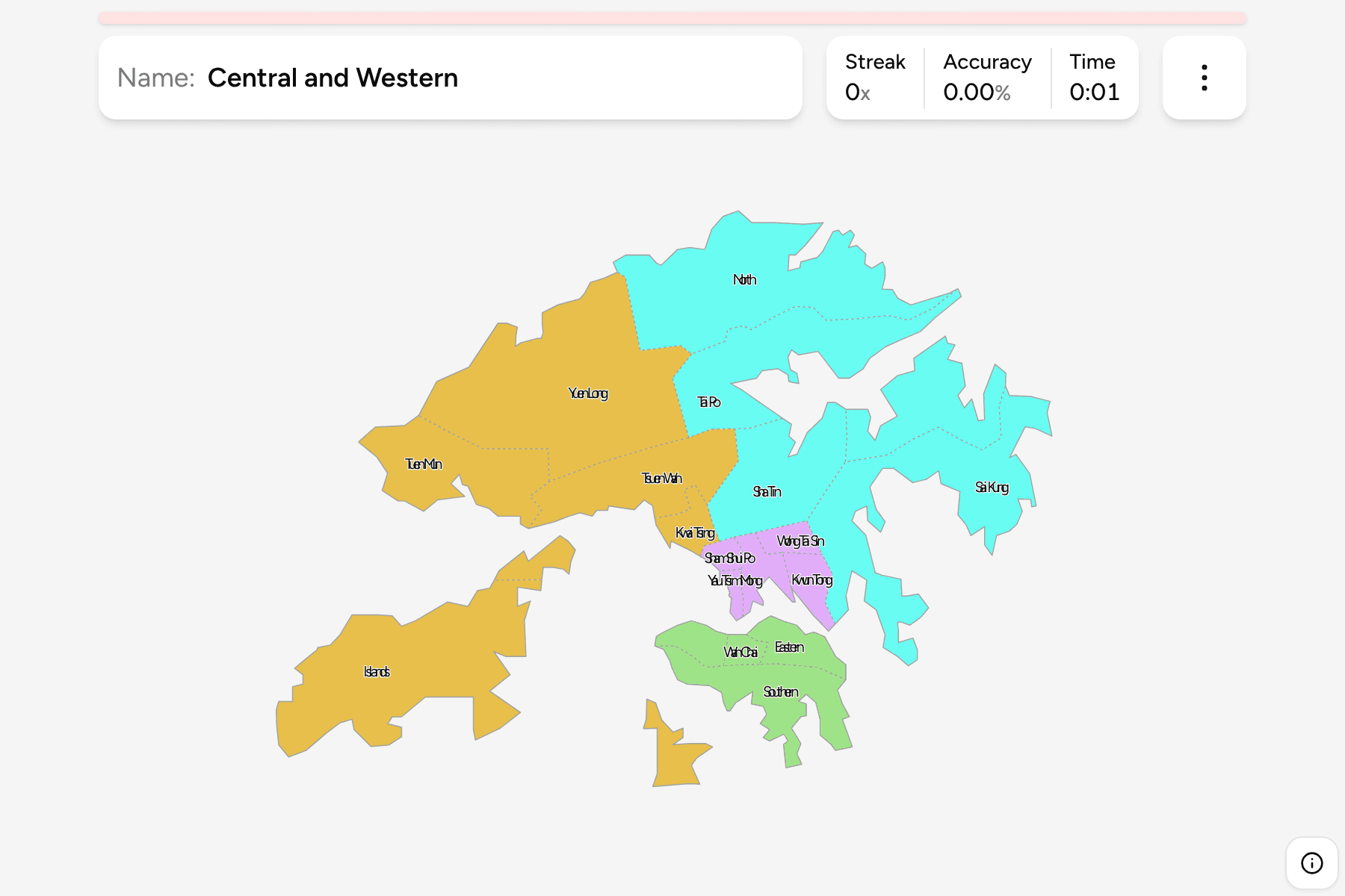
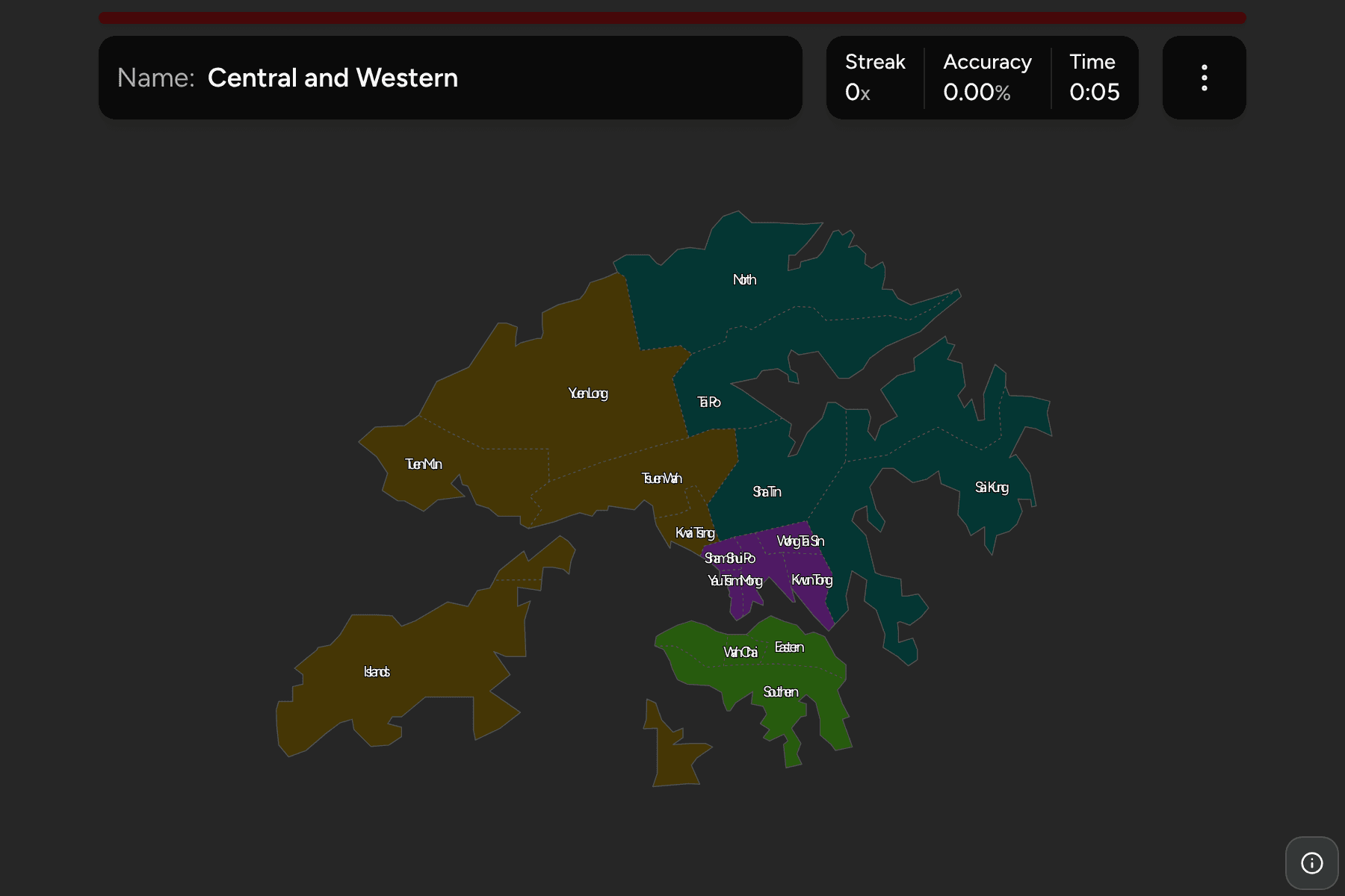
Hong Kong is one of the densest places on earth and one of the most photographed,
and it is also much bigger than the skyline suggests: most of the territory is
hills, country parks and islands. It is divided into 18 districts, and every
road sign, bus route and district council election is organised around them.
This page is all 18, the four areas they fall into, and how to tell them apart
on a map that is mostly harbour.
- The quiz
- Name to place, on the map
- Grouped by
- Hong Kong Island, Kowloon, and the New Territories east and west
- In the game
- 18 districts
What you are looking at
The districts are the tier below the territory itself: each has a district
council and a district office, and together they cover the whole of Hong Kong
without a gap, islands included. Their names are written in English as the
government writes them, and the game can show each in traditional Chinese
characters as well (turn on the local name in the start dialog), which is what
a street sign in Hong Kong carries.
The groups are the four areas Hong Kong is taught in. Hong Kong Island is
the four districts on the island itself. Kowloon is the five on the peninsula
across Victoria Harbour. Everything else is the New Territories, which is by far
the largest part of the territory and is usually split into an eastern half
(North, Tai Po, Sha Tin and Sai Kung) and a western half (Kwai Tsing, Tsuen
Wan, Tuen Mun, Yuen Long and the Islands). These are the same areas the
territory's own geographic constituencies and bus networks use.
The sizes are wildly uneven. Yau Tsim Mong, Sham Shui Po and Wan Chai are a
few streets wide, and fit inside the Islands district, which is made of
Lantau, Lamma, Cheung Chau and the other outlying islands. Those are the ones
the game gives a tap area, so they can be hit on a phone.
How to place one
- Find Victoria Harbour. It is the narrow strip of water running between
Hong Kong Island and Kowloon, and it splits the map in two. Everything south
of it on the island is one of four districts, and everything across it is
Kowloon until the hills begin.
- On the island, go west to east. Central and Western is the north-west
corner, then Wan Chai, then Eastern at the island's north-east end. Southern
is the whole south coast, behind all three.
- In Kowloon, go inland. Yau Tsim Mong is on the harbour at the tip, Sham
Shui Po is to its west, Kowloon City to its north-east, with Wong Tai Sin and
Kwun Tong beyond it towards the east.
- Then the New Territories, by their coast. Tsuen Wan, Tuen Mun and Yuen
Long run up the west side and Kwai Tsing is the one wedged between Tsuen Wan
and Kowloon. In the north, the border with Shenzhen is the North district.
On the east, Sha Tin is the inland valley, Tai Po the harbour above it, and
Sai Kung the long peninsula running out into the sea.
- Leave the Islands for last. They are the big shape to the south-west,
and the clue is that nothing else there is land.
The traps are a few names that point somewhere else.
The Eastern and Southern districts are both on Hong Kong Island. There is no
district of the territory called East or South, and Eastern is not the
easternmost part of Hong Kong (Sai Kung is).
North is a border district, not the north of the territory. Tai Po and Yuen
Long also reach the northern edge, and the North district is the one around Sheung Shui and Fanling,
facing Shenzhen across the river.
The Islands are not the island. Hong Kong Island is four districts. The
Islands district is a separate thing, and it holds Lantau, with the airport and
the new town of Tung Chung, and not the island the city is named for.
Every district, by group
- Hong Kong Island4 districts
- Central and Western (中西區), Eastern (東區), Southern (南區), Wan Chai (灣仔區)
- Kowloon5 districts
- Kowloon City (九龍城區), Kwun Tong (觀塘區), Sham Shui Po (深水埗區), Wong Tai Sin (黃大仙區), Yau Tsim Mong (油尖旺區)
- New Territories East4 districts
- North (北區), Sai Kung (西貢區), Sha Tin (沙田區), Tai Po (大埔區)
- New Territories West5 districts
- Islands (離島區), Kwai Tsing (葵青區), Tsuen Wan (荃灣區), Tuen Mun (屯門區), Yuen Long (元朗區)
Worked examples
Yau Tsim MongThe small one everyone has seenYau Tsim Mong is Tsim Sha Tsui, Yau Ma Tei and Mong Kok, the tip of the
Kowloon peninsula, and one of the smallest districts on the map. It faces
Central across Victoria Harbour, which is how to find it.
Sai KungThe long peninsulaSai Kung runs out into the sea to the east, a ragged country park coast with
islands and beaches. It is the easiest anchor in the east, and it is a long way
from the city centre.
IslandsThe biggest, and nothing like the cityThe Islands district is Lantau and every other island outside the main
harbour. It holds the airport, the Big Buddha and Disneyland, and is
among the largest districts on the map while holding a small share of the
people.
Frequently asked questions
How many districts does Hong Kong have?
18: four on Hong Kong Island, five in Kowloon and nine in the New Territories (counting the Islands district).
Which districts are on Hong Kong Island?
Central and Western, Wan Chai, Eastern and Southern. The Islands district is not on Hong Kong Island: it is Lantau and the other outlying islands.
Which districts are in Kowloon?
Yau Tsim Mong, Sham Shui Po, Kowloon City, Wong Tai Sin and Kwun Tong. The land north of them is the New Territories.
Are the districts the same thing as the New Territories?
No. The New Territories is an area, and nine of the 18 districts are in it. The districts are the administrative tier, and the four areas the game groups them by are how Hong Kong is usually described rather than a tier of government.
Why is Macau not in this game?
Macau is a separate special administrative region with its own divisions. Only Hong Kong's 18 districts are covered here.
For the rest of the region, try China Provinces, and for
another city scale map, Malta Local Councils.
Sources