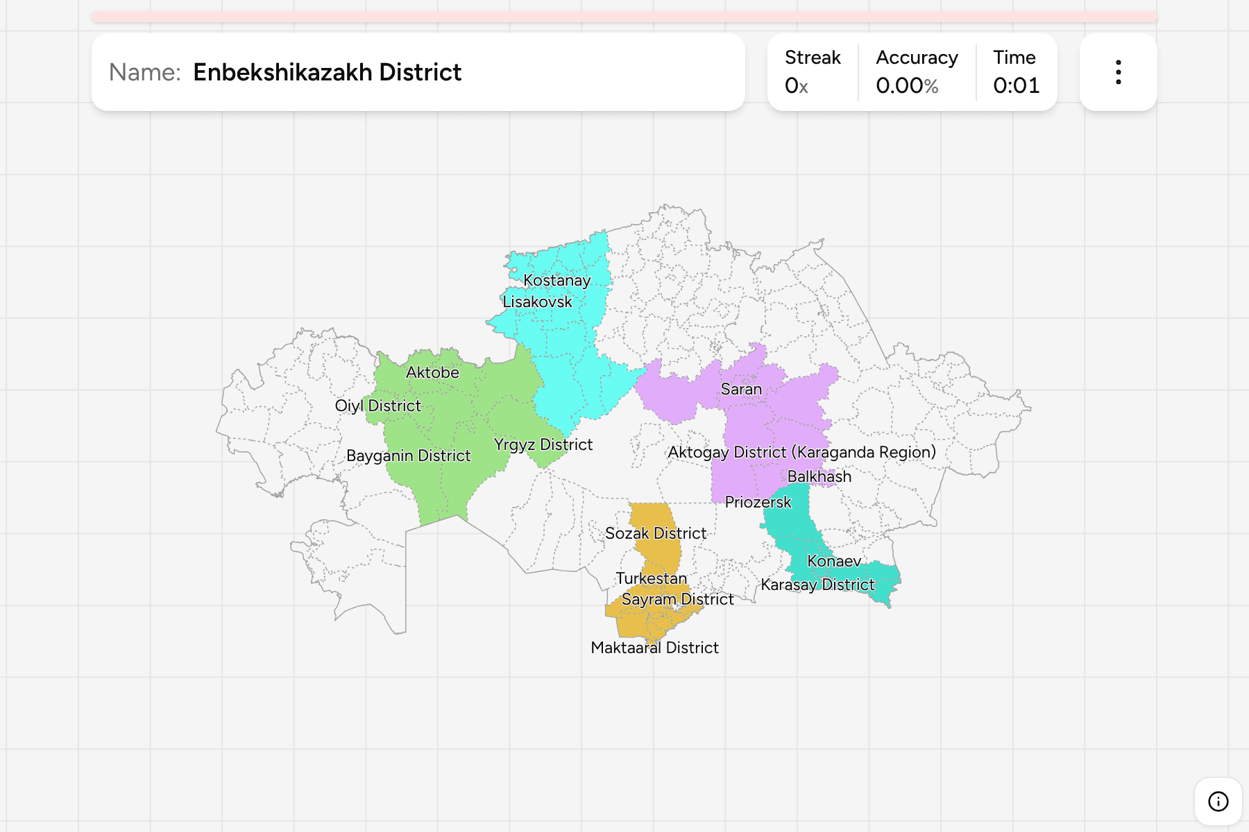
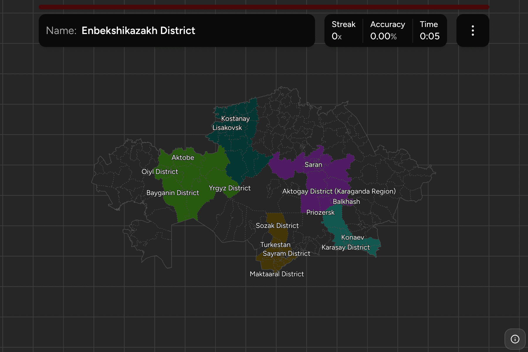
Kazakhstan is the ninth largest country in the world and the largest without a
coast, a steppe so wide that the regions are the only sensible way to say where
you are in it. They changed in 2022, when three new ones were cut from their
neighbours, so a map older than that is out of date.
- The quiz
- Name to place, on the map
- Grouped by
- The five parts of the country: west, north, centre, east and south
- In the game
- 20 regions
What you are looking at
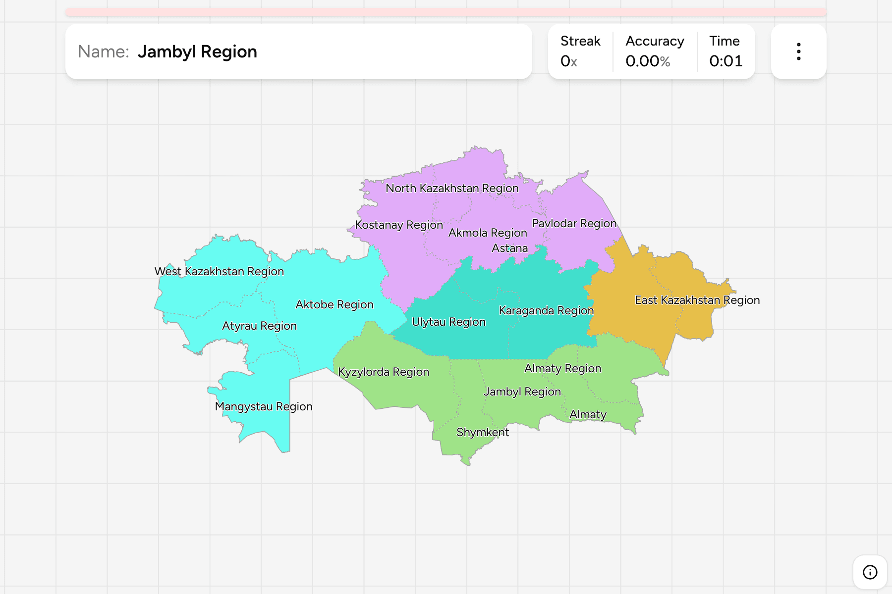
The regions (oblys) of Kazakhstan, the first tier of the country. There are
seventeen of them, and three cities of republican significance that are counted
as regions of their own: Astana, the capital, Almaty, the largest city, and
Shymkent. Each of the three is a speck beside the seventeen, so the game gives
them tap areas.
Most regions are named for their regional centre, which makes the names the
easier half. The newest are Abay, Jetisu and Ulytau, created in 2022 from East
Kazakhstan, Almaty Region and Karaganda Region. Astana sits inside Akmola Region,
which leaves a hole in the middle of it.
The groups are the five parts that Kazakh geography is usually taught in. They
are a teaching convention rather than an administrative level. The regions are
the Kazakhstan Districts grouped, so the borders of the
two maps match exactly.
How to place one
- Start with the west. Four regions on the Caspian and around the Ural
river, Mangystau on the peninsula, Atyrau at the river mouth.
- Read the north as a belt. Kostanay, North Kazakhstan, Akmola and Pavlodar
run along the Russian border.
- Find the middle. Karaganda and Ulytau fill the centre, and Ulytau is the
newer of the two.
- Take the south in order. From the Aral Sea the south runs through
Kyzylorda, Turkistan, Jambyl and Almaty Region towards China.
Every region, by part
- South7 regions
- Almaty Region, Almaty, Jambyl Region, Jetisu Region, Kyzylorda Region, Shymkent, Turkistan Region
- North4 regions
- Akmola Region, Kostanay Region, North Kazakhstan Region, Pavlodar Region
- West4 regions
- Aktobe Region, Atyrau Region, Mangystau Region, West Kazakhstan Region
- East2 regions
- Abay Region, East Kazakhstan Region
- Centre3 regions
- Astana, Karaganda Region, Ulytau Region
Worked examples
Aktobe RegionThe biggest of themAktobe Region is the largest region of the country, in the north west, and a
little bigger than Karaganda Region beside it.
AlmatyThe smallest of themAlmaty is a city rather than a countryside, and about the size of a district.
It sits at the foot of the mountains in the south east, beside Almaty Region.
AstanaThe capital inside a regionAstana is the capital and a region of its own, surrounded on every side by
Akmola Region. It is the other small answer on the map.
Frequently asked questions
How many regions does Kazakhstan have?
20: seventeen regions and the three cities of republican significance, Astana, Almaty and Shymkent.
Which regions are new?
Abay, Jetisu and Ulytau were created in 2022, from East Kazakhstan Region, Almaty Region and Karaganda Region.
What is below the region?
The districts, which number 218 on this map. They are their own quiz.
The tier below this one is Kazakhstan Districts. For
another country at this level, see South Korea Provinces.
Sources