The Marshall Islands is a country of coral atolls scattered across about two
million square kilometres of the central Pacific, with barely 180 square
kilometres of dry land among them. Its 24 municipalities are almost all one
atoll or one island each, and nobody places a town without first naming the
atoll it sits on, so the municipality is the unit that a Marshallese address,
a flight and a ferry timetable are all written in.
- The quiz
- Name to place, on the map
- Grouped by
- The Ralik chain in the west and the Ratak chain in the east
- In the game
- 24 municipalities
What you are looking at
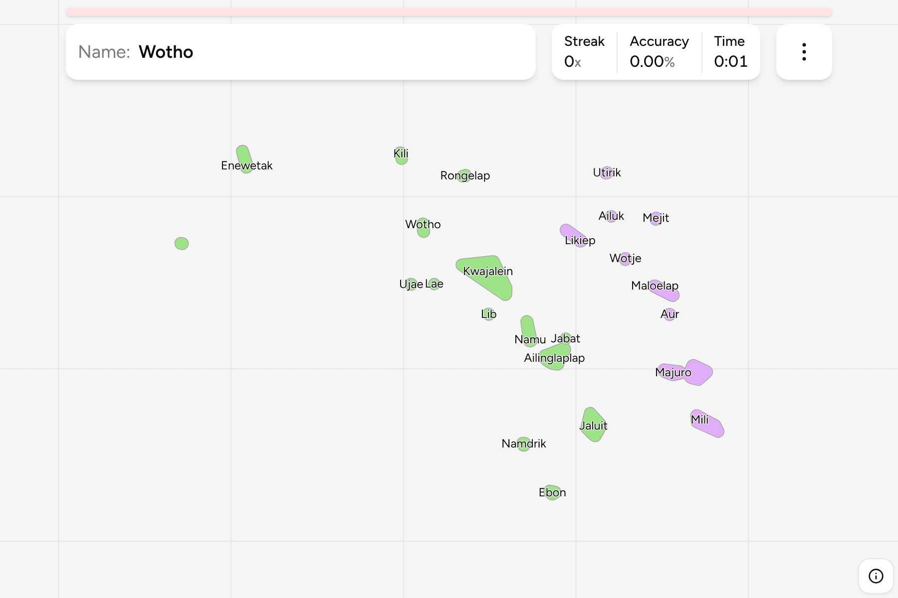
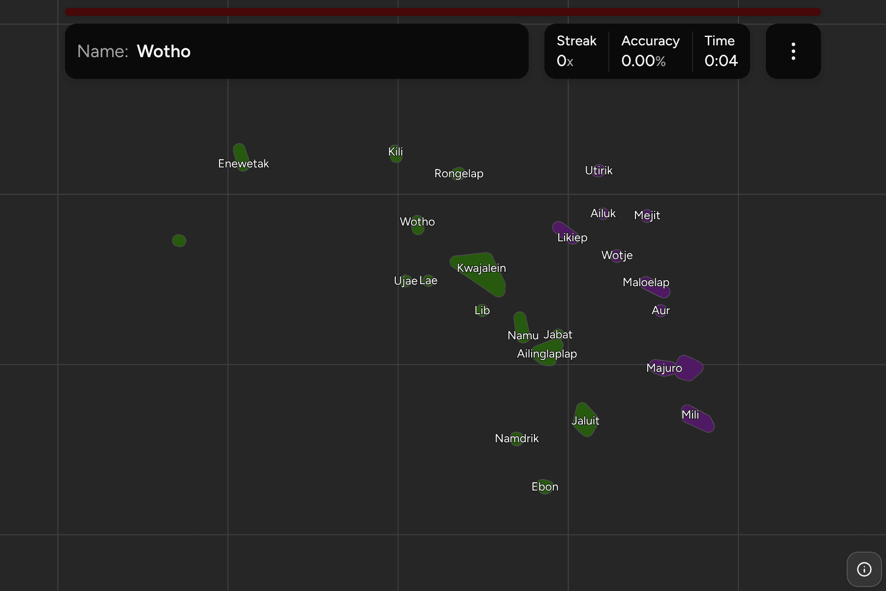
Each municipality is drawn as the outline of its islets, the area the name
covers on the water rather than the few square kilometres of land inside it.
The real atolls are rings of reef with narrow islets along the rim, so the
outline is close to the reef. Most are a few tenths of a degree across, on a
map that is twelve degrees wide, which is why the smallest carry a circle to
tap on.
The country lies along two parallel chains, and the groups follow them. Ralik,
the sunset chain, is the western one, and Ratak, the sunrise chain, is the
eastern one. The capital, Majuro, is at the south end of the Ratak chain, and
the Ralik chain holds Kwajalein, whose lagoon is among the largest in the
world. Enewetak sits far out to the northwest, with its municipality also
holding Ujelang, a separate atoll well to the west that the map reaches too.
How to place one
- Start with the capital. Majuro is on the Ratak chain, near the southeast
corner of the map, with Arno beside it and Mili further southeast.
- Walk up the east. Aur, Maloelap, Wotje, Likiep, Ailuk, Mejit and Utirik
follow the Ratak chain to the north.
- Cross to the west. Kwajalein is the large atoll in the middle of the
Ralik chain, with Lib to its south and Ujae, Wotho and Lae along its west
side.
- Finish at the ends. Ebon is the southernmost municipality, and Rongelap,
Kili and Enewetak are the northern and westernmost ones.
Every municipality, by group
- Ralik chain14 municipalities
- Ailinglaplap, Ebon, Enewetak, Jabat, Jaluit, Kili, Kwajalein, Lae, Lib, Namdrik, Namu, Rongelap, Ujae, Wotho
- Ratak chain10 municipalities
- Ailuk, Arno, Aur, Likiep, Majuro, Maloelap, Mejit, Mili, Utirik, Wotje
Worked examples
MajuroThe capitalMajuro is a long, thin atoll in the southeast of the country, and it holds
the capital, the airport and about half of the population. Arno lies just to
its east.
KwajaleinThe big lagoonKwajalein is the largest atoll by lagoon area and sits in the middle of the
Ralik chain, with most of its islets strung along a rim about 100 kilometres
long.
EnewetakThe far northwestEnewetak is the northwestern outpost of the chain, with Ujelang, the other
piece of the same municipality, standing alone to the southwest.
Frequently asked questions
How many municipalities does the Marshall Islands have?
24. They are the atolls and single islands that have a local government, and the game draws all of them.
What are Ralik and Ratak?
The two chains the country is laid out along: Ralik in the west and Ratak in the east. The Marshallese names are usually translated as sunset and sunrise.
Why are the outlines bigger than the islands?
The islets of an atoll are slivers of land a few hundred metres wide. The game draws the water they enclose, so that the shape is large enough to point at.
Is Wake Island on the map?
No. The Marshall Islands claims Wake Island, which lies about 3,000 kilometres north of the rest of the country, but the game draws only the municipalities.
Sources