Pakistan is a country of river plains and mountain walls: the Indus runs the
length of it from the Karakoram to the Arabian Sea, and the first tier of the
map is a question of which side of that river, and which side of the mountains,
a round is on. The seven first-level units are few enough to learn in an
evening.
- The quiz
- Name to place, on the map
- Grouped by
- The four provinces against the three territories
- In the game
- 7 province or territories
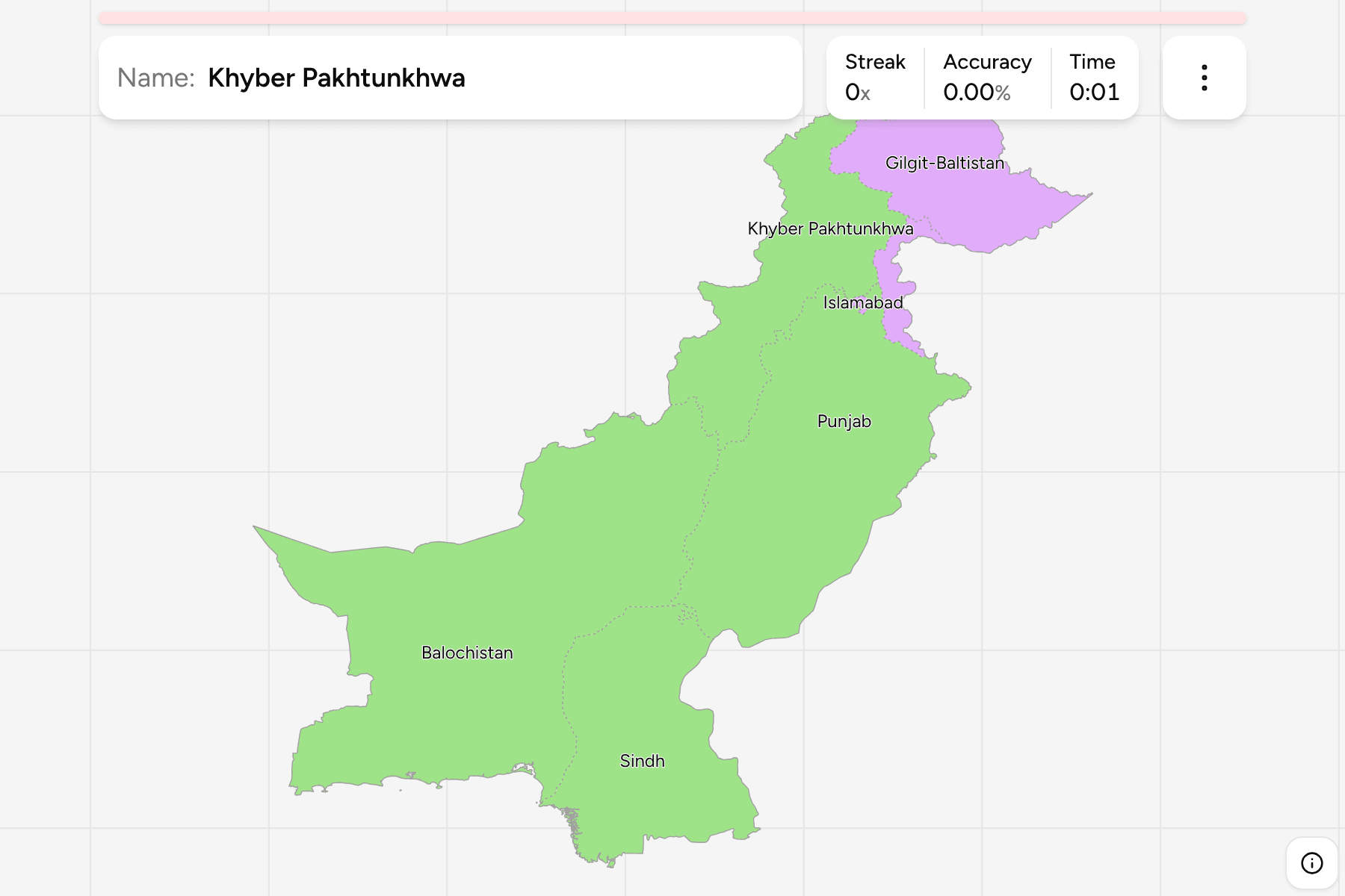
What you are looking at
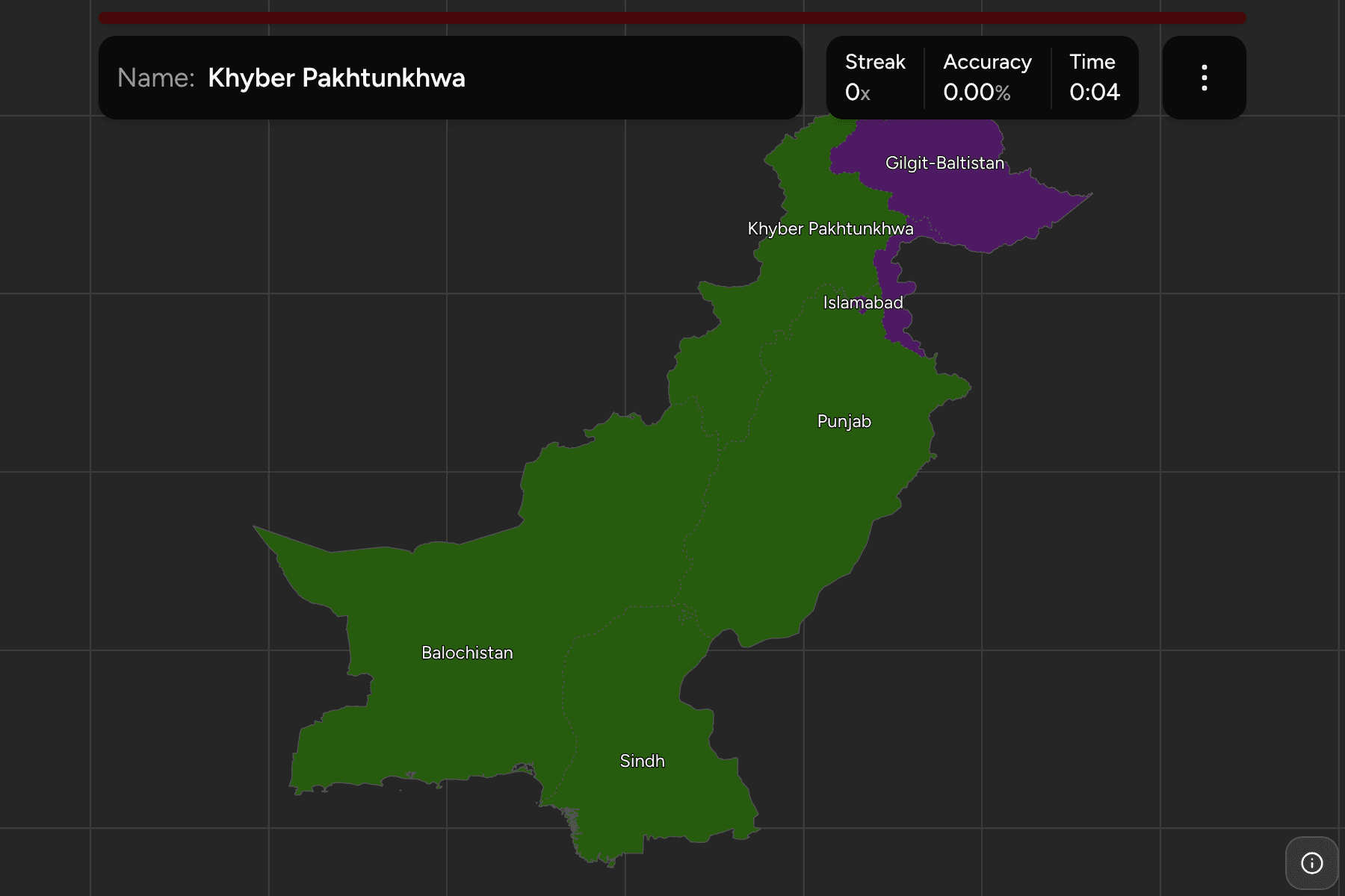
The first tier of Pakistan: four provinces, and three territories that are not
provinces. Azad Kashmir and Gilgit-Baltistan are the parts of Kashmir that
Pakistan administers, and Islamabad is the federal capital territory, a
small area at the foot of the Margalla Hills. The quiz draws only the land Pakistan
administers, along the line of control, and not the parts of Kashmir held by
India.
Punjab holds more than half the population and sits on the flat east of the
country. Balochistan is the largest by far, a dry plateau that takes up almost
half the map to the south west. Sindh follows the lower Indus down to Karachi
and the sea, and Khyber Pakhtunkhwa is the mountainous strip along the Afghan
border, which now includes the former tribal areas merged into it in 2018.
The start dialog groups them as provinces and territories, which is how the
constitution splits them. The districts inside them are their own quiz,
Pakistan Districts.
How to place one
- Anchor on Balochistan. It is the biggest shape on the map and the one
that makes the south west unmistakable.
- Follow the Indus. Punjab lies upstream and east of it, Sindh downstream
to the coast, and the line between them is a straight administrative edge,
not a river.
- Climb north. Khyber Pakhtunkhwa runs up the Afghan border, with
Gilgit-Baltistan above and east of it, and Azad Kashmir a narrow strip on the
Indian line.
- Find the capital last. Islamabad is a speck beside Rawalpindi on the
Punjab and Khyber Pakhtunkhwa line, and is one of the smallest answers on the
site, so the map gives it a tap area.
Every unit, by group
- Provinces4 province or territories
- Balochistan, Khyber Pakhtunkhwa, Punjab, Sindh
- Territories3 province or territories
- Azad Kashmir, Gilgit-Baltistan, Islamabad
Worked examples
BalochistanThe biggest of themBalochistan covers nearly half the country and holds a small share of its
people: desert, dry mountains and a long Arabian Sea coast that includes the
port of Gwadar.
IslamabadThe one you can missIslamabad is a planned capital built in the 1960s against the foothills, a
tiny territory wedged between Punjab and Khyber Pakhtunkhwa. Zoom in on the
north of Punjab to find it.
Frequently asked questions
How many provinces does Pakistan have?
Four: Punjab, Sindh, Khyber Pakhtunkhwa and Balochistan. Azad Kashmir, Gilgit-Baltistan and Islamabad are territories, which makes seven first-level units.
What happened to the Federally Administered Tribal Areas?
They were merged into Khyber Pakhtunkhwa in 2018, so they are no longer a unit of their own on the map.
How is Kashmir drawn?
Only the land Pakistan administers is on the map, as Azad Kashmir and Gilgit-Baltistan, up to the line of control.
The tier below this one is Pakistan Districts. For
another country at this level, see Nepal Provinces.
Sources