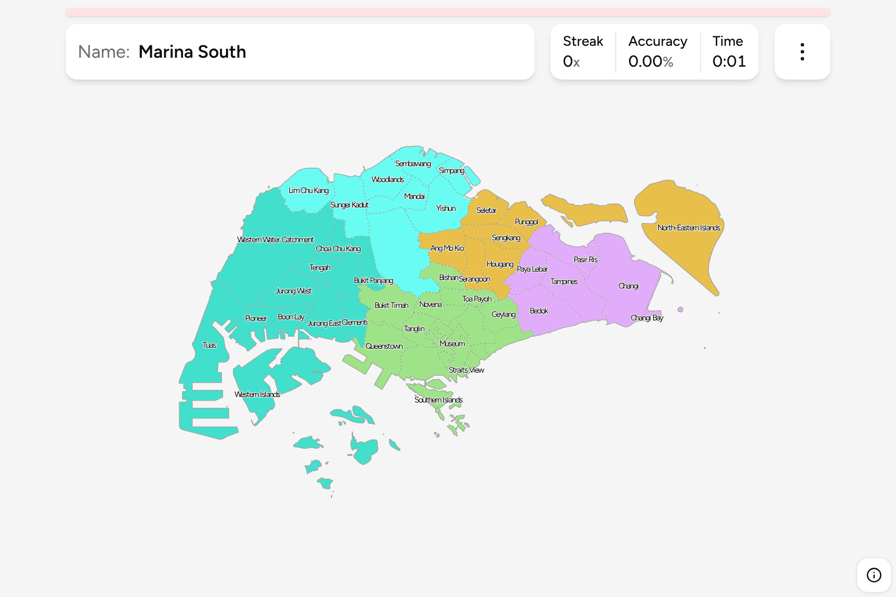
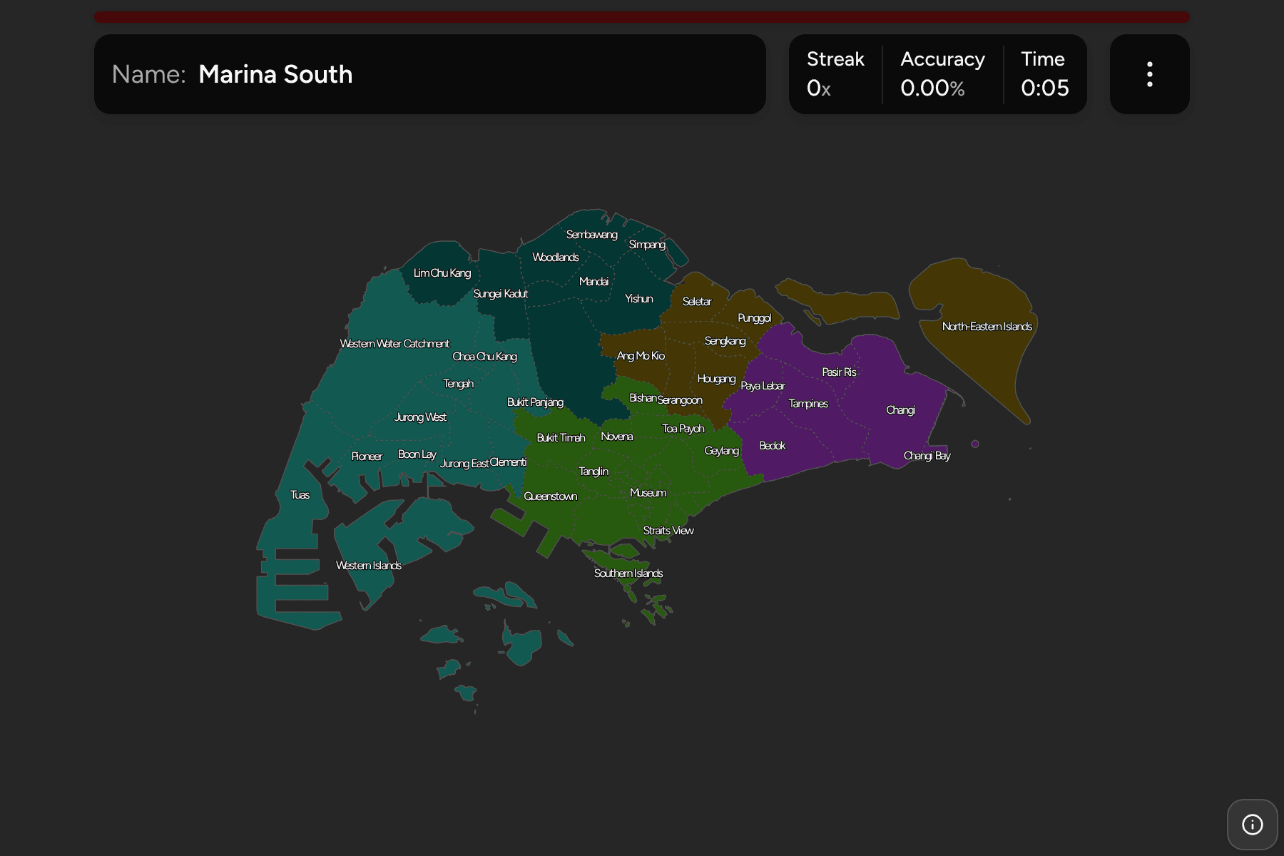
Singapore is one city on one island, so the useful map is the planning area:
the district names that show up in addresses, bus routes and news. Several are
under a square kilometre in the middle of the island, while the biggest are
catchments and island groups, so the quiz is half a lesson in where the centre
ends and half a lesson in where the edges are.
- The quiz
- Name to place, on the map
- Grouped by
- Region: Central, East, North, North-East and West
- In the game
- 55 planning areas
What you are looking at
The planning areas of the Urban Redevelopment Authority's Master Plan, which
divide the whole island and its islets with no gaps. They are not municipalities
(Singapore has none), so the areas are the planning tier and the names are the
ones people use for neighbourhoods.
The groups are the five regions the same plan sorts the areas into, so the game
lets you drill them one at a time.
How to place one
- Start with the Central Region. It holds the most areas and the smallest:
Museum, Orchard, Singapore River and Straits View are each around a square
kilometre.
- Read the coast from east to west. Changi and Pasir Ris run along the
north-east, then Bedok, Marine Parade and the downtown bay, then Queenstown,
Clementi and Jurong along the south-west.
- Treat the green blocks as landmarks. The Central Water Catchment and the
Western Water Catchment are the large areas around the reservoirs.
- Remember the islands. The Southern, Western and North-Eastern Islands are
areas of their own, drawn as the water around the islets.
Every planning area, by region
- Central Region22 planning areas
- Bishan, Bukit Merah, Bukit Timah, Downtown Core, Geylang, Kallang, Marina East, Marina South, Marine Parade, Museum, Newton, Novena, Orchard, Outram, Queenstown, River Valley, Rochor, Singapore River, Southern Islands, Straits View, Tanglin, Toa Payoh
- East Region6 planning areas
- Bedok, Changi, Changi Bay, Pasir Ris, Paya Lebar, Tampines
- North Region8 planning areas
- Central Water Catchment, Lim Chu Kang, Mandai, Sembawang, Simpang, Sungei Kadut, Woodlands, Yishun
- North-East Region7 planning areas
- Ang Mo Kio, Hougang, North-Eastern Islands, Punggol, Seletar, Sengkang, Serangoon
- West Region12 planning areas
- Boon Lay, Bukit Batok, Bukit Panjang, Choa Chu Kang, Clementi, Jurong East, Jurong West, Pioneer, Tengah, Tuas, Western Islands, Western Water Catchment
Worked examples
Downtown CoreThe business districtThe Downtown Core is the financial centre around Marina Bay. Museum, Rochor
and Singapore River are the areas that crowd around it.
MuseumThe smallest of themMuseum is the smallest planning area, under a square kilometre in the middle
of the island. It sits between Orchard, Rochor and Downtown Core, and is the
easiest to lose.
Western Water CatchmentThe biggest of themThe Western Water Catchment is the largest area by size, a block of reservoirs
and training land in the north-west corner of the island.
Frequently asked questions
How many planning areas does Singapore have?
55, as set out in the Master Plan 2019. They cover the whole island and its islets, and the five regions group them.
Are planning areas the same as towns?
Mostly, but not always. Many are housing towns such as Bishan or Tampines, while others are catchments, industrial estates or islands. Housing towns and planning areas are different lists.
Why is the whole island on the map and not just the city?
Because the planning areas cover all of it, including the reservoirs, the airports and the offshore islands. The city centre is a small part of the map.
For another Asian country at this level, see Sri Lanka Districts.
Sources