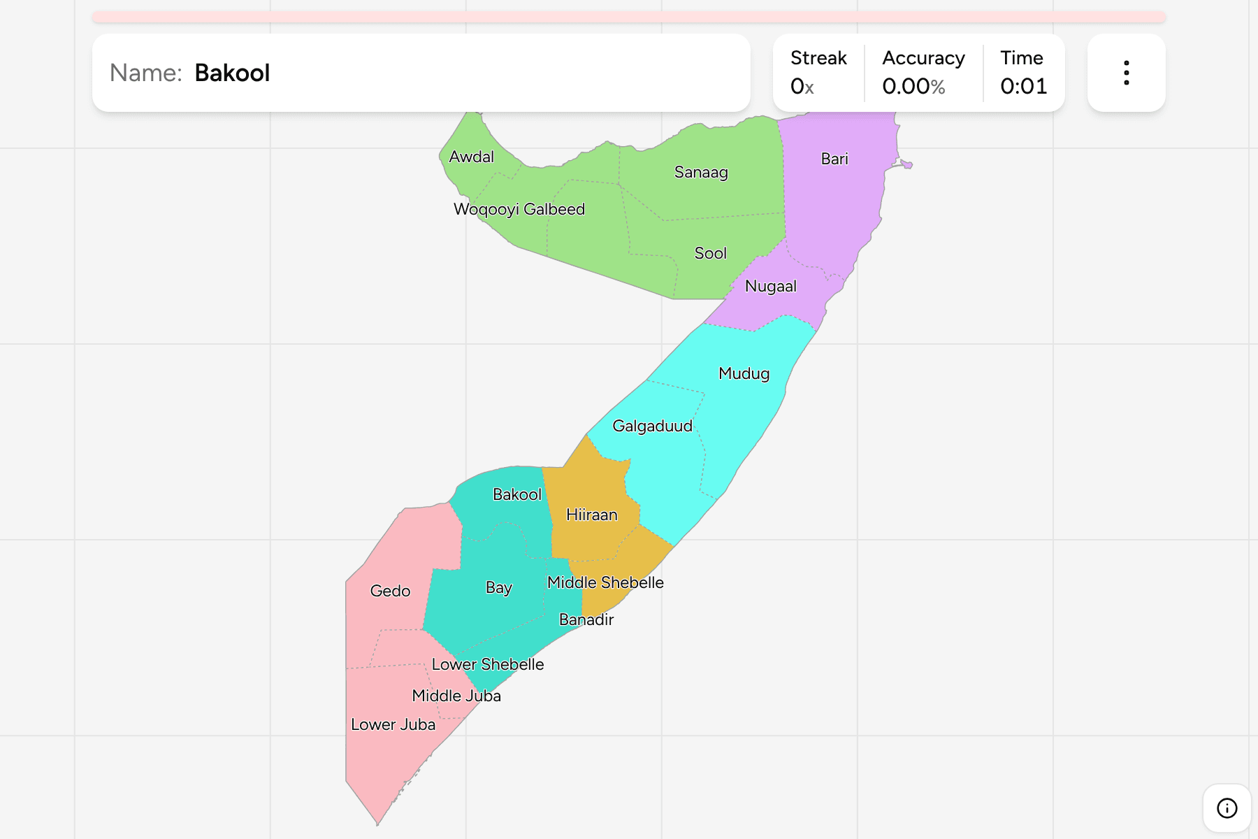
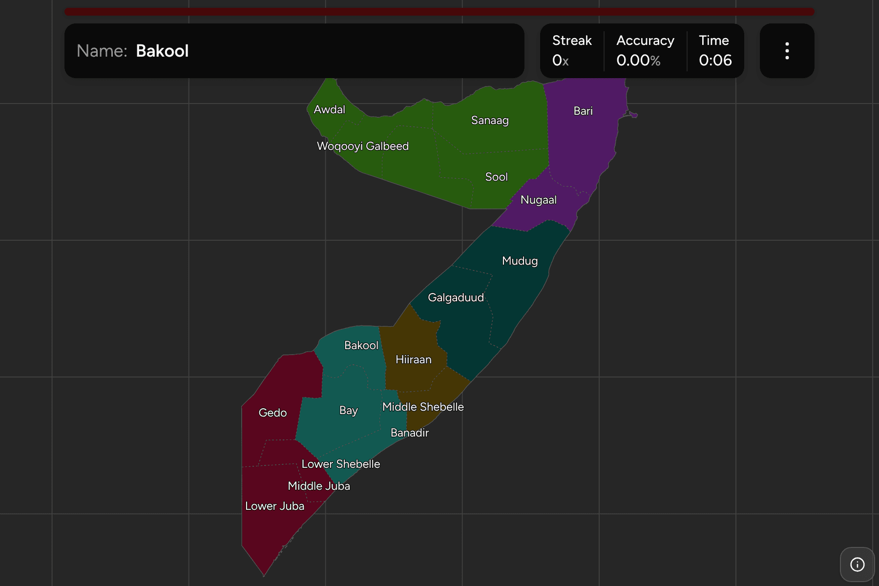
Somalia occupies the Horn of Africa, with the Gulf of Aden along its north coast
and the Indian Ocean down the whole of its east, and it has the longest
coastline on the African mainland. Its 18 regions are the tier the census,
the aid agencies and most maps use, and they are very unevenly sized: Banadir,
which is the city of Mogadishu, is a speck beside Bari or Mudug, each of which
reaches across the country.
- The quiz
- Name to place, on the map
- Grouped by
- The federal member states, with Somaliland as a group of its own
- In the game
- 18 regions
What you are looking at
The 18 regions, drawn as Somalia is internationally recognised: Somaliland, which
has governed itself since 1991 without international recognition, is shown as
five of the 18 regions rather than as a country. The map draws no opinion beyond
that, and the groups below are a way to learn it a piece at a time.
The groups are the federal member states plus Somaliland. Mudug is split between
Puntland and Galmudug in practice, and here it sits in Galmudug, where most of it
lies. The capital region, Banadir, is a group of its own.
How to place one
- Start at the horn. Bari is the broad region that forms the tip of the
Horn, with Nugaal to its south and Sanaag and Sool to its west.
- Take the north coast. Awdal sits against the Djibouti border, then
Woqooyi Galbeed, Togdheer and Sanaag run east along the Gulf of Aden.
- Go down the middle. Mudug and Galgaduud are the long regions that reach
from the Ethiopian border to the Indian Ocean, with Hiiraan inland of them.
- Finish in the south. Banadir is the tiny region on the coast, Middle and
Lower Shebelle follow the river inland, and Bay, Bakool, Gedo and the two
Jubas fill the south-west corner against Kenya.
Every region, by group
- Somaliland5 regions
- Awdal, Sanaag, Sool, Togdheer, Woqooyi Galbeed
- Puntland2 regions
- Bari, Nugaal
- Galmudug2 regions
- Galgaduud, Mudug
- Hirshabelle2 regions
- Hiiraan, Middle Shebelle
- South West3 regions
- Bakool, Bay, Lower Shebelle
- Jubaland3 regions
- Gedo, Lower Juba, Middle Juba
- Banadir1 region
- Banadir
Worked examples
BanadirThe capitalBanadir is the smallest region by a wide margin, a coastal enclave around
Mogadishu with Lower Shebelle to the south-west and Middle Shebelle to the
north-east.
BariThe hornBari is the largest region and forms the tip of the Horn of Africa, between
the Gulf of Aden and the Indian Ocean, with Nugaal below it and Sanaag to its
west.
AwdalThe north-west cornerAwdal is a compact region on the Djibouti border, where the coast of the Gulf
of Aden begins, with Woqooyi Galbeed to its east.
Frequently asked questions
How many regions does Somalia have?
Eighteen, and all of them are on the map. Districts divide them further, and this game does not.
Why is Somaliland shown as part of Somalia?
The game follows the boundary data, which draws Somalia as it is internationally recognised. Somaliland governs its own five regions without recognition, so they are a group of their own here rather than a country.
Are the groups official?
They follow the federal member states, with Mudug placed in Galmudug although Puntland also holds part of it, so they will not match every list you find.
Sources