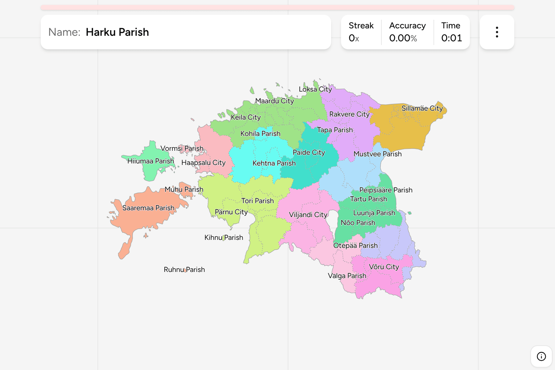
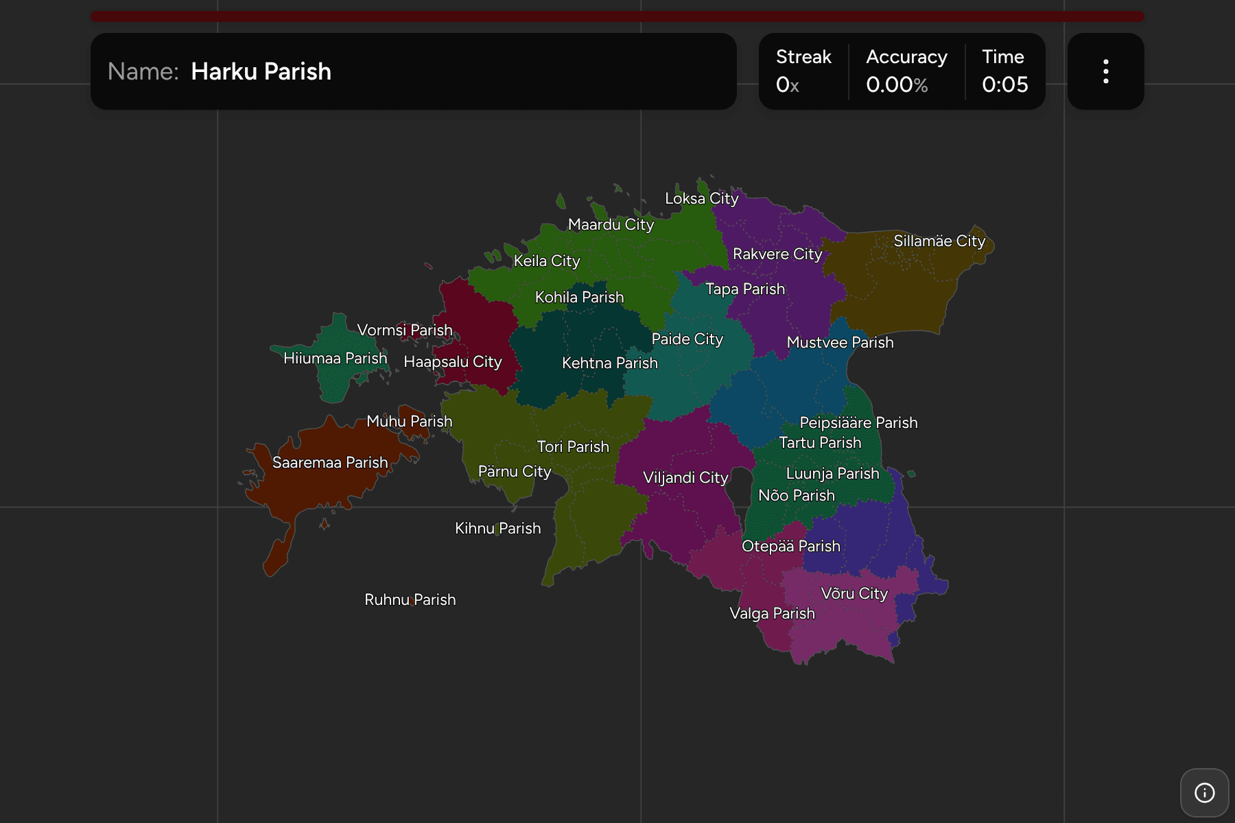
An Estonian county narrows a round down to a quarter of the country, and the
municipality is the tier that names a place. Until 2017 there were over two
hundred of them, most of them tiny, and then the country merged them into 79,
so any map or quiz drawn before that year is the wrong one to learn from.
- The quiz
- Name to place, on the map
- Grouped by
- County: all fifteen, from Harju to Võru
- In the game
- 79 municipalities
What you are looking at
The omavalitsused, Estonia's only local tier: 64 rural municipalities, called
parishes (vald), and 15 towns (linn). Some towns sit inside a parish of the
same name and are separate municipalities, so Tartu, Rakvere, Viljandi and Võru
each appear twice, once as a City and once as a Parish. Tallinn is both a town
and a county seat and is simply Tallinn.
The merger redrew the map around the old centres, and several of the new
parishes took a regional name instead of a town's, such as Põhja-Sakala,
Lääneranna or Mulgi. Saaremaa and Hiiumaa are each a single parish covering the
whole island, with Muhu, Ruhnu and Kihnu left on their own.
The smallest municipalities are too small to tap at the scale of the whole
country. The smallest of each cluster has its tap area widened beyond its shape,
and zooming in does the rest.
The groups are the fifteen counties, so the game lets you drill them one at a
time. Each county answers under the same name in
Estonia Counties.
How to place one
- Pick one county and learn it. Hiiu County is one parish and Valga, Saare,
Järva, Lääne and Jõgeva have three each, which makes them the shortest
rounds to start on.
- Anchor on the towns. Tallinn, Tartu, Narva and Pärnu are the large
shapes that the parishes around them are placed against.
- Read the coast. The north coast and the west coast are strings of
parishes that run in a line, and learning them in order beats learning them
at random.
- Treat Harju and Ida-Viru as the dense ones. Harju has 16 municipalities
and Ida-Viru has 8, many of them small and next to each other, so they pay
off last.
Every municipality, by county
- Harju County16 municipalities
- Anija Parish, Harku Parish, Jõelähtme Parish, Keila City, Kiili Parish, Kose Parish, Kuusalu Parish, Lääne-Harju Parish, Loksa City, Maardu City, Raasiku Parish, Rae Parish, Saku Parish, Saue Parish, Tallinn, Viimsi Parish
- Lääne-Viru County8 municipalities
- Haljala Parish, Kadrina Parish, Rakvere City, Rakvere Parish, Tapa Parish, Väike-Maarja Parish, Vinni Parish, Viru-Nigula Parish
- Rapla County4 municipalities
- Kehtna Parish, Kohila Parish, Märjamaa Parish, Rapla Parish
- Ida-Viru County8 municipalities
- Alutaguse Parish, Jõhvi Parish, Kohtla-Järve City, Lüganuse Parish, Narva City, Narva-Jõesuu City, Sillamäe City, Toila Parish
- Järva County3 municipalities
- Järva Parish, Paide City, Türi Parish
- Lääne County3 municipalities
- Haapsalu City, Lääne-Nigula Parish, Vormsi Parish
- Jõgeva County3 municipalities
- Jõgeva Parish, Mustvee Parish, Põltsamaa Parish
- Pärnu County7 municipalities
- Häädemeeste Parish, Kihnu Parish, Lääneranna Parish, Pärnu City, Põhja-Pärnumaa Parish, Saarde Parish, Tori Parish
- Tartu County8 municipalities
- Elva Parish, Kambja Parish, Kastre Parish, Luunja Parish, Nõo Parish, Peipsiääre Parish, Tartu City, Tartu Parish
- Viljandi County4 municipalities
- Mulgi Parish, Põhja-Sakala Parish, Viljandi City, Viljandi Parish
- Põlva County4 municipalities
- Kanepi Parish, Põlva Parish, Räpina Parish, Setomaa Parish
- Valga County3 municipalities
- Otepää Parish, Tõrva Parish, Valga Parish
- Võru County4 municipalities
- Antsla Parish, Rõuge Parish, Võru City, Võru Parish
- Saare County3 municipalities
- Muhu Parish, Ruhnu Parish, Saaremaa Parish
- Hiiu County1 municipality
- Hiiumaa Parish
Worked examples
Saaremaa ParishThe biggest of themSaaremaa Parish covers the whole of the country's largest island and is
the largest municipality on the map. Nothing else is that big, which
makes it an easy one to find.
Ruhnu ParishThe smallest of themRuhnu is a flat island in the middle of the Gulf of Riga, closer to Latvia than
to the Estonian mainland. It is one of the smallest shapes on the map
and the one that most needs a tap area.
Narva CityThe one on the borderNarva is the third largest city and sits on the river of the same name,
facing the Russian town of Ivangorod across it. It is a municipality of its
own, squeezed between the border and Narva-Jõesuu on the coast.
Frequently asked questions
How many municipalities does Estonia have?
79: 15 towns and 64 parishes. The number has been stable since the administrative reform of 2017, which merged over two hundred into the current set.
What is the difference between a parish and a town?
Both are municipalities with the same powers. A town (linn) is an urban one and a parish (vald) a rural one, and on the map each answers under its own name.
Why do some names appear twice?
A few towns are separate municipalities from the rural parish around them, so Tartu City and Tartu Parish are two answers. The map draws the parish around the town.
The tier above this one is Estonia Counties. For another
small country at this level, see Slovenia Municipalities.
Sources