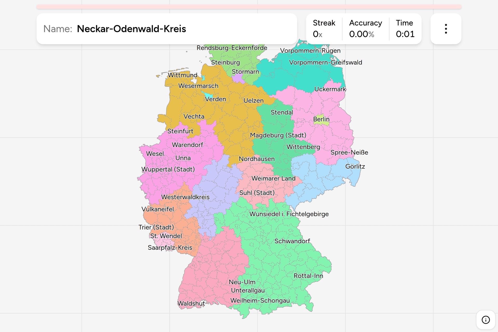
Germany is divided into sixteen states, and below them into the tier that
actually issues your number plate: 400 Landkreise and kreisfreie Städte. Every
German address sits in exactly one, the boundaries are signposted, and the
first letters of every car around you were handed out by the district office
of whichever one you are standing in. This page is the whole list, grouped by
state the way the game groups it.
The word changes with the state, which is the first thing to get used to. North
Rhine-Westphalia and Schleswig-Holstein call theirs a Kreis rather than a
Landkreis. Baden-Wuerttemberg calls its independent cities Stadtkreise
instead of kreisfreie Städte. Three districts have opted out of the vocabulary
altogether: Region Hannover, Städteregion Aachen and Regionalverband
Saarbrücken are each a city and its surrounding district merged into one
body, and each kept a name of its own invention. This game marks every
independent city "(Stadt)", so the type is on the label wherever the name
alone would leave you guessing.
Three of the sixteen states are cities themselves. Berlin and Hamburg are a
state and a district at once, so each is a single click on this map. Bremen is
a state of two: the city of Bremen, and Bremerhaven sixty kilometres downstream
with Lower Saxony in between.
Below a district are the Gemeinden, the eleven thousand or so municipalities
that actually run the schools and the water. Above it, in the larger states,
sits the Regierungsbezirk, an arm of the state government rather than an
elected tier, and it is not on this map.
The traps are mostly names that travel. There are two Frankfurts, and the game
distinguishes them the way Germany does, as Frankfurt am Main and Frankfurt
(Oder). Rostock is a city and a district of the same name, and the district is
officially called "Landkreis Rostock" for exactly that reason, which is why it
is the one name on this map with the word in front rather than behind.
Neustadt appears three times over with three
different tails, and Oldenburg is both a city in the north and the rural
district beside it. None of that is a memory problem, it is a reading problem:
the whole name is the answer.
- Schleswig-Holstein15 districts
- Dithmarschen, Flensburg (Stadt), Herzogtum Lauenburg, Kiel (Stadt), Lübeck (Stadt), Neumünster (Stadt), Nordfriesland, Ostholstein, Pinneberg, Plön, Rendsburg-Eckernförde, Schleswig-Flensburg, Segeberg, Steinburg, Stormarn
- Hamburg1 district
- Hamburg
- Bremen2 districts
- Bremen (Stadt), Bremerhaven (Stadt)
- Lower Saxony45 districts
- Ammerland, Aurich, Braunschweig (Stadt), Celle, Cloppenburg, Cuxhaven, Delmenhorst (Stadt), Diepholz, Emden (Stadt), Emsland, Friesland, Gifhorn, Göttingen, Goslar, Grafschaft Bentheim, Hameln-Pyrmont, Harburg, Heidekreis, Helmstedt, Hildesheim, Holzminden, Leer, Lüchow-Dannenberg, Lüneburg (Landkreis), Nienburg (Weser), Northeim, Oldenburg (Landkreis), Oldenburg (Oldenburg), Osnabrück (Landkreis), Osnabrück (Stadt), Osterholz, Peine, Region Hannover, Rotenburg (Wümme), Salzgitter (Stadt), Schaumburg, Stade, Uelzen, Vechta, Verden, Wesermarsch, Wilhelmshaven (Stadt), Wittmund, Wolfenbüttel, Wolfsburg (Stadt)
- Mecklenburg-Vorpommern8 districts
- Landkreis Rostock, Ludwigslust-Parchim, Mecklenburgische Seenplatte, Nordwestmecklenburg, Rostock (Stadt), Schwerin (Stadt), Vorpommern-Greifswald, Vorpommern-Rügen
- Thuringia22 districts
- Altenburger Land, Eichsfeld, Erfurt (Stadt), Gera (Stadt), Gotha, Greiz, Hildburghausen, Ilm-Kreis, Jena (Stadt), Kyffhäuserkreis, Nordhausen, Saale-Holzland-Kreis, Saale-Orla-Kreis, Saalfeld-Rudolstadt, Schmalkalden-Meiningen, Sömmerda, Sonneberg, Suhl (Stadt), Unstrut-Hainich-Kreis, Wartburgkreis, Weimar (Stadt), Weimarer Land
- Saxony13 districts
- Bautzen, Chemnitz (Stadt), Dresden (Stadt), Erzgebirgskreis, Görlitz, Leipzig, Leipzig (Stadt), Meißen, Mittelsachsen, Nordsachsen, Sächsische Schweiz-Osterzgebirge, Vogtlandkreis, Zwickau
- Berlin1 district
- Berlin
- Saxony-Anhalt14 districts
- Altmarkkreis Salzwedel, Anhalt-Bitterfeld, Börde, Burgenlandkreis, Dessau-Roßlau (Stadt), Halle (Saale), Harz, Jerichower Land, Magdeburg (Stadt), Mansfeld-Südharz, Saalekreis, Salzlandkreis, Stendal, Wittenberg
- Brandenburg18 districts
- Barnim, Brandenburg an der Havel (Stadt), Cottbus (Stadt), Dahme-Spreewald, Elbe-Elster, Frankfurt (Oder), Havelland, Märkisch-Oderland, Oberhavel, Oberspreewald-Lausitz, Oder-Spree, Ostprignitz-Ruppin, Potsdam-Mittelmark, Potsdam (Stadt), Prignitz, Spree-Neiße, Teltow-Fläming, Uckermark
- Hesse26 districts
- Bergstraße, Darmstadt-Dieburg, Darmstadt (Stadt), Frankfurt am Main (Stadt), Fulda, Gießen (Landkreis), Groß-Gerau, Hersfeld-Rotenburg, Hochtaunuskreis, Kassel (Landkreis), Kassel (Stadt), Lahn-Dill-Kreis, Limburg-Weilburg, Main-Kinzig-Kreis, Main-Taunus-Kreis, Marburg-Biedenkopf, Odenwaldkreis, Offenbach am Main (Stadt), Offenbach (Landkreis), Rheingau-Taunus-Kreis, Schwalm-Eder-Kreis, Vogelsbergkreis, Waldeck-Frankenberg, Werra-Meißner-Kreis, Wetteraukreis, Wiesbaden (Stadt)
- Saarland6 districts
- Merzig-Wadern, Neunkirchen, Regionalverband Saarbrücken, Saarlouis, Saarpfalz-Kreis, St. Wendel
- North Rhine-Westphalia53 districts
- Bielefeld (Stadt), Bochum (Stadt), Bonn (Stadt), Borken, Bottrop (Stadt), Coesfeld, Dortmund (Stadt), Düren, Düsseldorf (Stadt), Duisburg (Stadt), Ennepe-Ruhr-Kreis, Essen (Stadt), Euskirchen, Gelsenkirchen (Stadt), Gütersloh, Hagen (Stadt), Hamm (Stadt), Heinsberg, Herford, Herne (Stadt), Hochsauerlandkreis, Höxter, Kleve, Köln (Stadt), Krefeld (Stadt), Leverkusen (Stadt), Lippe, Märkischer Kreis, Mettmann, Minden-Lübbecke, Mönchengladbach (Stadt), Mülheim an der Ruhr (Stadt), Münster (Stadt), Oberbergischer Kreis, Oberhausen (Stadt), Olpe, Paderborn, Recklinghausen, Remscheid (Stadt), Rhein-Erft-Kreis, Rhein-Kreis Neuss, Rhein-Sieg-Kreis, Rheinisch-Bergischer Kreis, Siegen-Wittgenstein, Soest, Solingen (Stadt), Städteregion Aachen, Steinfurt, Unna, Viersen, Warendorf, Wesel, Wuppertal (Stadt)
- Rhineland-Palatinate36 districts
- Ahrweiler, Altenkirchen (Westerwald), Alzey-Worms, Bad Dürkheim, Bad Kreuznach, Bernkastel-Wittlich, Birkenfeld, Cochem-Zell, Donnersbergkreis, Eifelkreis Bitburg-Prüm, Frankenthal (Pfalz), Germersheim, Kaiserslautern (Landkreis), Kaiserslautern (Stadt), Koblenz (Stadt), Kusel, Landau in der Pfalz (Stadt), Ludwigshafen am Rhein (Stadt), Mainz-Bingen, Mainz (Stadt), Mayen-Koblenz, Neustadt an der Weinstraße (Stadt), Neuwied, Pirmasens (Stadt), Rhein-Hunsrück-Kreis, Rhein-Lahn-Kreis, Rhein-Pfalz-Kreis, Speyer (Stadt), Südliche Weinstraße, Südwestpfalz, Trier-Saarburg, Trier (Stadt), Vulkaneifel, Westerwaldkreis, Worms (Stadt), Zweibrücken (Stadt)
- Bavaria96 districts
- Aichach-Friedberg, Altötting, Amberg (Stadt), Amberg-Sulzbach, Ansbach (Landkreis), Ansbach (Stadt), Aschaffenburg (Landkreis), Aschaffenburg (Stadt), Augsburg (Landkreis), Augsburg (Stadt), Bad Kissingen, Bad Tölz-Wolfratshausen, Bamberg (Landkreis), Bamberg (Stadt), Bayreuth (Landkreis), Bayreuth (Stadt), Berchtesgadener Land, Cham, Coburg (Landkreis), Coburg (Stadt), Dachau, Deggendorf, Dillingen a.d. Donau, Dingolfing-Landau, Donau-Ries, Ebersberg, Eichstätt, Erding, Erlangen-Höchstadt, Erlangen (Stadt), Forchheim, Freising, Freyung-Grafenau, Fürstenfeldbruck, Fürth (Landkreis), Fürth (Stadt), Garmisch-Partenkirchen, Günzburg, Haßberge, Hof (Landkreis), Hof (Stadt), Ingolstadt (Stadt), Kaufbeuren (Stadt), Kelheim, Kempten (Allgäu), Kitzingen, Kronach, Kulmbach, Landsberg am Lech, Landshut (Landkreis), Landshut (Stadt), Lichtenfels, Lindau (Bodensee), Main-Spessart, Memmingen (Stadt), Miesbach, Miltenberg, Mühldorf a. Inn, München (Landkreis), München (Stadt), Neu-Ulm, Neuburg-Schrobenhausen, Neumarkt i.d. OPf., Neustadt a.d. Aisch-Bad Windsheim, Neustadt a.d. Waldnaab, Nürnberg (Stadt), Nürnberger Land, Oberallgäu, Ostallgäu, Passau (Landkreis), Passau (Stadt), Pfaffenhofen a.d. Ilm, Regen, Regensburg (Landkreis), Regensburg (Stadt), Rhön-Grabfeld, Rosenheim (Landkreis), Rosenheim (Stadt), Roth, Rottal-Inn, Schwabach (Stadt), Schwandorf, Schweinfurt (Landkreis), Schweinfurt (Stadt), Starnberg, Straubing-Bogen, Straubing (Stadt), Tirschenreuth, Traunstein, Unterallgäu, Weiden i.d. Opf (Stadt), Weilheim-Schongau, Weißenburg-Gunzenhausen, Würzburg (Landkreis), Würzburg (Stadt), Wunsiedel i. Fichtelgebirge
- Baden-Württemberg44 districts
- Alb-Donau-Kreis, Baden-Baden (Stadt), Biberach, Bodenseekreis, Böblingen, Breisgau-Hochschwarzwald, Calw, Emmendingen, Enzkreis, Esslingen, Freiburg im Breisgau (Stadt), Freudenstadt, Göppingen, Heidelberg (Stadt), Heidenheim, Heilbronn (Landkreis), Heilbronn (Stadt), Hohenlohekreis, Karlsruhe (Landkreis), Karlsruhe (Stadt), Konstanz, Lörrach, Ludwigsburg, Main-Tauber-Kreis, Mannheim (Stadt), Neckar-Odenwald-Kreis, Ortenaukreis, Ostalbkreis, Pforzheim (Stadt), Rastatt, Ravensburg, Rems-Murr-Kreis, Reutlingen, Rhein-Neckar-Kreis, Rottweil, Schwäbisch Hall, Schwarzwald-Baar-Kreis, Sigmaringen, Stuttgart (Stadt), Tübingen (Landkreis), Tuttlingen, Ulm (Stadt), Waldshut, Zollernalbkreis
Each state can be switched on and off on its own in the start dialog, which is
the only sane way through a list this long. Saarland is ten minutes, Bavaria is
a project, and nobody should meet all sixteen at once.