Mauritania is a country of a million square kilometres in which most of the
land is desert and most of the people are in a few places: the capital on the
coast, the towns along the Senegal river, and the oases and railway stops
between. Its regions (wilayas) are how any of it is placed, from the Adrar and
its date palms to the two Hodhs that fill the east.
- The quiz
- Name to place, on the map
- Grouped by
- Where they sit: the north, the centre, the east, the river valley and Nouakchott
- In the game
- 15 regions
What you are looking at
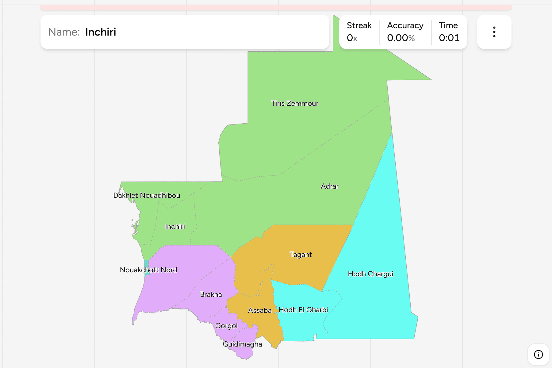
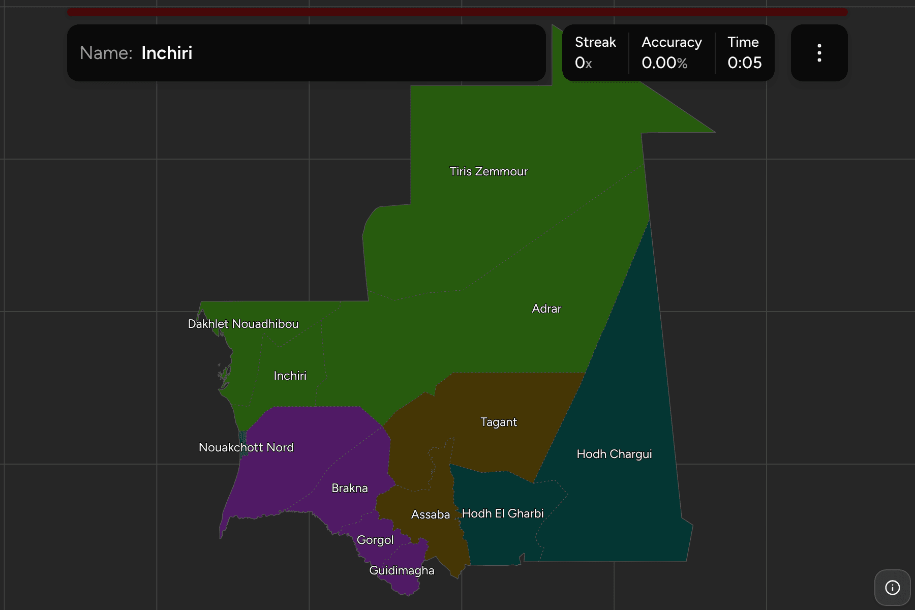
The 15 regions (wilayas) of Mauritania, the first tier of the country. Twelve
cover the land, and the capital, Nouakchott, is cut into three of its own:
Nord, Ouest and Sud. Those three are the smallest answers on the map, a few
hundred square kilometres each on the coast, and the game gives them tap areas.
The northern regions are enormous and nearly empty. Tiris Zemmour alone is a
quarter of the country. The south is the opposite, with small regions packed
along the river that marks the border with Senegal.
The groups are informal. Mauritania has no tier between its regions and the
country, so these are the ones people use to place a region in conversation. They
are not administrative, and the borders of the regions match those of the
Mauritania Departments exactly.
How to place one
- Start with the three biggest. Tiris Zemmour, Adrar and Hodh Chargui fill
the north and the east.
- Follow the river. Trarza, Brakna, Gorgol and Guidimagha run along the
Senegal border from the coast to the Mali corner.
- Pair the Hodhs. Hodh Chargui and Hodh El Gharbi share a stem and sit one
beside the other, east and west.
- Put the capital on the coast last. The three Nouakchott regions are
where Trarza meets the Atlantic.
Every region, by group
- The north4 regions
- Adrar, Dakhlet Nouadhibou, Inchiri, Tiris Zemmour
- The river valley4 regions
- Brakna, Gorgol, Guidimagha, Trarza
- The east2 regions
- Hodh Chargui, Hodh El Gharbi
- The centre2 regions
- Assaba, Tagant
- Nouakchott3 regions
- Nouakchott Nord, Nouakchott Ouest, Nouakchott Sud
Worked examples
Tiris ZemmourThe biggest of themTiris Zemmour is the largest region, the whole north east, mostly desert and
home to the iron ore mines at Zouerate.
Nouakchott NordThe smallest of themNouakchott Nord is the smallest region, one of three the capital is divided
into. It is small enough to need a tap area on the map.
Dakhlet NouadhibouThe one on the AtlanticDakhlet Nouadhibou is the north west coast around the country's second city,
where the ore railway ends and the Banc d'Arguin lies offshore.
Frequently asked questions
How many regions does Mauritania have?
15 on this map: twelve regions and the three that Nouakchott is divided into.
Are the groups official?
No. There is no tier between the regions and the country, so the groups are the informal ones used to say where a region is.
What is below the region?
The departments (moughataas), which number 63 on this map. They are their own quiz.
The tier below this one is Mauritania Departments.
For another country at this level, see Morocco Regions.
Sources