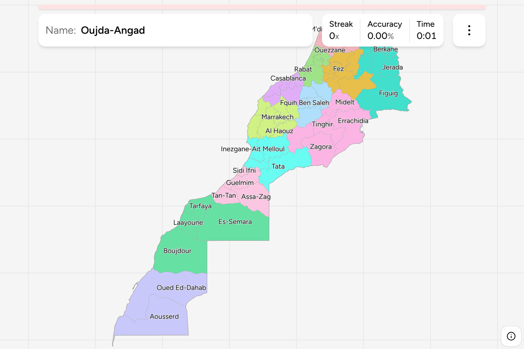
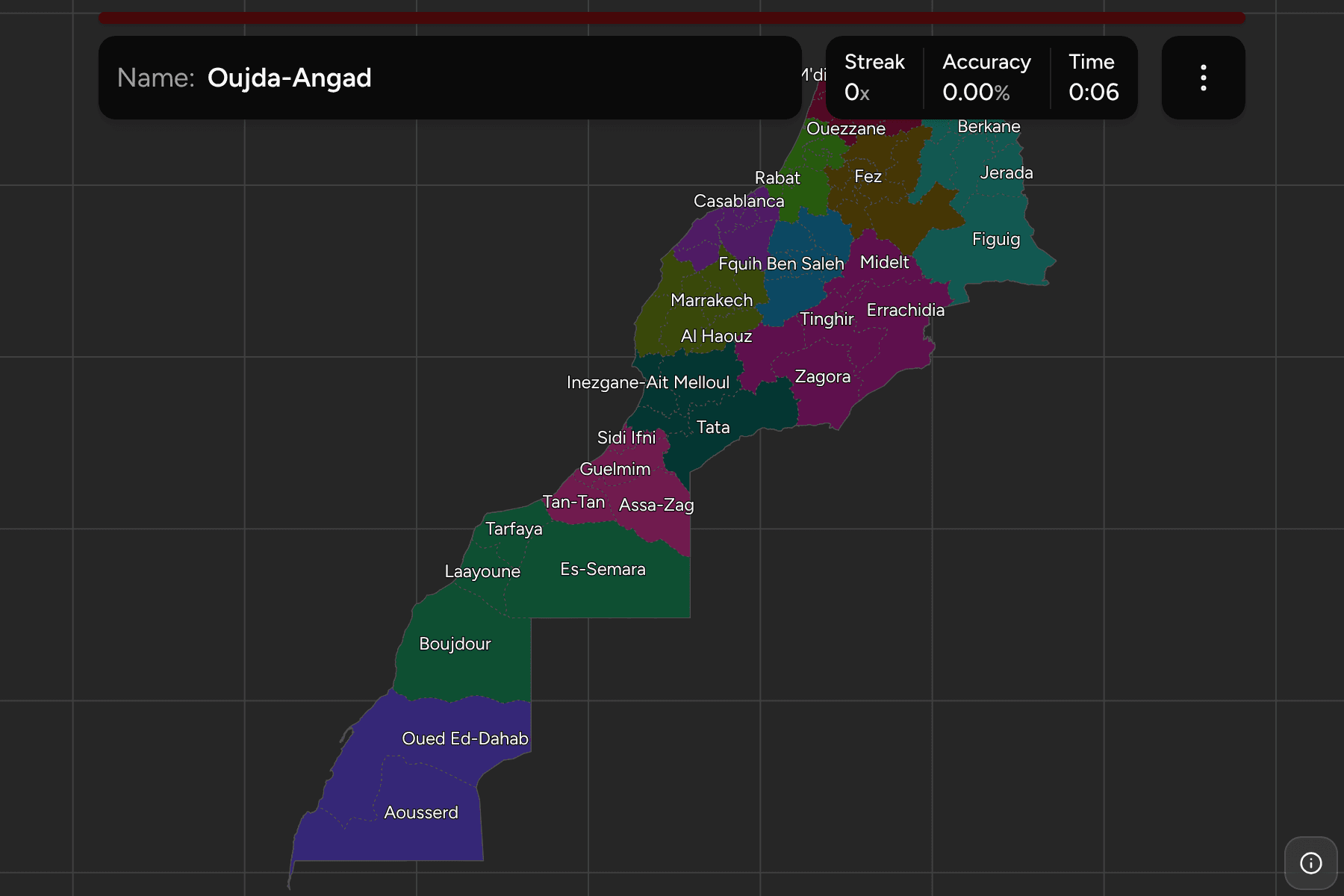
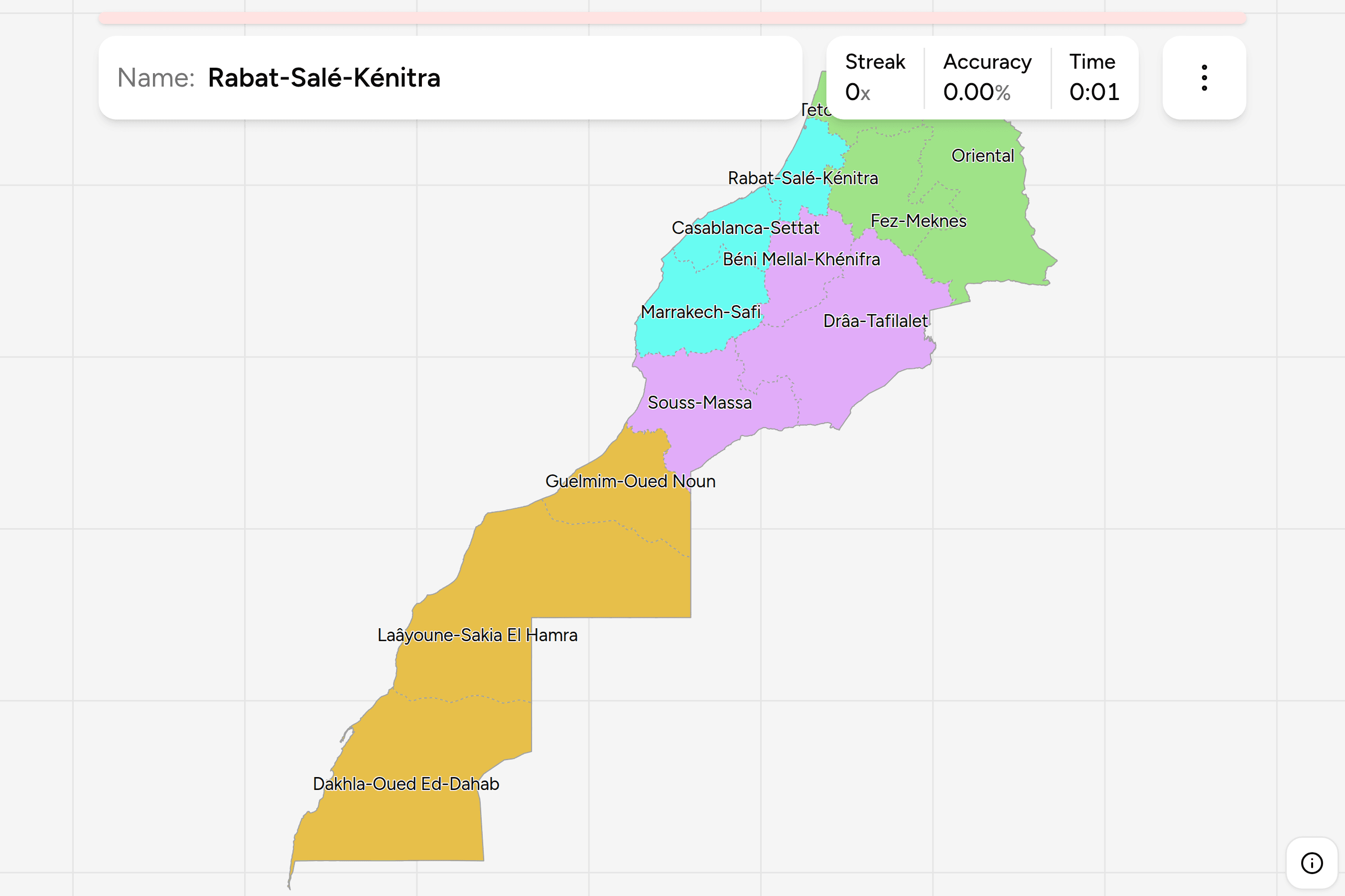
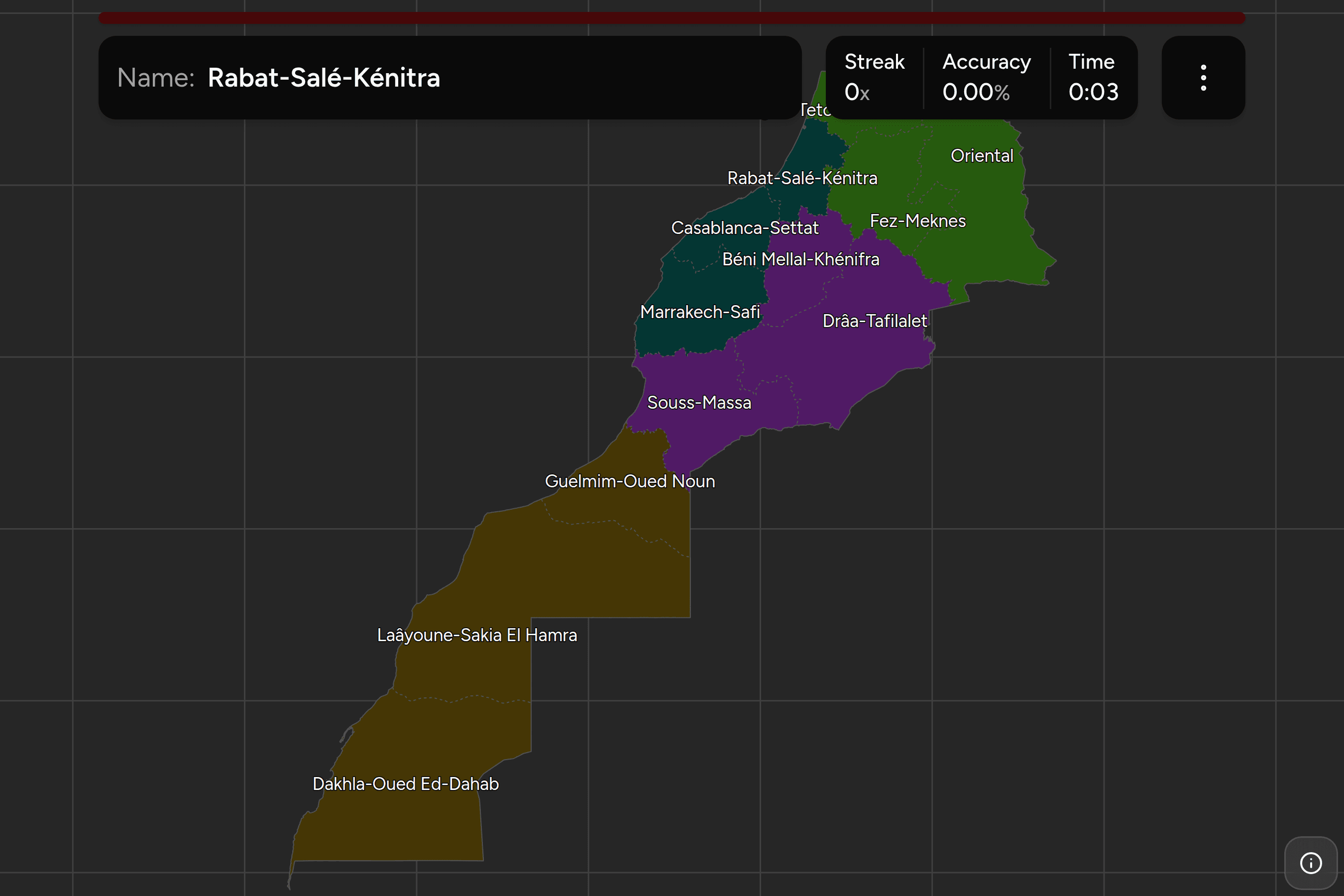
A Moroccan region tells you which of twelve long slices of the country you are
in, and the province is the tier that names a town. It is the number at the end
of a civilian number plate, the unit the state uses when it appoints a governor,
and the answer to "where in Morocco is that?" once the regions stop being a
challenge. This page is the provinces and prefectures, the region each one sits
in, and what tells one from its neighbours.
- The quiz
- Name to place, on the map
- Where it helps
- Plate province numbers, road signs, town names
- Grouped by
- The twelve regions of the 2015 reform
- In the game
- 75 province or prefectures
What you are looking at
Morocco's second tier is made of provinces and prefectures, and the difference
is mostly about whether a place is a city. A prefecture is an urban unit,
usually a city and the ring round it; a province is the rural kind, usually
named for its largest town. Both are governed by a governor appointed from
Rabat, both sit inside exactly one of the twelve regions, and for a quiz they
are the same thing, which is why they share one map.
Thirteen of the units are prefectures, and they are the small ones in the
north and along the Atlantic: Casablanca, Rabat, Salé, Skhirate-Témara,
Mohammédia, Fez, Meknes, Marrakech, Tangier-Assilah, M'diq-Fnideq,
Oujda-Angad, Agadir Ida-Outanane and Inezgane-Ait Melloul. The rest are
provinces. The names here drop the word, so Casablanca is not "Prefecture of
Casablanca"; every name can be switched to Arabic in the start dialog, which is
the form on the left of a Moroccan road sign.
The sizes are wildly uneven. Rabat is a little over a hundred square
kilometres, and the largest provinces in the Sahara are several hundred times
that. The northern half of the map is a crowd of small units, and most of the
area is in a handful of enormous ones in the south and east. The smallest
prefectures carry a tap area wider than their shape, and a few of them are only
comfortable to tap once you zoom in.
Each province belongs to one region, and the game uses that as its groups.
The region is read off the same boundaries as the regions game rather than
transcribed, so the two always agree. Any of the twelve can be switched on and
off in the start dialog, which is the quickest way to learn the map: take one
region, learn its provinces, then add the next.
How to place one
- Place the region first. Twelve regions is a small enough map to hold in
your head, and a province is almost always easier once you know which band of
the country it is in. The regions game is the place to learn that.
- Then use the size. In the north and on the Atlantic coast the units are
small and close together, and a city name is usually a prefecture. In the
south and east they are large and few, and you are placing a long border or
an oasis rather than a town.
- Then read the plate. A Moroccan civilian plate ends in a number that is
the province or prefecture. It does not name a region, so the number narrows
you to a unit and the work is knowing where that unit is.
- Then check the sign. Direction signs carry Arabic and a Latin
transcription, and newer ones add Tifinagh. The place names on them are the
provincial and prefectural towns this quiz asks about.
The traps are mostly the same shape: a famous place that is not where its name
suggests.
Famous towns and the unit they are in. Chefchaouen, the blue one, is a
province of its own in the north. Ifrane, the alpine-looking one, is a province
in the Fez-Meknes region. Essaouira is a province in Marrakech-Safi, not part of
Agadir's. Merzouga and its dunes are in Errachidia, and Ait Benhaddou is in
Ouarzazate.
Provinces named after a place they do not contain. Oujda-Angad is the
prefecture round Oujda, and Berkane, Nador and Taourirt are separate provinces
beside it, so "near Oujda" is not an answer. Agadir Ida-Outanane is the
prefecture and Taroudant, Tiznit and Chtouka-Ait Baha are its neighbours in
the same region.
Provinces on the Algerian border. The border runs from the Mediterranean
past Figuig and then south into the desert, and a string of provinces touch it:
the Oriental's several, then Figuig, Errachidia, Zagora, Tata and Assa-Zag.
Figuig is by far the largest of the Oriental's provinces.
Every province, by region
- Rabat-Salé-Kénitra7 provinces
- Kenitra (القنيطرة), Khémisset (الخميسات), Rabat (الرباط), Salé (سلا), Sidi Kacem (سيدي قاسم), Sidi Slimane (سيدي سليمان), Skhirate-Témara (الصخيرات تمارة)
- Casablanca-Settat9 provinces
- Benslimane (بن سليمان), Berrechid (برشيد), Casablanca (الدار البيضاء), El Jadida (الجديدة), Médiouna (مديونة), Mohammédia (المحمدية), Nouaceur (النواصر), Settat (سطات), Sidi Bennour (سيدي بنور)
- Souss-Massa6 provinces
- Agadir Ida-Outanane (أكادير إداوتنان), Chtouka-Ait Baha (اشتوكة آيت باها), Inezgane-Ait Melloul (إنزكان آيت ملول), Taroudant (تارودانت), Tata (طاطا), Tiznit (تيزنيت)
- Fez-Meknes9 provinces
- Boulemane (بولمان), El Hajeb (الحاجب), Fez (فاس), Ifrane (إفران), Meknes (مكناس), Moulay Yacoub (مولاي يعقوب), Sefrou (صفرو), Taounate (تاونات), Taza (تازة)
- Oriental8 provinces
- Berkane (بركان), Driouch (الدريوش), Figuig (فكيك), Guercif (جرسيف), Jerada (جرادة), Nador (الناظور), Oujda-Angad (وجدة أنجاد), Taourirt (تاوريرت)
- Tangier-Tetouan-Al Hoceima8 provinces
- Al Hoceima (الحسيمة), Chefchaouen (شفشاون), Fahs-Anjra (الفحص أنجرة), Larache (العرائش), M'diq-Fnideq (المضيق الفنيدق), Ouezzane (وزان), Tangier-Assilah (طنجة أصيلة), Tetouan (تطوان)
- Béni Mellal-Khénifra5 provinces
- Azilal (أزيلال), Beni Mellal (بني ملال), Fquih Ben Saleh (الفقيه بن صالح), Khénifra (خنيفرة), Khouribga (خريبكة)
- Marrakech-Safi8 provinces
- Al Haouz (الحوز), Chichaoua (شيشاوة), El Kelâat Es-Sraghna (قلعة السراغنة), Essaouira (الصويرة), Marrakech (مراكش), Rhamna (الرحامنة), Safi (أسفي), Youssoufia (اليوسفية)
- Laâyoune-Sakia El Hamra4 provinces
- Boujdour (بوجدور), Es-Semara (السمارة), Laayoune (العيون), Tarfaya (طرفاية)
- Drâa-Tafilalet5 provinces
- Errachidia (الرشيدية), Midelt (ميدلت), Ouarzazate (ورزازات), Tinghir (تنغير), Zagora (زاكورة)
- Dakhla-Oued Ed-Dahab2 provinces
- Aousserd (أوسرد), Oued Ed-Dahab (وادي الذهب)
- Guelmim-Oued Noun4 provinces
- Assa-Zag (أسا الزاك), Guelmim (كلميم), Sidi Ifni (سيدي إفني), Tan-Tan (طانطان)
Worked examples
RabatThe smallest one, and the capitalRabat: the prefecture that is the capital and little more, wedged between the
Atlantic, the Bou Regreg river and its neighbours Salé and Skhirate-Témara.
It is the smallest unit on the map and is easy to lose between the other two,
so zoom in before you tap. The three together are the capital's
conurbation, and Salé is on the opposite bank of the river.
FiguigThe oasis at the end of the countryFiguig: the south-eastern corner of the Oriental region, a huge province of
stony desert on the Algerian border named for the palm-oasis town in it. It is
several times the size of any other province in its region, which is the
quickest way to recognise it on the map.
ChefchaouenThe blue town is not a coastal oneChefchaouen: a mountain province in the Rif, inland from Tetouan and
M'diq-Fnideq, in the Tangier-Tetouan-Al Hoceima region. The town is the
blue-washed one on every photo of northern Morocco, and the province is steep,
wet and green, which is a good contrast to the dry units to its south and east.
Frequently asked questions
What is the difference between a province and a prefecture in Morocco?
A prefecture is an urban unit, normally a large city and the area round it, while a province is the rural kind and is usually named for its main town. Both are the same tier of administration, sit directly under one of the twelve regions and are headed by a governor appointed by the king, so this quiz treats them as one map.
Do Moroccan number plates show the province?
Yes. A civilian plate carries a serial number, an Arabic letter and a final number that identifies the province or prefecture. It does not show the region, so the number narrows you to one unit and you still need to know where that unit is. Diplomatic, military and temporary plates use different formats.
How many provinces and prefectures does Morocco have, and has it changed?
The map here is the 62 provinces and 13 prefectures that make up the tier below the twelve regions. New provinces are created from time to time by splitting a larger one, so an older map or dataset may show fewer, and a newer one may show more. If a count in a source disagrees, check its year.
Does this quiz include Western Sahara?
Yes. The southern provinces, which Morocco administers as part of Laayoune-Sakia El Hamra and Dakhla-Oued Ed-Dahab, are on the map as they are in Morocco's own administrative division, the same as in the regions game. Western Sahara's sovereignty is disputed between Morocco and the Polisario Front, and the game takes no position on it.
Which Moroccan provinces are easiest to confuse?
The prefectures of the Atlantic conurbations, since Rabat, Salé and Skhirate-Témara sit shoulder to shoulder, and Casablanca, Mohammédia, Médiouna and Nouaceur do the same round the biggest city. Further south the large desert provinces are told apart mainly by which border or coast they touch.
The regions come first in Morocco Regions. For other African
administrative maps, try Egypt Governorates, Kenya
Counties and Tunisia Governorates.
Sources