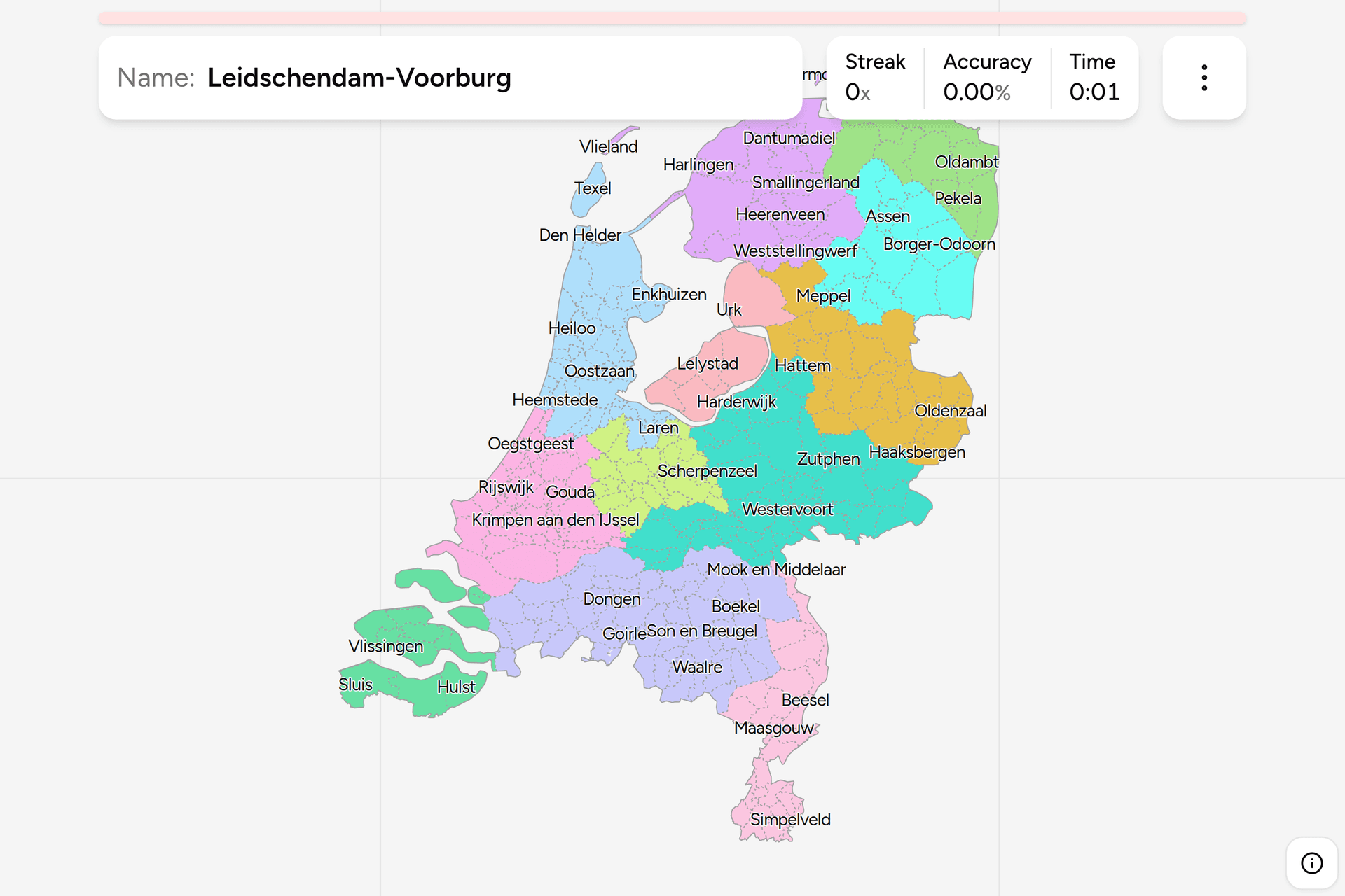
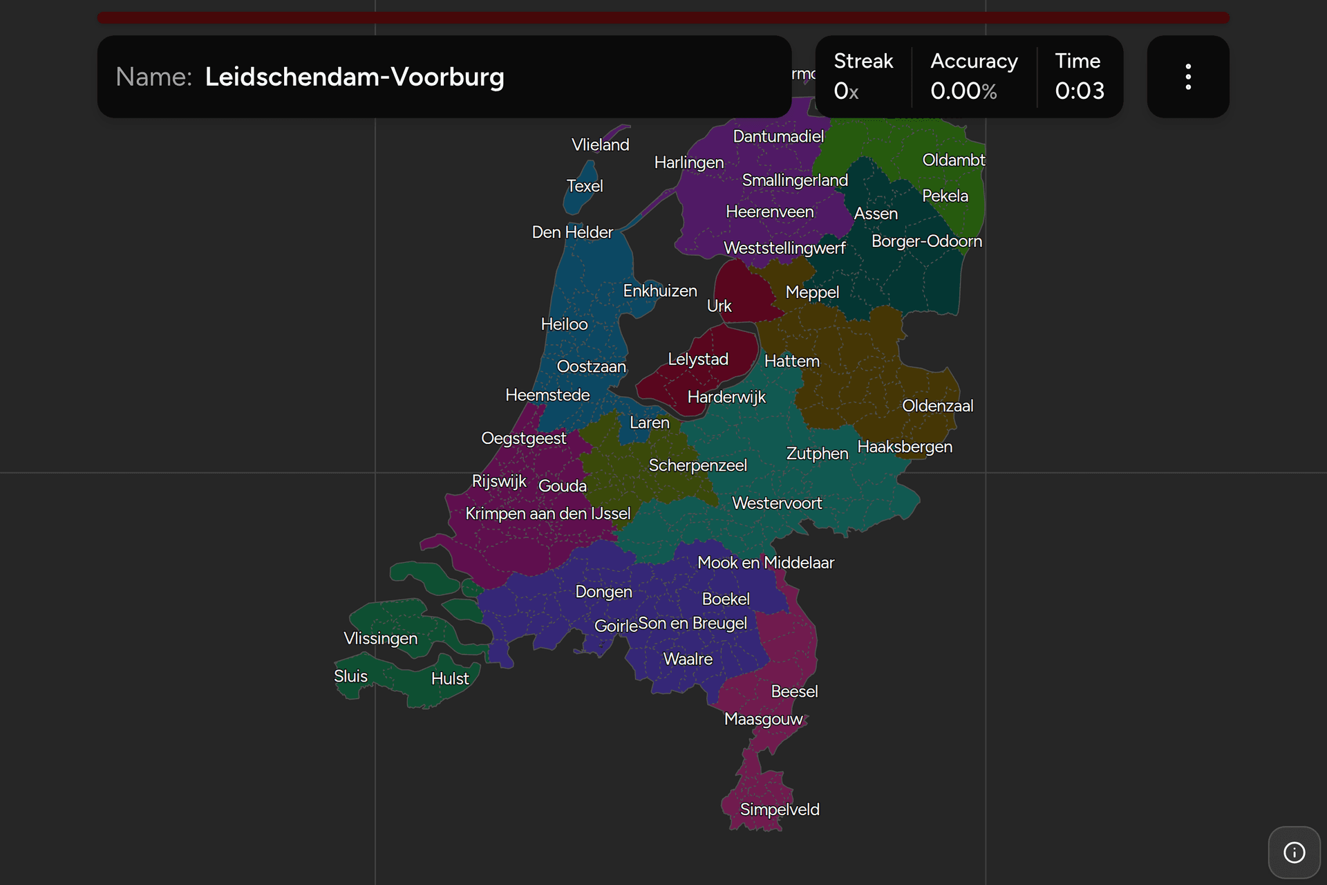
The Netherlands is divided into twelve provinces and, below them, into the tier
that actually runs the place: 342 gemeenten. Every Dutch address sits in exactly
one, the boundary is signposted, and the name is on the street signs, the bins
and the parking machines around you. This page is the whole list, grouped by
province the way the game groups it.
The number keeps falling, and that is the other thing to know before you start
counting. Dutch municipalities have been merged steadily for a century: 537 in
2000, 431 in 2010, 355 in 2020, and 342 since the start of 2023. Almost every
merger produces a name that is not a town, which is why so much of this list
reads like geography rather than a gazetteer: Súdwest-Fryslân, Het Hogeland,
Westerkwartier, Hoeksche Waard, Land van Cuijk, Molenlanden, Berg en Dal and
Dijk en Waard are all recent inventions covering a dozen villages each.
The name is not always the town you have heard of. A municipality is usually
named after its largest place, but it holds every village around it too, so
Súdwest-Fryslân covers dozens of towns and villages and Amsterdam has been one
municipality with Weesp since 2022. In Friesland the official names
are Frisian rather than Dutch, which is where Tytsjerksteradiel, Noardeast-Fryslân
and Waadhoeke come from.
For a photograph, this is the finest administrative clue the Netherlands offers.
Many municipalities put their name or their coat of arms on the street name
signs, most of them badge their own bins, parking machines and works vehicles,
and the white boundary signs on the road name the one you are entering. Failing
that, the blue place name sign gives you a village, and the village gives you the
municipality if you know this map.
The traps are names that repeat or move. There are two municipalities called
Bergen, one in Limburg and one in North Holland, and the register keeps them
apart exactly as this game does, with the province in brackets. Hengelo carries
its province for the same reason, because there was a second Hengelo in
Gelderland until 2005. Rozendaal, a village north of Arnhem, is a municipality of
its own and is not Roosendaal, the town of 77,000 in North Brabant at the other
end of the country. Baarle-Nassau on the Belgian border is the one shape on
this map with holes in it, and the holes are Belgium: nine enclaves of Baarle-Hertog
sit inside it, which is not something to fix your click on. Beware also of the town that is not the municipality:
Delfzijl, Appingedam and Loppersum are all still towns and have not been
municipalities since they merged into Eemsdelta in 2021, and Uden and Landerd
became Maashorst the year after.
- Groningen10 municipalities
- Eemsdelta, Groningen, Het Hogeland, Midden-Groningen, Oldambt, Pekela, Stadskanaal, Veendam, Westerkwartier, Westerwolde
- Friesland18 municipalities
- Achtkarspelen, Ameland, Dantumadiel, De Fryske Marren, Harlingen, Heerenveen, Leeuwarden, Noardeast-Fryslân, Ooststellingwerf, Opsterland, Schiermonnikoog, Smallingerland, Súdwest-Fryslân, Terschelling, Tytsjerksteradiel, Vlieland, Waadhoeke, Weststellingwerf
- Drenthe12 municipalities
- Aa en Hunze, Assen, Borger-Odoorn, Coevorden, De Wolden, Emmen, Hoogeveen, Meppel, Midden-Drenthe, Noordenveld, Tynaarlo, Westerveld
- Overijssel25 municipalities
- Almelo, Borne, Dalfsen, Deventer, Dinkelland, Enschede, Haaksbergen, Hardenberg, Hellendoorn, Hengelo (O), Hof van Twente, Kampen, Losser, Oldenzaal, Olst-Wijhe, Ommen, Raalte, Rijssen-Holten, Staphorst, Steenwijkerland, Tubbergen, Twenterand, Wierden, Zwartewaterland, Zwolle
- Gelderland51 municipalities
- Aalten, Apeldoorn, Arnhem, Barneveld, Berg en Dal, Berkelland, Beuningen, Bronckhorst, Brummen, Buren, Culemborg, Doesburg, Doetinchem, Druten, Duiven, Ede, Elburg, Epe, Ermelo, Harderwijk, Hattem, Heerde, Heumen, Lingewaard, Lochem, Maasdriel, Montferland, Neder-Betuwe, Nijkerk, Nijmegen, Nunspeet, Oldebroek, Oost Gelre, Oude IJsselstreek, Overbetuwe, Putten, Renkum, Rheden, Rozendaal, Scherpenzeel, Tiel, Voorst, Wageningen, West Betuwe, West Maas en Waal, Westervoort, Wijchen, Winterswijk, Zaltbommel, Zevenaar, Zutphen
- Flevoland6 municipalities
- Almere, Dronten, Lelystad, Noordoostpolder, Urk, Zeewolde
- North Holland44 municipalities
- Aalsmeer, Alkmaar, Amstelveen, Amsterdam, Bergen (NH), Beverwijk, Blaricum, Bloemendaal, Castricum, Den Helder, Diemen, Dijk en Waard, Drechterland, Edam-Volendam, Enkhuizen, Gooise Meren, Haarlem, Haarlemmermeer, Heemskerk, Heemstede, Heiloo, Hilversum, Hollands Kroon, Hoorn, Huizen, Koggenland, Landsmeer, Laren, Medemblik, Oostzaan, Opmeer, Ouder-Amstel, Purmerend, Schagen, Stede Broec, Texel, Uitgeest, Uithoorn, Velsen, Waterland, Wijdemeren, Wormerland, Zaanstad, Zandvoort
- Utrecht26 municipalities
- Amersfoort, Baarn, Bunnik, Bunschoten, De Bilt, De Ronde Venen, Eemnes, Houten, IJsselstein, Leusden, Lopik, Montfoort, Nieuwegein, Oudewater, Renswoude, Rhenen, Soest, Stichtse Vecht, Utrecht, Utrechtse Heuvelrug, Veenendaal, Vijfheerenlanden, Wijk bij Duurstede, Woerden, Woudenberg, Zeist
- Zeeland13 municipalities
- Borsele, Goes, Hulst, Kapelle, Middelburg, Noord-Beveland, Reimerswaal, Schouwen-Duiveland, Sluis, Terneuzen, Tholen, Veere, Vlissingen
- South Holland50 municipalities
- Alblasserdam, Albrandswaard, Alphen aan den Rijn, Barendrecht, Bodegraven-Reeuwijk, Capelle aan den IJssel, Delft, Den Haag, Dordrecht, Goeree-Overflakkee, Gorinchem, Gouda, Hardinxveld-Giessendam, Hendrik-Ido-Ambacht, Hillegom, Hoeksche Waard, Kaag en Braassem, Katwijk, Krimpen aan den IJssel, Krimpenerwaard, Lansingerland, Leiden, Leiderdorp, Leidschendam-Voorburg, Lisse, Maassluis, Midden-Delfland, Molenlanden, Nieuwkoop, Nissewaard, Noordwijk, Oegstgeest, Papendrecht, Pijnacker-Nootdorp, Ridderkerk, Rijswijk, Rotterdam, Schiedam, Sliedrecht, Teylingen, Vlaardingen, Voorne aan Zee, Voorschoten, Waddinxveen, Wassenaar, Westland, Zoetermeer, Zoeterwoude, Zuidplas, Zwijndrecht
- North Brabant56 municipalities
- Alphen-Chaam, Altena, Asten, Baarle-Nassau, Bergeijk, Bergen op Zoom, Bernheze, Best, Bladel, Boekel, Boxtel, Breda, Cranendonck, Deurne, Dongen, Drimmelen, Eersel, Eindhoven, Etten-Leur, Geertruidenberg, Geldrop-Mierlo, Gemert-Bakel, Gilze en Rijen, Goirle, Halderberge, Heeze-Leende, Helmond, Heusden, Hilvarenbeek, Laarbeek, Land van Cuijk, Loon op Zand, Maashorst, Meierijstad, Moerdijk, Nuenen c.a., Oirschot, Oisterwijk, Oosterhout, Oss, Reusel-De Mierden, Roosendaal, Rucphen, 's-Hertogenbosch, Sint-Michielsgestel, Someren, Son en Breugel, Steenbergen, Tilburg, Valkenswaard, Veldhoven, Vught, Waalre, Waalwijk, Woensdrecht, Zundert
- Limburg31 municipalities
- Beek, Beekdaelen, Beesel, Bergen (L), Brunssum, Echt-Susteren, Eijsden-Margraten, Gennep, Gulpen-Wittem, Heerlen, Horst aan de Maas, Kerkrade, Landgraaf, Leudal, Maasgouw, Maastricht, Meerssen, Mook en Middelaar, Nederweert, Peel en Maas, Roerdalen, Roermond, Simpelveld, Sittard-Geleen, Stein, Vaals, Valkenburg aan de Geul, Venlo, Venray, Voerendaal, Weert
Each province can be switched on and off on its own in the start dialog, which
is the only sane way through a list this long. Flevoland is six answers and ten
minutes, North Brabant is a project, and nobody should meet all twelve at once.
Two names in that list are not the ones in the municipal register. The Hague is
formally 's-Gravenhage and is Den Haag on every sign, station and map, so Den
Haag is what this game draws. Nuenen, Gerwen en Nederwetten is three villages in
one municipality and the only official name with a comma in it, which would read
as three separate answers in a list like the one above, so it appears here under
the abbreviation the municipality itself signs with, Nuenen c.a.