The Netherlands is a small country with a long memory, and its twelve provinces
are most of that memory: seven of them were sovereign states in the Dutch
Republic, one was drained out of an inland sea within living memory, and the
one everybody names the whole country after is two of them. This page is the
full set, and the game asks you to put each name where it belongs, in English
or the way it is written in Dutch.
- The quiz
- Name to place, on the map
- Names
- English or Dutch
- In the game
- 12 provinces
What you are looking at
A provincie is the tier between the national government and the
municipality. Each has a directly elected parliament, the Provinciale Staten, an
executive drawn from it, and a King's Commissioner appointed by the Crown rather
than elected, sitting in a provincial capital. What they run is the middle
scale of the country: the N roads, spatial planning, nature and water policy,
and the supervision of the municipalities below them. The provincial elections
carry a national weight out of proportion to any of that, because the people
elected in them are the ones who then elect the Senate.
They are also the oldest political map the Netherlands has. Six of the seven
provinces of the Dutch Republic are still on it under their own names, and
Holland is on it twice: it was split into a northern and a southern half in
1840 and never rejoined, which is why the country's two best known cities sit
in two different provinces. North Brabant and Limburg came in from the other
direction, having been governed as conquered territory by the Republic rather
than as members of it, and only became provinces in the nineteenth century.
Flevoland is the exception to all of it, and worth looking at before anything
else on this map. It is the floor of the Zuiderzee: diked, pumped dry and
farmed between 1942 and 1968, given its towns afterwards, and made a province in
1986. Nothing else in Europe is quite like it, and it is why the middle of the
country looks drawn with a ruler.
For a photograph, the province is rarely written on anything. What gives it away
is the ground itself: bilingual Frisian and Dutch signs in the north, ruled
polder grids and young towns in the reclaimed middle, sandy heath and farms in
the east, hills and a Catholic south in Limburg, water and dikes everywhere in
the delta.
How to place one
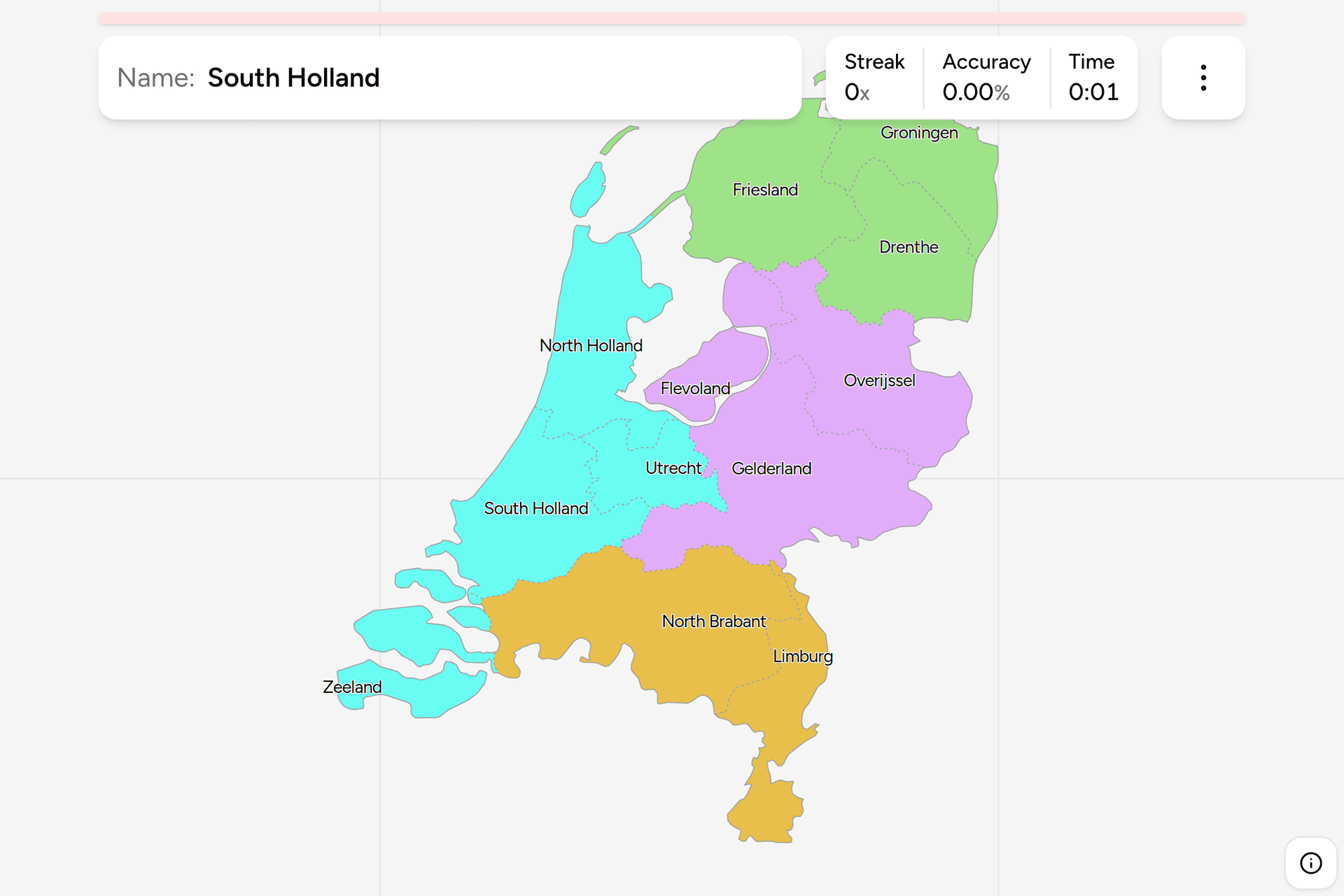
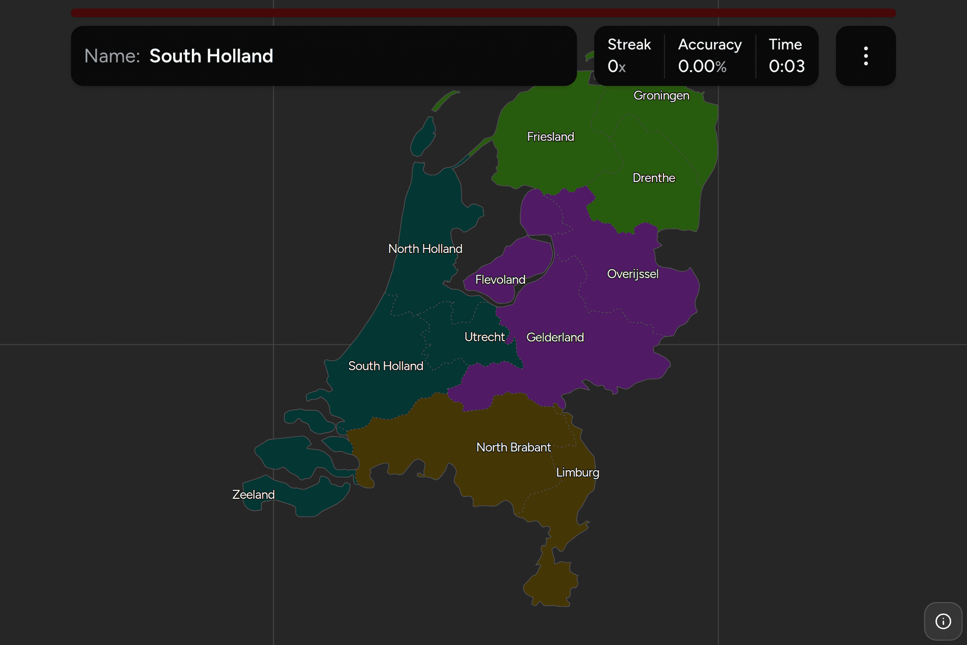
- Take the reclaimed middle first. Flevoland is the ruled shape of polder
in the middle of the country, an island with the IJsselmeer around it and
the old coastline curving away to the west. It cannot be confused with
anything, and once it is placed the provinces around the old Zuiderzee have
somewhere to sit.
- Then the three in the north. Above the water and to the right of it: the
northwest corner with the islands off it is Friesland, the northeast corner
against Germany is Groningen, and Drenthe is the landlocked one tucked
underneath the two of them.
- Then the two southern ones. North Brabant is the wide province along the
Belgian border, and Limburg is the narrow strip hanging off its eastern end
between Belgium and Germany, which is the piece of the country nobody
mistakes for anything else.
- Then the west coast. The urban half of the country runs from north to
south in two provinces: North Holland is the peninsula that carries Amsterdam
and reaches up between the North Sea and the IJsselmeer, and South Holland is
below it with Rotterdam and The Hague. Zeeland is the archipelago of islands
and estuaries in the far southwest.
- What is left is the east. Overijssel above, Gelderland below it and much
larger, and Utrecht is the small one in the middle of the country between
Gelderland and South Holland.
The traps are all names. Holland is two provinces and not the country, so a
question asking for one of them is asking which half. Zeeland is the delta in
the southwest and has nothing to do with New Zealand's spelling of it or with
Zealand in Denmark. Friesland is the province and Fryslân is the same place in
Frisian, which is the language on half the signs there and the province's
official name in law. And Groningen and Utrecht are cities as well as
provinces: two of the twelve share a name with their largest city, which makes
the name easy and the boundary the actual question.
Every province, by part of the country
- North3 provinces
- Drenthe, Friesland (Fryslân), Groningen
- East3 provinces
- Flevoland, Gelderland, Overijssel
- West4 provinces
- North Holland (Noord-Holland), Utrecht, Zeeland, South Holland (Zuid-Holland)
- South2 provinces
- Limburg, North Brabant (Noord-Brabant)
The name in brackets is the Dutch one, which is what the road sign, the weather
forecast and the provincial government all use, and what the game shows if you
turn on the local name in the start dialog. Eight of the twelve are the same
word either way; the compass names translate, and Friesland is Fryslân.
The four groups are the landsdelen, which is the country's own quartering and
what Statistics Netherlands publishes almost everything by. Each can be played
on its own, though South is a two question drill and worth combining with
something.
Worked examples
FlevolandThe one that was a seaThe youngest province in the country and the youngest land: the Noordoostpolder
came dry in 1942 and the two Flevopolders in 1957 and 1968, all of it the bed
of the Zuiderzee before the Afsluitdijk closed it off in 1932. It became a
province in 1986, so it is younger than most people playing this. On the map
it is the ruled shape in the middle with the lake all around it, reached only
by bridges and dikes, and Urk, an island in the Zuiderzee until 1939, is now
a bump on its northwestern edge.
North HollandHalf of HollandThe peninsula between the North Sea and the IJsselmeer, with Texel off the top
of it and Amsterdam near the bottom. It was the northern half of the single
province of Holland until 1840, which is the whole explanation for the name,
and the county of Holland before that was the power that gave the country its
nickname in most European languages. Note where the boundary is: Amsterdam is
in this province and The Hague and Rotterdam are in the other one.
FrieslandThe one with two namesThe northwestern province, the islands off its coast included, and the only
one whose own language is a second official language of the country. Frisian
is spoken by several hundred thousand people, the place name signs are
bilingual, and since 2020 the province's name in law is the Frisian form,
Fryslân. Turn on the local name in the start dialog and this is the one that
changes most.
LimburgThe odd shapeThe long thin province in the southeast, pinched to a few kilometres wide in
places between Belgium and Germany, and the only part of the Netherlands with
hills worth the word: the country's highest point is at its southern tip, near
where three borders meet. It joined the kingdom late and awkwardly, spent
1839 to 1866 simultaneously a Dutch province and a member of the German
Confederation, and still sounds and eats differently from the rest of the
country.
Frequently asked questions
How many provinces does the Netherlands have?
Twelve. Flevoland is the newest, created in 1986 out of land reclaimed from the Zuiderzee, and before that the country had eleven for nearly 150 years. The three Caribbean islands of Bonaire, Sint Eustatius and Saba are part of the Netherlands too, but they are special municipalities rather than provinces and belong to no province, which is why they are not on this map.
What is the difference between Holland and the Netherlands?
Holland is two of the twelve provinces, North Holland and South Holland, and the Netherlands is the country. The county of Holland was the richest and most powerful part of the Dutch Republic, so foreigners took its name for the whole, and Dutch people still use Holland loosely for the same reason. Officially the country is Nederland, and since 2020 the government has stopped using Holland in its own branding.
What does a Dutch province actually do?
It sits between the national government and the municipalities. Provinces run provincial roads, regional public transport concessions, spatial planning, nature and rural policy, and they supervise municipal finances. Each has a directly elected parliament called the Provinciale Staten, an executive of deputies drawn from it, and a King's Commissioner appointed by the Crown who chairs both.
Which Dutch province is the largest?
Gelderland has the most land, about 5,000 square kilometres, with North Brabant just behind it. Friesland is larger still if you count the water it administers, since a slice of the IJsselmeer and the Wadden Sea belongs to it, though this map draws the water as water rather than as province. Utrecht is the smallest province by area and Zeeland has the fewest people, while South Holland has by far the most.
Why is Flevoland a rectangle?
Because it was drawn before it existed. It is the drained bed of the Zuiderzee, an arm of the North Sea until the Afsluitdijk closed it off in 1932 and turned it into the freshwater IJsselmeer. The Noordoostpolder was pumped dry in 1942, Eastern Flevoland in 1957 and Southern Flevoland in 1968, each surrounded by a dike drawn as a straight line where nothing stood in the way, and the towns and farms were laid out on a grid afterwards.
How can you tell which Dutch province a photo is in?
Signs first. Friesland posts place names in Frisian as well as Dutch, which pins a photo to one province immediately. After that it is the landscape: dead flat polder in ruler straight blocks in Flevoland and the western peat lands, sandy heath and woodland in Drenthe, Overijssel and Gelderland, dunes and greenhouses along the coast of the two Hollands, islands and long bridges over estuaries in Zeeland, and actual hills only in southern Limburg. Number plates are no help here, unlike in Germany: Dutch plates carry no regional code at all.
The tier below this one is Netherlands
Municipalities, the 342 gemeenten these twelve
provinces are made of. More European maps in the same shape: Germany
States, Poland Voivodeships, France
Regions and Spain Provinces.
Sources