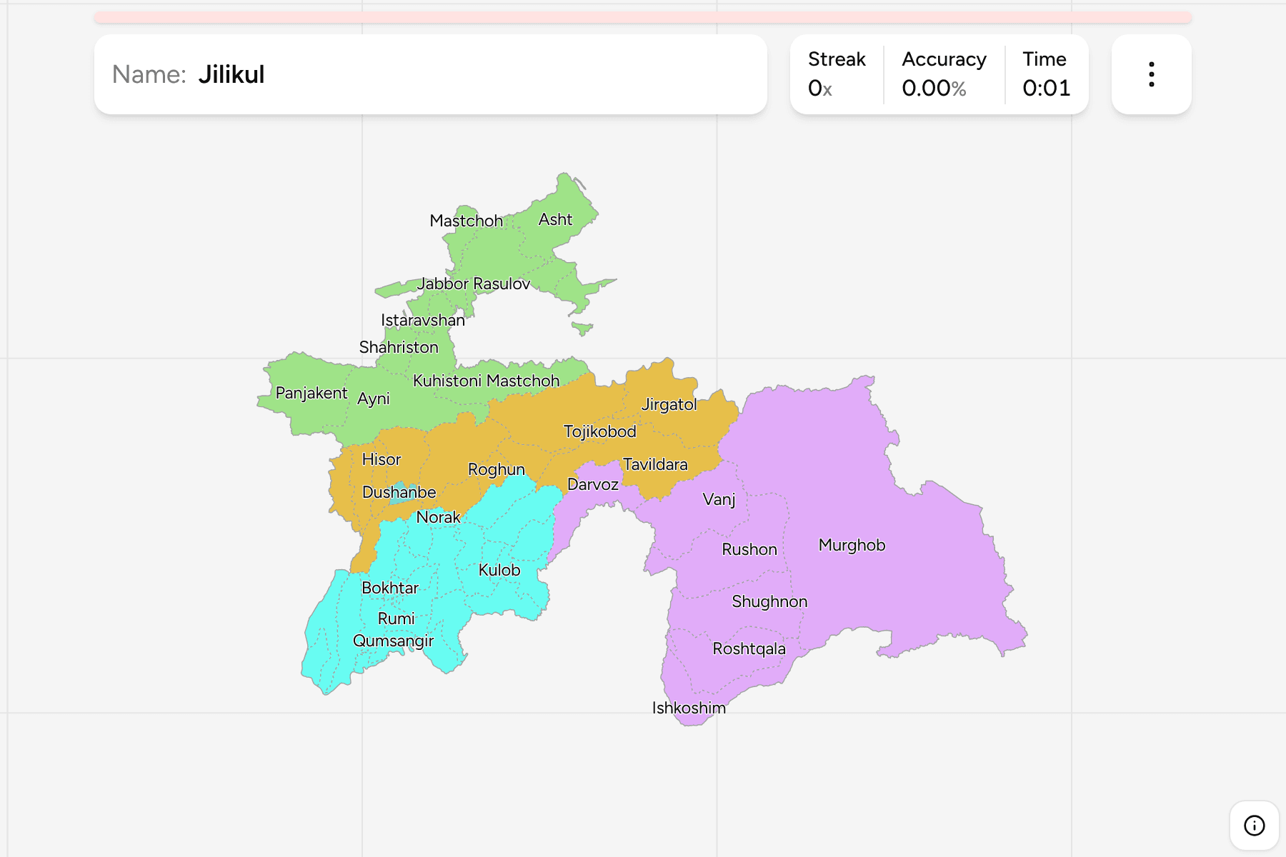
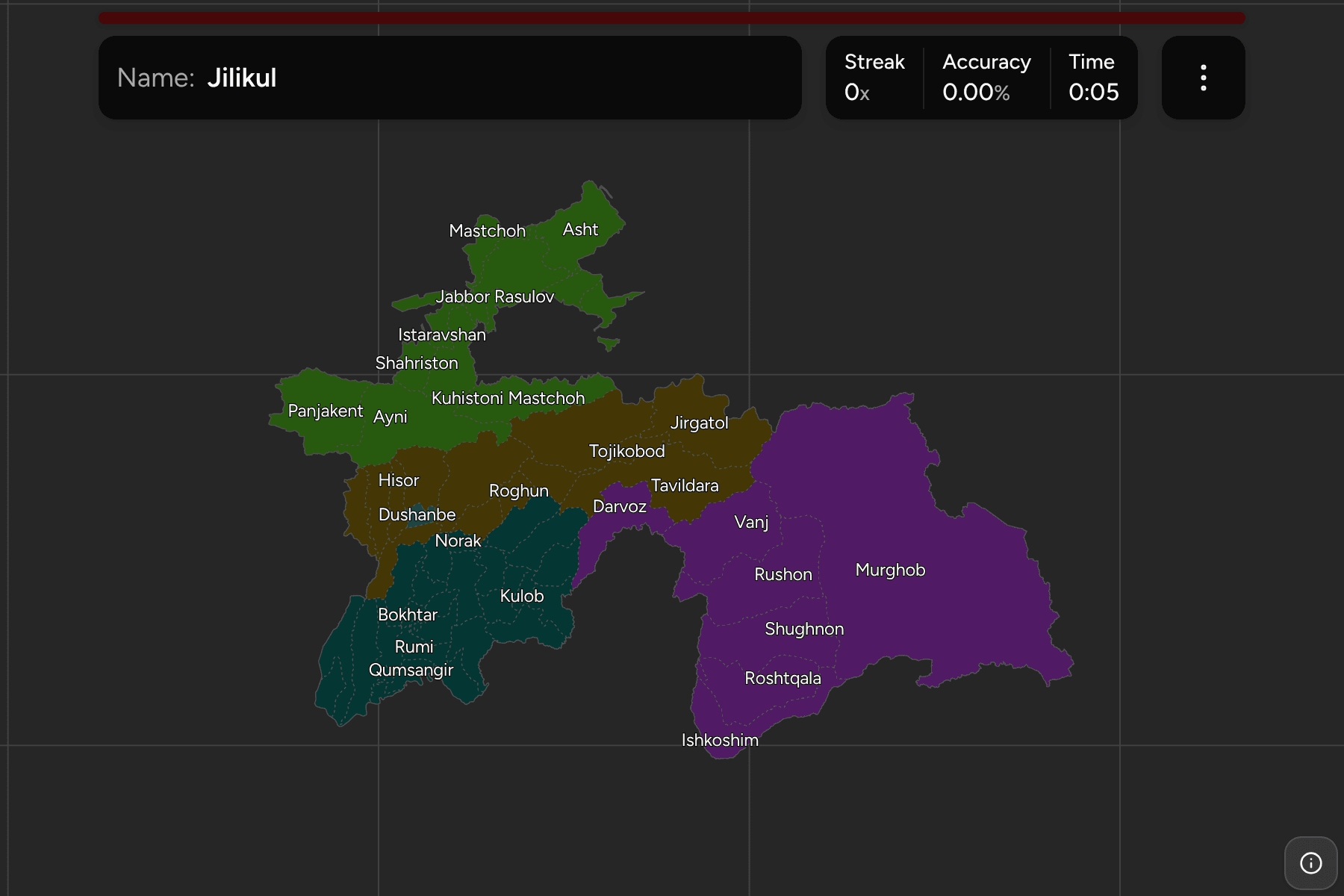
The district (nohiya) is the second tier of Tajikistan, between the five regions
and the village councils below them. The quiz draws the whole country in
districts, from the vast empty districts of the Pamirs to the small farming
districts of the Fergana Valley and the Vakhsh valley, and the capital Dushanbe
as a unit of its own.
- The quiz
- Name to place, on the map
- Grouped by
- Region: the five of the country
- In the game
- 59 districts
What you are looking at
The districts of Tajikistan, as the boundary file draws them. Tajikistan also
gives some towns the rank of a city of regional subordination, but the file does
not draw them apart from the district round them, so Khujand, Kulob and the others
are answered by the district that holds them. Dushanbe is the one exception: the
file has no district for the capital, only a hole in the polygon of Rudaki, so
the quiz cuts the city out of Rudaki and draws it as a district of its own.
The Districts of Republican Subordination are a region that answers to the
capital, and their districts lie in two separate pieces, one east of Dushanbe and
one in the centre of the country. Learn them as a group, and then each piece on
its own.
The districts are very uneven. Murghob, in the far east of Gorno-Badakhshan, is
the largest in the quiz by a long way, a high desert plateau on the Chinese
border. In the Fergana Valley and the south west the opposite holds: districts
are packed so tightly that the smallest have a tap area wider than their outline,
and zooming in is the way to reach them.
Spellings follow the boundary file, which uses the Tajik forms transliterated
into Latin letters (Hisor for Gissar, Roghun for Rogun), with the two stray
apostrophes of Roshtqala and Vose dropped.
How to place one
- Pick one region and learn it. Gorno-Badakhshan has seven districts and is
the quickest to finish; Khatlon has twenty-four.
- Start with the giants. Murghob, Ayni, Rushon and Tavildara are the largest,
and between them they cover the mountains of the east and centre.
- Find the districts by their rivers. The Panj marks the Afghan border all
the way along the south, and the districts of Khatlon and Gorno-Badakhshan
line up along it.
- Treat the Fergana Valley as a puzzle. The districts of Sughd are small and
packed round a basin that is shared with Uzbekistan and Kyrgyzstan, so take it
one town at a time.
Every district, by region
- Sughd14 districts
- Asht, Ayni, Ghafurov, Ghonchi, Isfara, Istaravshan, Jabbor Rasulov, Konibodom, Kuhistoni Mastchoh, Mastchoh, Panjakent, Shahriston, Spitamen, Zafarobod
- Gorno-Badakhshan7 districts
- Darvoz, Ishkoshim, Murghob, Roshtqala, Rushon, Shughnon, Vanj
- Khatlon24 districts
- Baljuvon, Bokhtar, Danghara, Farkhor, Hamadoni, Jilikul, Jomi, Khovaling, Khuroson, Kulob, Muminobod, Norak, Nosiri Khusrav, Panj, Qabodiyon, Qumsangir, Rumi, Sarband, Shahrtuz, Shuro-obod, Temurmalik, Vakhsh, Vose, Yovon
- Districts of Republican Subordination13 districts
- Faizobod, Hisor, Jirgatol, Nurobod, Rasht, Roghun, Rudaki, Sharinav, Tavildara, Tojikobod, Tursunzoda, Vahdat, Varzob
- Dushanbe1 district
- Dushanbe
Worked examples
MurghobThe biggest of themMurghob is the largest district in the quiz, a high plateau in the east of
Gorno-Badakhshan on the borders of China and Kyrgyzstan. The town of Murghob lies
on the Pamir Highway, one of the highest roads in the world.
DushanbeThe capital, cut out of its neighbourDushanbe is a small patch in the middle of the country. Rudaki District
surrounds it on every side, so the two are easy to confuse: the capital is the
small one in the middle, and Rudaki is the ring around it.
Jabbor RasulovThe small one in the northJabbor Rasulov is a small district in Sughd, in the Fergana Valley, with the
town of Proletar at its centre. It is small enough to need a tap area, so zoom
in on the north of the valley to reach it.
Frequently asked questions
How many districts does Tajikistan have?
The country has about 58 districts, and it also has some cities of regional subordination. The quiz has the 58 that the boundary file draws, plus Dushanbe.
Why is Dushanbe a district here?
The capital is a first-level unit in its own right, but the boundary file leaves it out of its districts, so the quiz cuts it out of Rudaki and draws it as one.
Which region is each district in?
The quiz groups them by region, so you can drill one region at a time. Each region is its own quiz as well.
The tier above this one is Tajikistan Regions. For another
country at this level, see Kyrgyzstan Districts.
Sources