Tajikistan is nearly all mountains, and its map is lopsided in a way that makes
a round easy to read: the Pamirs fill the whole east, the people live in the
valleys round the edge, and there are only five first-level units to tell
apart.
- The quiz
- Name to place, on the map
- Grouped by
- Three parts of the country, an unofficial cut
- In the game
- 5 regions
What you are looking at
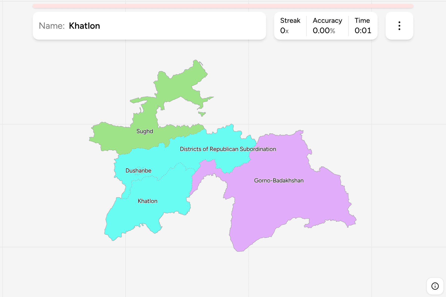
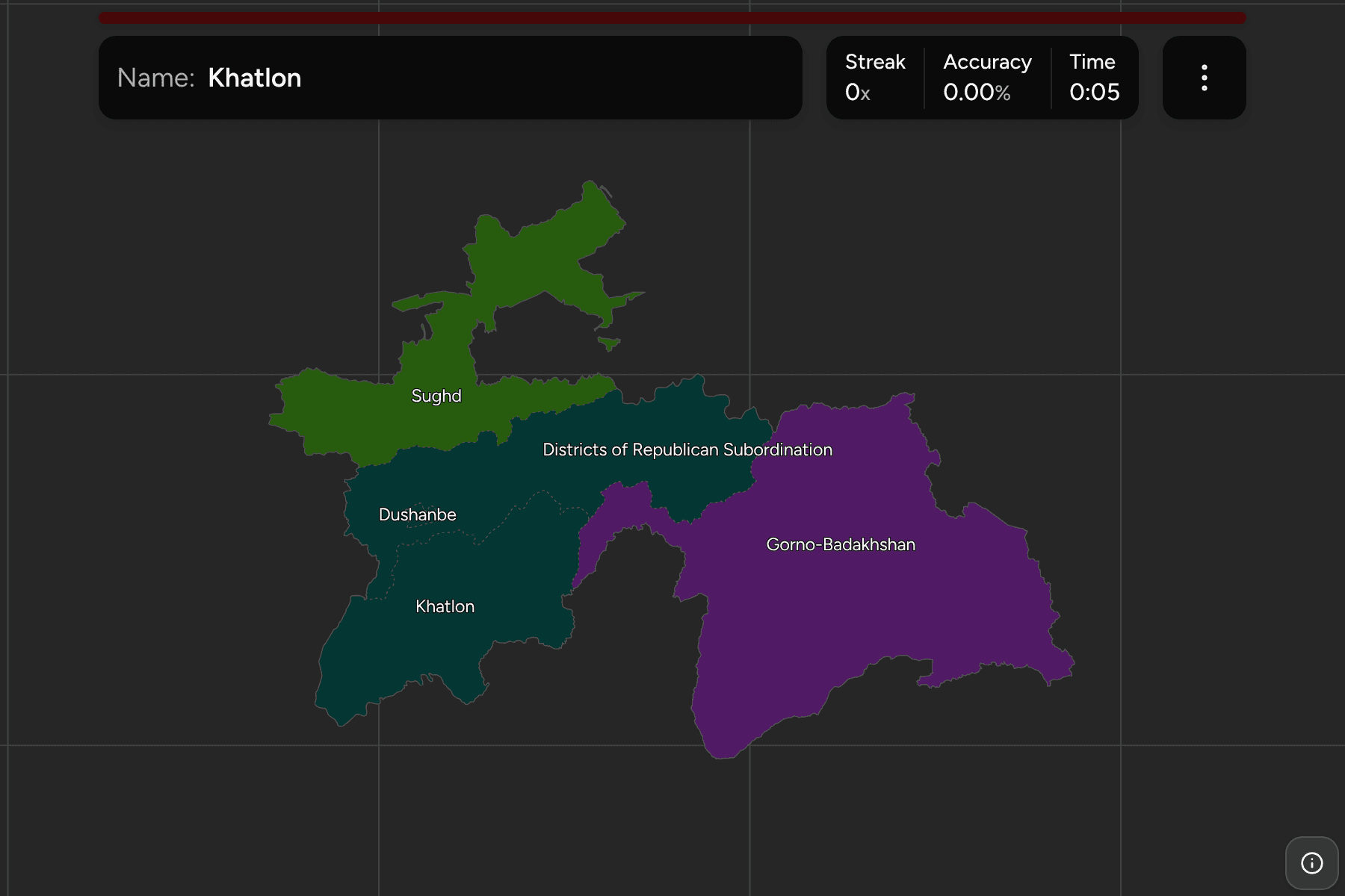
The first tier of Tajikistan: two regions (viloyat), Sughd in the north and
Khatlon in the south west, the Gorno-Badakhshan Autonomous Region in the east,
the Districts of Republican Subordination round the capital, and the city of
Dushanbe, which is a unit of its own.
Gorno-Badakhshan is the giant. It covers nearly half the country, the whole
of the Pamir range, and holds only a small share of the population. Sughd is the
narrow northern arm that reaches into the Fergana Valley, and Khatlon fills the
south west down to the Afghan border along the Panj river.
The Districts of Republican Subordination are the odd one out. They are not one
block but a set of districts that answer to the capital rather than to a region,
which on the map becomes a patch east of Dushanbe and a separate strip in the
centre of the country. Dushanbe itself is a speck inside them, small enough to
need a tap area, and zooming in is the way to reach it.
The groups are not an official classification. Tajikistan has no tier between
the regions and the country, so the quiz cuts the five into the north, the
Pamirs, and the centre and south, to let you drill them a piece at a time. The
regions are the Tajikistan Districts grouped, so the
borders of the two maps match exactly.
How to place one
- Start with the Pamirs. Gorno-Badakhshan is the huge region filling the
east, and the only one that borders China.
- Find Sughd. It is the narrow arm in the north that wraps round the Fergana
Valley, with Uzbekistan and Kyrgyzstan on either side.
- Fill the south west. Khatlon is everything between the Pamirs and the
Uzbek and Afghan borders.
- Finish at the capital. Dushanbe sits in the middle of the country, inside
the Districts of Republican Subordination.
Every region, by group
- North1 region
- Sughd
- Pamirs1 region
- Gorno-Badakhshan
- Centre and South3 regions
- Dushanbe, Khatlon, Districts of Republican Subordination
Worked examples
Gorno-BadakhshanThe biggest of themGorno-Badakhshan is the largest region by far, the whole east of the country.
It holds the Pamir highway and some of the highest peaks in the former Soviet
Union, and its capital Khorugh lies on the Panj river against the Afghan
border.
DushanbeThe city that is a regionDushanbe is the capital and a first-level unit of its own, a small patch in the
middle of the country. The Districts of Republican Subordination surround it on
every side.
Districts of Republican SubordinationThe one in piecesThe Districts of Republican Subordination are administered from the capital
rather than from a regional centre, so they are not one block. Learn the large
piece east of Dushanbe first, and the smaller pieces will follow.
Frequently asked questions
How many regions does Tajikistan have?
Five first-level units: Sughd, Khatlon, the Gorno-Badakhshan Autonomous Region, the Districts of Republican Subordination and the city of Dushanbe.
Why are the groups not official?
Tajikistan has no administrative tier between the regions and the country, so the quiz groups them into three parts of the map by position.
What is below the region?
The districts, which are their own quiz. Dushanbe is drawn as a single unit there too.
The tier below this one is Tajikistan Districts. For
another country at this level, see Kyrgyzstan Regions.
Sources