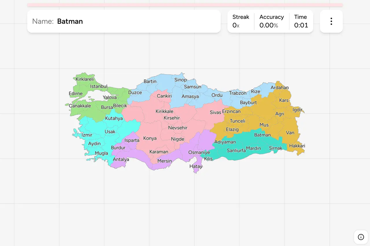
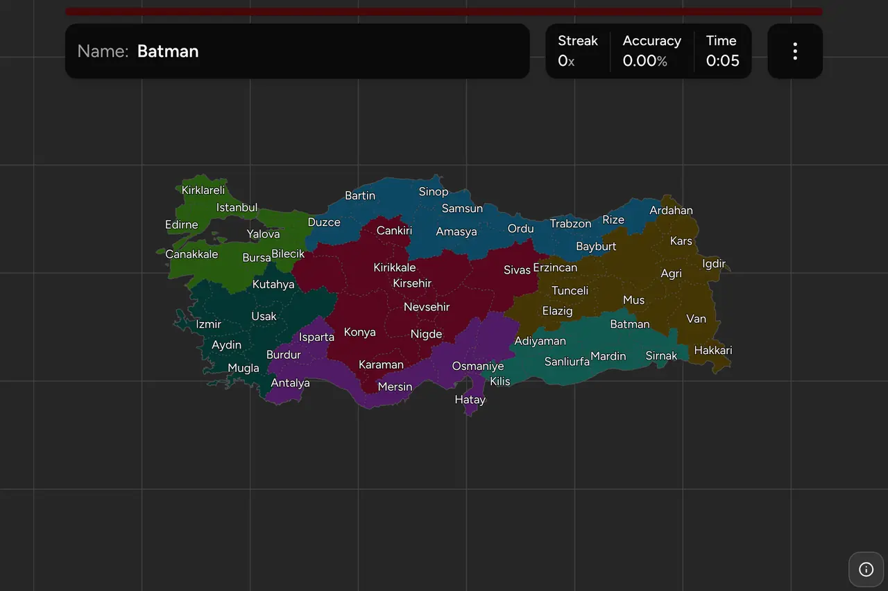
Turkey is divided into 81 provinces, and unusually for an administrative map,
every one of them carries a number you will see before you see the name. The
number is the first thing on every Turkish licence plate, it is stencilled on
municipal vehicles and printed on official signs, and for the first 67 provinces
it is simply the alphabet. Learn where the names go and the plate in front of you
stops being a two digit code and becomes a place. This page is the whole set,
region by region, and the game asks you to put each name on the map.
- The quiz
- Name to place, on the map
- Names
- English or Turkish
- In the game
- 81 provinces
What you are looking at
A province is an il in Turkish, run by a vali appointed from Ankara, and
in all but a handful of cases it is named after its own largest city. That is the
first thing worth knowing about this map: Konya the province surrounds Konya the
city, Trabzon the province surrounds Trabzon the city, and a road sign pointing
at a city is usually pointing at the province of the same name.
The numbers are the second thing, and they are the reason this set is worth
learning even if you never touch an administrative map again. Provinces 01 to 67
are in Turkish alphabetical order: Adana first, Zonguldak last, with everything
in between falling where the alphabet puts it. Antalya is 07 because it starts
with an A. Istanbul is 34 and Izmir 35 because I comes in the middle. Van is 65
and Yozgat 66 because they are near the end. So a plate you cannot place still
tells you roughly how far into the alphabet its province sits, which on a map
this well spread is a real narrowing.
Three of those early numbers look wrong under their modern names, and all three
are renamings rather than exceptions: 33 was Icel before it became Mersin, 46 was
Maras before it became Kahramanmaras, and 63 was Urfa before it became
Sanliurfa. Each still sits where its old name put it in the alphabet.
Numbers 68 to 81 are the provinces created since, and they are in the order they
were split off rather than in alphabetical order: Aksaray in 1989, Duzce in 1999
at the end of the list. A high number is a young province, and a young province
is usually a small one carved out of a large neighbour.
The country calls itself Turkiye, which is what the United Nations has used since
2022, and Turkish spelling makes a real difference to some of these names. The
game will show either form: switch on the local name in the start dialog and
Sanliurfa becomes Şanlıurfa, Kahramanmaras becomes Kahramanmaraş and Agri
becomes Ağrı. Turkish has an undotted ı and a dotted i as two separate letters,
plus ş, ç, ğ, ö and ü, and the English spellings on this page are those letters
flattened. If you are learning the names in order to read them off a sign, the
Turkish setting is the one to practise in.
How to place one
- Pick the coast, or rule them all out. Turkey has three long coastlines and
they carry most of the provinces you will meet. The Black Sea runs along the
whole north in a strip of narrow provinces stacked side by side. The Aegean is
the west, facing Greece. The Mediterranean is the south. Anything that touches
no sea is Central, Eastern or Southeastern Anatolia, which is half the country
and about half the list.
- Then find the anchor. Istanbul sits on the strait in the northwest, Ankara
in the middle, Izmir halfway down the Aegean coast, Antalya in the middle of
the Mediterranean one. Almost every province on this map is within two or
three steps of one of those four.
- Then work along the coast or out from the centre. The Black Sea provinces
run west to east from Zonguldak to Artvin in a line you can recite. The
Mediterranean runs Antalya, Mersin, Adana, Hatay from west to east, with
Hatay's odd finger pointing south into Syria.
The shapes that catch people out are the small ones created in the 1990s. Yalova,
Bartin, Karabuk, Kilis and Duzce are all young, all small, and each is wedged
against a much larger neighbour whose name comes to mind first. The other trap is
the names that begin alike and sit nowhere near each other. There are three Kir
provinces: Kirklareli on the Bulgarian border in the far northwest, and Kirikkale
and Kirsehir in the middle of Central Anatolia. There are three Kar ones:
Karabuk on the western Black Sea, Karaman in the south of Central Anatolia, and
Kars in the far northeast on the Armenian border. And Bitlis is in the east while
Bilecik is in Marmara, which is about as far apart as this map goes.
Hatay is worth its own note. It is the province that hangs south along the Syrian
coast, it was briefly a state of its own before joining Turkey in 1939, and its
shape makes it one of the two or three provinces on this map you can hit without
knowing the name at all.
Every province, by region
- Marmara11 provinces
- Balikesir (Balıkesir), Bilecik, Bursa, Canakkale (Çanakkale), Edirne, Istanbul (İstanbul), Kirklareli (Kırklareli), Kocaeli, Sakarya, Tekirdag (Tekirdağ), Yalova
- Mediterranean8 provinces
- Adana, Antalya, Burdur, Hatay, Isparta, Mersin, Kahramanmaras (Kahramanmaraş), Osmaniye
- Aegean8 provinces
- Afyonkarahisar, Aydin (Aydın), Denizli, Izmir (İzmir), Kutahya (Kütahya), Manisa, Mugla (Muğla), Usak (Uşak)
- Eastern Anatolia14 provinces
- Agri (Ağrı), Bingol (Bingöl), Bitlis, Elazig (Elazığ), Erzincan, Erzurum, Hakkari (Hakkâri), Kars, Malatya, Mus (Muş), Tunceli, Van, Ardahan, Igdir (Iğdır)
- Southeastern Anatolia9 provinces
- Adiyaman (Adıyaman), Diyarbakir (Diyarbakır), Gaziantep, Mardin, Siirt, Sanliurfa (Şanlıurfa), Batman, Sirnak (Şırnak), Kilis
- Central Anatolia13 provinces
- Ankara, Cankiri (Çankırı), Eskisehir (Eskişehir), Kayseri, Kirsehir (Kırşehir), Konya, Nevsehir (Nevşehir), Nigde (Niğde), Sivas, Yozgat, Aksaray, Karaman, Kirikkale (Kırıkkale)
- Black Sea18 provinces
- Amasya, Artvin, Bolu, Corum (Çorum), Giresun, Gumushane (Gümüşhane), Kastamonu, Ordu, Rize, Samsun, Sinop, Tokat, Trabzon, Zonguldak, Bayburt, Bartin (Bartın), Karabuk (Karabük), Duzce (Düzce)
Those are the seven geographical regions defined at Turkey's First Geography
Congress in 1941, and they are how the country is taught, forecast and talked
about: four named after the sea they face, three named for where they sit in
Anatolia. They have no administrative power at all, which is worth saying out
loud, because they look like a tier of government and are not one. Each can be
switched on and off on its own in the game's start dialog, which makes the Aegean
an eight province drill and the Black Sea an evening.
Inside a region the provinces run in number order rather than alphabetically,
which is why each list is alphabetical until it reaches the provinces created
since 1989 and then stops being so. Ardahan and Igdir at the end of Eastern
Anatolia, and Bayburt, Bartin, Karabuk and Duzce at the end of the Black Sea,
are the young ones.
The name in brackets is the Turkish one, which is what the boundary sign and the
weather forecast use, and what the game shows if you turn on local names. Where
nothing is bracketed the two spellings are the same.
Worked examples
IstanbulThe one on both continentsTurkey's largest city by a wide margin, and the only province on this map that
a strait runs through. Everything west of the Bosphorus is in Europe and
everything east of it is in Asia, which is why this province decides what
continent the country is filed under. Plate 34, which is the single most common
two digit code on any Turkish road.
AntalyaAn early letter on the south coastThe Mediterranean province in the middle of the south coast, and the clearest
case of the alphabet doing the work: 07 is low, so the name starts near the
front of the alphabet, and there is only one coastal A of that size. Antalya is
also the province most travellers have actually been to, which makes it a good
first anchor for the whole southern half of the map.
DuzceThe youngest provinceThe last province Turkey created, split out of Bolu at the end of 1999 in the
months after the two earthquakes that hit the region that year. It is the
highest number on any plate, it is small, and it sits inland of the Black Sea
coast between Sakarya and Bolu. Any plate in the high seventies is one of these
recent creations, so the number tells you the province is small before you know
which one it is.
Frequently asked questions
How many provinces does Turkey have?
81, and they cover the whole country with nothing left over. They are conventionally grouped into seven geographical regions, from Marmara in the northwest to Southeastern Anatolia on the Syrian and Iraqi border, and the game lets you drill one region at a time.
What do the numbers on Turkish licence plates mean?
The first two digits of a Turkish plate are the province the vehicle is registered in. 34 is Istanbul, 06 is Ankara, 35 is Izmir. Provinces 01 to 67 were numbered in Turkish alphabetical order, so a low number means a province whose name starts near the front of the alphabet, and 68 to 81 were handed out in the order the provinces were created between 1989 and 1999.
What are the seven regions of Turkey?
Marmara, the Aegean, the Mediterranean, Central Anatolia, the Black Sea, Eastern Anatolia and Southeastern Anatolia. They were defined at the First Geography Congress in 1941 and they are how Turkish geography is taught and how the weather is forecast, but they are not a level of government: the province is the top administrative unit and the regions sit above it only in description.
Which Turkish provinces are easiest to confuse?
Kars and Karaman, which sound alike and sit at opposite ends of the country. Bitlis in the east and Bilecik in the northwest. Aydin on the Aegean coast and Adiyaman in the southeast. And the small provinces created in the 1990s, Yalova, Duzce, Bartin, Karabuk and Kilis, which are easy to miss entirely because a bigger neighbour comes to mind first.
Are Turkish provinces useful for GeoGuessr in Turkey?
They are the main way to pin a Turkish location. Every plate carries its province code, road signs name the province you are entering, and official signage repeats it, so a single passing car often narrows the country to one province. That only helps if you know where the province is, which is what this trainer drills.
Is it Turkey or Turkiye?
Both refer to the same country. Turkiye, written Türkiye, is the Turkish name and the one the United Nations has used since 2022. Turkey is still the common English form and the one most people search for, so this page uses it, and the province names are offered in both an English spelling and the Turkish one.
More administrative maps on the same side of the world: Russia Federal
Subjects, India States and Thailand
Provinces. For the country's European neighbours, try
Poland Voivodeships and Spain
Provinces.
Sources