Albania is a small, mountainous country with a long Adriatic and Ionian coast,
and its twelve counties are the tier everybody uses: they name the regional
prefecture, the number plate and the weather forecast. Learning them is a
matter of reading the map from Tirana outwards, up into the northern mountains,
along the Macedonian and Greek borders, and down the coast.
- The quiz
- Name to place, on the map
- Grouped by
- Statistical region: Northern, Central and Southern Albania
- In the game
- 12 counties
What you are looking at
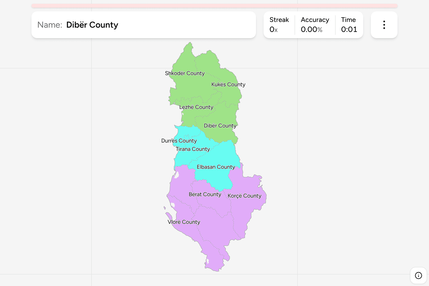
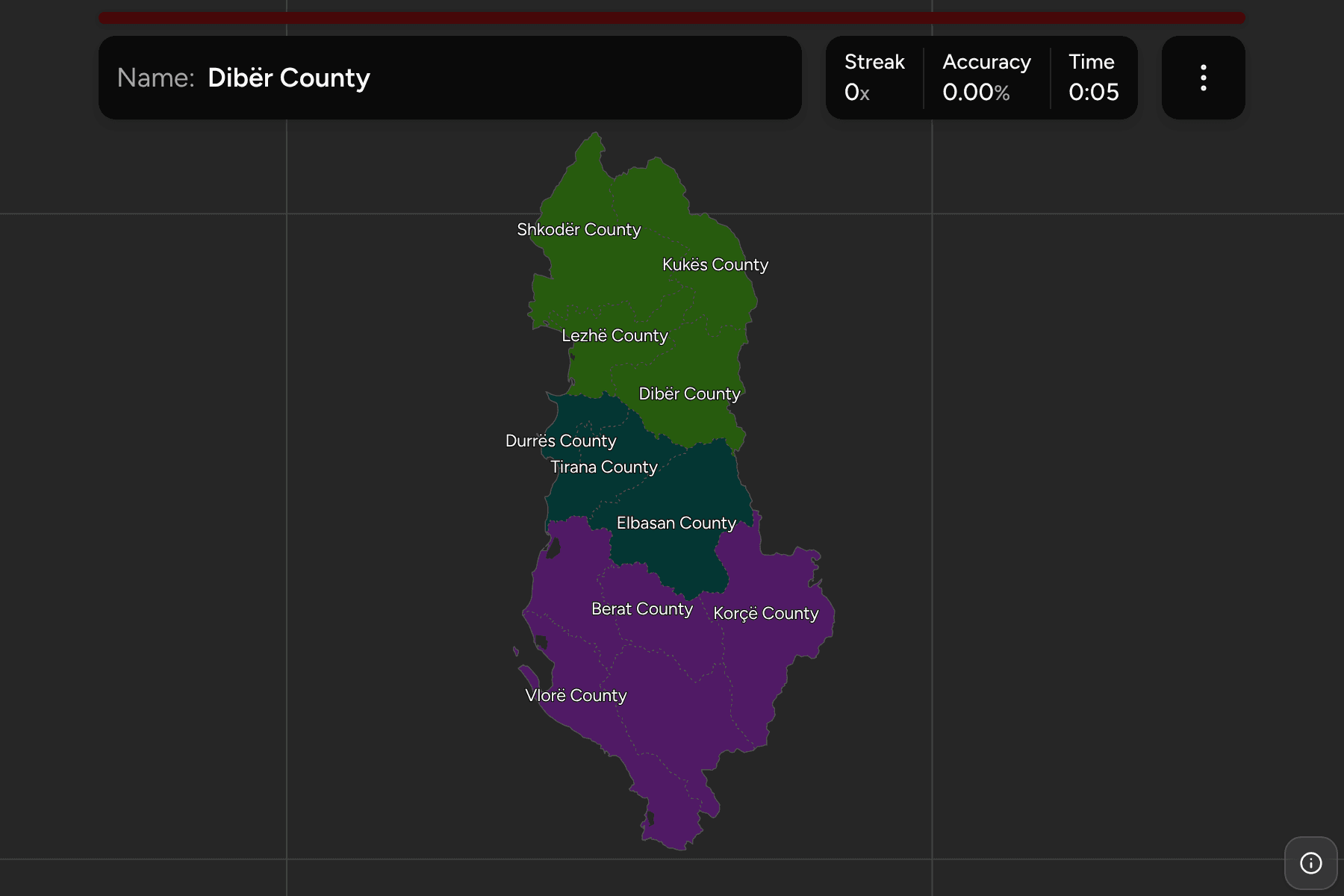
The qarqe: twelve counties, each named for its largest town, with Tirana
County around the capital and Korçë the largest by area. Durrës is the smallest
and the most crowded, a short stretch of coast beside Tirana.
The English names carry the word County and the local name is a switch in the
start dialog, so Berat is Qarku Berat. The counties are the municipalities of
Albania Municipalities dissolved, so the borders of
the two maps match exactly.
The groups are the three statistical regions Albania is sorted into for
Eurostat: Northern, Central and Southern Albania.
How to place one
- Start with Tirana and Durrës. They are the two counties in the middle of
the country, Durrës on the coast and Tirana just inland, and every other
county is placed against them.
- Go up into the north. Shkodër has the lake and the Montenegrin border,
Lezhë the coast below it, and Kukës and Dibër hold the mountains along
Kosovo and North Macedonia.
- Come down the middle. Elbasan fills the interior south of Tirana, with
Berat and Fier between it and the sea.
- Finish in the south. Korçë runs along the Greek and Macedonian borders,
Gjirokastër is the long county beside it, and Vlorë is the southwestern
coast.
Every county, by region
- Northern Albania4 counties
- Dibër County, Kukës County, Lezhë County, Shkodër County
- Southern Albania5 counties
- Berat County, Fier County, Gjirokastër County, Korçë County, Vlorë County
- Central Albania3 counties
- Durrës County, Elbasan County, Tirana County
Worked examples
Tirana CountyThe capital countyTirana County holds the capital and almost a third of the country's people.
It sits between the coast and the mountains, with Durrës to its west, and it
is the easiest county to place first.
Durrës CountyThe smallest of themDurrës County is a short strip of the Adriatic coast around the country's
main port. It is the smallest county on the map and the one most often
mistaken for part of Tirana.
Korçë CountyThe biggest of themKorçë County covers the south-east of the country, around Lake Prespa and the
Greek border. It is the largest county by area, a broad block that nothing
else on the map matches.
Frequently asked questions
How many counties does Albania have?
Twelve. They are the first tier of the country, below the state, and they have been the same twelve since the districts were replaced in 2000, even though the municipalities beneath them were merged in 2015.
Which county is the biggest?
Korçë County in the south-east is the largest by area, and Tirana County around the capital is the largest by population.
Are the counties the same as the statistical regions?
No. Eurostat sorts the twelve into three regions, and those are the groups in this quiz. A county is a unit of the state with a prefect's office; a statistical region is a unit of the statistics office.
The tier below this one is Albania Municipalities,
whose counties are the groups there. For another small country at this level,
see Estonia Counties.
Sources